


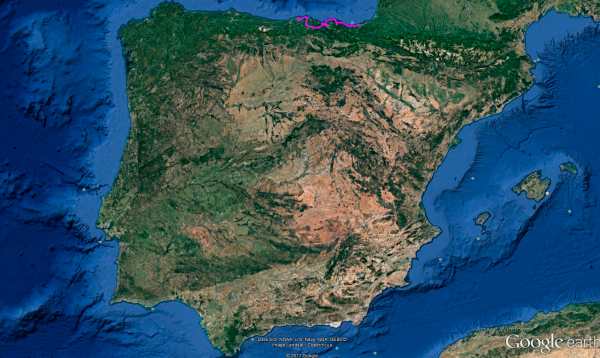
Distance 299 Km. distributed across roads of the following types:
Autopistas y autovías: 21 km. Carreteras Nacionales: 45.5 km. Autonómicas de 1º nivel: 69.3 km. Autonómicas de 2º nivel: 87.1 km. Autonómicas de 3º nivel:61.5 km. Asfalto o cemento sin nombre: 14.6 km.
Sections: 30
Autor: Gérard
Descripción:
Beautiful route that will take us from La Concha Beach in Donostia to El Sardinero Beach in Santander, following the line of the Basque coast.

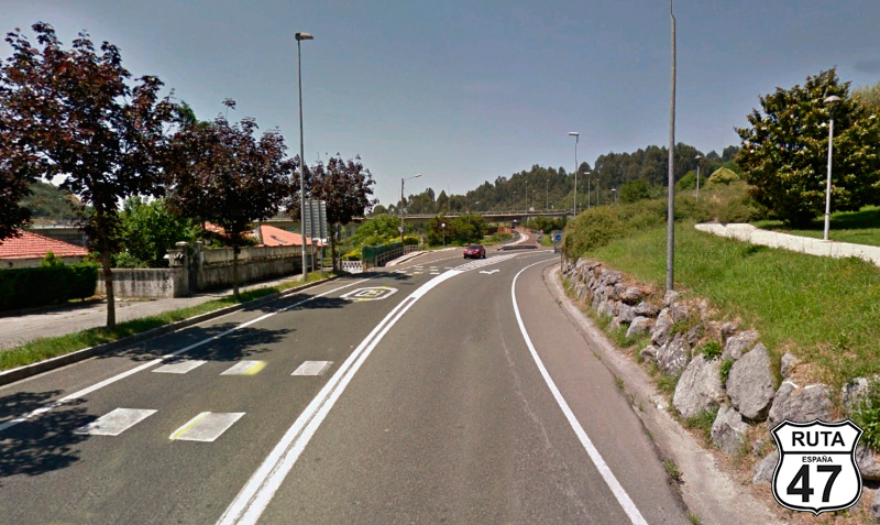
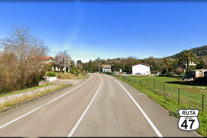
Tramo 1: SAN SEBASTIÁN-DONOSTIA - N-634 (14.6 Km)
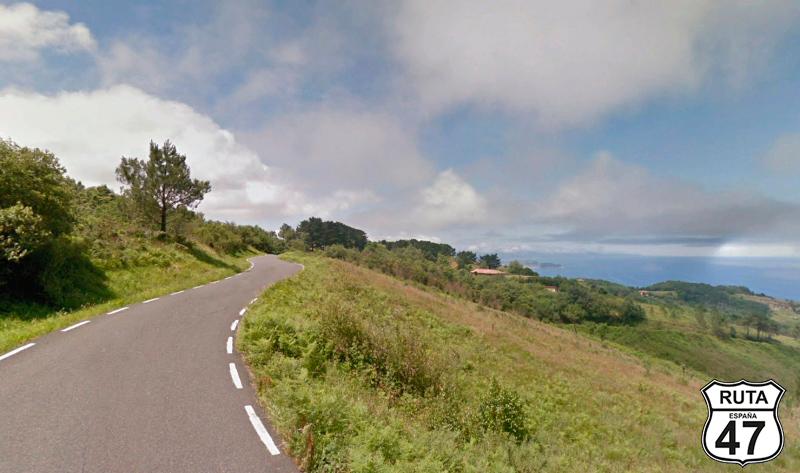
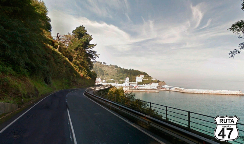
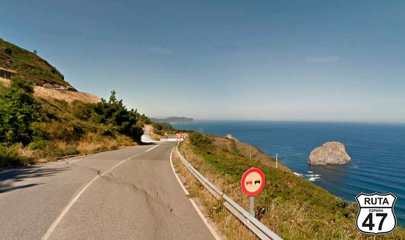
We leave Donosti through an atypical place: the road to Mount Igeldo. Igeldo is a town located on a mountain of the same name where there is also a small vintage-style amusement park that visitors to Donosti cannot miss. Visiting this park is like going back to the 60s, and although some attractions have been renovated, others remain exactly as they were in those years. Interestingly, the best attraction in the park is the funicular that takes us there, and it's worth visiting the park even if only for the views of Donosti and La Concha Bay.
You can leave the cable car for another day, as there is a road that goes up to the park and continues to Orio, making up the first stretch of this route.
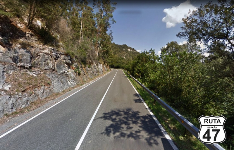
Once in Igeldo, the road turns into a narrow but incredibly well-paved track, and the sea views from here are breathtaking during the 8 km of the track.
After these kilometers, we start a winding and short descent that will take us to the end of the stretch, very close to Orio.
Final del tramo

Tramo 2: N-634 - GI-638 (33 Km)
We are now on the N-634. This road, with good asphalt and wide like a national road, will take us to the Itziar pass, covering much of the Guipuzcoan coast. At the beginning of the stretch, we find Orio, a fishing town omnipresent in the La Concha Regatta, which takes place in Donosti in September.
After Orio, we climb the Zudugaral pass, only 90 meters above sea level, and after descending, we reach Zarautz, with its large and wavy beach, where one of the surf championship events is held, and where Carlos Argiñano's restaurant is also located.
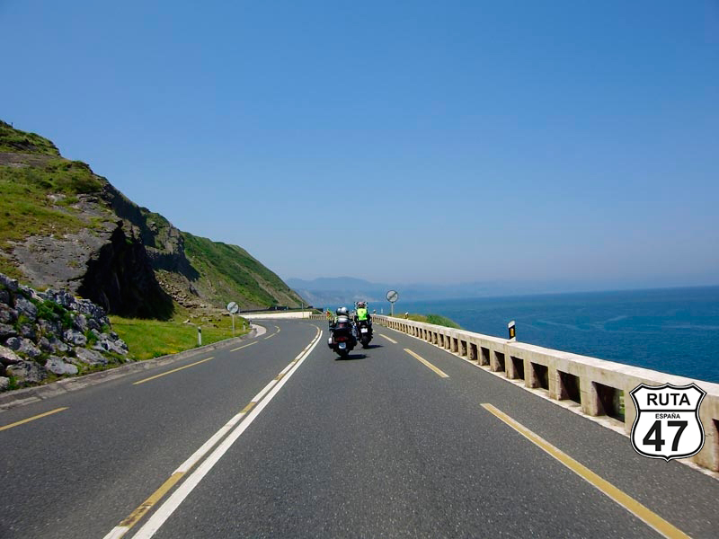
We leave Zarautz behind and continue towards Zumaia, passing through Getaria along the winding road with the omnipresent sea on the right, where the shape of its curious "Ratón" (Mouse) is even more noticeable. By the way, the 12 km that separate Zarautz from Zumaia have been classified as one of the best roads in the world.
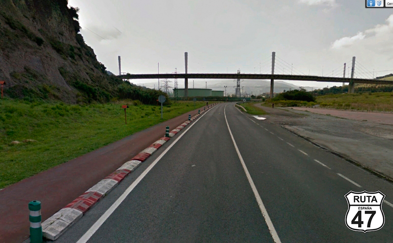
With Zumaia behind us, we lose sight of the coast for a while to ascend the Itziar pass next to the town of the same name, where occasionally we still catch a glimpse of the Cantabrian Sea. After a winding descent, we reach Deba, another beautiful coastal town.
Shortly after, an open right turn in the company of the River Deba signals the end of the stretch at a roundabout where we will take the first exit.
Final del tramo

Tramo 3: GI-638 - BI-638 (8.3 Km)
We begin this coastal section by crossing the Deba River to approach the sea again and follow the coastline to reach Mutriku.
We advance 3 more kilometers and reach the Sarurrarán beach, belonging to the municipal area of the town we just passed, despite being close to Ondarroa.
Final del tramo

Tramo 4: BI-638 - Ondarroa (1 Km)
A green sign with the text "Bizkaia" in white letters announces that we have just left Gipuzkoa, the smallest and most densely populated Spanish province.
Through this tiny stretch of just one kilometer, we reach Ondarroa, which is located at the foot of a small mountain. There we encounter a roundabout where we have to turn right to take the first exit towards Lekeitio.
Final del tramo
Tramo 5: Ondarroa - BI-2238 (14.5 Km)
We move through this beautiful coastal town following the silhouette of the Artibai River, which flows into the Cantabrian Sea a few meters ahead, while we can admire the small recreational boats moored there. When we cross the river to access a roundabout, we must turn left and in a few meters make a 180º curve to find the exit that takes us to the BI-3438, a road that we will continue on for almost 15 km.
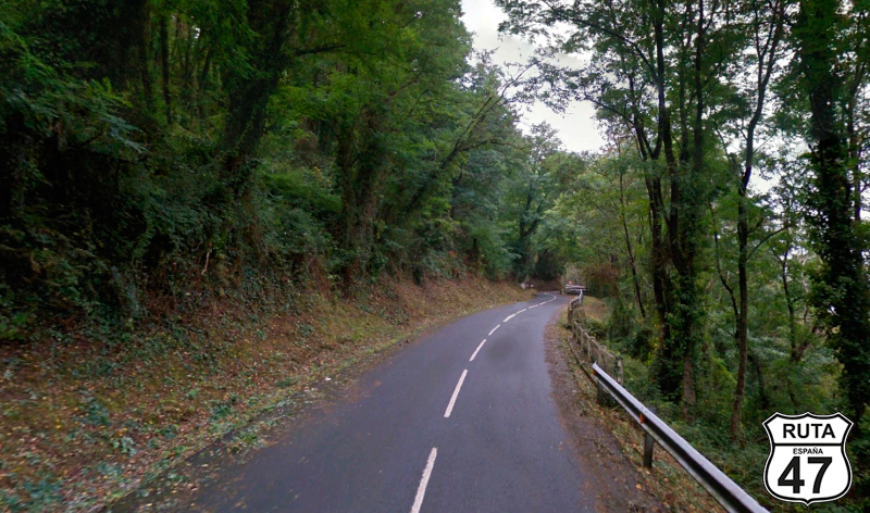
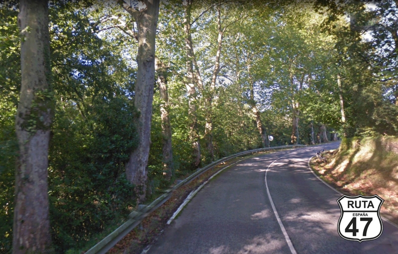
The lushness of the trees on both sides of the road prevents us from having a constant view of the sea, which occasionally appears after some clearings, although this winding stretch follows the coastline.
Shortly after, we reach Lekeitio, another beautiful tourist and fishing town on the Biscayan coast, where this section ends on its way out.
Final del tramo

Tramo 6: BI-2238 - Gernika (21.5 Km)
Heading west and entering the interior, we are now heading towards Gernika, famous for its bombing during the Spanish Civil War depicted by Picasso, perhaps his most important painting.
In constant and winding ascent, upon reaching the highest part, we enter the Urdaibai Natural Reserve, declared a Biosphere Reserve by UNESCO in 1984.
We begin its corresponding descent, and after a large left turn that takes us south, we arrive in Gernika.
Final del tramo
Tramo 7: Gernika - Bermeo (14.1 Km)
With almost a third of the route covered, we head north again in search of the sea on the BI-2235, a second-level regional road.
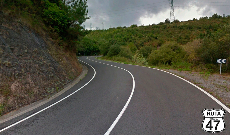
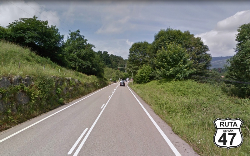
Although this type of road is usually characterized, especially in the north of the peninsula, by its winding layout, this one, in particular, is very straight, at least for the first 9 kilometers. Also, this road has quite a bit of traffic with continuous lines and several speed limitations of 50 km/h as it passes through several closely spaced urban areas.
At the end of the long straights, we start to curve again as we enter Sukarrieta and shortly after Mundaka, where we will once again follow the wonderful coastline, ending this section in the next town: Bermeo.
Final del tramo

Tramo 8: Bermeo - Bakio (13 Km)
We leave Bermeo looking for the BI-3101, quite wide for what these yellow roads usually are but with many curves and the charming landscape offered by the Cantabrian coast with cliffs and small islets near the shore.
We leave behind the Urdaibai Natural Reserve to find a great Biscayan surprise: San Juan de Gaztelugatxe. Midway between Bermeo and Bakio, this jewel is a must-see. It's an island as small as it is impressive, with a narrow path of 241 steps zigzagging from side to side until reaching the top. Once there, you'll see the church with a bell on its front wall. According to legend, if you ring the bell three times and make a wish, it will come true. Our wish has been to keep riding motorcycles for a long time.
The turn to this wonderful place is after PK 32. Just from this milestone, you can see it in the distance. The only inconvenience, if you can call it that, is that you'll have to park the bike in a free parking lot and walk 1.5 km downhill, but it's definitely worth it.
We leave behind this scenic wonder, and shortly after that, we reach the town of Bakio.
Final del tramo

Tramo 9: Bakio - BI-3151 (15 Km)
We leave behind Bakio and progress along the BI-3152, ascending to 300 meters above sea level on this winding road. At the base of the descent, we can observe the concrete monstrosity that constitutes the Lemoniz nuclear power plant project, which was never completed.
2.4 kilometers later, we reach Armintza, and after passing through this coastal town, we turn right at the first intersection towards Plentzia and Gorliz on the BI-3151, also a third-level regional road.
Final del tramo

Tramo 10: BI-3151 - Plentzia (6 Km)
We have been riding on impeccable, wide, and winding asphalt for quite some time. This stretch is no different. When we reach Gorliz, we will skirt its eastern part, turning left at the two roundabouts we encounter along the way. By advancing a bit further, we will reach Plentzia to cross its estuary via a 200-meter-long bridge.
Right at the end, we finish this stretch at another roundabout where, this time, we will turn right towards Barrika.
Final del tramo
Tramo 11: Plentzia - Sopelana (6 Km)
This time, we change the color of the road, traveling on the BI-2122 in the company of the Plentzia Estuary, which, after a curve, reveals a rugby field on the left and a myriad of recreational boats adorning the estuary on the right in a straight stretch of 600 meters.
Shortly after, we reach Elexalde and Sopelana, where this 6 km stretch ends at a roundabout under a pedestrian bridge.
Final del tramo
Tramo 12: Sopelana - BI-637 (2 Km)
We move through this short stretch of the first level, saying that it doesn't have any special attractions. During the two kilometers that make it up, we will cross Sopelana at 50 km/h as it is an urban area. At the end of the stretch, we pass under two bridges that make up the same roundabout, and shortly after, we connect with the next stretch.
Final del tramo
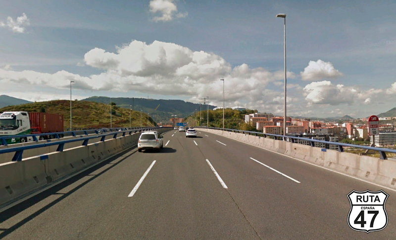
Tramo 13: BI-637 - A8 (13 Km)
The BI-634, through which we passed Sopelana, becomes the BI-637 and at the same time a kind of bypass that, by its shape, could be more of a blue road than the orange it is.
From here, we could say that all the towns we are going to pass through behave as one since they are absorbed by the capital of Vizcaya.
To reach our final destination at a reasonable hour and since many kilometers of secondary roads still await us, it is not convenient to linger too much. But, it is true that we cannot leave Bilbao without at least seeing the Guggenheim Museum. So, assuming you left Donosti early, you still have time to enter Bilbao and admire this masterpiece of architecture adorned with a huge Spider and Puppy, a dog-shaped sculpture covered with a vertical garden of flowers.
You can taste some typical dishes, pintxos, or enjoy a meal in a bar or restaurant in the area. We are in the Basque Country, and here, the food is always excellent.
Final del tramo

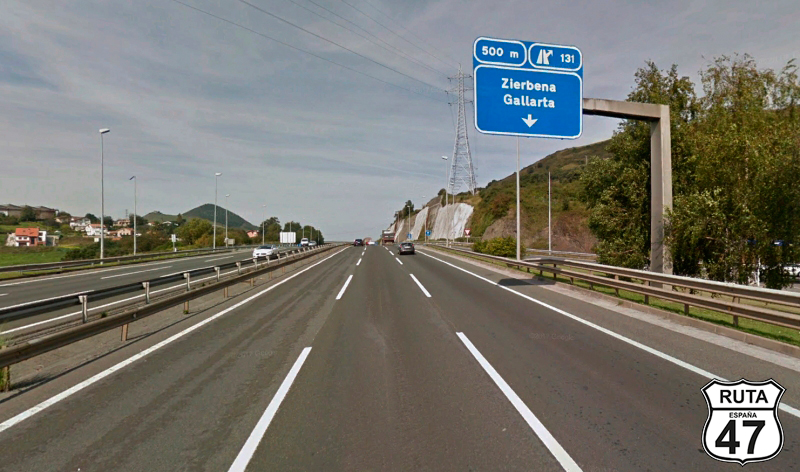
Tramo 14: A8 - N-639 (9 Km)
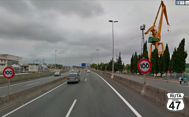
Whether you enter Bilbao or not, you must look for the A-8 to exit. You have to be very careful with this stretch because despite being a blue road, the speed limit is practically 80 km/h throughout its route.
After traveling almost 10 km, we leave this road at exit 131 towards Zierbena and Gallarta.
Final del tramo
Tramo 15: N-639 - Zierbena (2 Km)
After leaving the Biscayan capital and joining the N-639, we travel this short stretch of only 2 km to once again find the sea, which can be glimpsed in the distance, as we arrive in Zierbena along a straight road of equal length to this stretch.
Final del tramo
22
Tramo 16: Zierbena - Muskiz (6 Km)
After Zierbena, we continue our journey on the BI-3794 without having to turn at any intersections, and shortly afterwards, we arrive in Muskiz, where we bid farewell to the Basque Coast that has given us such good times and curves. Personally, to celebrate this farewell, the writer of this route has traveled to the "Playa de La Arena" of this coastal town to say goodbye to the Basque Cantabrian with a refreshing drink, looking at the sea.
Shortly afterward, we reach the urban center of Muskiz, and once there, we join the N-634 by turning left towards Bilbao at a roundabout that is not exactly round but rather elongated.
Final del tramo


Tramo 17: Muskiz - BI-2701 (0.5 Km)
Beware of this section as it is only 500 meters long.
We will cover this short distance through a street in Muskiz, which is actually the N-634, and turning right towards Galdames, Sopuerta, Zalla, Balmaseda, and Karrantza.
Final del tramo

Tramo 18: BI-2701 - BI-3614 (8.5 Km)
We are now heading south on the BI-2701, which zigzags through a valley, crossing the small mountains on both sides of the road as we reach La Baluga, a neighborhood belonging to the municipality of Sopuerta. A roundabout where we must take the first exit to the right marks the end of this section.
Final del tramo
Tramo 19: BI-3614 - BI-630 (7 Km)
If we compare it to the previous stretch, the asphalt deteriorates slightly over the 7 km that make up this section, but I could tell you that it's still in perfect condition.
Alternating curves between right and left, we reach a stop near a small urban center where we will turn right towards Carranza, Ramales, and Trucios.
Final del tramo

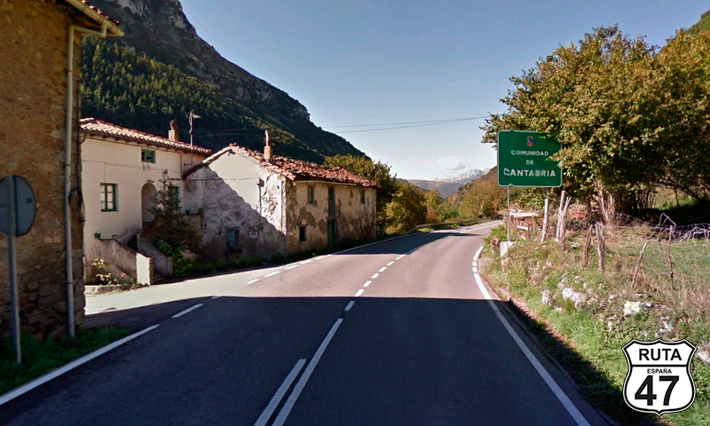
Tramo 20: BI-630 - CA-152 (4 Km)
We change roads but not asphalt or landscape. This 4 km stretch is very similar to the previous one.
Through its fast zigzagging, we say goodbye to the province of Vizcaya, to enter Cantabria.
Final del tramo
Tramo 21: CA-152 - BI-630 (6 Km)
The landscape changes completely in this short Cantabrian stretch, when at its beginning we reach Valle de Villaverde, opening up views that are limited by not very high mountains in the distance.
We ascend the La Escrita pass, at 430 m altitude, and from its summit, we see the sign announcing once again the entry into Euskadi.
Final del tramo
Tramo 22: BI-630 - CA-150 (11 Km)
While descending the La Escrita pass, a sign announces the entry into the municipal area of Karrantza, at the same time, we briefly skirt the Armañón Natural Park.
After 11 km of good asphalt and beautiful views, we bid a final farewell to Euskadi, coinciding with the end of this interesting park, whose rock formations have accompanied us for a while on the right.
Final del tramo
Tramo 23: CA-150 - N-629 (6 Km)
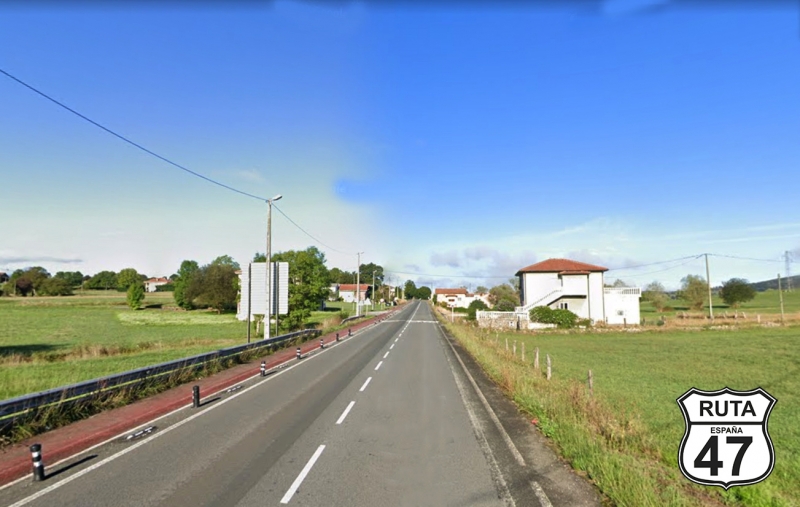
With over 200 km covered, less than 100 from our final destination of the day, and having definitively entered Cantabria, we travel these 6 km along this more or less straight orange route to reach the end of the section located on the outskirts of Gibaja.
The Karrantza River has been accompanying us for some time, which in turn is accompanied by the railway.
At kilometer 222 of the route, we make a stop to join the next section heading towards Burgos.
Final del tramo

Tramo 24: N-629 - Ramales de la Victoria (3 Km)
The 3 short kilometers of this section, alternating a left turn with a right one, both very open, will bring us closer to Ramales de la Victoria with the beautiful view of Pico San Vicente in the background, a spectacular rock formation.
Right behind a stone building with a sign announcing Bar Rte. El Ronquillo, we turn right towards Arredondo.
Final del tramo
69
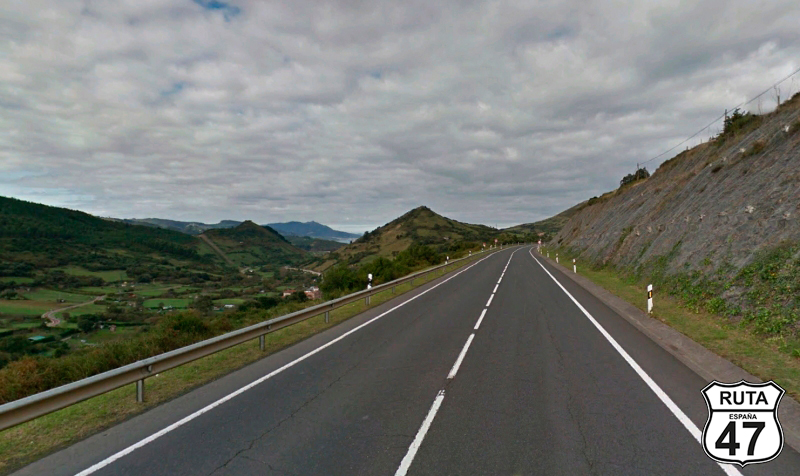
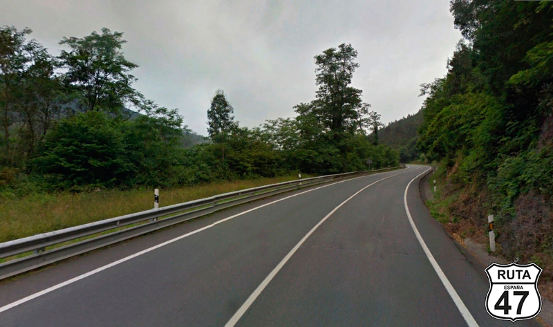
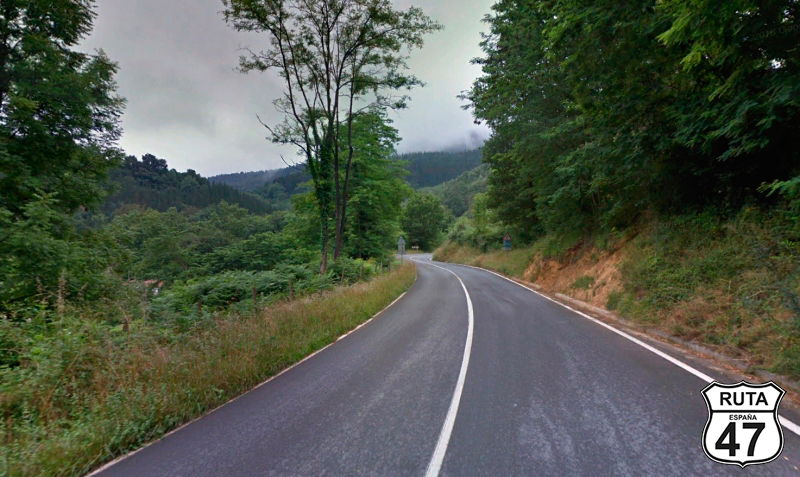
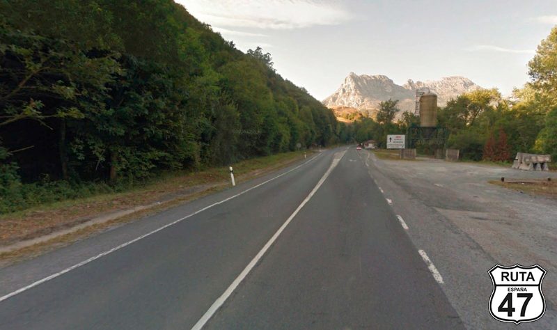
Tramo 25: Ramales de la Victoria - La Cavada (37 Km)
Almost in a straight line and heading west, we now travel on the CA-261 to Arredondo, where we will arrive after covering 12 km in the company of the Asón River, which sometimes appears on the right and other times on the left. The landscape is closing in, surrounded by mountains and fields filled with trees.
After passing through this town, we begin the ascent to the winding Puerto de Alisas on a wide and well-maintained asphalt, covering a gradient of 600 meters in just 8 km. The view is impressive at the top of the pass, where you can see the Cantabrian Sea in the distance as we start the descent that will take us to the end of the section located in the town of La Cavada.
Final del tramo
4
Tramo 26: La Cavada - Liérganes (4 Km)
Approaching the end of Stage 5 of Route 47, this short stretch, only 4 km long, brings us to Liérganes, with good asphalt and constant company from a small stream that populates the left side of the road with vegetation.
Final del tramo
3
Tramo 27: Liérganes - Pámanes (3 Km)
We leave Liérganes heading north and shortly after turn west towards Pámanes, which we reach after only 3 km of wide and well-maintained asphalt. Just before reaching this town, we cross under the A-8, ending the stretch here.
We cannot leave this town without stamping the official seal of Route 47 at Lolo Pámanes' establishment, probably the best motorcycle seat upholsterer in Spain, if not the world, who will welcome you with open arms. So, we make a brief stop, which we can use to have a drink and stretch our legs before tackling the last kilometers of this stage.
Final del tramo
2
Tramo 28: Pámanes - Sarón (7 Km)
After a new stamp in our passport, we continue southwest on the fast N-634, which runs parallel to the A8 for almost 7 km of this stretch. After a roundabout where we take the first exit, we reach the outskirts of Sarón. Without entering this town, we again take the first exit from a roundabout towards Cabárceno Park.
Final del tramo
Tramo 29: Sarón - El Astillero (11 Km)
Now heading north, we are getting closer and closer to Santander. The smell of the sea becomes more intense until we reach El Astillero, where we will take the second exit at a new roundabout that will take us to Santander for the final stretch of this route.
Final del tramo

Tramo 30: El Astillero - SANTANDER (12 Km)
As is often the case when ending up in a capital, we join a blue road, in this case, the S-10, to enter Santander and head towards the beach. It's May, and even though we're talking about the Cantabrian Sea, I'm not leaving without taking a dip in the charming Sardinero Beach.
Final del tramo