


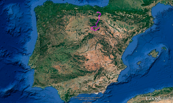
Distance 379 Km. distributed across roads of the following types:
Autopistas y autovías: 4 km. Carreteras Nacionales: 88 km. Autonómicas de 1º nivel: 44.2 km. Autonómicas de 2º nivel: 128.9 km. Autonómicas de 3º nivel:109.5 km. Asfalto o cemento sin nombre: 4.4 km.
Sections: 29
Autor: Gérard
Descripción:
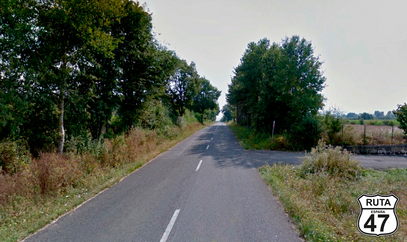
Tramo 1: VITORIA-GASTEIZ - A-3014 (19.4 Km)
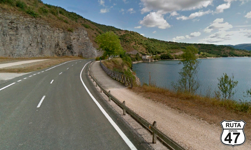
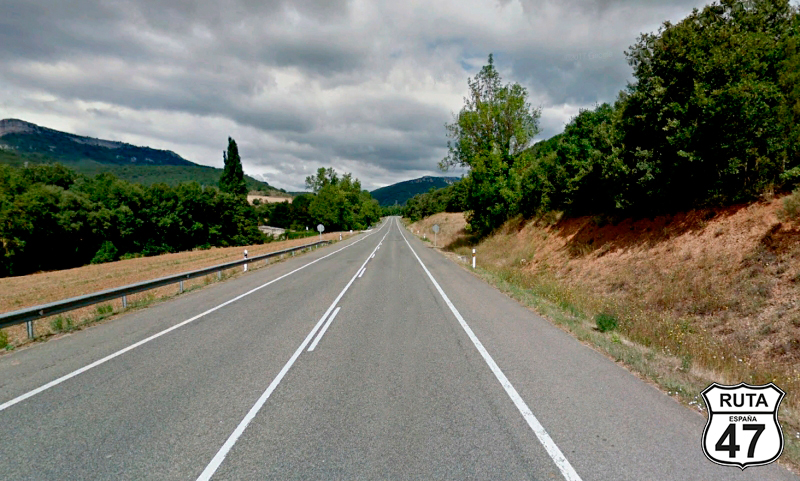
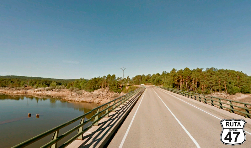
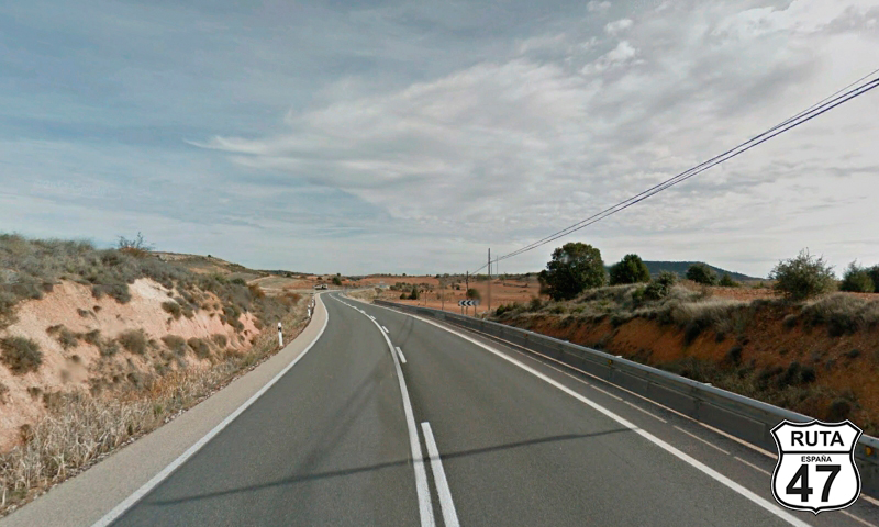
We leave Vitoria heading north in search of the Uribarri - Gamboa Reservoir via the A-3002, a yellow-labeled road, which we reach after covering the first 13 km of this stage on a rather straight path.
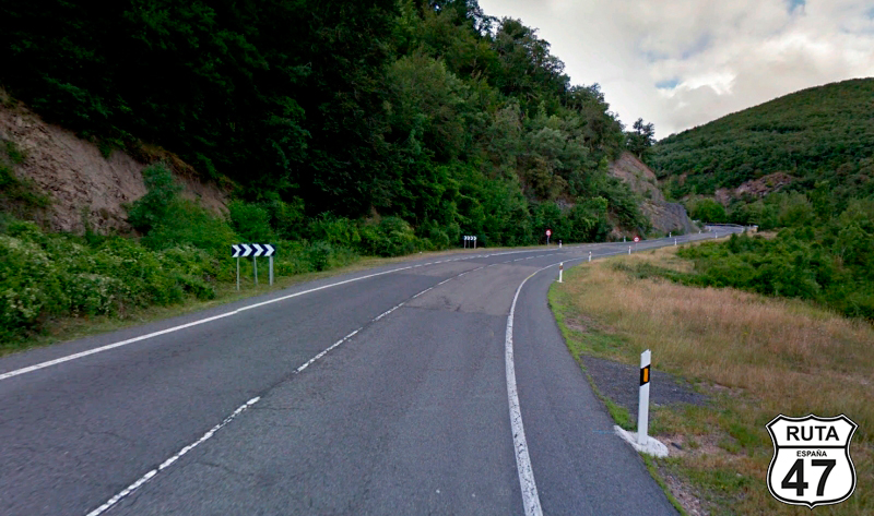
After Arroiabe, we access the reservoir by circling it on its left side, with the curves that this entails, until at the northernmost point, coinciding with the Etxezuri Restaurant, a regular stop for bikers and cyclists, we turn right to join the A-3014 towards Marieta and Ozaeta.
Final del tramo

Tramo 2: A-3014 - A-3012 (9 Km)
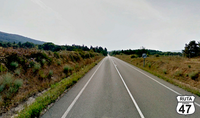
We continue on the east side of the Uribarri - Gamboa Reservoir on a wide, straight, and well-paved route, where it's hardly visible. Shortly before reaching Ozaeta, we will turn left after making a stop, heading towards Ozaeta and Salvatierra.
Final del tramo

Tramo 3: A-3012 - Vecinal (4.9 Km)
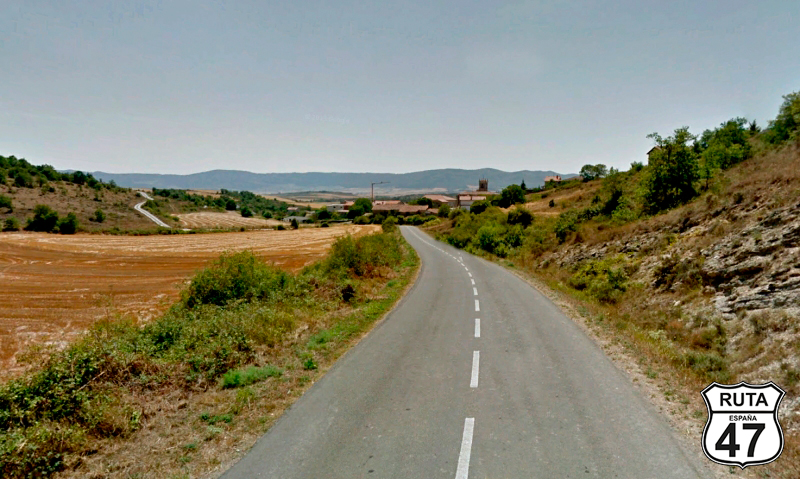
Houses in Ozaeta come into view as we start this section. In the background, Navarrese and Basque mountains set the horizon limit, and on the sides, cultivated fields alternate with others where cows graze freely. With hardly any curves and just before seeing the informative sign marking the end of the Aspuru population, we turn 90º to the right to join a local road.
Final del tramo
Tramo 4: Vecinal - A-3022 (4.4 Km)
Despite being a local road, this road is very well paved and even has horizontal signage, which is uncommon for this type of road. After a long straight of 4.4 km and passing Heredia, we reach a stop where we will turn left.
Final del tramo
Tramo 5: A-3022 - Salvatierra (5.4 Km)
We begin this short stretch of open landscape that will take us to Salvatierra, heading east on a straight road. Upon reaching Zuazo de San Millán, a right turn changes our direction to the south, thus avoiding the province of Navarre, which we passed through a few days ago but will unavoidably step on again today for 4 km. From this point on, we will be heading practically south.
Another straight road brings us closer to Salvatierra, a town from which we will leave by crossing the A-1 on an elevated bridge.
Final del tramo

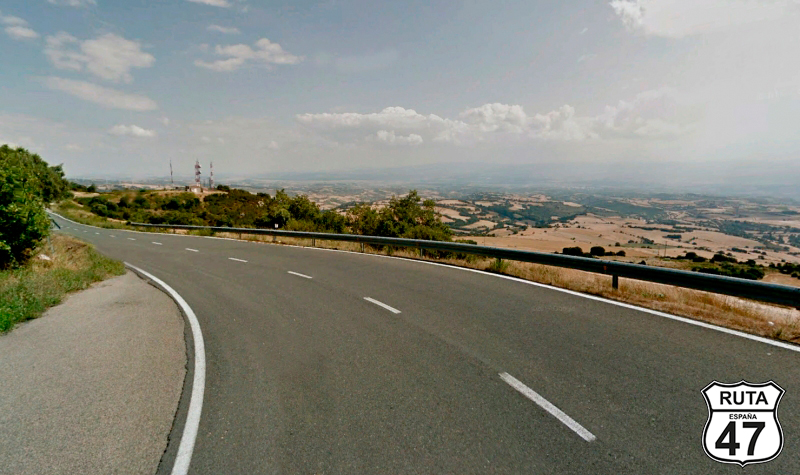
Tramo 6: Salvatierra - Sta.Cruz de Campezo (31.2 Km)
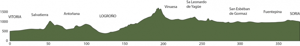
We are at kilometer 43 of the route, and until we reach Abejar, located in the province of Soria, various types of terrain await us, including mountain passes and reservoirs. So, we adjust ourselves well on the seat, take a deep breath, and with a smile on our faces, we prepare to tackle 180 km of CURVES.
We start this stretch by riding straight, and after two kilometers, we see a sign announcing the proximity of the Dolmen de Sorginetxe, located just 1.5 km away with road access to the dolmen itself. We couldn't resist the temptation to visit it.
After the obligatory photo at the Dolmen for the memories, we backtrack for another kilometer and a half to continue on the A-2128. Past Opakua, a steep and winding ascent takes us to the top of Opakua at 1020 meters above sea level. Once there, a 1 km straight road is the prelude to a less steep descent that brings us close to the foothills of the Sierra de Urbasa, one of Navarre's lungs. We will navigate around it by turning right just before reaching Contrasta.
After passing this town, another 15 kilometers of open curves will bring us to Santa Cruz de Campezo, passing through the towns of Ullibarri-Arana, Alda, and San Vicente de Arana.
Final del tramo

Tramo 7: Sta.Cruz de Campezo - Antoñana (6 Km)
Without entering the urban area of Santa Cruz de Campezo, we cross it on its north side on the wide A-132. After just 6 km, we reach Antoñana, which we leave on the right. After passing under a pedestrian iron bridge, we turn left towards Bujanda.
Final del tramo

Tramo 8: Antoñana - A-126 (14 Km)
Now we begin an ascent on the south side of the Izqui Natural Park, which houses the largest European reserve of the "Quercus pyrenaica" oak species.
The narrowness of the asphalt, which is a bit old, allows us to enjoy this road, which will be one of the last in Álava before entering the province of La Rioja.
Once at the top, stretches of cultivated land will accompany us until, at kilometer 90 of the route, we again ride through the undergrowth of the Natural Park.
Shortly after leaving the town of Quintana behind, a right turn at a yield sign will take us towards Bernedo and Logroño, the latter city being only 26 km away.
Final del tramo

Tramo 9: A-126 - Bernedo (1.2 Km)
Two straight stretches separated by a sweeping right curve bring us closer to Bernedo, where just at the entrance, we will turn left almost 180º to head towards Logroño.
Final del tramo

Tramo 10: Bernedo - NA-7210 (2.7 Km)
We start the ascent to the Zabalik pass with a right curve, continuing through a winding climb until we see a sign announcing the province of Navarre.
Final del tramo

Tramo 11: NA-7210 - Meano (3.8 Km)
We continue the ascent on this Navarre road until we reach the summit of La Aldea, at an altitude of 1000 m. Right at the summit, it's worth stopping on the shoulder on the opposite lane to admire the vastness of the landscape, where in the distance, you can see the mountains of Tierra de Cameros and Sierra Cebollera, which we will pass through in a couple of hours.
Final del tramo
Tramo 12: Meano - A-3220 (2 Km)
We leave Meano on another Navarre road: the NA-7242, and after riding 2 km among trees and good asphalt, we re-enter the province of Alava just after leaving this wooded area.
Final del tramo
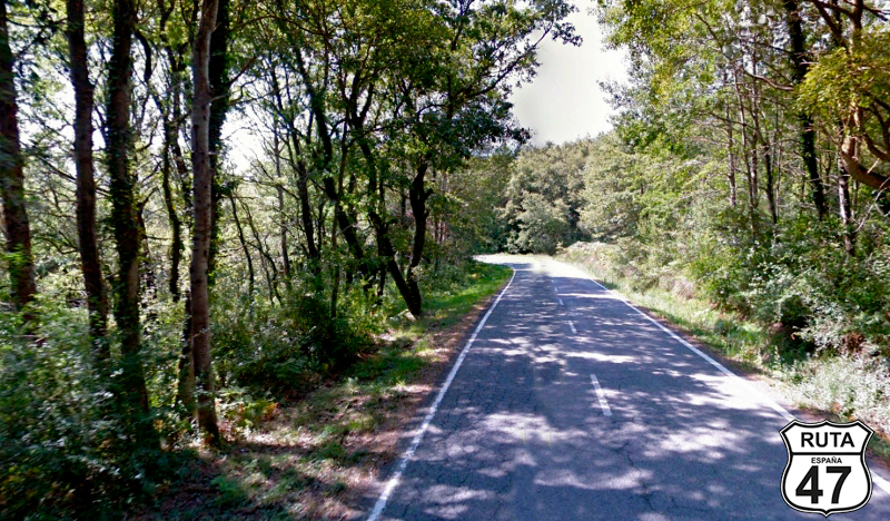
Tramo 13: A-3220 - A-124 (11 Km)
The change of province is noticeable in the condition of the asphalt, which, although very similar, shows that the Basque section has been repaired later than the Navarre one.
We are now riding through Rioja Alavesa, passing through urban centers like Kripán and Lanciego, located in the upper part of a valley planted with vineyards, which we can see on the right side and which will give rise to this Rioja Alavés.
After covering 115 km, we reach a T-shaped intersection, with the Ebro River in front, which makes a horseshoe bend in this area, and where we will turn left towards Logroño.
Final del tramo
Tramo 14: A-124 - LOGRO�?O (10 Km)
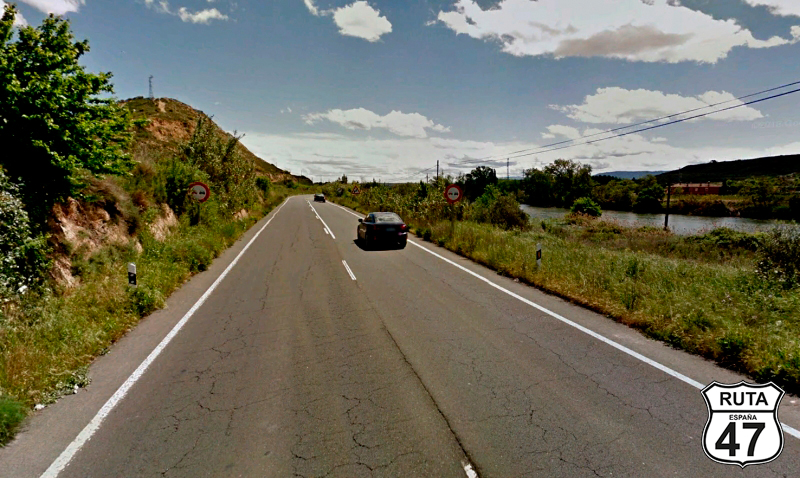
As we approach the capital of La Rioja on this first-level regional road, industrial buildings become more numerous, as is often the case on the outskirts of large cities.
We enter Logroño in the company of the Ebro River, crossing it on a bridge and arriving right at the historic part of the city.
It's a bit early for lunch, but a snack with coffee in the cathedral square, admiring this Gothic gem, will add a bit of culture while stretching our legs.
Final del tramo
Tramo 15: LOGRO�?O - LR-333 (48 Km)
We leave Logroño on the N-111 to travel the longest stretch of this route today. Ahead of us are 48 km of National road where you won't get bored with twists and turns.
The first 18 km are quite straight, and you have to go quite slowly as there are buildings practically all the time, but soon the curves begin. They run through the lower part of a valley, taking advantage of the winding course of the Iregua River.
If you're lucky enough to encounter few trucks, this is a fast route that at legal speed will allow you to enjoy open curves with good, wide asphalt adorned with unique rock formations that brighten up the landscape.
After the PK 279, we leave the National road at a detour towards Villoslada de Cameros.
Final del tramo

279
Tramo 16: LR-333 - SO-830 (6 Km)
We have just entered La Sierra Cebollera, the only natural space in La Rioja that holds the distinction of a natural park. We will only cross a small part of this Sierra, but at least we can say that we have stepped on it.
Right after leaving this beautiful natural park where we have ridden in constant ascent, we leave La Rioja and re-enter Castilla y León, specifically in the province of Soria.
Final del tramo
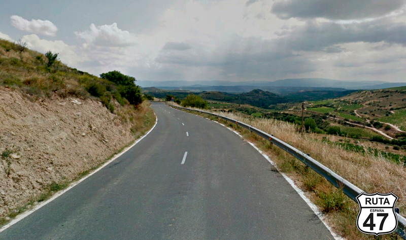
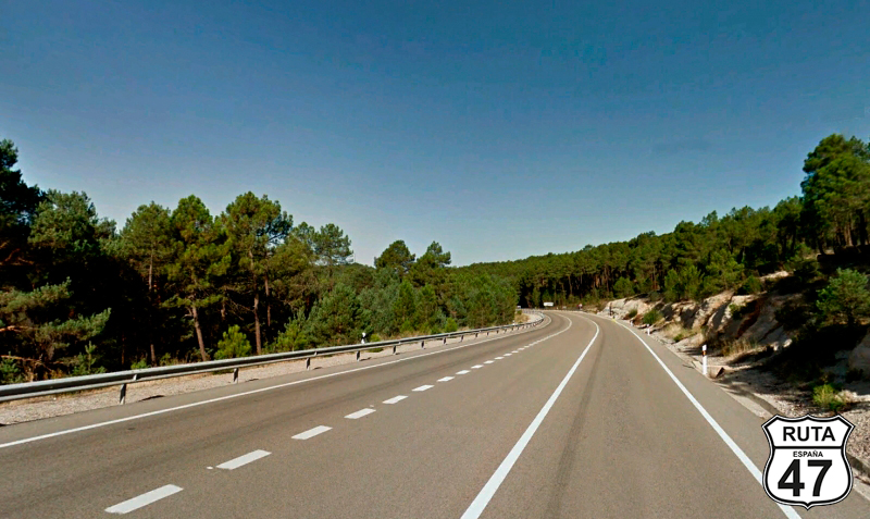
Tramo 17: SO-830 - Vinuesa (32 Km)
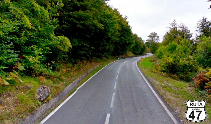
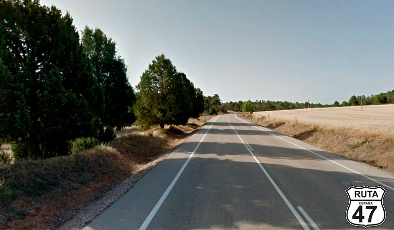
I can't help but hum "Camino Soria," the famous song by Gabinete Caligari, as I enter this province that I've always loved. Most of the time, I enter through La Ruta de los Dinosaurios, another incredibly biker-friendly road, but this time, we'll take the route through the Sierra de Cameros, which, although the asphalt is a bit more worn, also has great charm.
Four kilometers after starting this stretch along the SO-820, we reach Montenegro de Cameros, a small mountain village populated with stone houses—a place where one would retreat without a phone for a few days to do some hiking in the area.
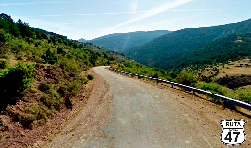
We continue ascending on this wonderful, fun, and winding road, reaching the highest point at the Punto de Nieve Sta. Inés, located at the Puerto de Sta. Inés, at an altitude of 1753 meters.
With almost 200 km of the stage covered, this would be a good place to have lunch given its surroundings. If you don't want to stop here, you can do so in Vinuesa, another beautiful town that we will reach after a 17 km winding descent with good views and well-maintained, wide asphalt.
We choose the second option, to take a stroll through the narrow streets of this charming Soriana town after lunch. But before eating, we have had time to visit Laguna Negra, an impressive glacial lake accessed by a good and winding road after taking a right turn before reaching Vinuesa.
Final del tramo
Tramo 18: Vinuesa - Molinos de Duero (4 Km)
We leave Vinuesa behind, touching a bit of the Cuerda del Pozo reservoir, and after just 4 km, we reach Molinos de Duero. In the same place as the sign announcing this town and right at the 38 km mark, we make a stop, turning left towards Abejar.
Final del tramo
38
Tramo 19: Molinos de Duero - Abéjar (11 Km)
Heading south, we now head towards Abejar on this first-level regional road. After covering 3 km, we once again encounter the Cuerda del Pozo Reservoir, which we cross via a bridge.
8 km later, following a rather straight path, we reach Abejar, the end of this stretch.
Final del tramo
62
Tramo 20: Abéjar - San Leonardo de Yagüe (24 Km)
226 km may not be much for a stage of Route 47, but if fatigue shows its worst side or you simply feel like arriving in Soria sooner, the end of this stage, you can join the N-234 to the left, and you'll reach the Soriana capital in just 20 minutes.
We decide to take the same road but to the right, heading towards San Leonardo de Yagüe and Burgos. We'll take a detour of 152 km, but it will be worth it as, although the route is hardly mountainous, we'll pass through medieval towns like El Burgo de Osma, of great tourist interest.
So, heading west, we head to San Leonardo de Yagüe, which we reach via this wide and well-paved National road, which we'll travel for 24 km and reach in about 18 minutes.
Final del tramo
Tramo 21: San Leonardo de Yagüe - Alcubilla de Avellaneda (26 Km)
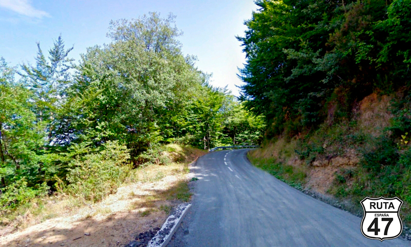
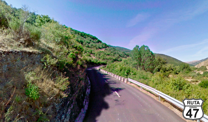
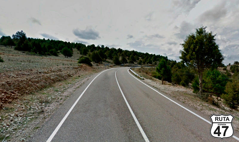
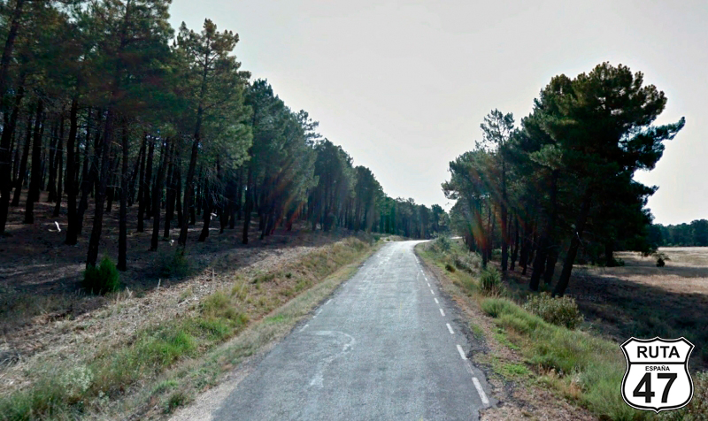
We leave San Leonardo de Yagüe on the SO 934 heading west. After traveling 3 km on this second-level regional road, we enter the Cañón del Río Lobos. After another 3 km through the canyon, we cross the Río Lobos and begin a winding ascent, overcoming a 100 m elevation gain in the next 3 km.
Shortly after leaving the canyon, we reach Sta. María de las Hoyas, where we continue on this road, passing through the towns of Muñecas, Guijosa, Quintanilla de Nuñó Pedro, and Alcubilla de Abellaneda, where we enter the urban area to find the exit on the SO-P-5001.
Final del tramo
25
Tramo 22: Alcubilla de Avellaneda - San Esteban de Gormaz (20 Km)
We find ourselves at the westernmost point of this stage, and now we head south towards San Esteban de Gormaz on this well-paved third-level regional road, where we notice the purple milestones instead of the usual yellow ones.
The monotony of the cultivated fields is interrupted by two stretches of vegetation and trees, coinciding with the points where we cross two rivers: El Perales and Las Rejas.
At the end of this stretch, we pass under a bridge over the N-122. At this point, we must choose whether to continue straight to see the beautiful city or turn left towards Soria and visit El Burgo de Osma. Due to time constraints, we choose the second option to make the final stop in this medieval town that we've heard is so beautiful.
Final del tramo
1
Tramo 23: San Esteban de Gormaz - El Burgo de Osma (16 Km)
Now we head east towards El Burgo de Osma, with the designation of Villa of Tourist Interest. Since we still have a bit of time before the expected arrival time in SORIA, we'll make a brief stop for a coffee and take a stroll to admire its medieval buildings, its cathedral...
So, after 8 km on the national road, it transforms into the A-11, but without covering a single kilometer, we take exit 218 to enter this beautiful town.
Final del tramo

218
Tramo 24: El Burgo de Osma - SO-P-4144 (10 Km)
Just over 50 km from the destination of this winding stage of Route 47, we leave El Burgo de Osma on the CL-116, a first-level regional road, wide, straight, and well-paved.
Approximately halfway through, the expansive landscape narrows a bit as we enter a wooded area with low-height trees.
After kilometer point 9, we change our course with a left turn towards Bayubas de Abajo.
Final del tramo
9
Tramo 25: SO-P-4144 - Bayubas de Abajo (5 Km)
The trees are a bit taller, the road narrower and less well-paved than the previous one, and the signs and milestones on this third-level regional road are once again purple as we approach Bayubas de Abajo, where the landscape opens up again in a large clearing.
Final del tramo
Tramo 26: Bayubas de Abajo - SO-P-4143 (2 Km)
We leave Bayubas de Abajo behind and continue along this short stretch until, after kilometer point 2, we turn left towards Tajueco and Fuentepinilla.
Final del tramo
2
Tramo 27: SO-P-4143 - Fuentepina (13 Km)
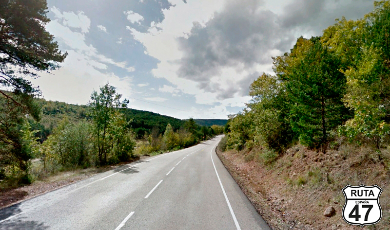
Medium-height trees are present again until, after Tajueco, the landscape opens notably. We pass through Valderrodilla and end the stretch in the town of Fuentepinilla.
Final del tramo
Tramo 28: Fuentepina - A-15 (33 Km)
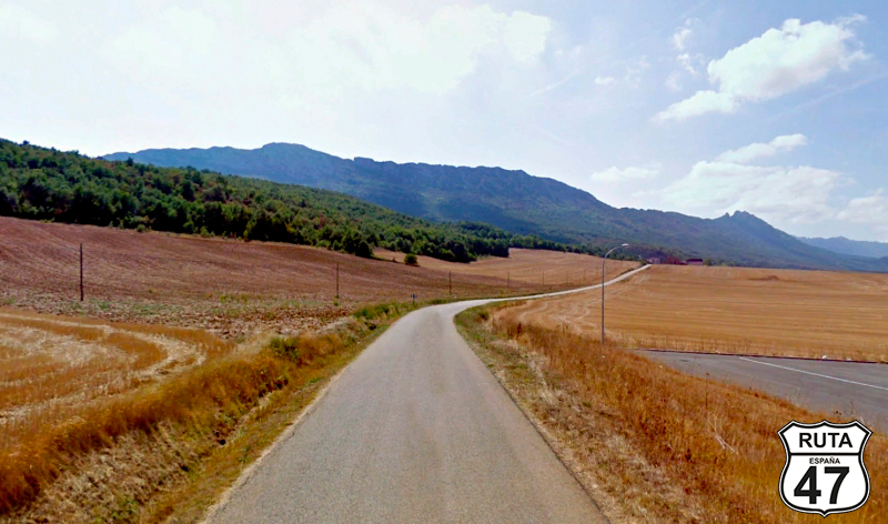
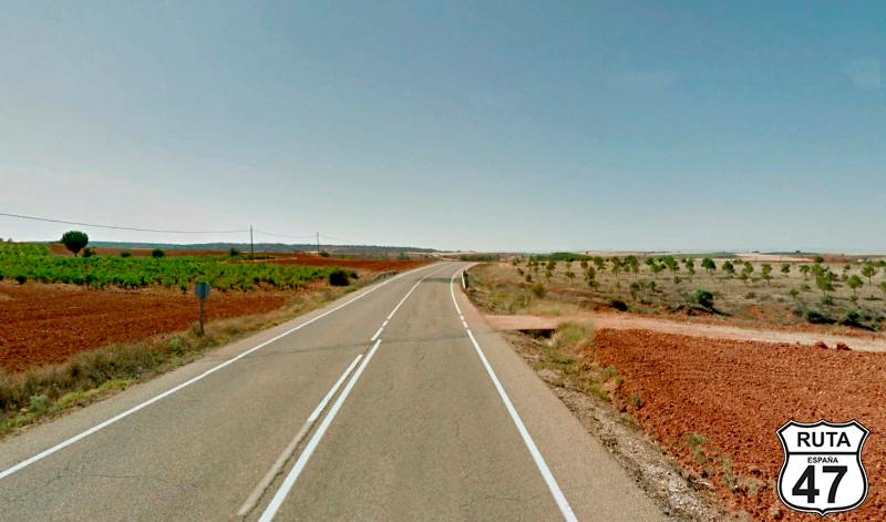
We are now traveling on the SO-100, a second-level regional road.
In the first part of this stretch, until just before reaching Osonilla, the Fuentepinilla River accompanies us, which can be guessed because a row of vegetation reveals it on the left.
Practically without curves, we leave behind Quintana Redonda and Navalcaballo to join the A-15 after the last 33 kilometers we will travel today on a regional road.
Final del tramo

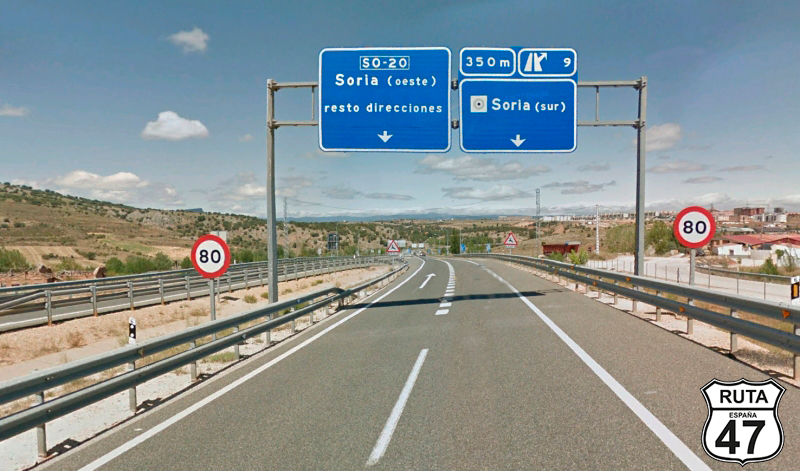
Tramo 29: A-15 - SORIA (4 Km)
The city of SORIA is already in sight as we begin this short approach stretch, which, as almost always, runs along a fast road as we approach a major city.
After just 4 km, we arrive at this beautiful city with medieval streets and Romanesque architecture.
Final del tramo