


Distance 504 Km. distributed across roads of the following types:
Carreteras Nacionales: 40.2 km. Autonómicas de 1º nivel: 161.1 km. Autonómicas de 2º nivel: 235.7 km. Autonómicas de 3º nivel:62.5 km. Asfalto o cemento sin nombre: 4.5 km.
Sections: 32
Autor: Gérard
Descripción:
We have already set foot in the soil of two of the Galician provinces. In this stage, we will do the same with the remaining two and finish in León, a major protagonist in Spanish Medieval History. All of this in the longest stage of Route 47.

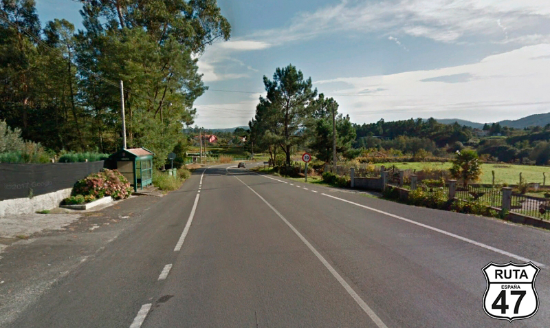
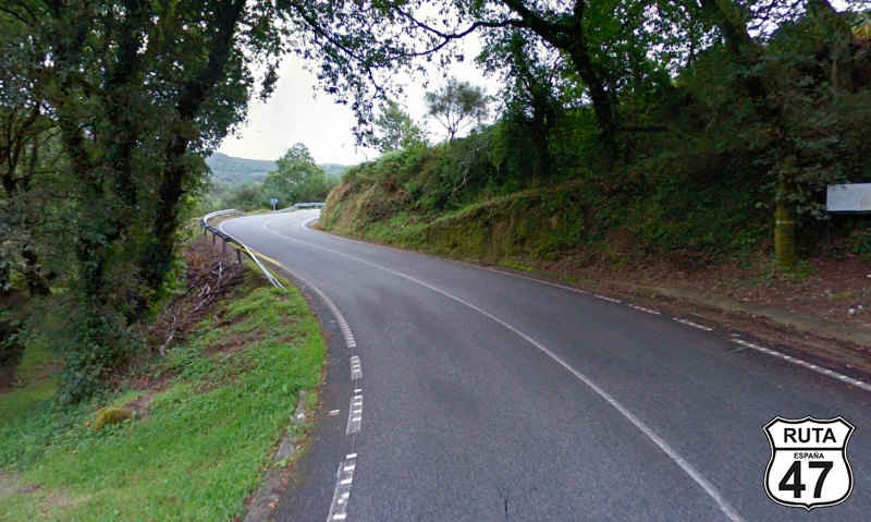
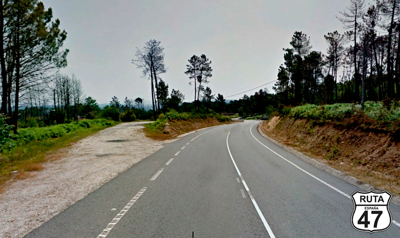
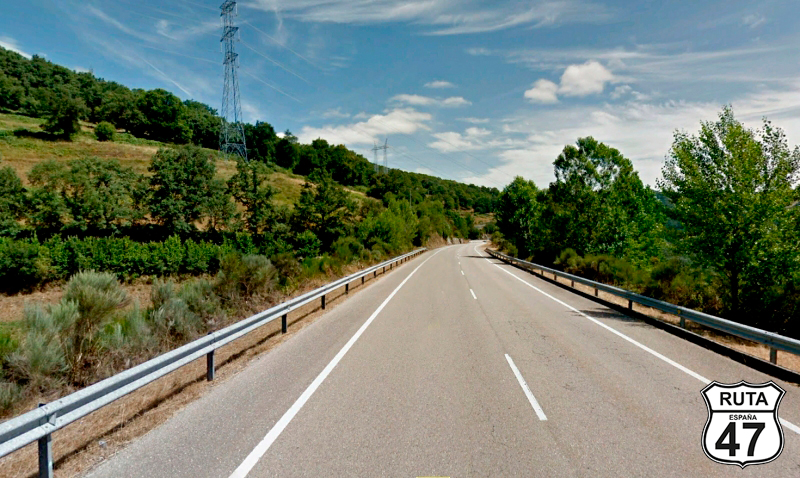
Tramo 1: SANTIAGO DE COMPOSTELA - PO-841 (17.7 Km)
After briefly visiting the Cathedral of Santiago de Compostela and taking a stroll through its streets, we head south on the AC-841.
Santiago de Compostela is a large city, and these types of cities often absorb smaller towns, as in this case with Outeiro, Os Tilos, San Sadurniño, or Montouto, after which we start riding on less populated roads.
We cross the Ulla River, at the end of which we change roads, entering the province of Pontevedra.
Final del tramo

Tramo 2: PO-841 - PO-2141 (2.1 Km)
We continue south, and after 2 km, we leave the PO-841 by turning right before entering a small urban area heading towards Cuntis.
Final del tramo

Tramo 3: PO-2141 - N-640 (7.4 Km)
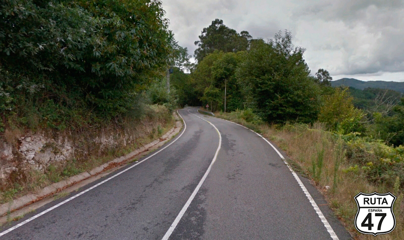
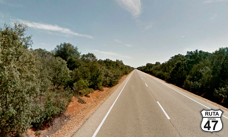
Little by little, we move away from the Galician Coast, and this is noticeable in a more winding and mountainous landscape, especially after riding the first 5 kilometers of this stretch, where we begin a curved ascent with a quite closed scenery.
Shortly before changing to the next stretch, the landscape adorned with cornfields opens up again, and at a yield sign, we merge onto the N-640 towards Caldas.
Final del tramo


Tramo 4: N-640 - Cuntis (5.5 Km)
In just 5 minutes, we reach Cuntis through this National road, and once there, we turn left at a cross-shaped intersection with a traffic light, heading towards Xinzo and Cequeril.
Final del tramo


Tramo 5: Cuntis - PO-222 (6.6 Km)
We leave behind Cuntis on the PO-220, narrower than the national road that has brought us here.
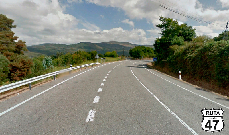
It could be said that from now on, the curves begin, extending through a long ascent of 75 km over the next stretches.
We reach Barrio Cequeril where we join the PO-222, heading towards Campolameiro.
Final del tramo

Tramo 6: PO-222 - A Lagoa (9.9 Km)
Of similar characteristics to the road in the previous stretch in terms of layout and asphalt, we now ride on the PO-222, and at the 50th kilometer of the route, we reach A Lagoa, where we will encounter a stop sign and turn left.
Final del tramo

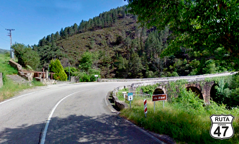
Tramo 7: A Lagoa - N-541 (6.8 Km)
We are now riding through the Concello de Campo Lamero when we cross the Lérez River over a narrow stone bridge and continue on this road until we reach a stop sign, where we will turn left towards Ourense, which is just under 80 km away.
Final del tramo

6
Tramo 8: N-541 - Vecinal (2.5 Km)
The wide road with open curves and the open landscape of this short stretch allows us to accelerate to legal limits until just after crossing a bridge, where we turn right onto a well-paved local road towards A Vila de Arriba.
Final del tramo

Tramo 9: Vecinal - Trabazo (4.5 Km)
Due to the narrowness of this local road, we proceed at a cruising speed when leaving A Vila de Arriba. Shortly after, we reach Trabazo, a small urban center belonging to the Cotobade municipality where you have to be careful not to get confused at the crossroads, as there are no signs. Here, the road divides into two. We will turn left. Right here, we can make a brief stop to admire two Granaries located in the direction we should NOT take. A few meters later, we end the stretch by making a stop to turn left.
Final del tramo
Tramo 10: Trabazo - PO-235 (2.1 Km)
We are now on the PO-232, and after 2 km, we leave behind A Igrexa and reach a T-shaped stop where we will turn left towards Augasantas through a very open landscape where the view is lost on the horizon.
Final del tramo
0
Tramo 11: PO-235 - CP-0301 (13.3 Km)
We start this medium-length section initially on a straight road until we make a right turn towards AugaSantas, continuing on an ascending and winding path where the landscape noticeably closes in.
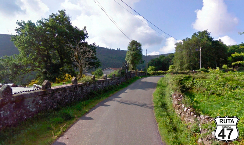
We leave behind A Ogrexario, and at the top, we reach Famelga, a beautiful and small cluster of stone houses.
A few curves later, we start another ascent to Aguasantas, descending as well between curves to the end of the section, located after crossing the Verdugo River on a stone bridge.
Final del tramo

9
Tramo 12: CP-0301 - A Lama (-0.80000000000001 Km)
A few meters into this section, we enter a roundabout where we'll continue straight.
Just before reaching A Lama, you can see on the right, about 400 meters away, the Penitentiary Center. In this locality, we make a stop to continue straight towards Pontecaldelas and Pontevedra.
After this locality, we start an ascent. Right at the sign marking the end of this locality, we finish the section.
Final del tramo

Tramo 13: A Lama - PO-225 (2 Km)
The next town we'll encounter on this slight ascent is Caritel, where we'll reach a roundabout and take the second exit by turning left.
Final del tramo


Tramo 14: PO-225 - N-120 (36.4 Km)
Finally, we begin a long stretch where we won't be paying attention to any intersections for a while, with the added bonus that this is a pure biker's route.
Always winding through curves, we start a descent over 4 km, and after crossing the Parada River, we begin an ascent up to 600 meters in altitude.
During the descent, also very winding, and just at the 20 km mark, the asphalt deteriorates a bit, although it doesn't pose any difficulties.
Before reaching the end of the stretch and merging onto the N-120 towards Ourense, we'll cross 3 rivers: the Porta Marco Stream, the Caraño River, and a little further ahead, the Tera River.
Final del tramo

Tramo 15: N-120 - A Cañiza (4 Km)
Still heading south, we now travel for only 4 km on this semi-fast road, as is this national road. When right in A Cañiza, we leave the N-120 by turning right next to a small service station.
Final del tramo
Tramo 16: A Cañiza - PO-400 (11 Km)
Still seeing some houses of A Cañiza in the rearview mirror, we pass under the A-52 to continue with an ascent, and in its corresponding descent, we reach the Miradoiro del Alto Gillade, another place where we will make a brief roadside stop to admire the landscape.
Shortly afterward, we finish the section at a roundabout next to the Frieira Reservoir. Here, we will turn right at the first exit towards Salvaterra Tui.
Final del tramo

Tramo 17: PO-400 - OU-801 (1 Km)
We are now entering the shortest section of the route, only 400 meters long.
Shortly after starting it, we cross the Filgueira viaduct, and then we will turn left towards P. Barxas on the OU-801.
Final del tramo

10

Tramo 18: OU-801 - Cortegada (3 Km)
We start this section by crossing the Miño River, which runs entirely through the autonomous community of Galicia. Shortly afterward, we reach Cortegada, finishing the section at a roundabout where we will take the second exit, to the left.
Final del tramo
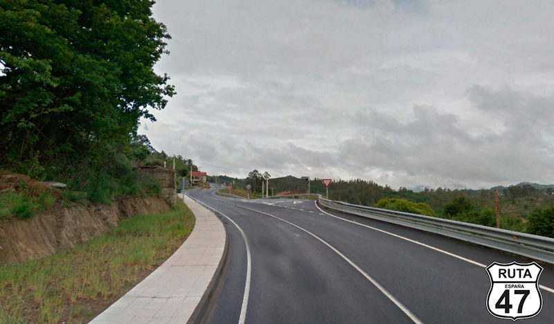
Tramo 19: Cortegada - Celanova (25 Km)
We still have three-quarters of the route left to reach our destination for the day, and yet we have already covered more than half of the sections. This means that from this point on, we will be riding longer stretches, where we can relax, knowing that the next intersection is far away.
This one, in particular, is a marvel. The excellent quality of its asphalt, combined with the abundance of open curves, allows us to press the accelerator a bit and navigate through left and right turns with smooth leans.
After 26 km of enjoyable stretch, we arrive at Celanova, a town we only touch on the side. Without entering its urban center, we turn left at a STOP.
Final del tramo
Tramo 20: Celanova - Ourense (25 Km)
We leave Celanova and head north on the OU-540 towards Ourense.
Although the A-52, which runs parallel to the road we are on, carries most of the traffic, as we approach Ourense, more houses come into view, and consequently, there is a greater number of vehicles coming and going on this wide and well-paved road.
We continue on this road until we enter the heart of this provincial capital and delve into its historic center, at least to visit its cathedral and grab a bite. Noon is approaching, and even though it's not yet time for lunch, we decide to have a snack in the vicinity of the cathedral to continue with the 300 km that await us in the afternoon.
Final del tramo

Tramo 21: Ourense - Vilariño Frío (36 Km)
The route this afternoon starts in section 21, riding on the OU-536 along 37 km of wide and fast road that we cover in 25 minutes along a constant ascent that will place us at the end of the section, in Vilariño Frío, about 1000 meters above sea level.
Once in this town, we turn left. A tourist sign indicates that in our direction is the Ponte de Vilariño Frío.
Final del tramo
Tramo 22: Vilariño Frío - Parada de Sil (10 Km)
Now we ride along this lonely road for 21 kilometers of narrow asphalt with an open landscape.
As the end of the section approaches, things get even more interesting in a very curved descent with good asphalt surrounded by trees on both sides until we reach Parada de Sil, where we finish the section.
Final del tramo
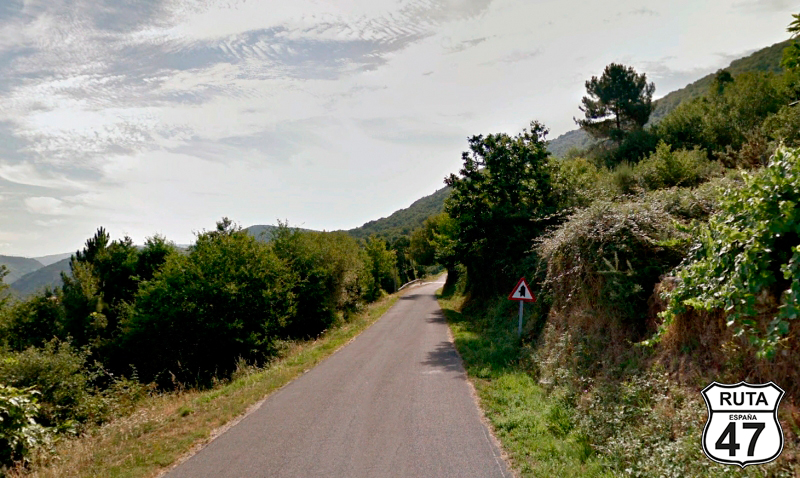
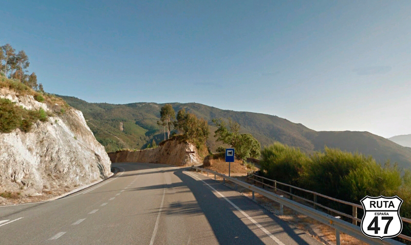
Tramo 23: Parada de Sil - OU-903 (20 Km)
Now we have 21 kilometers of great beauty ahead, where we will enjoy a winding route that runs along the mountainside with views of the Sil Canyons occasionally appearing on the left, offering us a wonderful landscape.
Between curves of narrow asphalt, we reach A Teixeira, where we begin a also winding descent, moving further away from the river. Here, we make a STOP and continue turning right towards Castro Caldelas.
Final del tramo


Tramo 24: OU-903 - Castro Caldelas (5 Km)
The layout of this third-order regional road does not disappoint. Its 5 kilometers of constant ascent lead us to Castro Caldelas, where occasionally, a clearing on the left side of the road reveals the valley on the left.
The ensemble of the town is striking, with the abundance of white windows composed of small squares that can be found in many of the houses in this city, the historical and functional center of the Tierra de Caldelas region.
Final del tramo
Tramo 25: Castro Caldelas - A Pobla de Trives (22 Km)
We leave Castro Caldelas on the OU-536, faster than the last roads we've been on. It's still a regional road, and we won't start seeing relevant curves until 10 km after its beginning.
Soon after, we approach the Encoro das Guístolas (Guístolas Reservoir), where 12 more kilometers of curves bring us to section 26 in A Pobra de Trives.
Final del tramo
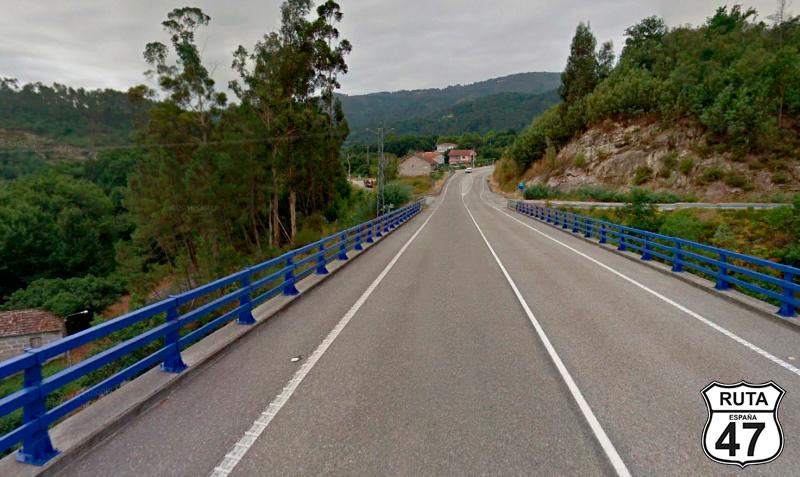
Tramo 26: A Pobla de Trives - A Rua (27 Km)
With A Pobla de Trives behind us, we start this winding section of 27 kilometers, riding along a high area with a valley on the right that we leave behind to reach Larouco.
We continue the route, beginning a slight descent that will bring us to the San Martiño Reservoir, which we will cross on a bridge where another much more beautiful and ancient bridge is visible, probably free of traffic thanks to this newer one.
Shortly after, we arrive in A Rua, where we finish this section.
Final del tramo
Tramo 27: A Rua - O Barco (11 Km)
With more than half of the stage covered, we leave A Rua on the N-120, following the course of the Santiago Reservoir.
The width of the road is slightly narrower than what we are used to on a National Road, but the layout is equally fast. Despite riding next to a reservoir, there are no tight curves, and the asphalt is well-maintained.
At kilometer 315 of the route, we turn right towards O Castro, leaving this national road.
Final del tramo

Tramo 28: O Barco - Puente de Domingo Florez (18 Km)
In the company of the Sil River, which shortly before the end of the section turns into the Pumares Reservoir, we continue along this road, also a national one, until we reach Puente de Domingo Florez, covering 18 km.
At the top of a gentle incline, we turn right towards Pombriego.
Final del tramo

Tramo 29: Puente de Domingo Florez - Truchas (63 Km)
We have just said goodbye to the Autonomous Community of Galicia and are now in the Autonomous Community of Castilla y León, specifically in the Bierzo Region, province of León, which we enter on good terms as the 64 kilometers of this section consist of a very winding but not very narrow route that will take us through valleys to Truchas, located at the end of the section.
Final del tramo
Tramo 30: Truchas - Castrocontrigo (28 Km)
Just 100 km from the end of the stage, we leave this town with a fishy name, taking the LE-126 in constant company with the Eria River.
On the way, we pass through the towns of Quintanilla de Yuso, Morla de la Valdería, and Torneros de la Valdería before reaching Castrocontrigo, where we will change roads at a STOP sign, turning left towards La Bañeza.
Final del tramo
Tramo 31: Castrocontrigo - La Bañeza (31 Km)
Eager to reach León and park the bike after this queen stage of Route 47, we now ride almost in a straight line on this green-named regional road until we reach La Bañeza, where a classic motorcycle race is held every year on one of the few urban circuits that still exist today.
It's fascinating to take a walk through the pits during the championship and go back to the 70s when these beautiful Vintage bikes raced, seeing the riders themselves tuning their machines, wrench in hand.
Final del tramo
Tramo 32: La Bañeza - LE�?N (48 Km)
We enter the last stretch of this long stage, on a road that, although regional, is quite fast, as curves are not abundant in these parts.
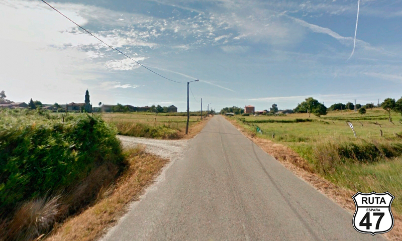
We pass through Santa María del Páramo, and at around kilometer 500, we arrive in León. Today calls for a quick shower and a visit to the Cathedral of León: a marvel known mainly for taking the "dematerialization" of Gothic art to the extreme, i.e., reducing the walls to their minimum expression to be replaced by colored stained glass, constituting one of the largest collections of medieval stained glass in the world.
Final del tramo