


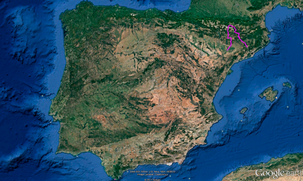
Distance 368 Km. distributed across roads of the following types:
Autopistas y autovías: 99.2 km. Carreteras Nacionales: 199 km. Autonómicas de 2º nivel: 18 km. Autonómicas de 3º nivel:51.8 km.
Sections: 10
Autor: Gérard
Descripción:
Beautiful route that takes us from Barcelona to Lleida, making a detour to the north to touch the southern part of the Catalan Pyrenees and accompanied by the Segre and La Noguera Pallaresa, which are dammed in 3 reservoirs.
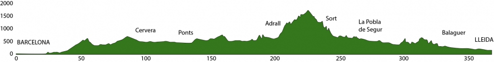
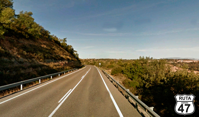
Tramo 1: BARCELONA - Cervera (99.2 Km)
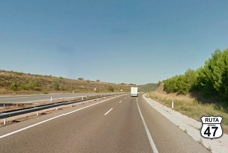
We leave Barcelona via the A2, heading to Cervera. As it's a highway, there are no particularities. After covering 99 kilometers, we exit this fast route, taking exit 520 towards Girona.
Final del tramo

521
Tramo 2: Cervera - L-313 (12.8 Km)
Indeed, our final destination for this route is just 60 km away via the A2, but it would undoubtedly be very dull to reach the end after covering 150 km on the highway. So, we leave Cervera via the L-311 and head north in search of more solitary and winding roads and landscapes that can only be seen on this type of route.
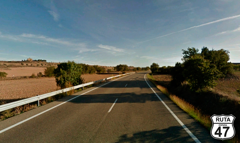
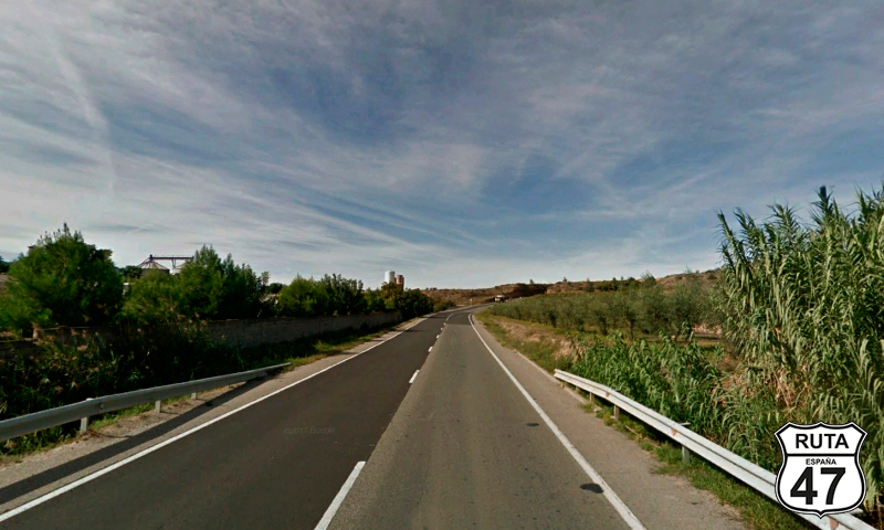
The asphalt of these almost 13 km is in perfect condition, and the landscape is open, with cultivated fields around.
Gradually, we approach Guissona to join the next stretch.
Final del tramo

14
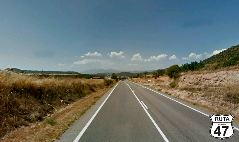
Tramo 3: L-313 - C-1412a (15 Km)
It really seems like we haven't changed roads because this stretch is very similar to the previous one. Its 15 km become a fairly fast route as there are no relevant curves, and going at the allowed speed, it will take us barely 10 minutes to reach the C-1412a, the next road we need to take.
So, when we've already covered 127 km, we reach a T-shaped intersection that we will take to the left towards Ponts and Andorra.
Final del tramo

29
Tramo 4: C-1412a - Ponts (4 Km)
After turning left, heading towards Ponts and Andorra, and covering only 4 kilometers, we reach Ponts, where you can have lunch at Xalet de Ponts with some eggs and "rostas," a specialty of the house.
The landscape remains open, but you can already see the mountains in the background that we will pass shortly.
Final del tramo
0
Tramo 5: Ponts - LV-5118 (14 Km)
We start section 5 of this beautiful route in a straight line and flat until, after 2 km, we cross the Segre River, which comes from France and is dammed in the Rialb Reservoir in these passages before flowing into the Ebro River.
After crossing the river, we begin an ascent to 650 m in height with open curves until, at kilometer 145 of the route, we leave this green-named road to join the LV-5118, yellow and narrower, at a junction towards La Torre R and Politg.
Final del tramo

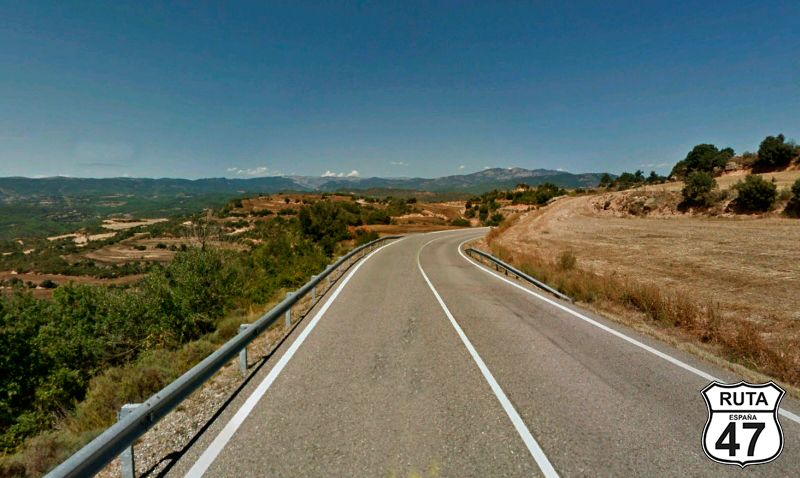
Tramo 6: LV-5118 - C-14 (24 Km)
After covering 2.5 km on this solitary and well-paved road, we cross the Rialb Reservoir again through one of its branches, and shortly after, we make a 180º turn to head north on a flat but slightly elevated surface that allows us to see the treetops on the sides of the road and a mountainous terrain in the background.
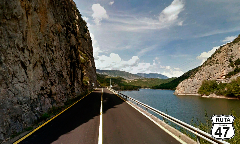
As we progress on this road, the route becomes more curved among rocky formations, and at kilometer 169 of the route, we make a stop to join the next stretch by turning left towards Coll N and La Seu U. We are now in the southern part of the Oliana Reservoir, also fed by the Segre River.
Final del tramo
Tramo 7: C-14 - Adrall (31 Km)
The first 13 km of this stretch are covered along the Oliana Reservoir, and it must be said that for traveling along a reservoir, there aren't many curves. Midway through these 13 km, there are two possibilities: the first is to go through a tunnel, and the second, our recommendation, is to turn right to continue along the reservoir, where the scenery and the route are much more suitable for motorcycles, and the rock formations along the reservoir give a special touch to the landscape of this area.
After these 13 km, we ride another set of kilometers along the Segre until shortly after passing through the town of Pla de San Tirs, and after passing kilometer marker 176, we leave the C-14, which we have been traveling on, at a roundabout located just at the beginning of the urban area of Adrall.
Final del tramo

176

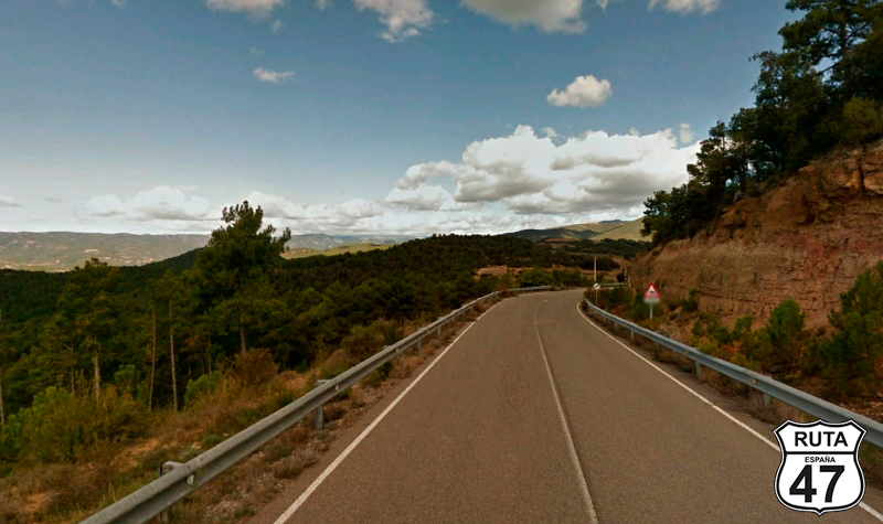
Tramo 8: Adrall - La Pobla de Segur (72 Km)
The 72 km that follow and that we will ride on the N-260 are probably the most fun of this route, or at least the first half. Despite traveling on a national road, there are many curves, and we will ascend from 600 m to beyond 1600 m. 20 km after starting this stretch, we can stop at a service area with excellent views of the Catalan Pyrenees.
Leaving the viewpoint behind, we will still ascend for 5 km, and then we begin the descent for another 20 km through the curves of the southern part of the Pyrenees.
At the end of the descent, we turn south in Sort, the capital of the Pallars Sobirá region, staying on the same road.
Until the end of the stretch, which is less winding and located in La Pobla de Segur, we will be accompanied by the La Noguera Pallaresa River.
Final del tramo
308
Tramo 9: La Pobla de Segur - Balaguer (68 Km)
In La Pobla de Segur, we start this stretch after crossing the Noguera Pallaresa River, which in this area has little flow. After the bridge where we crossed it, we turn left at a roundabout towards Tremp and Lleida.
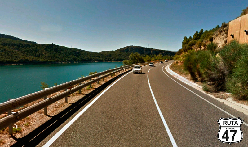
We will ride the next 9 km along the Sant Antoni Reservoir. There aren't many curves, but the good and wide asphalt of this red road can make you relax a bit in your driving to enjoy the scenery, always within the speed limits.
After Sant Antoni Reservoir, we ride a few kilometers along the same river and reach the Terradets Reservoir, smaller than the previous one. We border it with a view on the left while passing through the town of Celers.
Shortly after, and after passing through a small canyon, we reach the Camarasa Reservoir. Although we initially ride alongside it, in a few kilometers, we lose sight of it, moving away on a curved path to see it again and cross it along the reservoir wall.
From here, a fairly straight route of about 15 km takes us to Balaquer, where the stretch ends.
Final del tramo
Tramo 10: Balaguer - LLEIDA (28 Km)
28 km from our final destination and in the company of the Segre, we pass through the towns of Menàrguens, Torrelameu, and Corbins, and finally, we arrive in Lleida, the end of this beautiful route that runs between reservoirs.
Final del tramo