


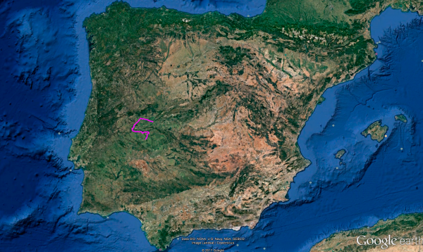
Distance 214 Km. distributed across roads of the following types:
Carreteras Nacionales: 5 km. Autonómicas de 1º nivel: 52.9 km. Autonómicas de 3º nivel:131.7 km. Asfalto o cemento sin nombre: 24.4 km.
Sections: 12
Autor: Gérard
Descripción:
Tramo 1: PLASENCIA - CC-114 (28.3 Km)
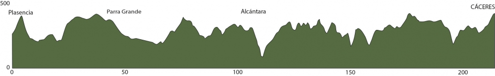
After not getting off our motorcycle for 17 days and covering over 6000 km, it's time to take a little break. So, we'll cover the 214 km of today's stage in the morning and spend the afternoon resting and sightseeing in the old part of Cáceres.
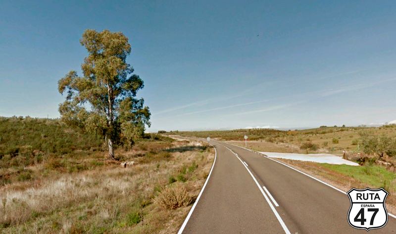
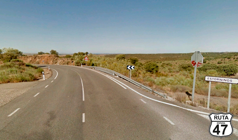
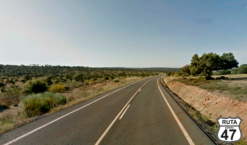
We leave Plasencia, cross the Jerte River, and head west on the EX-370. After passing through five roundabouts where we continue straight, we cross the E-803 via an overpass and continue on this road, which, despite being yellow, is wide and very well paved, to reach Montehermoso, crossing the Alagón River along the way.
At the exit of Montehermoso, we pass its industrial area and turn left at a roundabout to change roads.
Final del tramo

Tramo 2: CC-114 - Guijo de Galisteo (3.7 Km)
In this short stretch of almost 4 km, we pass through Dehesa Boyal, whose surface is occupied by rich woodland, with holm oak being the most abundant and widespread tree. It shares the spotlight with others of its kind, such as oak and cork oak.
Upon leaving the pasture, we enter Guijo de Galisteo, where we will make a stop to turn right.
Final del tramo

Tramo 3: Guijo de Galisteo - Vecinal (4.7 Km)
Continuing on yellow roads, which make up more than half of this stage, we head west after crossing the Arroyo Grande. Shortly after, we make another stop at a cross-shaped intersection near the town of Guijo de Coria, where we will continue straight.
Final del tramo

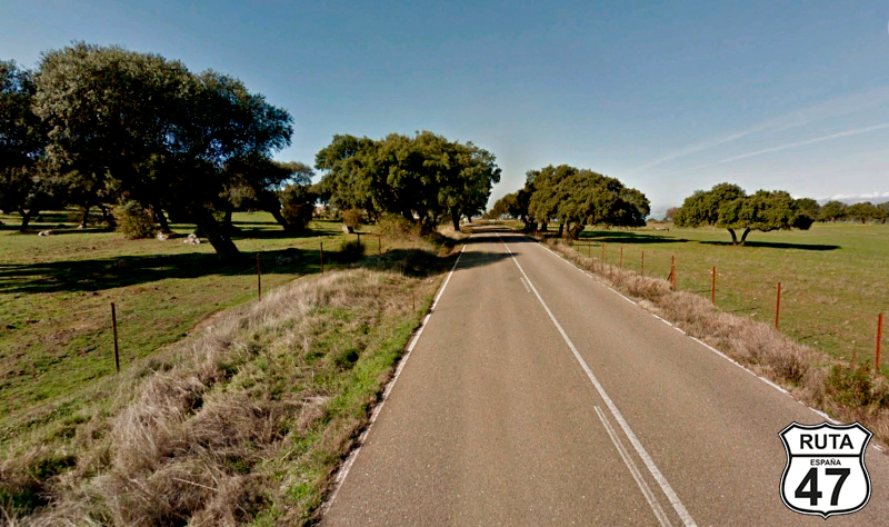
Tramo 4: Vecinal - Parra Grande (12.3 Km)
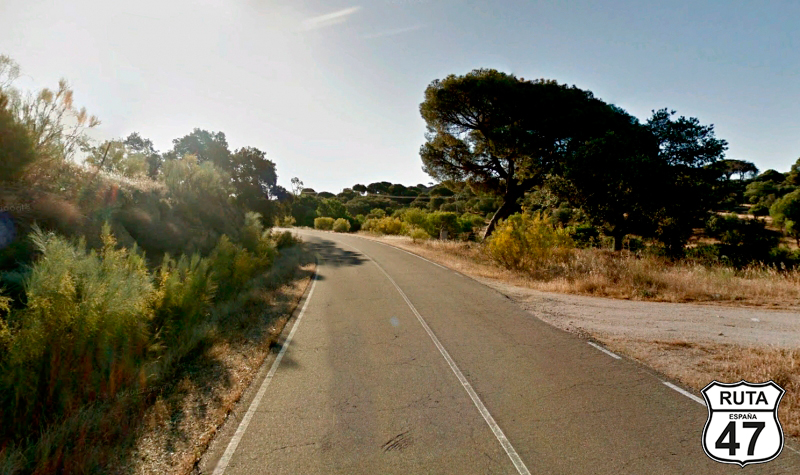
Now we're riding on a local road, narrow like all roads of this type, initially composed of two long straights and a very open landscape where you can see the mountains of the Parque Natural Da Serra Da Malcala, located on the other side of the border with Portugal, 45 km away in a straight line.
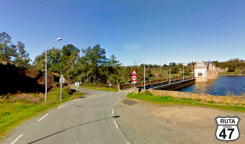
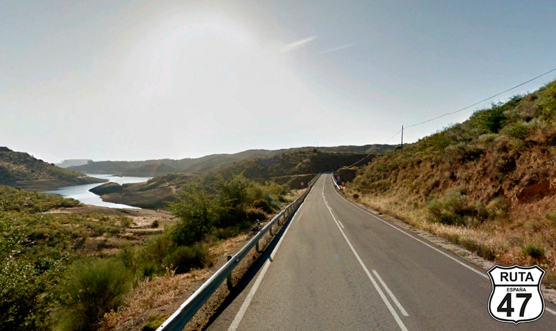
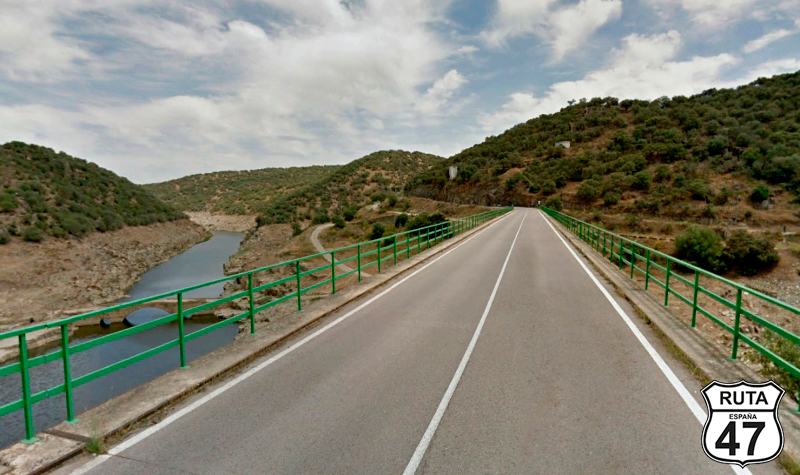
After this last long straight, we begin a stretch of curves that will bring us closer to the Borbollón Reservoir, which we cross over a narrow passage above the dam.
Two curves later, we reach a fork where we will continue to the left towards La Moheda de Gata.
Final del tramo

Tramo 5: Parra Grande - Moraleja (12.1 Km)
The previous turn takes us southwest on this local road with strange kilometer points labeled C.H.T, leading us to Moraleja, leaving the town of Moheda de Gata behind.
At the end of this local road, next to a restaurant, we must turn right and immediately make a new left turn towards Portugal.
Final del tramo

Tramo 6: Moraleja - EX-117 (17.6 Km)
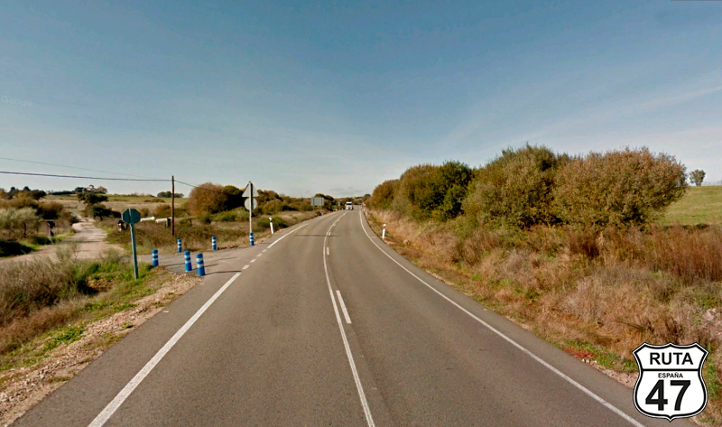
In Moraleja, we change roads and now travel on the EX-108, a first-level regional road, much wider than the local roads we've been on for the past couple of dozen kilometers.
A succession of straight stretches connected by subtle curves takes us to the end of the section located at kilometer 78 of the route, where we will change roads without even realizing it, heading towards Zarza la Mayor.
Final del tramo

Tramo 7: EX-117 - Alcántara (35.3 Km)
The EX-117, also a first-level regional road, allows us to relax along these 35 km, bringing us first to Zarza la Mayor and then to Alcántara. In Alcántara, we can make a brief stop at the tourist office to get another official stamp for La Ruta 47. We'll enter the town through the impressive Alcántara Bridge, built between the years 103 and 104 AD. It spans the Tajo River, showcasing refined technique along with aesthetics and functionality—clearly one of the finest examples of Roman civil engineering. It's worth parking the motorcycle on the other side of the bridge and walking a few meters to admire its architecture.
A kilometer and a half later, skirting the town of Alcántara, we turn left towards Mata de Alcántara.
Final del tramo

33
Tramo 8: Alcántara - Garrovillas de Alconétar (30 Km)
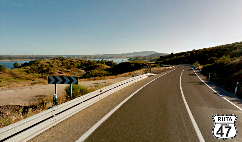
Moving further away from Portugal and heading east, we now head towards Garrovillas de Alconétar. We'll reach this town after 30 km of wide asphalt composed of long straights, and the presence of curves becomes more pronounced as we approach the Alcántara Reservoir, which we already crossed earlier from one of its ends.
In reality, we won't see the reservoir until the next stretch, as this one ends at the entrance of Garrovillas de Alconétar, where we'll turn left at a stop sign, heading towards Cáceres.
Final del tramo
Tramo 9: Garrovillas de Alconétar - N-630 (11 Km)
We leave this town skirting its edges, and soon, we start a series of open curves when we cross the Alcántara Reservoir again, this time through one of its branches. After a gentle and curved ascent, we reach a stop sign where we'll turn left towards Salamanca.
We could reach Cáceres in 20 minutes after covering 30 km, but we prefer to take a little detour. We have plenty of time, and "We're on a motorcycle."
Final del tramo
Tramo 10: N-630 - EX-373 (5 Km)
Now we approach the only stretch of the main road on this stage, traveling on the N-630, where we'll ride for only 5 km until taking a right turn towards Hinojal, just past kilometer marker 524.
Shortly before, we will have crossed the Alcántara Reservoir for the last time, which will accompany us until the turnoff that marks the beginning of the next stretch.
Final del tramo

524
Tramo 11: EX-373 - EX-390 (23 Km)
Through a slight ascent, we start this well-paved stretch, initially narrow and without horizontal signage, which widens and signals the possibility of joining the A-66.
We prefer to continue on this third-level regional road, passing by Hinojal and Talaván before reaching the end of the stretch at a yield sign, where we'll turn right towards Cáceres.
Final del tramo

23
Tramo 12: EX-390 - CÁCERES (31 Km)
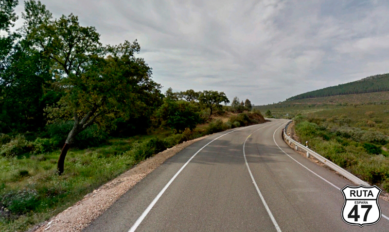
Already in the last stretch of this stage, we head towards Cáceres, using this regional road, fast throughout its route except for the middle part when we cross the Almonte River through a short section of 6 open zigzagging curves.
15 km later, we reach our destination, where tasty migas, a good cochifrito, a piece of Torta del Casar, and for dessert, some Extremaduran flowers await us. In the afternoon, a bit of tourism.
Just thinking about it makes my mouth water!
Final del tramo
