


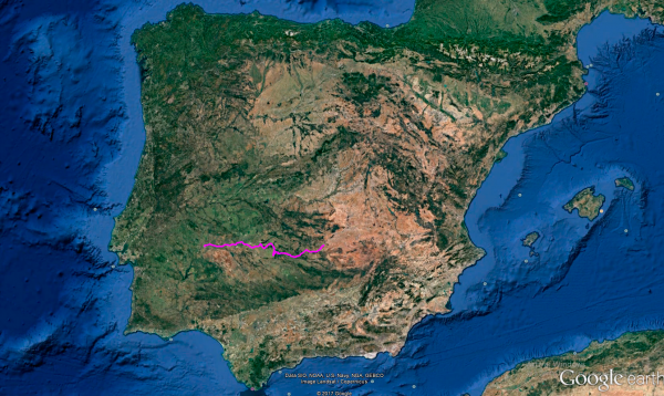
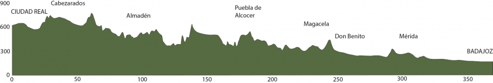
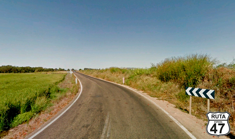
Distance 367 Km. distributed across roads of the following types:
Autopistas y autovías: 17 km. Carreteras Nacionales: 32.8 km. Autonómicas de 1º nivel: 37 km. Autonómicas de 2º nivel: 113.3 km. Autonómicas de 3º nivel:166.9 km.
Sections: 20
Autor: Gérard
Descripción:
Tramo 1: CIUDAD REAL - CM-4112 (17.8 Km)
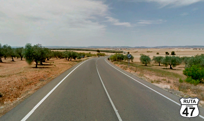
After last night's tapas-style dinner and with great regret, as always, for not being able to stay one more day to at least see all the interesting things in this provincial capital, we leave Ciudad Real, heading towards secondary roads on the N-420.
On the outskirts of the city, we reach a roundabout where we could join the A-41, but we prefer to take the first exit leading to the town of Poblete and Alarcos. Far from being a city, it is a very important archaeological park in the history of the Castilian Reconquest and the Iberian world, and it could be considered the origin of Ciudad Real. We would like to visit it, but we still have almost 400 km to go, so we decide to save it for another occasion.
Parallel to the A-41, we reach Poblete, where the junction to Alarcos is located.
We continue straight, and shortly after crossing the Jabalón River, we leave the national road at a detour towards Almadén.
Final del tramo

Tramo 2: CM-4112 - Cabezarados (23.6 Km)
Driving now on the CM-4112, wide and well-paved, we leave behind the town of Corral de Calatrava on a straight stretch. As we pass by the Laguna de la Carrizosa, a wetland formed by volcanic explosions, we approach Cabezarados, where we will change sections.
Final del tramo

Tramo 3: Cabezarados - Abenójar (6.7 Km)
Without making any turns, we leave Cabezarados on the CM-4110, similar in width and layout to the previous road. In just 4 minutes, we reach Abenójar, where at its entrance, we will take the second exit at a roundabout to enter the town.
Final del tramo
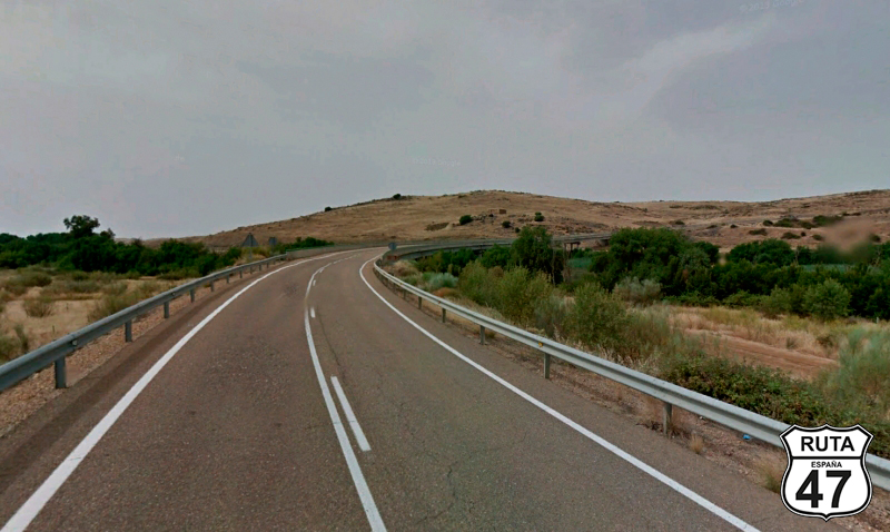
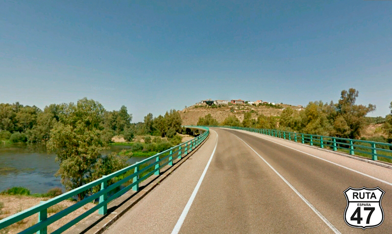
Tramo 4: Abenójar - Almadén (52.9 Km)
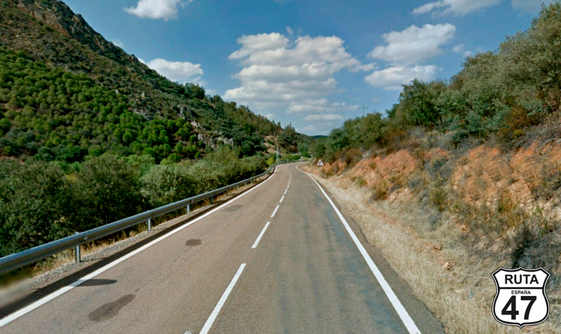
We leave behind Abenójar, exiting on the CR-424, a third-level regional road that will take us to Almadén after traveling 53 km on this long stretch where the curves begin.
Shortly after starting this section, we cross the Tirteafuera River on a narrow bridge adorned with the typical vegetation along a riverbank. After some straight stretches of about 15 km, we begin a curved and slight ascent that will take us to Almadén, passing through the towns of Fontanosas and Almadenejos.
We are now at kilometer 100 of the route, and it's a good time for a break. We take advantage of this stop to visit the Almadén Mining Park. The tour, scheduled for 10:30 and lasting two and a half hours, is a bit long, but it's worth paying the €14 to visit the museum and descend 50 m deep into an old mine.
It's already 1:00 PM when we leave Almadén, and we decide to continue a few more kilometers to grab something to eat later on. We are in Spain, and here we can snack at any time.
Final del tramo
Tramo 5: Almadén - CM-4200 (1 Km)
Leaving Almadén on the N-502, we quickly turn left to change roads heading towards Chillón and Peñaelsordo.
Final del tramo

Tramo 6: CM-4200 - EX-323 (12 Km)
4 kilometers in a straight line take us to Chillón, a town we pass through its center, to continue straight until the end of this stretch. There, we will leave the province of Ciudad Real to enter Badajoz, the second of the provinces that make up the Extremadura community.
Final del tramo

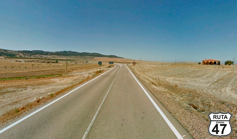
Tramo 7: EX-323 - EX-322 (33 Km)
Once again, the asphalt reveals the change of autonomous community. In this case, the pavement becomes slightly rougher, and the landscape of the Extremaduran Steppe begins to be noticeable, composed of vast plains.
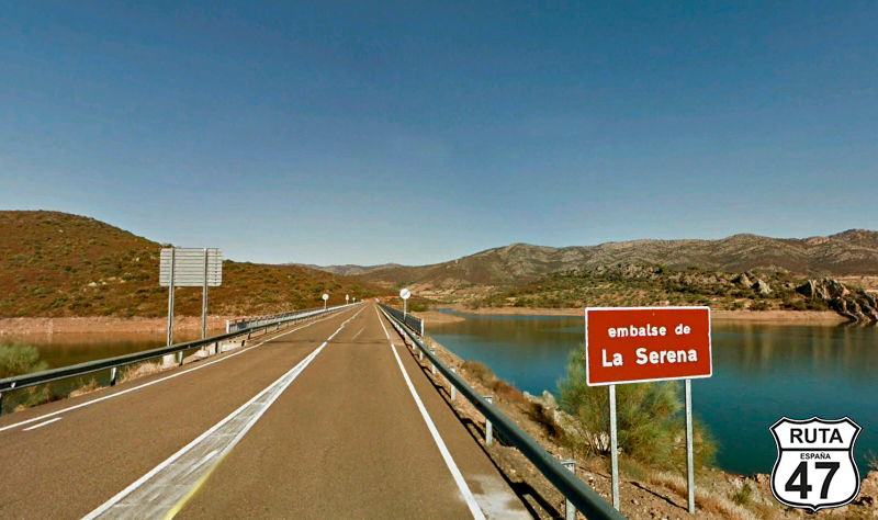
After an imperceptible descent, we begin a winding stretch that takes us to the La Serena Reservoir, which we will cross on a long bridge to continue circling it for a while until it disappears from view when we reach a junction where we will turn right, yielding the right of way towards Alcocer.
Final del tramo

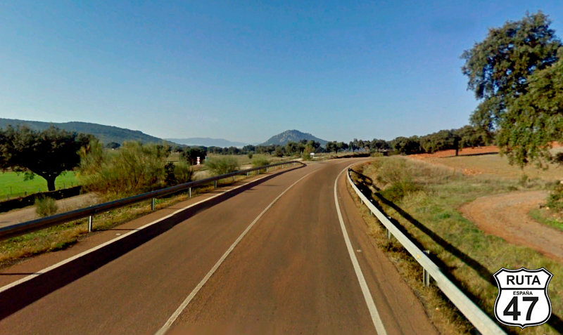
Tramo 8: EX-322 - Puebla de Alcocer (33 Km)
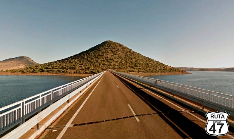
Heading towards Puebla de Alcocer, we travel north when we encounter the Alcocer Reservoir again. We cross it on a long bridge that soon leads us to cross it again through a strange passage, through which we will access Cerro Masatrigo, an islet located in the middle of the reservoir. We will circle it on its right side to cross the reservoir once again. As a curiosity, we have surrounded the entire hill, covering its 2.5 km to admire this landscape in 360º.
Shortly afterward, amid curves, we arrive at Puebla de Alcocer, where we will turn left at a junction where a characteristic silo is visible in the background.
We have already covered 180 km of the stage, and taking advantage of having completed half of the journey and that Puebla de Alcocer is a good place to grab something to eat, we will use the stop to visit its castle.
Final del tramo

Tramo 9: Puebla de Alcocer - BA-634 (22 Km)
With a cheerful stomach, we leave Puebla de Alcocer on this Extremaduran regional road, which will take us to a right turn towards Orellana la Vieja along 22 km, during which we will cross again the La Serena Reservoir and later the Zujar Reservoir.
Final del tramo

Tramo 10: BA-634 - EX-115 (14 Km)
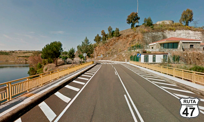
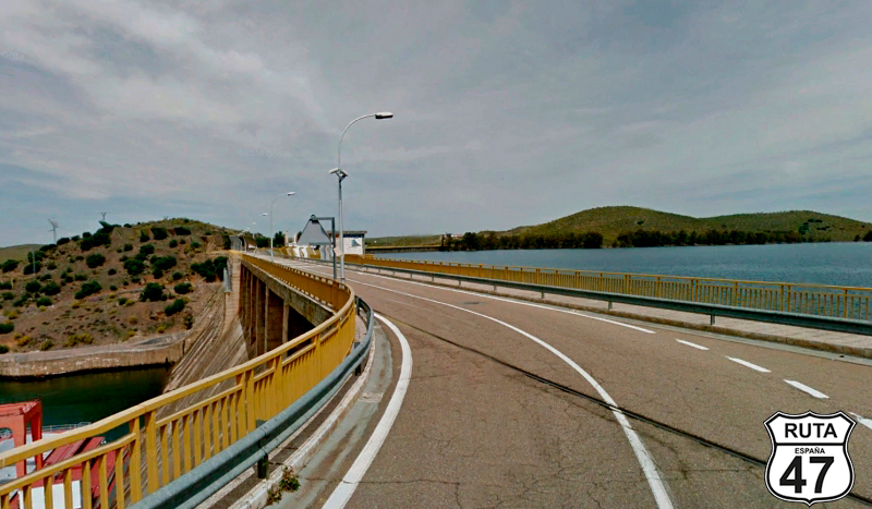
The curves of this stretch appear when, after covering 3 km, we cross the Zújar Reservoir again over the wall of its dam.
Shortly after, we turn left, staying on this road towards Orellana la Vieja. At kilometer 216 of the route, we turn left towards Campanario at a roundabout located just before the dam of the Orellana Reservoir.
Final del tramo

Tramo 11: EX-115 - EX-348 (9 Km)
A series of open curves on this Extremaduran regional route lead us to cross the Zújar River.
After kilometer 28, we will turn right towards La Coronada.
Final del tramo

28
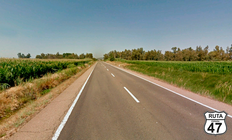
Tramo 12: EX-348 - Magacela (18 Km)
We now begin 18 km that will bring us to Magacela, on a fairly straight and well-paved asphalt, where the purely Extremaduran landscape is already a reality.
Halfway through, we enter the town of La Coronada, from where we exit on its west side, crossing the EX-104 at a cross-shaped junction to shortly reach Magacela. There, we will turn right towards La Haba, not without first visiting the fantastic Dolmen located by the roadside, from which the Castle of Magacela can be seen before reaching the town. We cannot resist stopping at this wonder that appears so quickly and is so accessible.
Final del tramo
Tramo 13: Magacela - La Haba (8 Km)
We now begin a circular ascent that skirts the town of Magacela, and occasionally its castle peeks out between houses and existing vegetation.
After 6.5 km straight, we cross the EX-346 under a bridge, a road we will join in the next stretch at a roundabout, where we turn left towards Don Benito, having passed through the town of La Haba.
Final del tramo

Tramo 14: La Haba - Don Benito (8 Km)
Just over 100 km from the end of the stage, we now head towards Don Benito, an important town in Badajoz, which we will skirt on its southern side to reach a roundabout where we will take the third exit towards Medellín and Santa Amalia.
Final del tramo
Tramo 15: Don Benito - Santa Amalia (13 Km)
A straight stretch of almost 6 km brings us near Medellín, where we make another mandatory stop to admire its Castle and Roman Theater in a lightning visit.
Returning to the EX-306, we cross the Guadiana River in this town and continue the route until we reach a stop near Santa Amalia, where we turn left to join the N-430 towards Badajoz.
Final del tramo

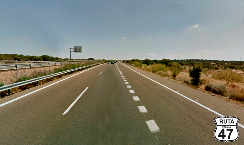
Tramo 16: Santa Amalia - A-5 (10 Km)
Leaving behind the secondary roads that brought us here, we now move along this straight National road that will merge us onto the A-5 at kilometer 282 of the route after having traveled on it for 10 km.
Final del tramo
Tramo 17: A-5 - N-V (17 Km)
Advancing now on the A-5, we reach exit 333 after 17 km, which will take us to Mérida as we join the N-V.
Final del tramo
Tramo 18: N-V - Merida (4 Km)
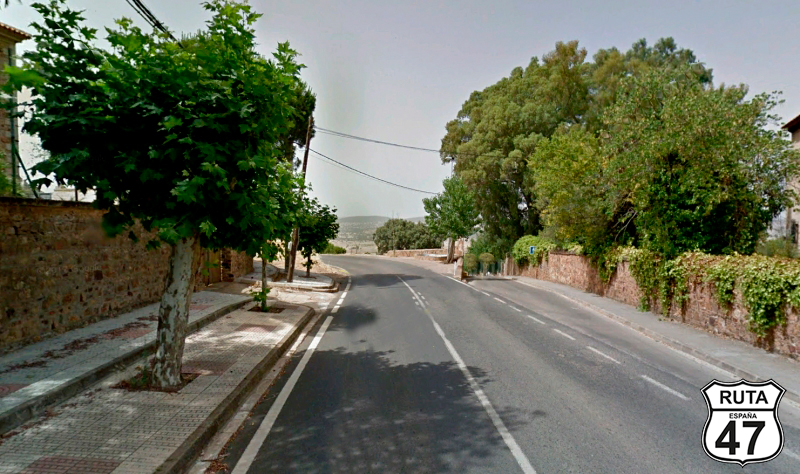
What can be said about Mérida, the town we access after only 5 km on this National road? Firstly, it's a city that can't be seen in a day, but we'll at least stop here for a couple of hours to soak in the beauty of this city that tells us so much about Roman civilization and, by the way, is the capital of Extremadura.
We won't have time to explore this city in depth, but we won't leave without at least seeing the theater and amphitheater.
Final del tramo
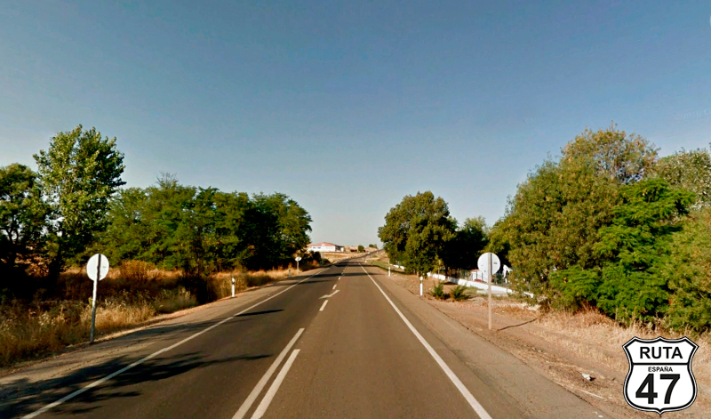
Tramo 19: Merida - EX-100 (58 Km)
Depending on how much time you've spent in the historic Mérida, you can take the A5 to reach Badajoz in 20 minutes. Although a bit tight on time, we've opted for the alternative route: EX-209.
So, heading west, we take this regional green road that, in a generally straight stretch with few curves, takes us through the towns of La Garrobilla, Montijo, Pueblonuevo del Guadiana, and Gévora del Caudillo, where we end the stretch at a small roundabout that gives access to a larger one. There, we turn left to join the EX-100 towards Badajoz.
Final del tramo

Tramo 20: EX-100 - BADAJOZ (6 Km)
Advancing now on this first-level regional road with highway-grade asphalt, we arrive in Badajoz where the Guadiana River welcomes us.
As almost always, after grabbing a bite for dinner, we'll look for the cathedral and start a stroll through its historic part from there.
Final del tramo