


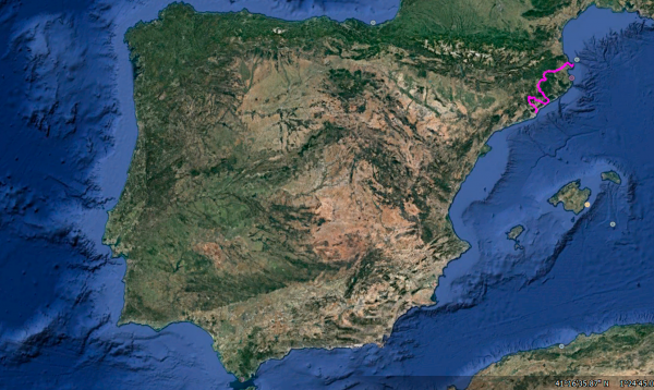
Distance 359 Km. distributed across roads of the following types:
Autopistas y autovías: 41.2 km. Carreteras Nacionales: 94.7 km. Autonómicas de 2º nivel: 71.8 km. Autonómicas de 3º nivel:142.5 km. Asfalto o cemento sin nombre: 8.8 km.
Sections: 22
Autor: Gérard
Descripción:
Beautiful route that will take us from Cap de Creus, the easternmost point of the Iberian Peninsula located in the province of Girona, to Barcelona, crossing 4 natural parks and touching some of the Mediterranean coast.
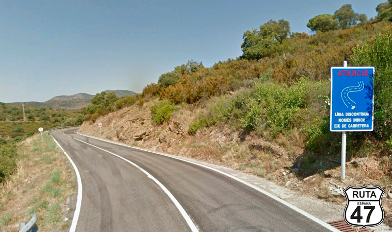
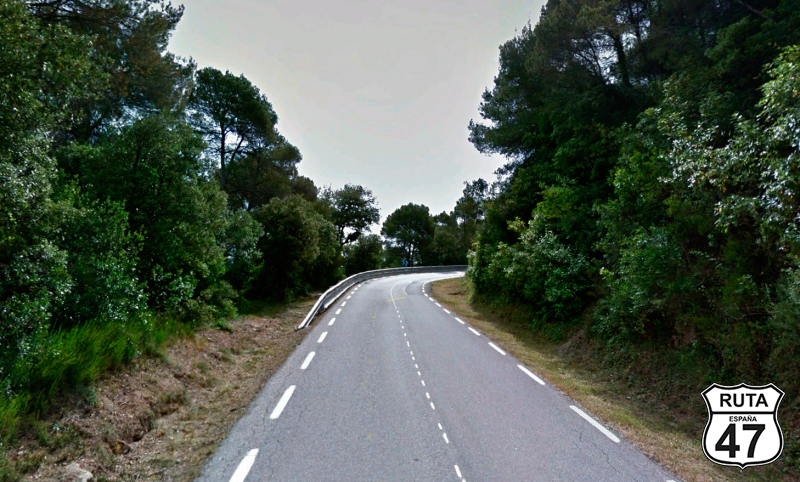
Tramo 1: El Cap de Creus - Cadaqués (8.8 Km)
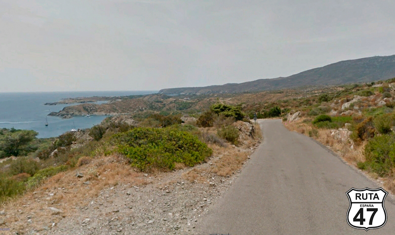
We begin this beautiful journey from the place where the sun rises: Cap de Creus, a magical place of great beauty, where the tramontana wind has shaped it with whimsical erosion forms.
So, after spending the night at the small and charming Hostal Marina, located by the sea in Cadaqués and still in the dark, I start my motorcycle to head to Cap de Creus through a 7.5 km long local road. Once there, I reset the trip meter of my motorcycle.
The sun rises on the horizon over the sea, and today I have the certainty of being one of the first inhabitants of these lands to receive a ray of sunlight on my face. For me, it's a spectacle.
After a coffee at Cap de Creus, I start my motorcycle and head back to Cadaqués on the same road that brought me here. At first, the sea is on the right, and after a curve, it changes position and accompanies us on the left. I'm riding slowly, with the helmet open: the road has good asphalt but is narrow, and I want to enjoy this scenic spectacle that I'll take a while to revisit.
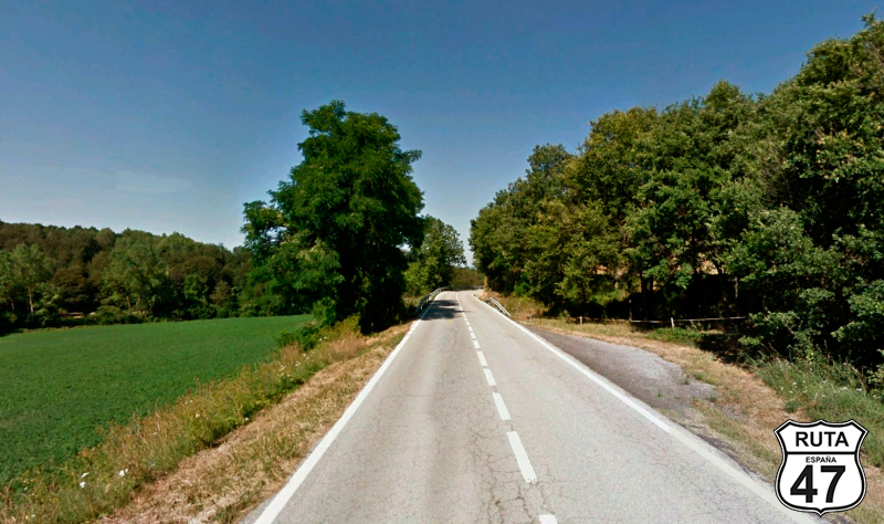
We pass through Cadaqués and leave this beautiful village via the GI-613.
Final del tramo

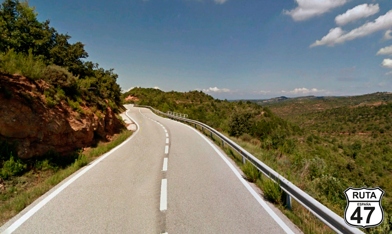
Tramo 2: Cadaqués - GI-613 (3.9 Km)
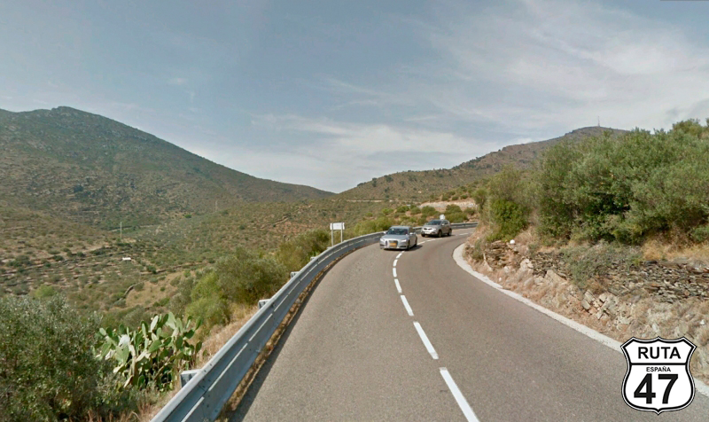
Heading northwest, we reach the end of this stretch through the Cap de Creus Natural Park, traveling on a well-paved surface, in a constant and gentle ascent, with a continuous zigzag and the occasional cactus adorning the roadside. At kilometer 12.7 of the route, we arrive at a roundabout that we will turn left.
Final del tramo

12
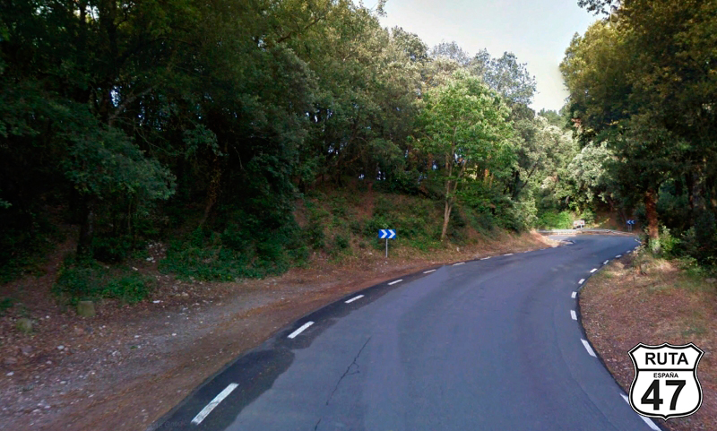
Tramo 3: GI-613 - El Port de la Selva (7.6 Km)
After the 12 km of subtle ascent from the previous stretch, we are about to make a similar descent that will take us back to sea level, specifically to El Port de la Selva, another charming place where it's worth taking a swim, especially if you're doing this route in the summer.
Final del tramo
7
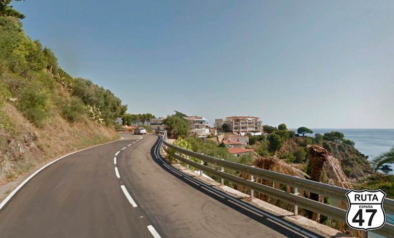
Tramo 4: El Port de la Selva - N-260 (8 Km)
We leave El Port de la Selva and head practically flat towards Llançà, following the coastline on good asphalt with several zigzag curves. This is a slow section as there is quite a bit of traffic, so our recommendation is to relax and enjoy the sea on our right side, which we will no longer see at the end of this stretch.
So, after covering almost 30 km of the route, we reach a junction where we will turn left to join a faster road.
Final del tramo

8
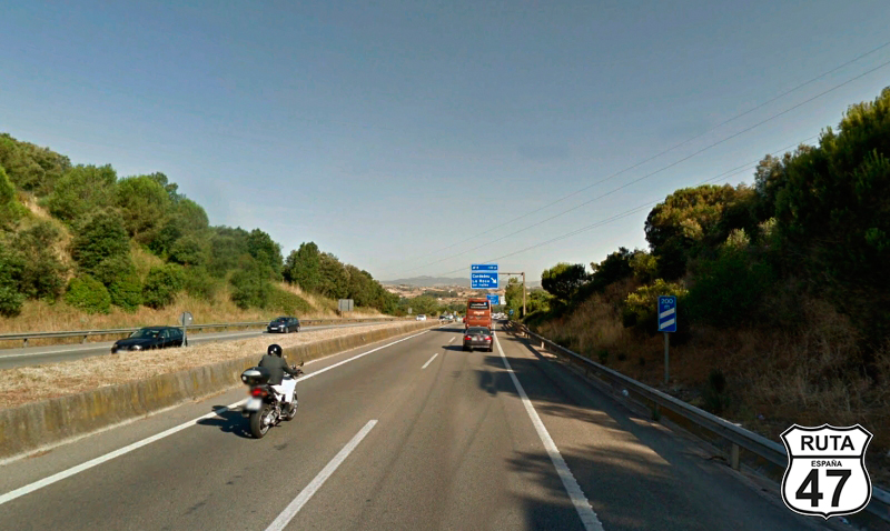
Tramo 5: N-260 - A-26 (43.7 Km)
Still heading west, but this time a bit to the south, we continue on this National road: the N-260, faster than the previous ones. At the beginning, we'll navigate some curves, but shortly after the start of the stretch, we leave behind the Cap de Creus Natural Park, and the route becomes much straighter. So, the 43 km of this National road will take us about half an hour as we pass through urban areas like Figueres or Navata, where we'll need to reduce speed to 50 km/h.
Final del tramo

61
Tramo 6: A-26 - Olot (25.2 Km)
The N-260 turns into a highway, changing its designation to A-26, marked by blue milestones. This type of road is not our favorite at Motorutas since they are rather straight and dull.
The monotony of the 25 km of this stretch is disturbed by the colors of the Natural Park of the Garrotxa Volcanic Zone, which we traverse through the middle, revealing a mosaic of shades ranging from dark green to tender and bright green, from the black and crimson of volcanic soil to the fiery red of white maples, especially if you take this route in autumn.
We reach Olot, located in the heart of the Natural Park, and conclude this fast stretch here.
Final del tramo
86
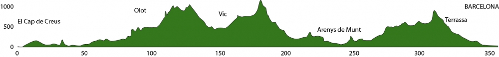
Tramo 7: Olot - Vic (56.8 Km)
We leave Olot on the C-153 in the company of the Garrotxa Volcanic Zone Natural Park, and after covering 8 km, mostly straight, we begin to ascend on a winding path with abundant zigzag curves that take us to the 1000 m altitude of Coll de Condreu in just 10 km. With 154 km traveled, this is a good place to take a break, stretch your legs, and have something to eat at the Restaurant Coll de Condreu. They have a very pleasant terrace, and the patatas bravas are quite good.
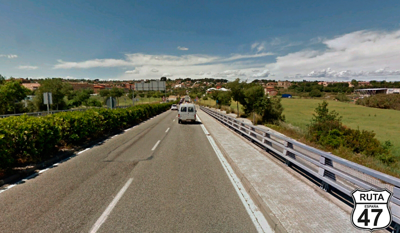
Once at the top, we travel another 15 km on flat terrain but with curves, surrounded by abundant trees on both sides of the road. Another 12 km of curves bring us down to 500 meters altitude, where a long straight road takes us to Roda de Ter. In this town, we cross the Ter River on a bridge and continue straight until we reach Vic, the end of this mountainous stretch.
Final del tramo
0
Tramo 8: Vic - BV-5303 (13 Km)
Without entering Vic, we continue on the B-520, through a straight and flat path with cultivated fields on both sides of the asphalt.
Shortly after passing through the town of Taradell, we start a stretch of curves with a slight ascent, ending at a T-shaped intersection where we turn right towards Seva and Tona.
We are right on the edge of the Montseny Natural Park.
Final del tramo

Tramo 9: BV-5303 - Seva (7 Km)
We now head towards Seva on this short stretch of only 6 km, skirting the Montseny Natural Park for a while on well-maintained asphalt that runs through a large grove.
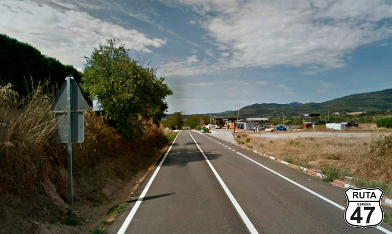
Around kilometer 170 of the route, we momentarily leave the Natural Park and descend towards Seva, reaching it with a descent adorned by an open landscape.
Final del tramo
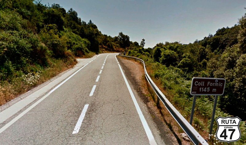
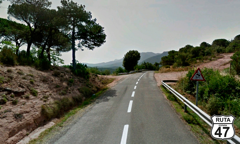
Tramo 10: Seva - C-35 (35 Km)
We leave Seva behind, heading south on the BV-5301, and begin the ascent to Coll de Formic, located at almost 1145 m altitude, which we reach after covering 9 km from Seva.
We continue south, crossing the Montseny Natural Park amid mountain curves, descending along a slope that will take us down to 200 m in altitude over 25 km until we reach Sta. Margarida, where the landscape becomes more open.
6 km later, after passing through Sta. María de Palautordera, we reach the end of the stretch at a stop sign, where we will turn left towards St. Celoni.
Final del tramo

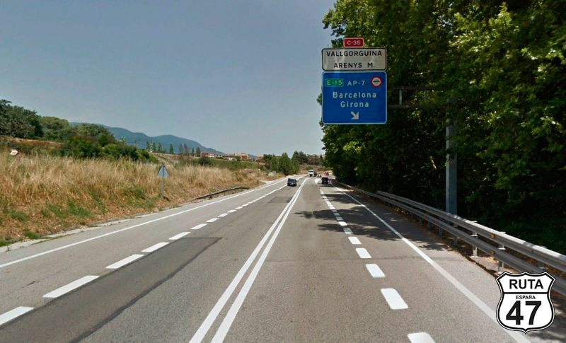
Tramo 11: C-35 - C-61 (1 Km)
We now approach the shortest stretch of the route, just 1 km along the C-35, wide and well-paved. At the end, we leave this road shortly after passing kilometer marker 54, and a white sign indicating the direction to Vallgorguina and Arenys M, placed above another blue sign indicating the direction to Barcelona and Girona by highway.
Final del tramo

54
Tramo 12: C-61 - Arenys de Munt (12 Km)
Having already surpassed the midpoint of the route, we begin this stretch by entering a roundabout where we need to continue straight on the C-61 towards Vallgorguina and Arenys de Mar, bypassing the highway that would take us to Barcelona. We cross an overpass with the highway below and continue the route towards the coast along the side of Parc del MontNegre-Corredor.
We pass by Camp Puigdemir, Collsacreu, and finally reach Arenys de Munt, where this 12 km stretch comes to an end.
Final del tramo
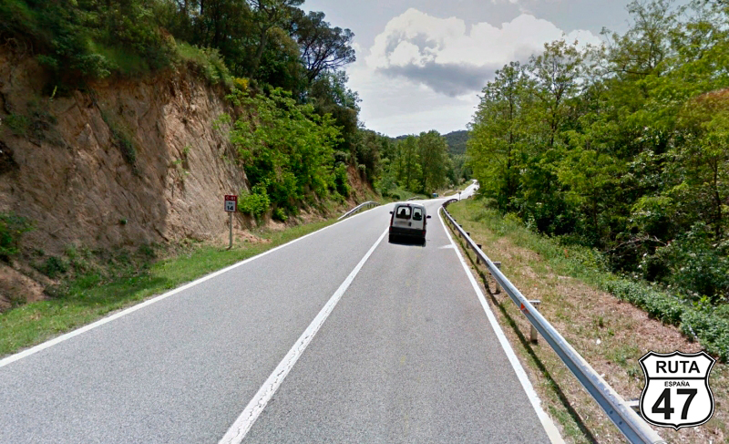
Tramo 13: Arenys de Munt - C-32 (17 Km)
he smell of the coast is already in the air, and although the altitude is very low, we descend to sea level surrounded by vegetation along the BV-5031, a narrow and well-paved road.
This stretch, while not very long, is very beautiful as there are a few kilometers of zigzag curves before reaching Sant Andreu de Navalleres, passing through Els Tres Turons and Sant Vicenç de Montalt.
At the end of this stretch, the Mediterranean coast is already visible, just 2 km away in a straight line.
Final del tramo

Tramo 14: C-32 - C-60 (4 Km)
We join the C-32 to cover only the 4 km that circumvent Mataró, running parallel to the coast. At the end, we take exit 99 towards Argentona and Granollers.
CAUTION on this stretch as it is a radar zone, and it is crucial to strictly adhere to the speed limit.
Final del tramo
99
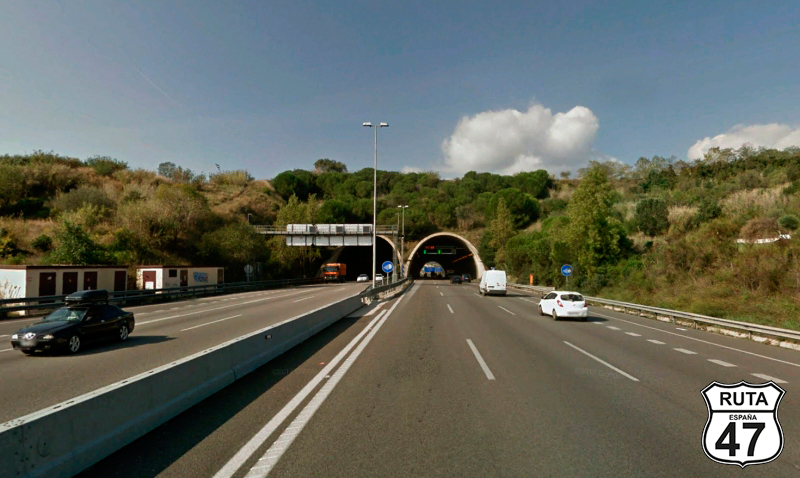
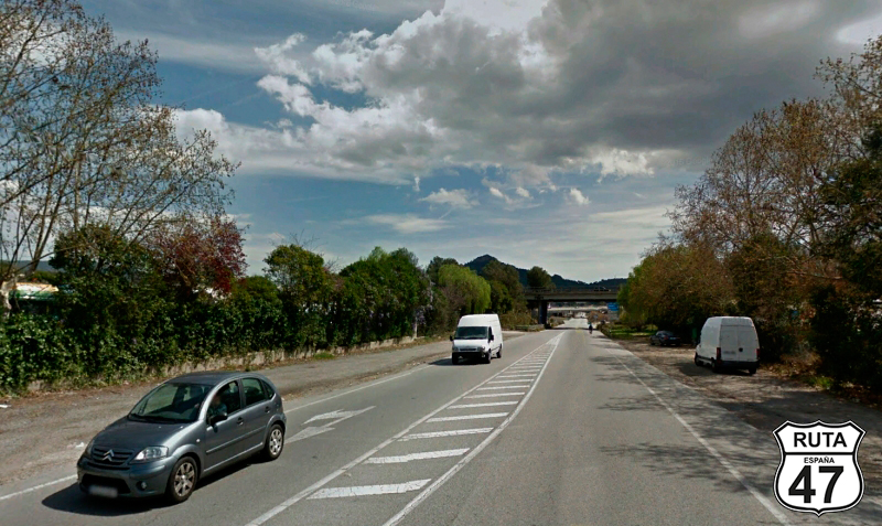
Tramo 15: C-60 - C-352 (12 Km)
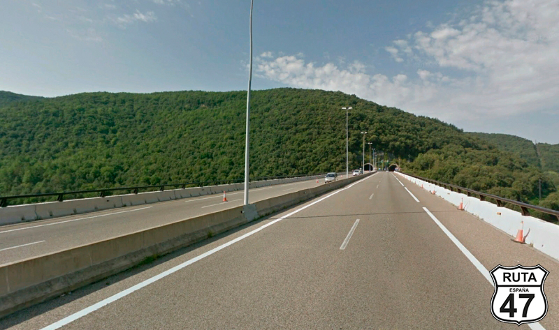
After joining the C-60, also a highway, we travel the 12 km of this stretch heading north in search of secondary roads that are more suitable for motorcycles than this two-lane highway that runs straight almost throughout its route.
Approximately halfway, we pass through a tunnel of 2.4 km in length that crosses a mountainous area, and shortly after, we reach Granollers.
Final del tramo

Tramo 16: C-352 - C-1415b (6 Km)
Granollers is a large city, and although we could cross it through the center, to save time, we decide to skirt it on the C-352, a wide and fast two-lane road. However, it's important to remember that being a bypass, the speed limit is 100 km/h, and sometimes 50 km/h.
In the first kilometers, we head north to turn west while passing through a short tunnel, and later we cross the Congost River on a viaduct. Next, we pass through three roundabouts where we should continue straight, and finally, we reach the end of this stretch at another large roundabout, where we should take the second exit towards Caldes de M. on the C-1415b.
Final del tramo

Tramo 17: C-1415b - Caldes de Montbui (9 Km)
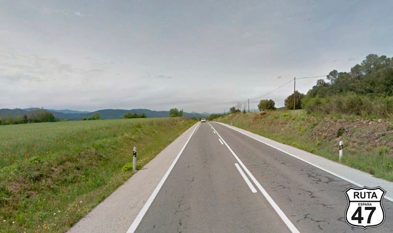
We leave behind the fast roads and get ready to travel on this second-level regional road, with perfectly paved asphalt and lacking curves. At the beginning, there are a few curves, but afterward, the route is quite straight.
Nine kilometers separate Granollers from Caldes de Montbui, where this stretch ends. In the background, you can see some mountains that we will pass later.
We arrive at Caldes de Montbui, and without entering the town, we reach a roundabout where we must take the first exit.
Final del tramo
Tramo 18: Caldes de Montbui - Sant Feliu de Codines (8 Km)
Approaching the 300-kilometer mark of the route, we could reach our destination in a few more kilometers, but we decide to continue to enjoy the twists and turns of the road. So, we start this stretch by turning north again on the C-59, in a rather straight section, knowing that the best is yet to come.
Thus, we reach Sant Feliu de Codines, a town where we venture a bit before heading west towards Sant Llorenç Savall, which is 16 km away.
Final del tramo
16
Tramo 19: Sant Feliu de Codines - Sant Llorenç Savall (16 Km)
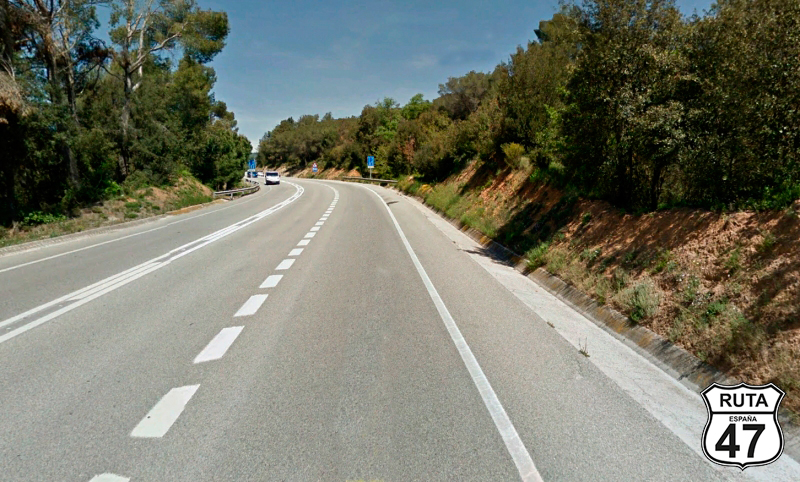
We are in the Vallès Occidental region, and the next two stretches are really enjoyable. The first kilometers of this section, until reaching Gallifa, consist of countless curves that wind through a mountainous area, although we only gain 100 meters in elevation.
After passing Gallifa, the curves continue, although less steep, they are still a lot of fun.
Finally, we reach the end of the stretch in Sant Llorenç Savall.
Final del tramo
Tramo 20: Sant Llorenç Savall - BV-1221 (12 Km)
The shortest route from this point would take us to Barcelona to the south in just 40 km, but we decide to head north to take a small detour and later pass through the Sant Llorenç del Munt i l'Obac Natural Park.
So, we leave Sant Llorenç Savall heading north on the B-124 and start ascending alongside the Riu Ripoll, which originates very close to our route.
The road in this stretch is very well paved, and the landscape is mountainous on the left and a bit more open on the right.
Between curves, we reach the end of the stretch at a T-shaped intersection, where we'll have to turn left towards Mura and Terrassa.
Final del tramo
Tramo 21: BV-1221 - Terrassa (23 Km)
At kilometer 306 of the route, we head south to begin the ascent of Coll d'Estenalles, located in the heart of the Sant Llorenç del Munt i l'Obac Natural Park, which we cross through its center. Be very careful because this is one of the reference roads in Catalan cycling, and it's very likely that we'll come across more than one cyclist.
After reaching the summit of Coll d'Estenalles at 870 meters above sea level and having tackled quite a few curves, at least three hairpin turns (180º), we begin the descent with just as many curves, though less steep. The landscape is spectacular, adorned with rock formations, and the road is very well paved, allowing us to enjoy these last kilometers of the route.
Having covered the 23 km of this winding BV-1221, a third-level regional road, we conclude the stretch by reaching Terrassa.
Final del tramo
Tramo 22: Terrassa - BARCELONA (30 Km)
After joining the N-150 in the south of Terrassa, we head to our final destination of the day: BARCELONA, on this national road with heavy traffic, as it connects three major urban centers such as Terrassa, Sabadell, and Barcelona.
So, with a lot of patience, we cover these last 30 km, preparing to finish in this beautiful city where there is undoubtedly a lot to see. It's no wonder it's one of the top five most visited cities in Europe.
A refreshing shower at the charming Sercotel Amister, a visit to the Sagrada Familia, and a burger at the 99% Moto Bar, pure biker and rocker atmosphere.
Final del tramo
Comentarios sobre esta etapa
 Jose 07/04/2023
 Precioso comienzo para una primera etapa con muchas curvas, nos han tratado muy bien en todos los sitios.
Cadaqués es un pueblo con mucho encanto, y terminamos con otro lugar con no menos encanto, en el 99% motor bar.
Esperemos que la segunda etapa de mañana sea cuando menos igual de bonita, aunque ya estamos doloridos por el asiento de la moto.😜