


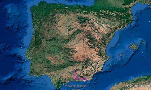
Distance 407 Km. distributed across roads of the following types:
Autopistas y autovías: 54 km. Carreteras Nacionales: 20.5 km. Autonómicas de 2º nivel: 185.8 km. Autonómicas de 3º nivel:146.7 km.
Sections: 22
Autor: Gérard
Descripción:
Tramo 1: JAÃN - JV-2262 (37.7 Km)
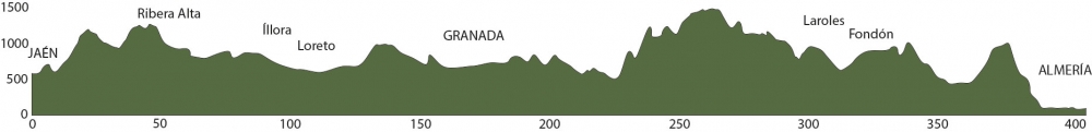
With almost 10,000 km covered and about to conclude Route 47, we embark on this final stage of 407 km to reach Almería, passing through the beautiful Granada, where we will visit its famous Alhambra.
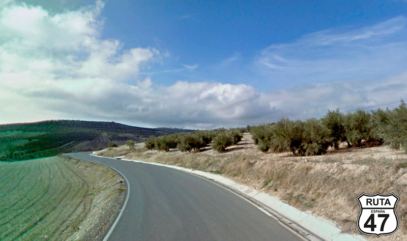
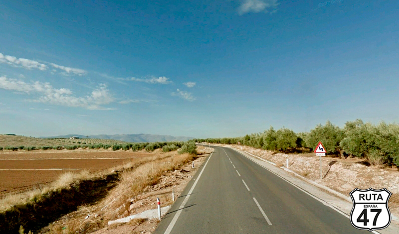
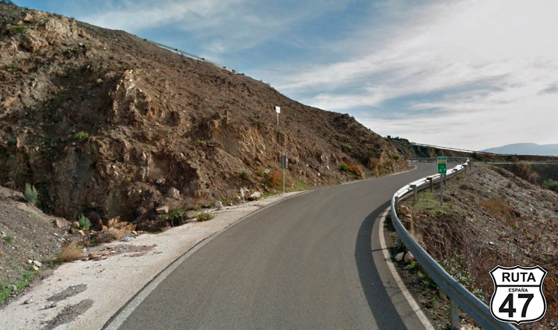
This is a long and winding stage, so without wasting time, and after a hearty breakfast, we leave the hotel early to exit Jaén on the second-level regional road A-6050 heading south.
We progress along the foothills of Peña de Jaén and Mount Jabalcuz, leaving behind the town of the same name when we reach Los Villares.
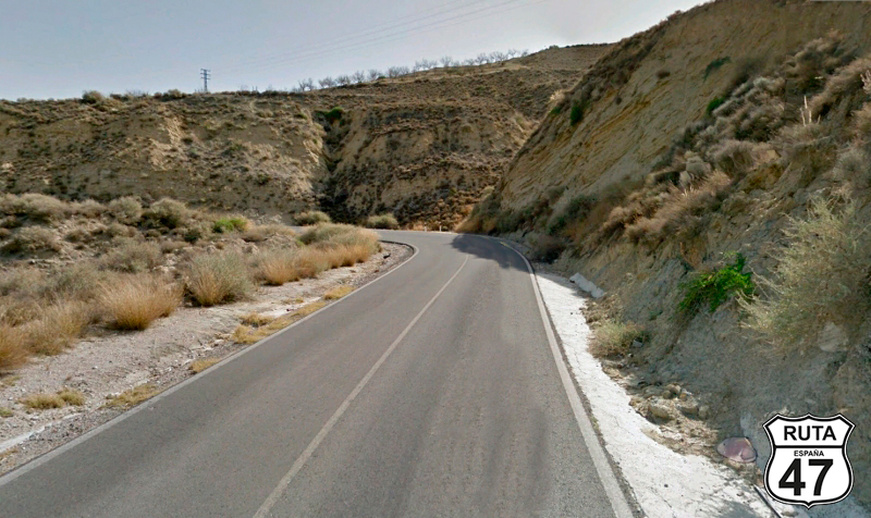
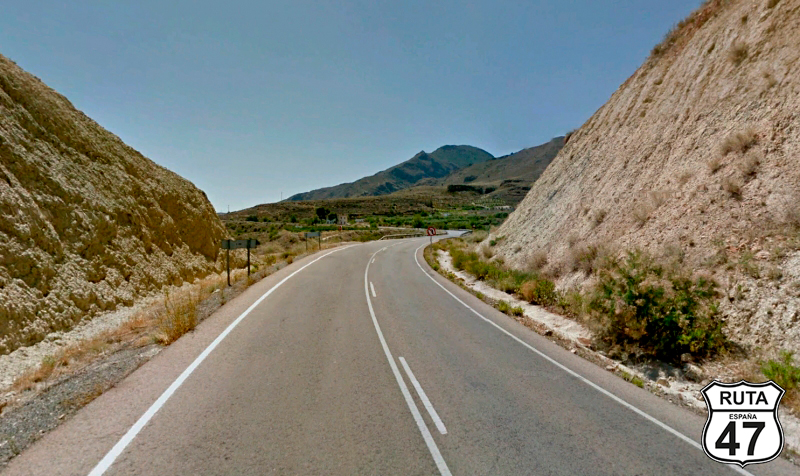
Shortly after this town, we begin a winding ascent on good asphalt, continuing to curve until we reach Valdepeñas de Jaén.
The asphalt narrows slightly after this last town. After passing kilometer marker 37 and in the midst of a winding ascent, we turn left towards Frailes.
Final del tramo

37
Tramo 2: JV-2262 - Ribera Alta (17.7 Km)
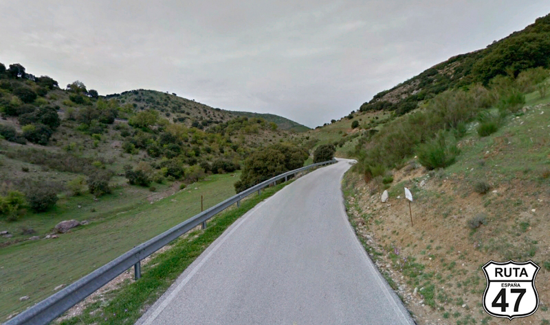
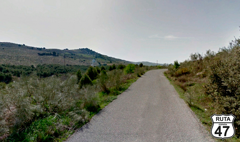
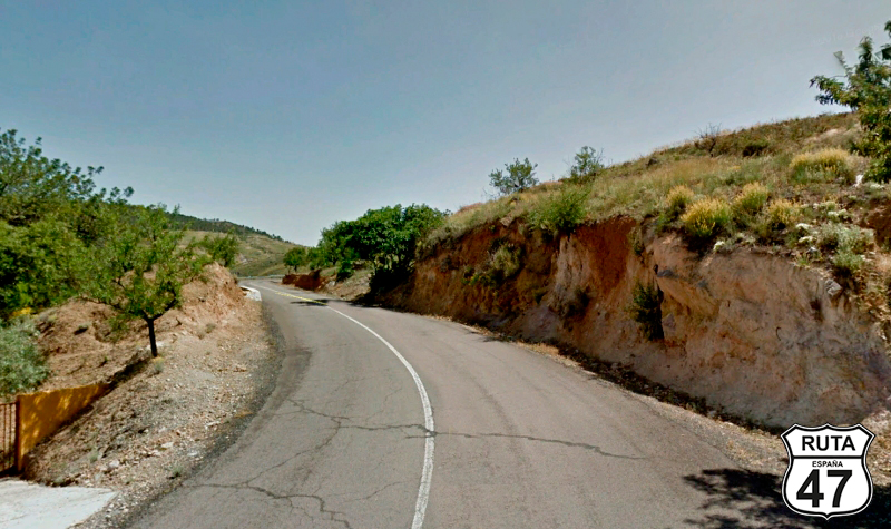
Among olive trees, we navigate through this narrow and well-paved yellow regional road, with a green and open landscape typical of a dehesa, adorned with livestock.
After several ascents with their corresponding descents, all curved, we reach Ribera Alta, having left the town of Frailes behind.
Final del tramo

Tramo 3: Ribera Alta - Alcalá la Real (7.3 Km)
We leave Ribera Alta, crossing the Frailes River, heading west. After only 7 km, and right at kilometer marker 0, we reach a roundabout where we will continue straight to access the town of Alcalá la Real. We cannot leave this town without first visiting the beautiful La Mota Fortress, where you will also receive the official stamp of Route 47. It's well worth hiring a guided tour. Before reaching the Fortress, you will pass by the Abacial Palace, also of great monumental beauty.
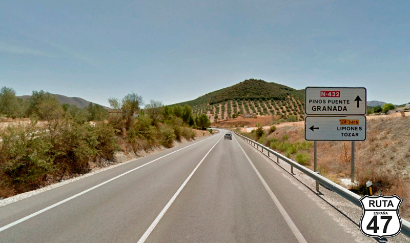
After a while, and now with the stamp from La Mota Fortress in our passport, we leave Alcalá la Real to continue our journey south, joining the N-432. Just before joining this national road, there is a gas station in case you need to refuel.
Final del tramo
0
Tramo 4: Alcalá la Real - N-432 (3 Km)
Driving on the A-403 R, halfway through this short stretch of 3 km, we reach a roundabout where we will take the first exit towards Prego and Benalua de las Villas.
Immediately afterward, we will also take the first exit at a large roundabout towards Córdoba and Granada. This exit will merge us onto the A-403, which, after only 1 km, will lead us to a final roundabout where we will take the second exit towards Granada.
Final del tramo

0
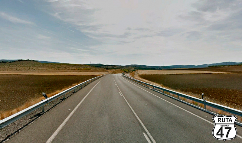
Tramo 5: N-432 - GR-3409 (20.5 Km)
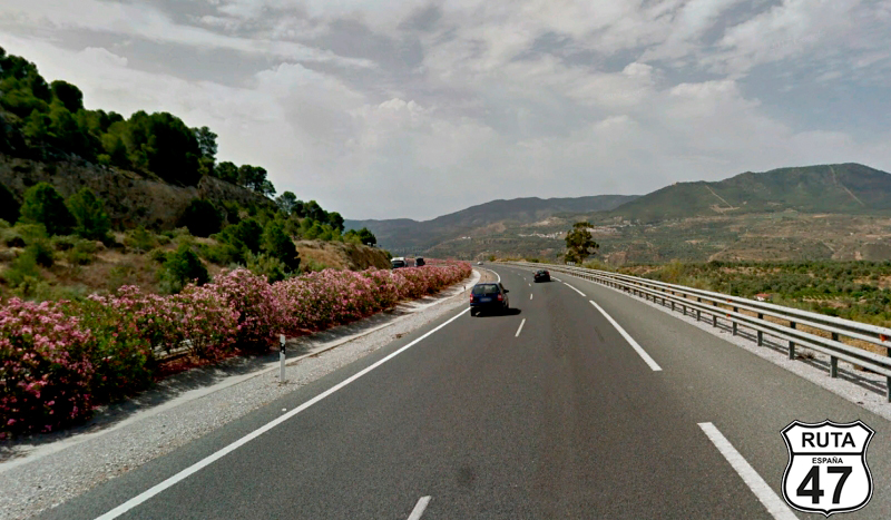
Continuing on this wide and fast National road, halfway through, we leave the province of Jaén to enter Granada, the penultimate province of Route 47.
After 20 km, which we will cover in 15 minutes, we turn right at a junction towards Íllora.
Final del tramo

Tramo 6: GR-3409 - Íllora (6.7 Km)
A series of open curves along almost 7 km bring us closer to Íllora.
Final del tramo
Tramo 7: Íllora - Tocón (8.1 Km)
Crossing endless olive groves, we now ride on the second-level regional road A-336, which will take us to Alomartes. Shortly, we will reach Tocón, where we will turn left towards Bracana after making a STOP.
Final del tramo
Tramo 8: Tocón - Loreto (8 Km)
Heading south, we start this stretch by crossing the railway via an overpass to reach Bracana, a town that we will skirt along its western side.
2.5 km later, we cross the Genil River and, through a series of open curves, we arrive at Loreto. Here, we must cross the A-92 to continue straight, but we'll have to find the overpass that allows us to do so.
First, we turn left at a STOP sign towards Granada. Shortly after, on top of the overpass, we'll cross it to turn right towards Moraleda de Zafallona and Alhama de Granada.
Finally, having observed the road we just came from on the other side of the highway, we'll turn left this time towards these two seemingly endless-named towns, thus joining the A-402.
Final del tramo


Tramo 9: Loreto - Moraleda de Zafallona (4 Km)
A long straight road takes us to Moraleda de Zafallona, a town that we will skirt around in a large left curve. Still within this municipality, we will turn left towards El Turro and Cacín. BE CAUTIOUS at this intersection, as it's easy to miss.
Final del tramo

Tramo 10: Moraleda de Zafallona - GR-3310 (15 Km)
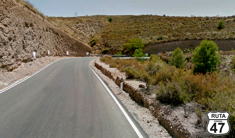
The asphalt noticeably narrows for the next 15 kilometers, leading us to Cacín.
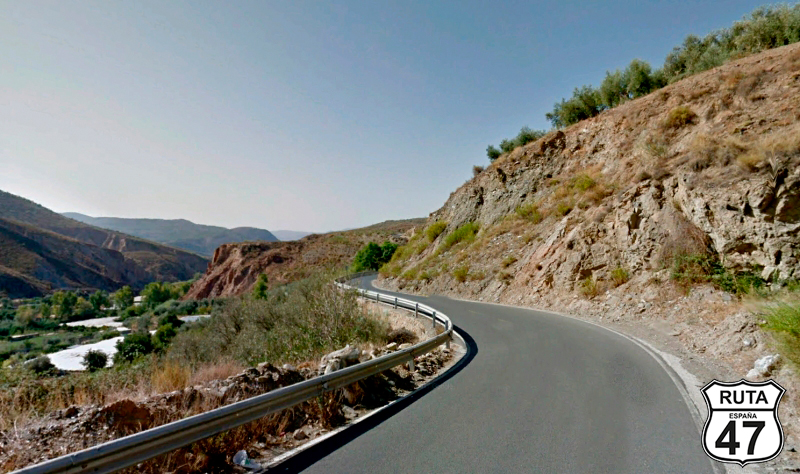
Shortly after starting this stretch, we travel for a good while very close to the Cacín River, completely changing the landscape, reminiscent of the Province of Soria, with tall pine trees on both sides of the road.
Past the midpoint of the stretch, we reach the Contraembalse de los Bermejales. Here, the landscape changes again, becoming more typical of this area.
At kilometer 128 of the route, we will turn left towards Cacín, where we will arrive after crossing the Cacín River via a narrow bridge.
Final del tramo
Tramo 11: GR-3310 - Ventas de Huelma (13 Km)
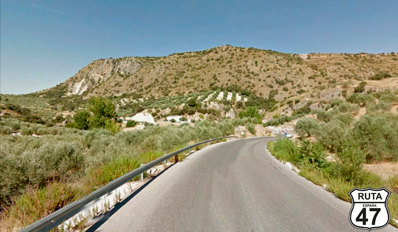
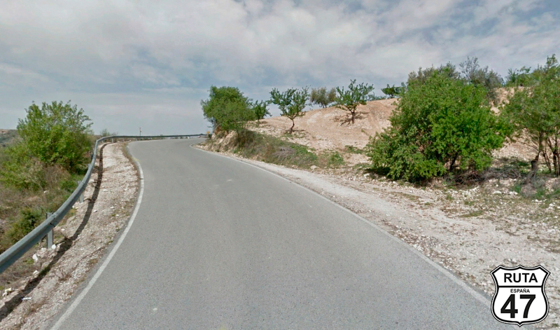
We leave Cacín on the GR-3310, starting the stretch with a series of zigzag curves that ascend to a kind of plateau reminiscent of those in the Cerrato Palentino.
Once at the top, a long straight road through olive groves takes us to a curved descent, leading to Ventas de Huelma.
At the end of this town, we join the A-338 towards Granada.
Final del tramo
0
Tramo 12: Ventas de Huelma - GRANADA (28 Km)
A long straight road with an open landscape brings us closer to Malahá, a town after which we begin several kilometers dominated by open curves that will take us to Las Gabías, a town we cross through its center.
From here, we enter what we could call villages absorbed by the capital, as we will never stop seeing inhabited houses until we reach Granada, where we will make the long stop of the day to have a snack and do some sightseeing. The Alhambra is a must-visit.
Final del tramo
Tramo 13: GRANADA - A-348 (39 Km)
In search of secondary roads that take us away from this penultimate provincial capital, we leave Granada via the fast A-4, which will take us to exit 164 towards Beznar, Pinos del Valle, and Lanjarón in about 20 minutes, covering almost 40 km.
Final del tramo

164
Tramo 14: A-348 - A-4132 (16 Km)
Heading towards La Alpujarra Granadina, a region we will ride through for several kilometers, we start this stretch by crossing the A-44 and reaching a roundabout where we will continue straight, taking the second exit towards Lanjarón.
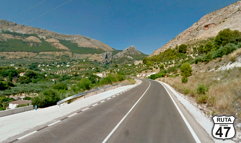
Shortly after, we cross the Tablate Bridge and continue along the A-348 through a fun stretch of zigzagging curves that will take us to Lanjarón, a town we will admire from a greater distance after making a big right turn. At the end of the curve, you can stop at a viewpoint to admire this beautiful white town.
A very curvy descent with good asphalt, initially featuring a stone wall as a guardrail, takes us to the vicinity of Órgiba, where we will turn left towards Carataunas and Trevélez.
Final del tramo
Tramo 15: A-4132 - A-4130 (42 Km)
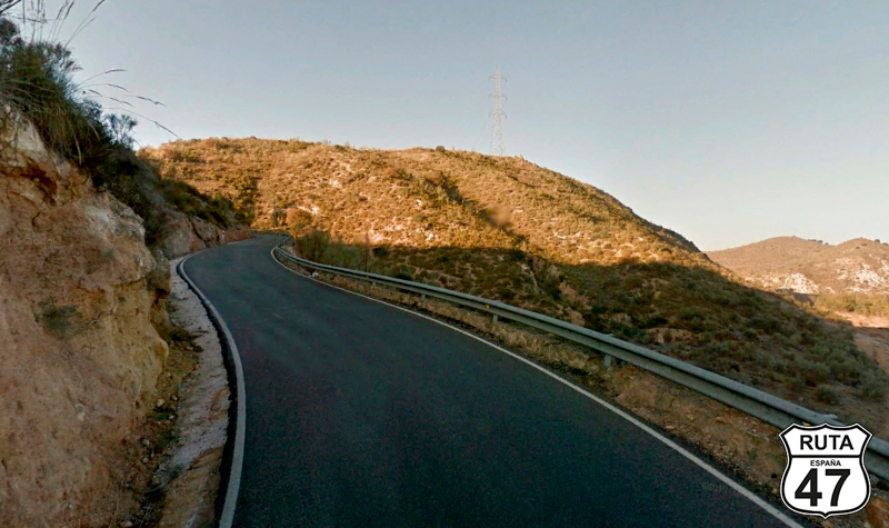
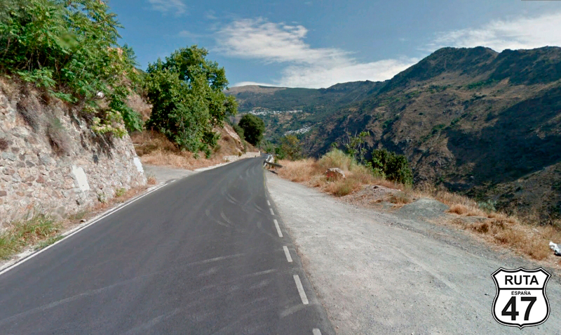
Now we embark on one of the stretches that we've enjoyed the most in this final stage of Route 47. This segment will take us to overcome a 1000-meter elevation gain along its 40-kilometer length, placing us at 1400 meters above sea level.
The winding and well-paved road allows us to relish the countless curves while ascending through the Sierra Nevada National Park, reaching the town of Trévelez.
It's May, and it's not cold, but it's quite cool here.
A right turn directs us back south to reach the end of the segment located at the boundary of this National Park, specifically at a "Y"-shaped intersection where we will take the road on the left towards Cádiar and Ujíjar.
Final del tramo
Tramo 16: A-4130 - Laroles (40 Km)
A continuous series of ascents and descents, coupled with curves of all kinds, takes us past the towns of Júviles and Berchules. Continuing along the Sierra Nevada National Park, we reach Laroles after covering 40 km on this enjoyable third-level regional road.
Upon leaving Laroles, we will encounter a stop sign where we will turn right towards Picena and Cherín.
Final del tramo
Tramo 17: Laroles - A-348 (10 Km)
At the beginning of this stretch, we embark on a steep and winding descent that takes us down 500 m over 10 km, eventually reaching Cherín.
Upon leaving this town, we will approach a roundabout where we will take the second exit towards Berja.
Final del tramo
Tramo 18: A-348 - AL-6400 (1 Km)
Now we begin the shortest stretch of the stage, traveling along the A-348. After just 1 km and crossing the Adra River, we leave Jaén behind, simultaneously entering the last province of Route 47. In case you haven't noticed, the route is named after the number of provinces we'll traverse in this great Spanish journey.
Final del tramo
Tramo 19: AL-6400 - A-348 (5 Km)
With a contradictory feeling of both joy and sadness, we now travel through the last of the provinces of Route 47, being only 50 km away from the city of Almería, where we will spend the last night.
After 5 km on a rather straight route, we will merge onto the A-348 after two roundabouts, heading towards Laujar de Andaráx in both.
Final del tramo

Tramo 20: A-348 - A-391 (44 Km)
We begin this long stretch approaching the capital of Almería, ascending a bit to start traversing a route composed of open zigzag curves that become more pronounced as we re-enter the Sierra Nevada National Park.
After 44 km, leaving behind the towns of Fondón, Almócita, Padules, Canjáyar, Instinción, and Illar, we turn right to head towards Roquetas.
Final del tramo
Tramo 21: A-391 - A-7 (26 Km)
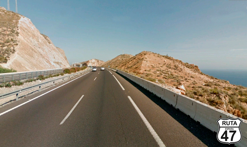
A winding ascent of 11 km places us next to a wind farm at an altitude of 1000 meters. From here, the scent of the sea is already in the air amidst the open landscape, where in the distance, one can sense the winding descent of another 15 km that will lead us to join the A-7 at sea level, heading towards Almería.
Final del tramo
Tramo 22: A-7 - ALMERÍA (15 Km)
Now in the final stretch of this stage and consequently of the great Route 47, we accelerate a bit to reach Almería after having traveled more than 10,000 km along the winding Spanish roads with spectacular and diverse landscapes, not forgetting the varied gastronomy of each of the 47 provinces.
With the helmet open and feeling the Mediterranean breeze, we bring this route to a close, covering the last 15 kilometers that will take us to Almería via this fast highway.
Today's must-see is the monumental complex of the Alcazaba. For dinner, some tapas, and tomorrow... "we'll be back."
Final del tramo