


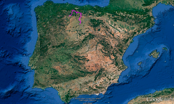
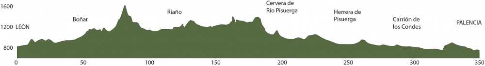
Distance 349 Km. distributed across roads of the following types:
Carreteras Nacionales: 52.4 km. Autonómicas de 1º nivel: 51.9 km. Autonómicas de 2º nivel: 230.7 km. Autonómicas de 3º nivel:20 km.
Sections: 20
Autor: Gérard
Descripción:
Spectacular route that will first take us north to enjoy the mountainous landscapes of León and Palencia, concluding in the capital of the province boasting the highest concentration of Romanesque art in Europe.
As we progress, we will encounter two distinctly different landscapes: Tierra de Campos and Cerrato, each with its unique scenic beauty.
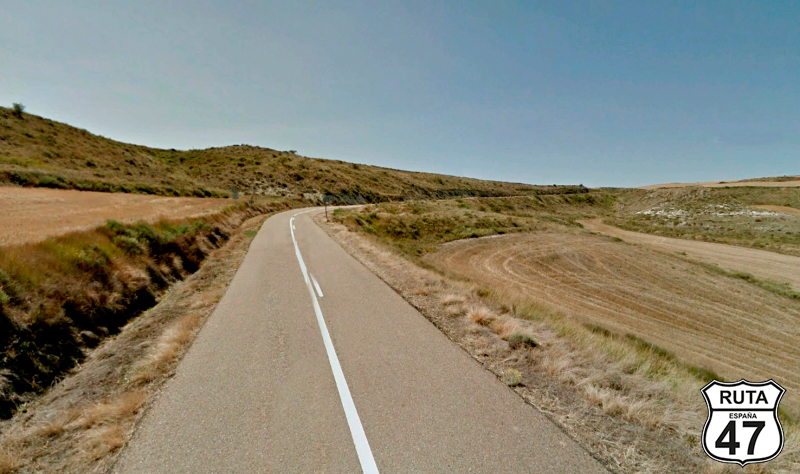
Tramo 1: LEÃN - CL-624 (25.4 Km)
We start this stage with Palencia as the final destination. We could go directly south from León to Palencia, but we've decided to go a bit north, almost to the Picos de Europa, and enter Palencia from its mountainous side, to later admire its other two well-differentiated types of landscapes.
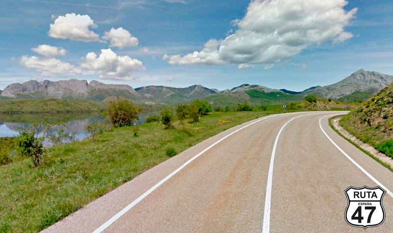
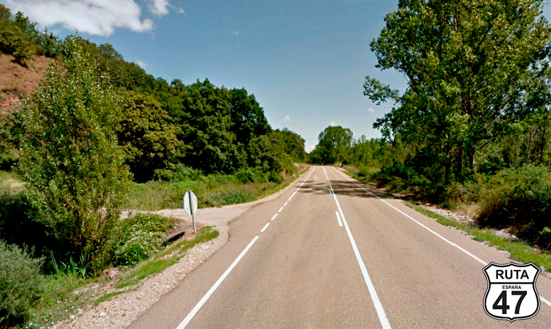
So, after visiting the beautiful Gothic Cathedral of León, dating back to the 13th century, we set the motorcycle's trip meter to zero and leave this lovely city, León, via the N-621 heading north.
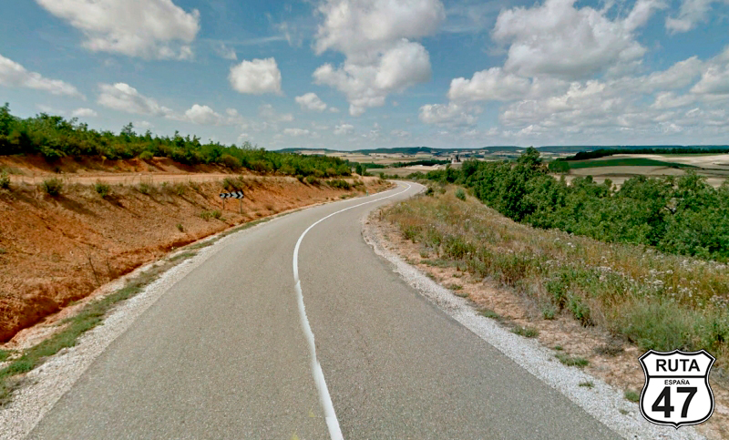
Initially, we ride on a long straight road, and then we enter a stretch with open curves.
After 20 minutes on the road, we switch to the CL-624, turning left towards Boñar.
Final del tramo

Tramo 2: CL-624 - Boñar (19.6 Km)
Still far from the mountains, we continue north on the CL-624, a first-level regional road, which is noticeable in its width and asphalt quality.
The Porma River accompanies us at all times, occasionally visible on the right side, and it can be observed that as we progress, the landscape becomes greener. In the distance, the mountains can be seen, and we'll reach them in a while.
We pass by several small urban centers, and at kilometer 45 of the route, we reach Boñar.
Final del tramo

Tramo 3: Boñar - Puebla de Lillo (25.4 Km)
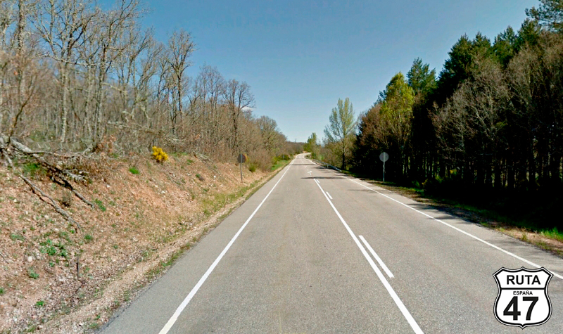
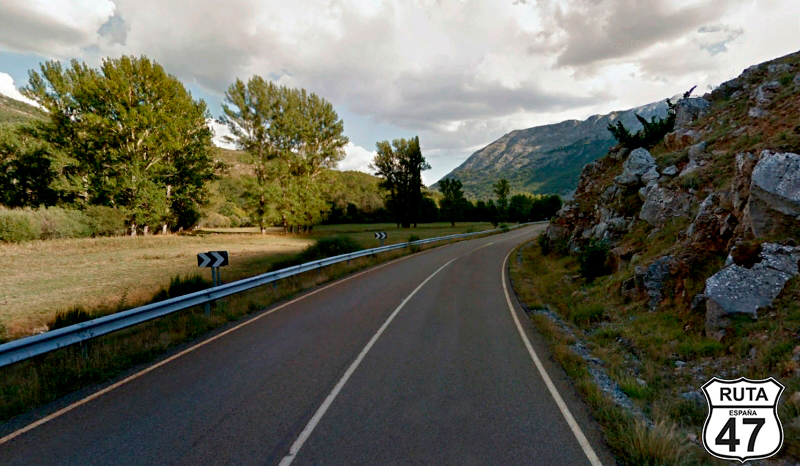
After crossing Boñar, we continue north on the LE-331 still in the company of the Porma River.
The good asphalt and the width of this road, marked in green, combined with the layout following the curves of the river and adorned with the mountainous landscape on the horizon, make this stretch very enjoyable. The constant ascent adds the finishing touch.
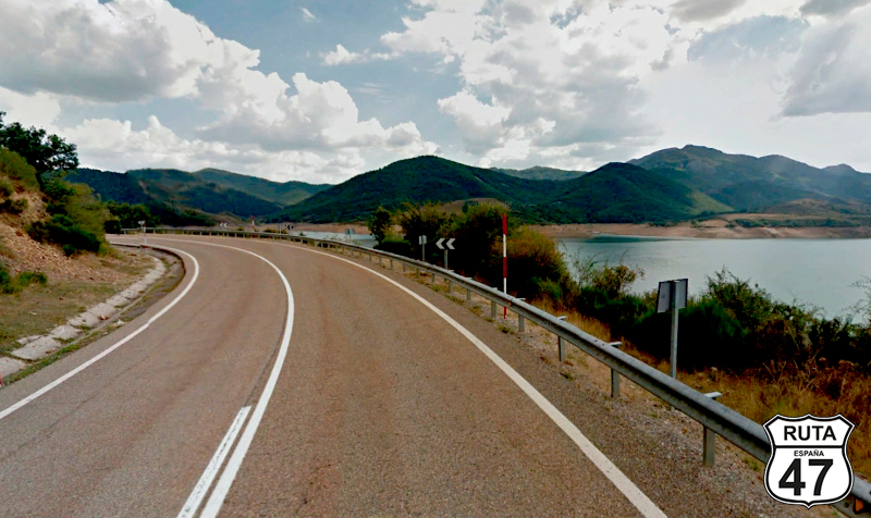
At kilometer 55 of the route, the Porma River becomes the Porma Reservoir, and we start another 10 km stretch of various curves and a couple of tunnels, following the perimeter of the reservoir. Shortly after, we reach Puebla de Lillo, where we will join the next stretch by turning to the right.
Final del tramo

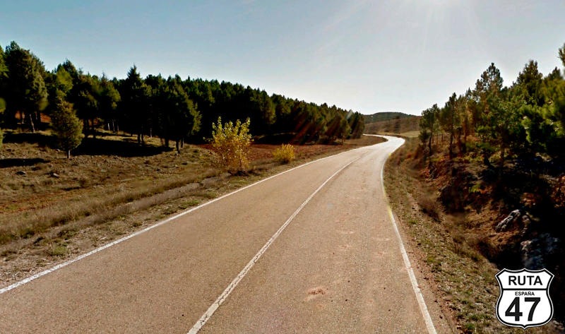
Tramo 4: Puebla de Lillo - CL-635 (14.3 Km)
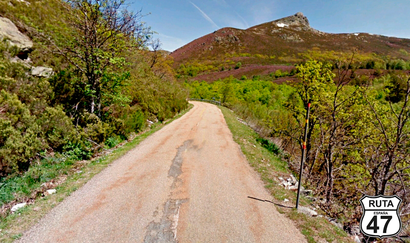
We start this beautiful stretch of 14 km, entering El Mamporre, a mountainous area with the Mampodre Massif as the protagonist, which we will be circling to see its different faces.
At first, the road is very well asphalted but deteriorates considerably, a fact compensated by its incredible landscape and curves through which we will reach the Puerto de Las Señales, located at 1625 meters above sea level.
After a short stop to fill our lungs with fresh air, we begin the descent to the Puerto de Tarna, located at 1490 meters, where we finish the stretch after making a STOP and turning to the right.
Final del tramo

Tramo 5: CL-635 - N-625 (21.3 Km)
The asphalt of this Orange road is in much better condition than the green one that brought us here.
We continue descending through a valley, and shortly after leaving Mampodre, we are accompanied by the Riosol River, which will later become the Esla.
After a few open curves, the Esla River transforms into the Riaño Reservoir, and right in the middle of the reservoir, we reach a STOP where we turn right towards Riaño.
Final del tramo
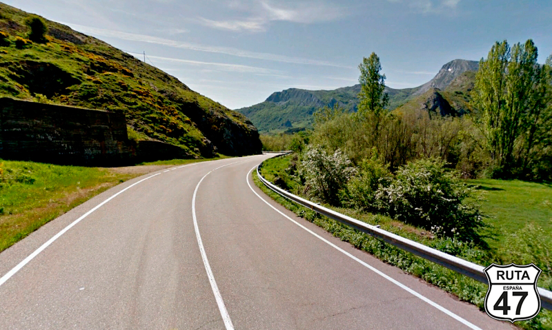
Tramo 6: N-625 - Riaño (7 Km)
We start this fast and beautiful stretch that runs alongside the reservoir, crossing it on a 300-meter-long bridge.
After 7 km of fast curves on good asphalt, we reach Riaño, which is on the other side of the intersection where we just made a stop. The landscape is spectacular, with small sharp ridges and not very high mountains rising at the edge of the reservoir.
We turn left and continue the route.
Final del tramo

Tramo 7: Riaño - Boca de Huérgano (8 Km)
Like any road that runs alongside a reservoir, this one is equally winding, but, being a National road, it is wide and very well paved. So, these 8 kilometers of fast zigzagging curves that take us to Boca de Huérgano are really fun.
Final del tramo

Tramo 8: Boca de Huérgano - P-215 (18 Km)
With a third of the route covered, we leave Boca de Huérgano and prepare to ride south on the LE-215,
A line of vegetation that accompanies us throughout this stretch reveals the presence of the Arroyo del Valle, which shortly before the end of the stretch, will merge with the Río Grande, present until the end of the stretch.
Final del tramo

Tramo 9: P-215 - Velilla del Río Carrión (5 Km)
We have just entered the province of Palencia, from its northern side, and are about to ride through the Sierra del Brezo, a natural wall between the plain and the Natural Park of Fuentes Carrionas and Fuente Cobre-Montaña Palentina,
Between curves that run along the foothills of the Sierra, we arrive at Velilla del Río Carrión.
Final del tramo
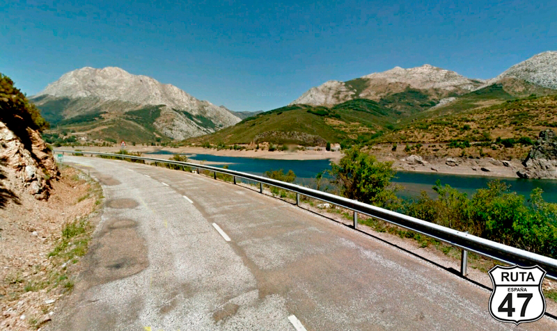
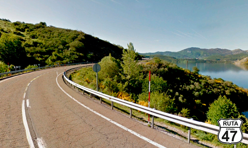
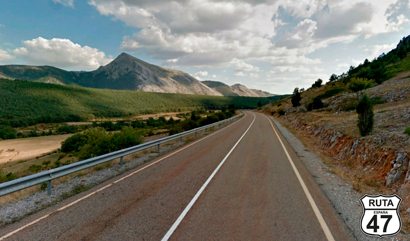
Tramo 10: Velilla del Río Carrión - Cervera de Pisuerga (55 Km)
Before heading definitively south in this stage, we head north again to travel these 55 km with many curves along one side of the Compuerto Reservoir, which soon, after passing through the town of Camporedondo de Alba, transforms into the Camporedondo Reservoir. From here, you can admire the Espigüete massif, with its white peak, many months of the year.
After the reservoir, we enter the Natural Park of Fuentes Carrionas and Fuente Cobre, and between ups and downs with curves of all kinds, we reach Cervera de Pisuerga, where we also leave this Natural Park.
Final del tramo
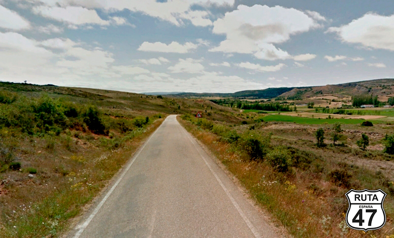
Tramo 11: Cervera de Pisuerga - Salinas de Pisuerga (11 Km)
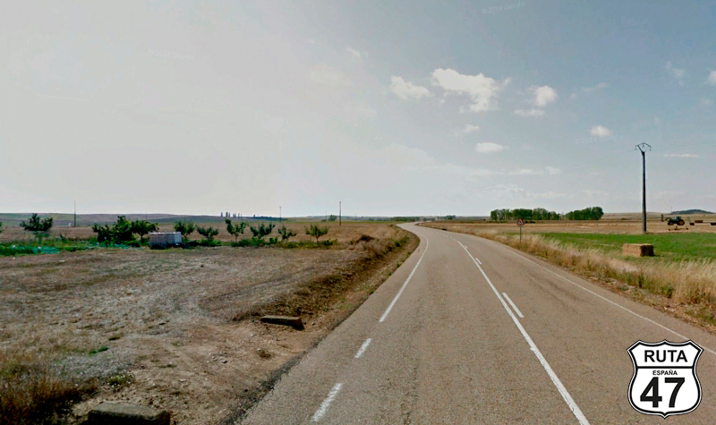
The mountains are now only seen in the rearview mirror in this 11 km stretch, and the landscape, although still green, is much more open, while the road becomes increasingly straight.
We reach Salinas de Pisuerga, and at the first roundabout, we turn right, taking the first exit to enter this town.
Final del tramo

Tramo 12: Salinas de Pisuerga - PP-2131 (11 Km)
The road narrows significantly, with no trace of vertical signage, as we ride on the west side of the Aguilar Reservoir. The route lacks relevant curves as we don't follow the contour of the reservoir.
After 11 km, we leave the reservoirs and continue south.
Final del tramo
Tramo 13: PP-2131 - P-227 (9 Km)
The 9 km of this solitary stretch take us to the P-227 along this yellow-labeled road.
The landscape is still populated with trees, but as we progress, it changes a bit, becoming increasingly flat and desolate.
At the 230 km mark of the route, we reach a STOP sign where we will turn left towards Olmos de Ojeda and Herrera de Pisuerga.
Final del tramo
Tramo 14: P-227 - Herrera de Pisuerga (20 Km)
At 2.5 km from the beginning of this stretch, it's worth deviating about 300 to visit a not very well-known Romanesque gem, the church of Sta. Eufenia de Collozos, just before reaching Olmos de Ojeda and belonging to this town. Like all Romanesque churches, this one is small, of great beauty both inside and out, and it is also in perfect condition.
Shortly after, we pass by Moharves de Ojeda. If you are a lover of Romanesque art, here is another gem you can't miss: The doorway of the church in this town, defined by Unamuno as a "fiery incarnation."
After this, a long, straight road that occasionally breaks its monotony with some open curves will take us to Herrera de Pisuerga.
Final del tramo

Tramo 15: Herrera de Pisuerga - P-236 (19 Km)
Without entering Herrera de Pisuerga, we take the first exit at the roundabout at the beginning of this town, heading towards Saldaña, Villanuño de Valdavia, and Calahorra de Boedo.
After 19 km of long straight roads, leaving behind the towns of Calahorra de Bohedo, Villameriel, and Villanuño de Valdavia, we reach a STOP, where we will turn left towards Bárcena de Campos and Villaherreros.
Final del tramo
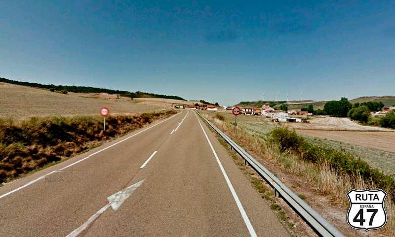
Tramo 16: P-236 - N-120 (15 Km)
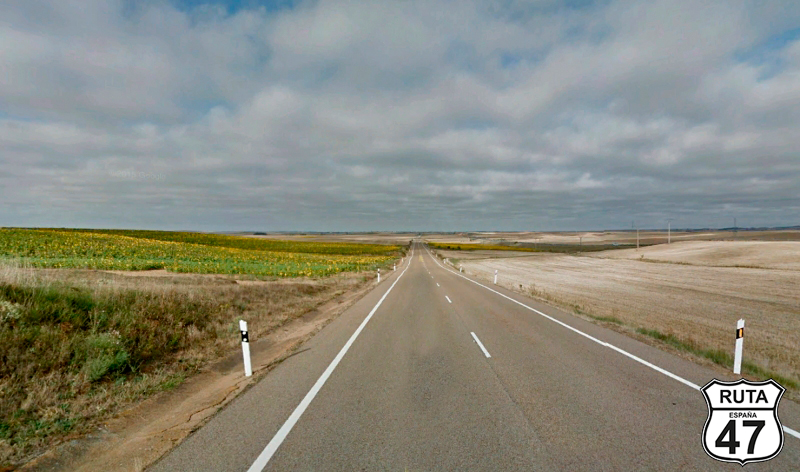
We are now in Tierra de Campos, another type of landscape in the Palencia area characterized by vast expanses of land, typically cultivated with cereals, where the view extends to the horizon without seeing a single mountain. The roads are not very different from the landscape just described.
Between straight stretches, we reach the end of the section very close to Villaherreros, at another STOP where this time we will turn right towards Carrión de los Condes.
Final del tramo
Tramo 17: N-120 - Carrión de los Condes (12 Km)
An endless straight road takes us to Carrión de los Condes, on this wide and well-paved national road.
Final del tramo
Tramo 18: Carrión de los Condes - P-430 (20 Km)
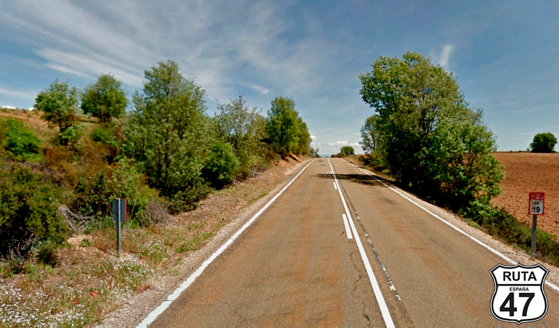
We leave behind this medieval town to head towards Frómista on this regional road, which, even though it's a secondary one, is very straight and wide.
We're traveling a stretch of the Camino de Santiago, so you might see several pilgrims walking in the opposite direction.
Having covered almost 300 km, we don't have much left to reach Palencia. If you pass by here around lunchtime, we recommend stopping in Villalcazar de Sirga to taste a delicious Roast Suckling Lamb cooked in a wood-fired oven at Mesón de los Templarios.
We continue on this road as we enter Frómista. In this town, there are two things you can't miss. The first is the Church of San Martin, the prime example of Palencia's Romanesque architecture. Across the street, there's a bar where you can have a coffee while admiring this Romanesque gem.
Just outside Frómista is the second curiosity you can't miss: the locks of the Canal de Castilla. This canal has 49 locks arranged along its course, but these are the ones that overcome the greatest height difference with a quadruple jump.
A few meters from the locks, we finish the stretch at a right turn towards Tamara de Campos.
Final del tramo
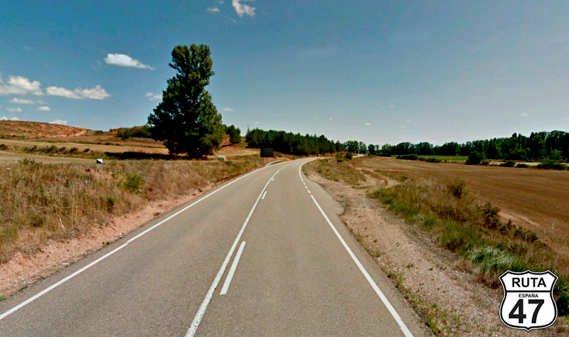
Tramo 19: P-430 - P-405 (19 Km)
As we advance on this regional road with a green designation, a beautiful and sturdy church can be seen in the distance. It's the Church of Támara de Campos, with the status of a Cathedral. Built with alms, it incorporates all the architectural styles of the medieval era, as it took centuries to construct. It's curious to find such a marvel in such a small village, and it's worth visiting both inside and outside.
After passing this locality, we ride through a curved and short ascent and continue along long straights adorned with cultivated fields until another descent, similar to the previous ascent, brings us to Valdespina. Once past this town,
4 km later, we join the last stretch of the route.
Final del tramo
Tramo 20: P-405 - PALENCIA (20 Km)
Just 20 km from the end of this stage, we pass through Villajimena, and shortly after, we pass by another monumental gem: The Castle of Fuentes de Valdepero. Due to its proximity to Palencia, we couldn't resist the temptation to get closer and visit this robust castle, which is open for exploration inside and now serves as the archive of Palencia.
We leave Fuentes de Valdepero retracing our steps to rejoin the P-405. Shortly after, we reach our final destination.
We still have some time in the afternoon/evening, so we won't leave this city without visiting The Beautiful Unknown.
Final del tramo