


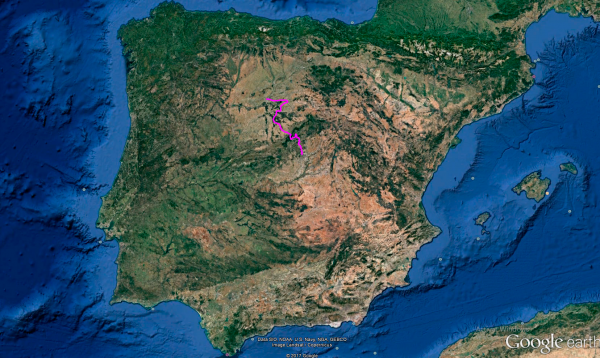
Distance 306 Km. distributed across roads of the following types:
Carreteras Nacionales: 5 km. Autonómicas de 1º nivel: 91.1 km. Autonómicas de 2º nivel: 100.9 km. Autonómicas de 3º nivel:109 km.
Sections: 22
Autor: Gérard
Descripción:
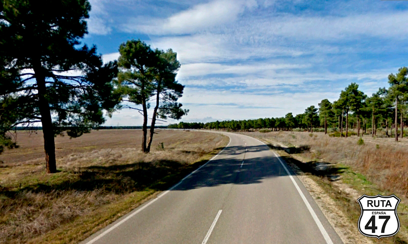
Tramo 1: MADRID - M-609 (30.3 Km)
Early in the morning, we leave Madrid. Today's route is not very long, but there are several castles along the way that we want to visit. Additionally, we'll pass through Segovia, and we can't leave this beautiful city without at least visiting its famous aqueduct. So, we look for the M-609 to exit this enormous city.
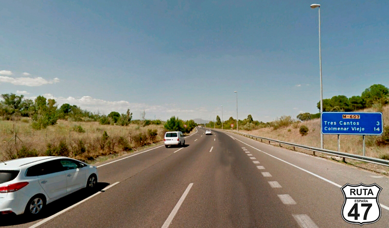
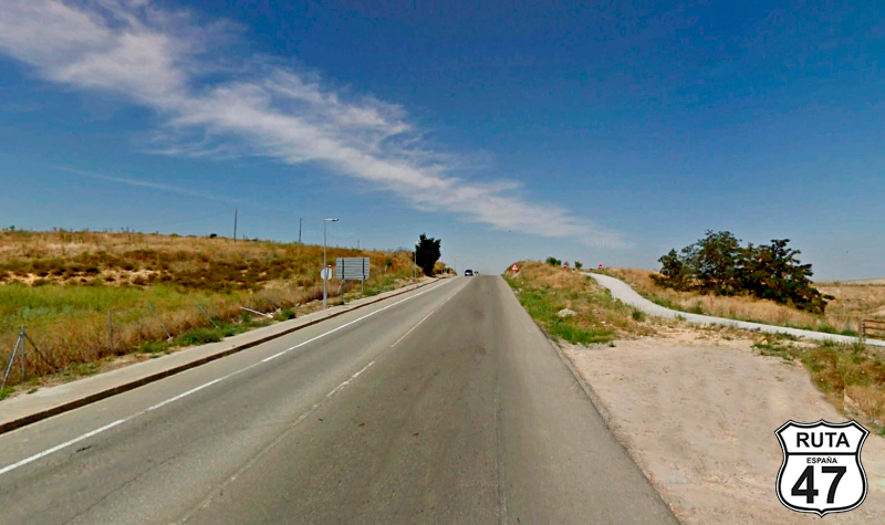
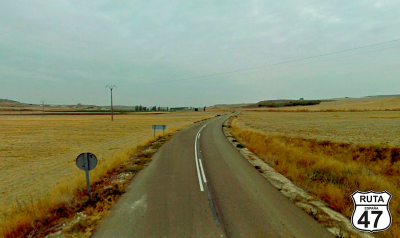
In our case, we take the M-40, which we haven't considered in this stretch because, depending on where you've stayed, you might choose another road to leave Madrid. We exit through exit 57, heading towards Colmenar Viejo and Tres Cantos, where the road we're going to take, M-609, is also announced.
In a very open circular curve, we merge onto the Colmenar Viejo highway, where shortly afterward, we'll take exit 15 towards Valdelatas. From here, we ride on the M-609, as the main road for this first stretch.
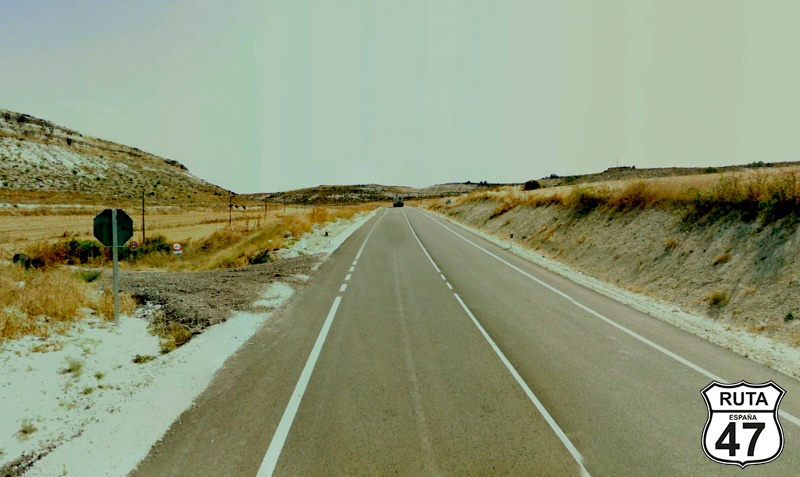
It won't be until Colmenar Viejo, at kilometer 30 of the route, that we stop seeing buildings absorbed by the large metropolis we've departed from.
After this last town, we take exit 35 towards Soto del Real.
Final del tramo

35
Tramo 2: M-609 - M-611 (10.7 Km)
We start this second stretch with a 3 km straight when we pass by the Cuenca Alta Manzanares Regional Park.
Shortly afterward, we reach a roundabout that we continue straight through, heading towards Miraflores de la Sierra. After a huge curve that bypasses the large town of Soto del Real, we arrive at a second roundabout where we will also continue straight, taking the second exit, also towards Miraflores de la Sierra.
Final del tramo

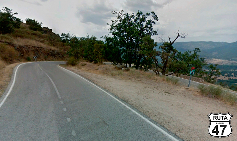
Tramo 3: M-611 - Rascafría (31.9 Km)
With the Sierra de Guadarrama on the horizon, it is anticipated that we will soon start making curves, and the fun will begin.
A new roundabout in the Soto del Real variant takes us to another final roundabout, already in the north of this locality, where we will take the first exit to continue north towards Miraflores de la Sierra, a locality that we will reach through a route that is starting to have curves.
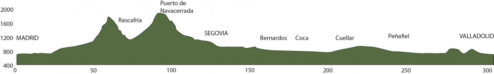
After passing this locality, we begin an ascent of 8 km, and after riding on a flat stretch for a while, a curved and winding path brings us to Rascafría, located in the Lozoya Valley.
Final del tramo

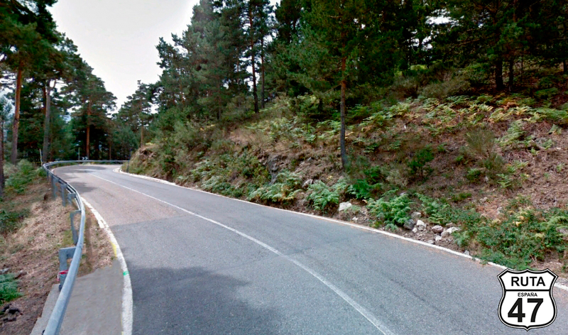
Tramo 4: Rascafría - CL-604 (16.3 Km)
In Rascafría, we change roads to head south, immersing ourselves fully in the Sierra de Guadarrama National Park, once again starting a winding ascent after traveling 8 km through the valley.
At the top of the ascent, a sign announces that we are temporarily leaving the Community of Castilla-La Mancha to re-enter Castilla y León, this time through Segovia.
Bye Bye Madrid.
Final del tramo

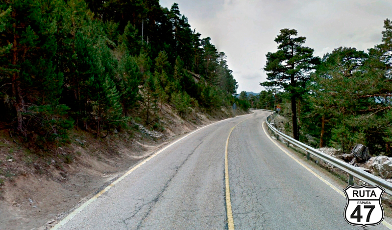
Tramo 5: CL-604 - Puerto de Navacerrada (6.7 Km)
Bordering the Navacerrada Massif, we advance along this winding route in the Sierra de Guadarrama in a slight ascent until, almost at kilometer 100 of the route, we reach a T-shaped intersection where we will turn right to continue the route.
But before that, we'll make a stop to have a coffee and admire the incredible landscape from here. We are at the top of the Puerto de Navacerrada, at an altitude of 1880 m.
Final del tramo

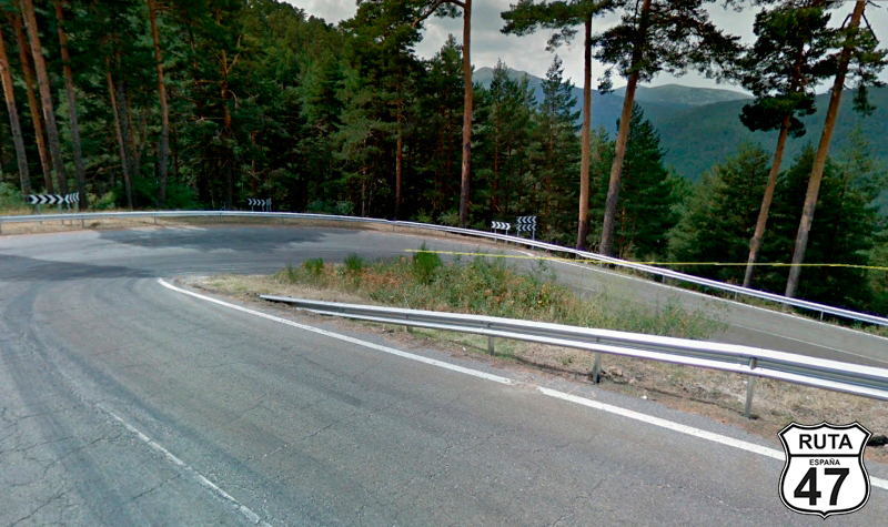
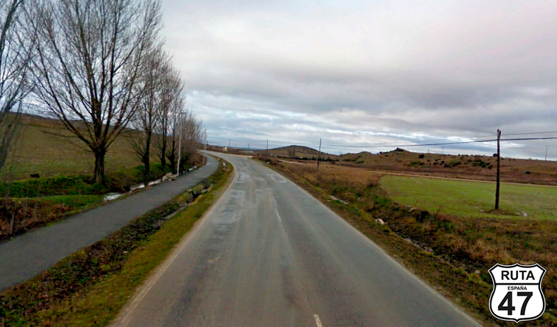
Tramo 6: Puerto de Navacerrada - Segovia (28.1 Km)
A new sign announcing the entry into the Castilla y León Community informs the traveler coming from the M-601 that they are about to change regions.
Right at that point, we begin a fun and winding descent that will take us to San Ildefonso, covering a drop of 650 m in 16 km and placing us at 1200 meters above sea level.
Shortly after entering San Ildefonso, we will reach a roundabout where, to continue the route, we must turn left onto the CL-601, the road to Segovia.
Being at the right time and place, we can't resist making a detour at that roundabout to visit the Royal Palace of La Granja de San Ildefonso, commissioned by Felipe V in 1719 and whose name comes from an old farm that the Jerónimos monks of the El Parral Monastery had nearby.
Managed today by National Heritage, the palace is open to visitors, and seeing such monumental works gives us an idea of how the Kings have always lived.
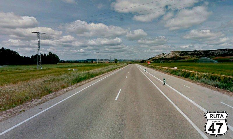
Back to the previous roundabout, we continue towards Segovia when we cross the Pontón Alto Reservoir. On the other side of the reservoir, the landscape changes radically, becoming more typical of Castilla y León. Although this region also has mountains, large expanses of spring green and summer yellow dominate. This is what awaits us until we reach Valladolid.
Eight kilometers after the reservoir, we arrive in Segovia, where we cannot leave without visiting its famous aqueduct and taking the corresponding testimonial photo.
Final del tramo

Tramo 7: Segovia - CL-605 (5 Km)
Looking for secondary roads, we leave Segovia on the N-110, which we will abandon after only 5 km at a yield sign towards Santa María la Real de Nieva and Arévalo.
Final del tramo

Tramo 8: CL-605 - SG-V-3311 (12 Km)
We are now traveling on the first-order regional road CL-605 in a completely straight section with a large curve that bypasses an industrial area.
Shortly after starting this section, we cross the High-Speed Train track via an overpass, and after covering 11 km and also passing PK 11, we will see a right turn towards Añe, Armuña, Garcillán, and Bernardos.
Final del tramo
11
Tramo 9: SG-V-3311 - Bernardos (18 Km)
We are now traveling towards Bernardos on this yellow regional road characterized by a succession of very open curves that narrow a bit when crossing the Moros River over a narrow bridge at the exit of the town of Añe.
After traveling 18 km on this road, we reach Bernardos, not without first crossing the town of Armuña.
We enter the town of Bernardos, and upon reaching the town square, we turn left to head towards Miguelañez and Santa María.
Final del tramo
Tramo 10: Bernardos - Miguelánez (1 Km)
Only 1 km separates Bernardos from Miguelañéz, which we access via a straight road.
Upon entering this town, we turn right towards Nava de la Asunción.
Final del tramo
Tramo 11: Miguelánez - Nava de la Asunción (12 Km)
With more than half of the route covered, and it being already noon, it's time to think about stopping to satisfy our stomachs. Soon, we will arrive in Coca, where we want to stop to see its impressive Gothic-Mudejar castle, so we will take advantage of the stop for that purpose.
After only 8 minutes of riding on the SG-V-3413, we arrive in Nava de la Asunción, where we will make a stop to turn right towards Cuellar.
Final del tramo
Tramo 12: Nava de la Asunción - Coca (7 Km)
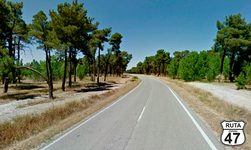
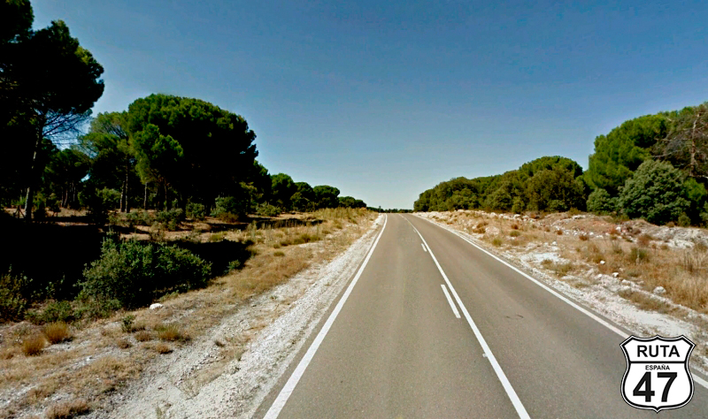
We have just entered Tierra de Pinares, an area that extends through the provinces of Valladolid and Segovia, where the trees are characterized by having a long trunk and leaves at the top.
A long straight road of 7 km brings us to Coca, where, as mentioned earlier, we will stop to have lunch and see its impressive Gothic-Mudejar castle.
Final del tramo
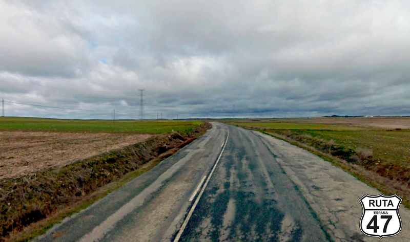
Tramo 13: Coca - Chañe (17 Km)
We tackle the remaining just over 100 km to Valladolid with a full stomach and eager to continue seeing monuments. These remaining 100 km lack relevant curves, so taking advantage of this circumstance and knowing that we still have a couple of castles to see along the way, we accelerate as much as possible within legal limits and enter Chañe, located 17 km from Coca.
Final del tramo

Tramo 14: Chañe - Vallelado (7 Km)
A small succession of straights separated by open curves takes us to Vallelado, where we have a new opportunity to admire the characteristic pine trees of this area, which are on both sides of the road.
At the entrance of Vallelado, a roundabout joins us to a more major regional road than this third-level one that brought us here.
Final del tramo
Tramo 15: Vallelado - Cuellar (10 Km)
We leave aside the Pinares de Segovia, and on the CL-602 with orange nomenclature, we continue towards Cuellar, another place with a mandatory stop, which we reach after covering only 10 km in a straight line.
Trying not to linger too much, we visit its impressive castle, another gem of the area.
Final del tramo
Tramo 16: Cuellar - SG-203 (5 Km)
Circulating on the SG-V-2035, we leave Cuellar behind and head north towards our final destination of the day.
Just before driving through typical pine trees in the area, we cross the A-601 via an overpass, and shortly afterward, we reach a junction where we turn left towards Cogeces del Monte.
Final del tramo

Tramo 17: SG-203 - VA-203 (1 Km)
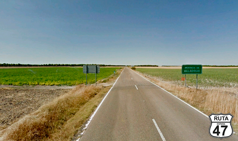
We are now traveling through one of the so-called "very short sections." This one, just 1 km long, is one of those where we change roads, and we only realize it because of the green sign announcing the entry into a new province. Specifically, that of Valladolid.
Final del tramo
Tramo 18: VA-203 - Cogeces del Monte (7 Km)
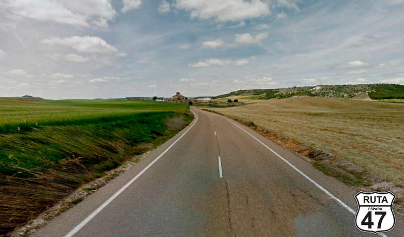
Now in the province of Valladolid and having left 26 provinces behind on this Route 47, we advance on this second-level regional road that will take us to Torrescárcela through a straight stretch of 3 km. After this locality, another straight stretch will lead us to Cogeces del Monte after a very brief ascent that breaks the monotony of the straights with a couple of curves.
Final del tramo
Tramo 19: Cogeces del Monte - Peñafiel (21 Km)
Heading Northeast, we are now heading towards the town where we will make the last stop before reaching Valladolid. This charming city in the heart of the Ribera de Duero region is Peñafiel, which we reach along a 21 km straight and flat stretch in about 15 minutes. Without a doubt, it is worth visiting this charming town, climbing to its castle, now a symbol of wine tourism in the Ribera del Duero, taking a stroll through its narrow streets, admiring its beautiful square, and, if there is time, tasting a Protos wine in the cellar located at the foot of the castle.
Final del tramo
Tramo 20: Peñafiel - Pesquera de Duero (7 Km)
In a left turn, we leave the impressive town of Peñafiel to head to Pesquera de Duero, a locality we will reach after covering 7 km on good asphalt. If one looks closely, you can appreciate on the right side a mound with a castle at its highest point. It is the Castle of Curiel de Duero, completely rebuilt and turned into a charming hotel. At the top of its tower, which has a small pool, is the highest point in the province of Valladolid with breathtaking views where the gaze loses itself on the horizon.
Final del tramo
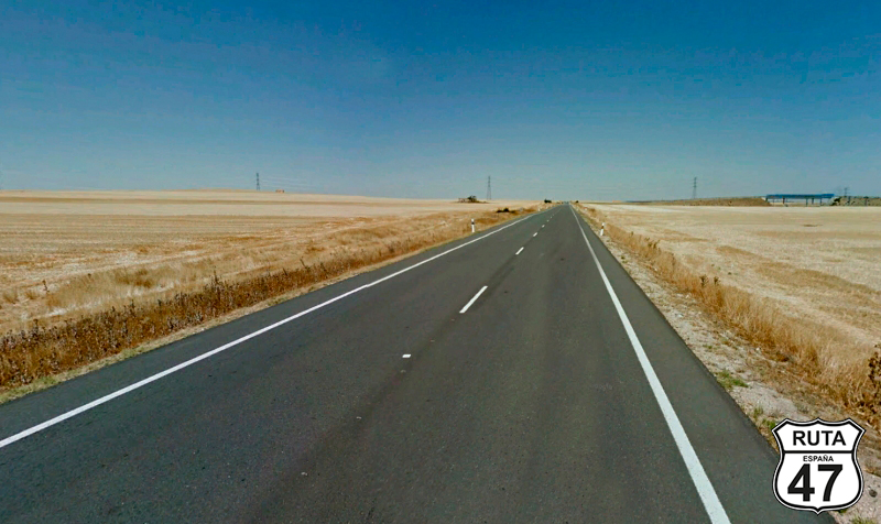
Tramo 21: Pesquera de Duero - VA-140 (42 Km)
Cruising along the Duero River, we progress on the VP-3001, wider than usual for these kinds of roads, long and straight.
Leaving behind the towns of Valvuena de Duero, Olivares de Duero, and Villavañez, we reach Renedo de Esgueva after 42 km of yellow regional road.
Shortly after, a T-shaped intersection where we turn left will take us to Valladolid.
Final del tramo

Tramo 22: VA-140 - VALLADOLID (10 Km)
At sunset, we reach our final destination for today via this green road, which will take us to Pucela, the other official name for the capital of Valladolid, over a stretch of 10 km.
Final del tramo