


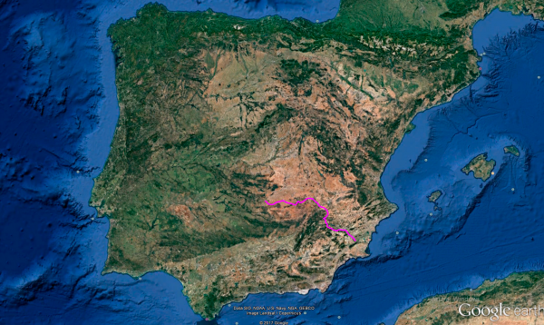
Distance 418 Km. distributed across roads of the following types:
Carreteras Nacionales: 148.8 km. Autonómicas de 1º nivel: 57.3 km. Autonómicas de 2º nivel: 184.7 km. Autonómicas de 3º nivel:24.5 km. Asfalto o cemento sin nombre: 2.7 km.
Sections: 20
Autor: Gérard
Descripción:
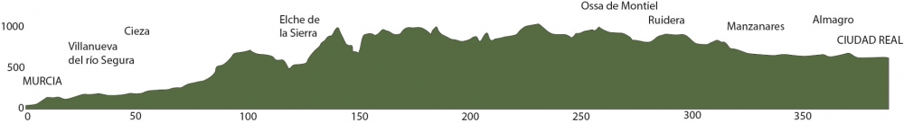
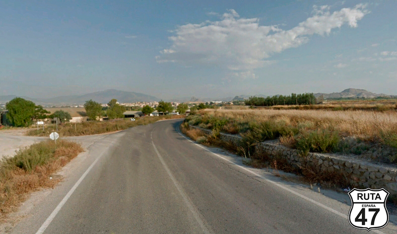
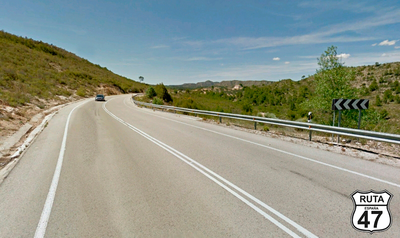
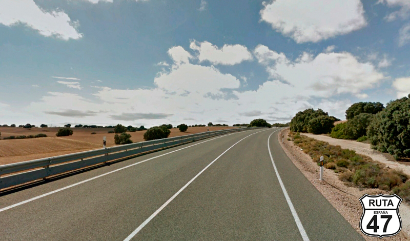
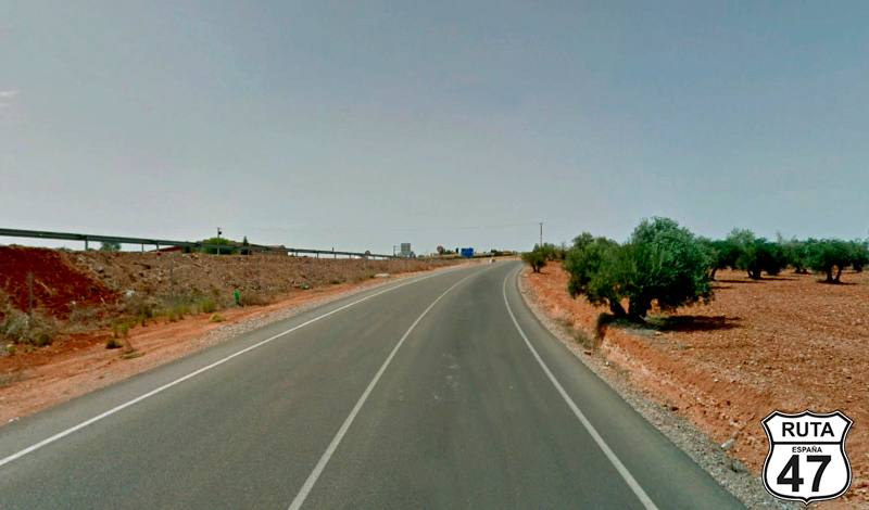
Tramo 1: MURCIA - Vecinal (16.8 Km)
After bidding farewell to the Mediterranean yesterday, we leave Murcia with the first rays of the sun, heading west once again, with Ciudad Real as the final destination of this stage. Today, we'll cover a route above the average of Route 47, approaching the 400 km mark, with some straight stretches and others with plenty of curves.
So, we reset the motorcycle's odometer and, avoiding the A-30, which would initially take us to the same place as our alternative route, we leave the Murcian capital, looking for the N-301 A, which we'll take after the bypass of Murcia that we haven't considered because the exit route from this city will depend on your accommodation preferences.
Almost without leaving Murcia, we reach Molina de Segura via this dual carriageway. On the outskirts of this large town, we arrive at a roundabout in its industrial area, where we'll turn left, taking the third exit towards Lorqui.
Final del tramo

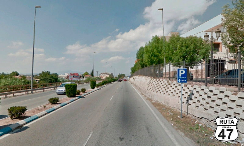
Tramo 2: Vecinal - Lorqui (2.7 Km)
We won't take long to reach the end of this stretch, where we first cross the railway track via an overpass to access a roundabout where we'll take the first exit towards Archena and Ceutí.
Later, a succession of three small roundabouts will lead us to a much larger one where we'll continue straight, taking the second exit towards Archena.
Final del tramo

Tramo 3: Lorqui - Archena (6.5 Km)
Still in heavily populated areas, due to the proximity to the capital, we travel through this third-level regional road, following a rather straight route and reaching La Algaida.
On the outskirts of this locality, we arrive at a roundabout located under the MU-630, where we'll continue straight and later access another much smaller roundabout, where we'll turn left to shortly after cross the Segura River, entering Archena.
We pass through this town along its main street, where we'll turn left towards Alcantarilla and Villanueva to finish the stretch at a junction towards the Archena Spa.
Final del tramo

Tramo 4: Archena - Villanueva del Río Segura (2.9 Km)
We leave Archena behind, and after a few minutes of riding on the MU-522 and still seeing buildings, we reach a roundabout in Villanueva del Río Segura where we'll continue towards Ojós and Ricote.
Final del tramo
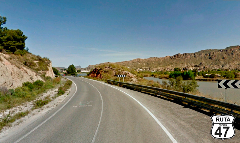
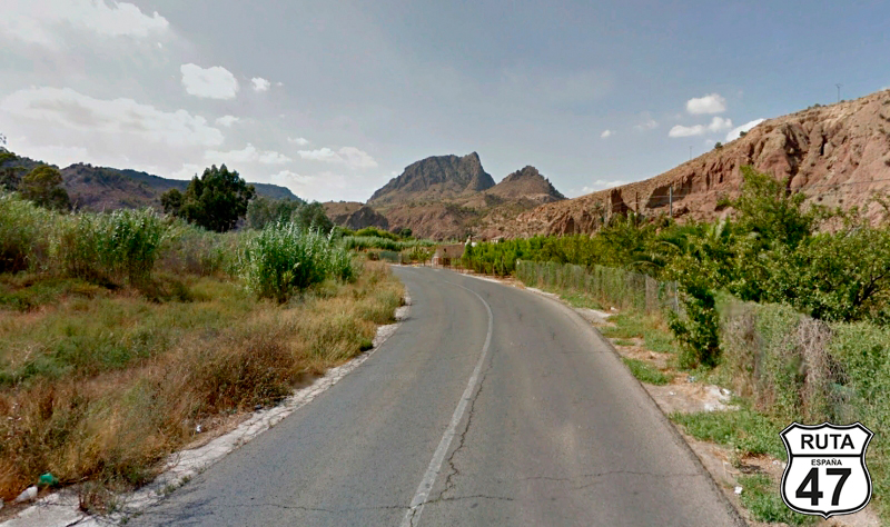
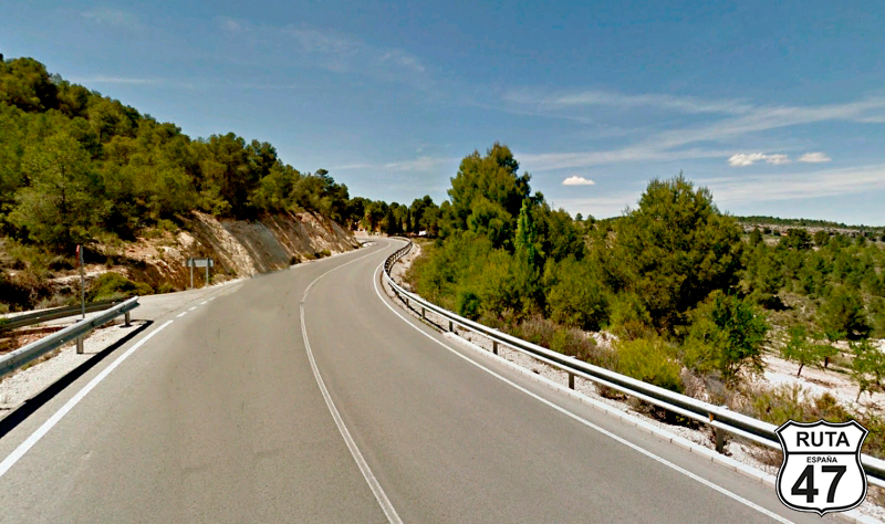
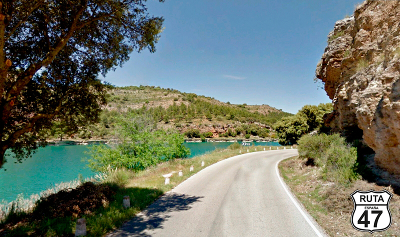
Tramo 5: Villanueva del Río Segura - Blanca (9.2 Km)
After 30 km away from populated areas, we now begin the winding sections.
In this first one, we follow one of the sides of the Segura River through a valley, tracing the whimsical course of its natural bed with the curves it entails. The road is wide and well-paved, leaving behind the town of Ojós before reaching the reservoir of the same name.
2 km later, we arrive in Blanca, where we cross the Segura River again over a narrow metal bridge, concluding this stretch on the other side of the bridge at a small roundabout where we will turn left.
Final del tramo
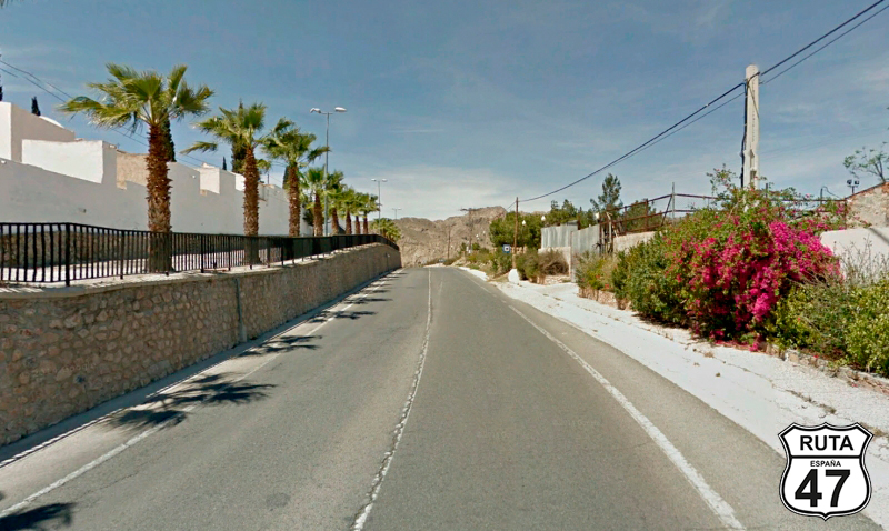
Tramo 6: Blanca - Abarán (4.8 Km)
Now following the course of the river on its other bank, we reach Abarán after almost 5 km, on good asphalt and through an open landscape, adorned at times by palm trees and other medium and small-height plants.
In the eastern part of Abarán, we arrive at a roundabout where we will take the second exit, turning left towards the urban center.
Final del tramo
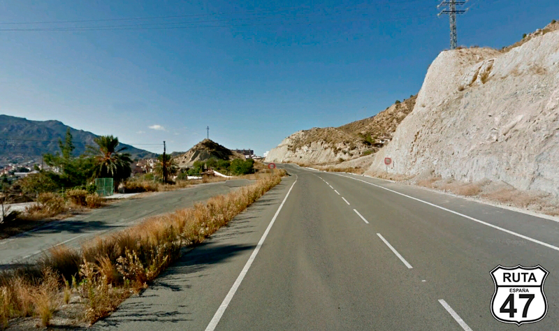
Tramo 7: Abarán - Cieza (5.8 Km)
Heading towards the urban center of Abarán but without entering it, we now head towards Cieza, on the first-level regional road MU-512.
The Segura River continues to accompany us, unseen but sensed behind a dense layer of vegetation that grows along its bank.
Navigating around a small mountain that we skirt along its slope, we reach Cieza, a town we access through a wide street leading to a roundabout where we turn left to continue straight for a while until we reach a cobblestone street.
A new right turn will take us out of this town among cobblestones.
Final del tramo
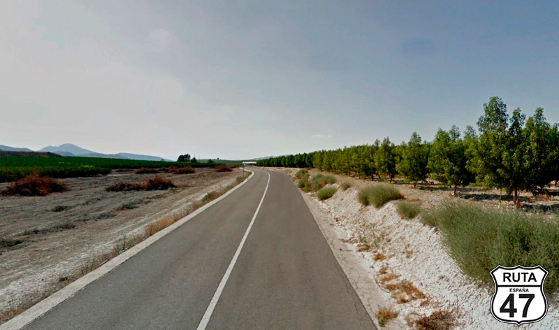
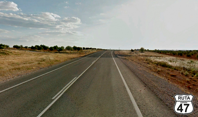
Tramo 8: Cieza - RM-714 (17.7 Km)
Heading west now, along this well-paved and straight green regional road, with a few slightly relevant curves. Over its 17 km, the landscape is very open, with mountain formations visible at a certain distance on the left side.
Rolling through cultivated fields, we reach kilometer 66 of the route, where we'll make a stop to turn left.
Final del tramo

Tramo 9: RM-714 - MU-510 (9.9 Km)
Switching roads, we now drive on this fast, wide, and well-paved first-level regional road for 10 km. At its end, we pass very close to Calasparra, taking a right turn towards Socovos and Calasparra. Immediately, we access a roundabout with a monument of the gate of the sanctuary of the Virgin of Hope, where we will take the second exit towards Socovos and Benizar.
Final del tramo

Tramo 10: MU-510 - RM-715 (8.7 Km)
Continuing our journey along this stretch on the MU-510, a wide, well-paved first-level regional road, initially passing by the residential development Cañada Verde.
After this residential area, we begin a short section of open curves among trees that lead to a straight stretch with an open landscape between cultivated fields. Following the straight, we start an ascent consisting of open curves, and at its base, we conclude the section at a yield sign pointing towards Socovos and Benizar.
Final del tramo

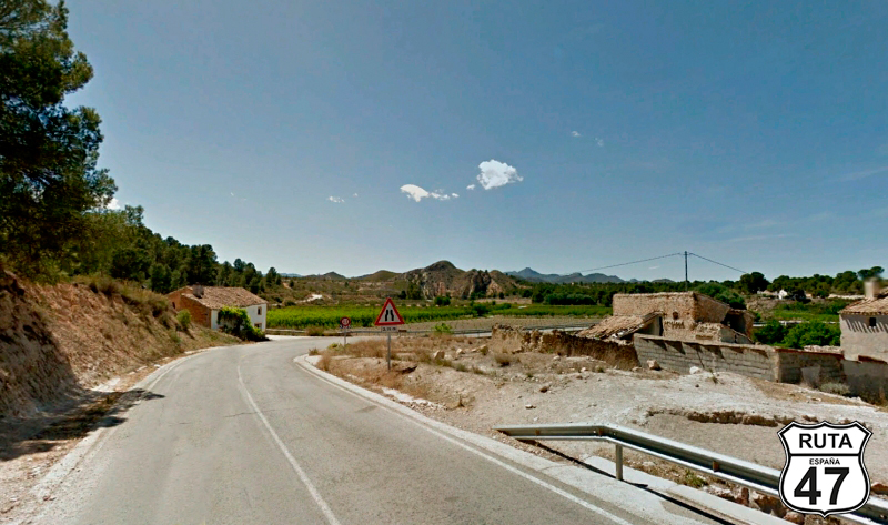
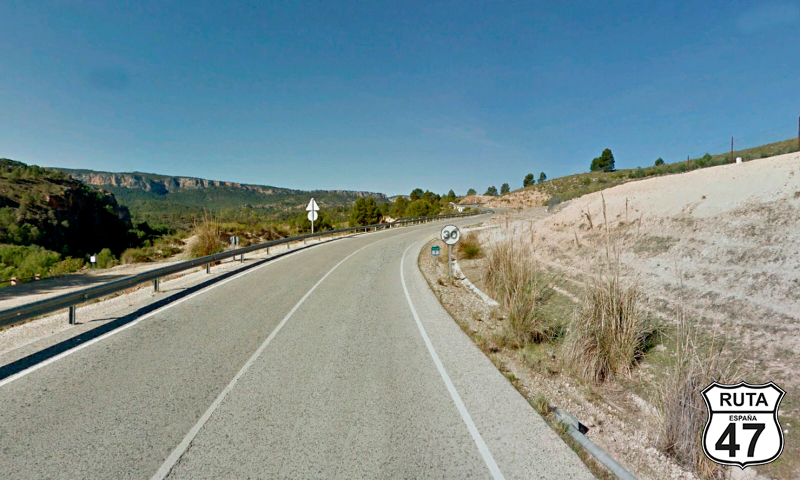
Tramo 11: RM-715 - CM-3217 (9.5 Km)
In a constant and gentle ascent, we progress along this straight green road throughout its route, except at the beginning, where we encounter some very open zigzag curves.
After almost 10 km, we change roads without realizing it, leaving behind the province of Ciudad Real to enter Albacete, the thirty-seventh province that we will explore on Route 47.
Final del tramo

Tramo 12: CM-3217 - CM-3228 (11.5 Km)
Now in Albacete and with almost 300 km ahead, we progress along this stretch with a green designation, passing through the hamlet of Tazona at the beginning.
Shortly after, we enter a wooded area with a few curves, and then through a straight stretch, we reach Socovos.
After this town and past kilometer 24, we reach a roundabout where we will take the first exit towards Ferez and Elche de la Sierra.
Final del tramo

24
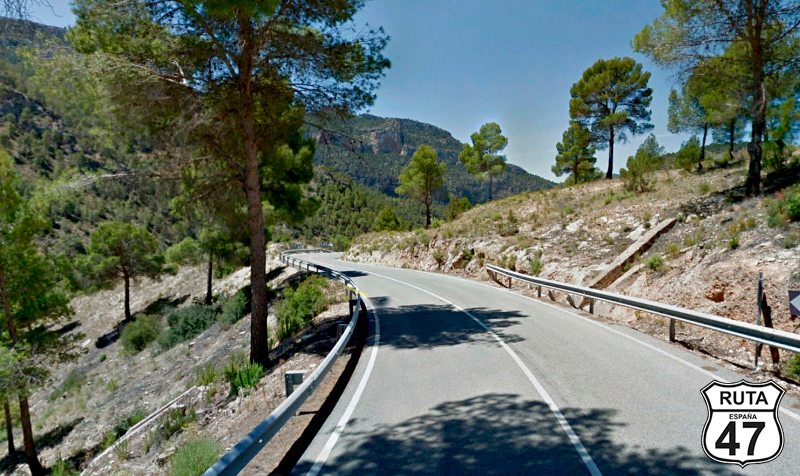
Tramo 13: CM-3228 - Elche de la Sierra (20 Km)
Now we begin the most winding stretches of this stage of Route 47, with the final destination in Ciudad Real.
After a short straight with a large left curve, we enter Férez, which we surround on its west side, continuing our route to reach Elche de la Sierra. We ascend small mounds with a well-paved surface where the presence of open curves is constant.
Before reaching the end of this stretch, we cross the Segura River on a fairly high bridge, at the end of which lies the small town of Gallego.
6 km later, we reach Elche de la Sierra, which we cross without deviating from this road, reaching a junction where we will turn right towards Lietor and Aina.
Final del tramo
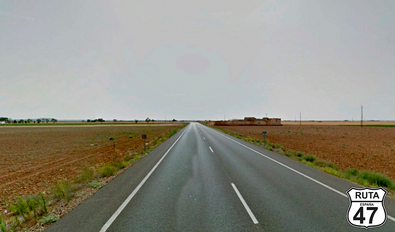
Tramo 14: Elche de la Sierra - Albacete (84 Km)
Now we embark on the longest stretch of this stage, simultaneously one of the longest on Route 47, a whopping 84 km.
This stretch will bring us to Albacete, where, taking advantage of it being the midpoint of the stage and nearing noon, we'll stop for a bite at a typical tapas spot in "La Zona."
Setting our course towards this city with a cutlery tradition, we head down the CM-3203, a road that has it all, progressing through a stretch devoid of curves until, after covering the first 15 kilometers, we begin a very winding descent with several hairpin turns (called "paellas" in biker slang). At its lowest point, we cross the Mundo River via a sober bridge. The scenery here is spectacular, and if you have time, it's worth visiting the small town of Royo Odrea, just a few meters away, accessible before the bridge and defended by the spectacular cliffs "del Prao" and "el Pico," whose view you'll enjoy even if you don't visit the village.
Shortly after, following the course of the Mundo River faithfully, we reach Ayna, and after that town, we begin another winding ascent with more "paellas" that will take us to La Sarguilla.
We'll still make a few more curves, although not as tight as the previous ones, until we reach Alcadozo, after which we'll continue for 40 km on very good asphalt until we reach the city of Albacete.
We still have 200 km to go until the end of the stage, but we can't leave this city without visiting the Pasaje de Gabriel Lodares, a spectacular historical and monumental shopping gallery, its Cathedral, which houses the world's largest canvas painted by a single person, and of course, the Cutlery Museum. All of this, enjoying some delicious tapas in "La Zona" in between.
Final del tramo
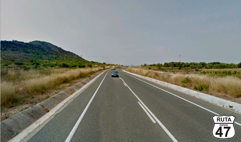
Tramo 15: Albacete - Ossa de Montiel (82 Km)
After a pleasant tourist surprise and with regret for not having more time to visit Albacete, we look for the N-430 to leave the city and continue our route towards Ciudad Real.
We cover the 82 km of this long stretch in just 60 minutes, as the first 26 km, until we reach Barrax, are completely straight. The rest remains a fast route, as the few existing curves, combined with the width and good asphalt of this national road, allow us to accelerate to the maximum allowed by traffic regulations.
Leaving behind the towns of Munera, whose castle is visible from the road, and Arroyo de Sotuélamos, we reach Ossa de Montiel, which we will cross through its center and, on its outskirts, reach a roundabout where we will take the second exit.
Final del tramo

Tramo 16: Ossa de Montiel - Ruidera (18 Km)
Although we could have continued on the N-430, as we will return to it at the end of this stretch, we have preferred to take the C-30, a third-level regional road, to enter the Lagunas de Ruidera Natural Park, which undoubtedly has a much more attractive route and landscape than the boring and straight national road.
Of the several lagoons that make up this oasis of water and vegetation located in the middle of the extensive Campo de Montiel, we can admire Las Lagunas de Taza and Redondilla, La Laguna la Lengua, La Laguna Salvadora, La Laguna Santo Morcillo, La Laguna La Balana, La Laguna de La Colgada, where we enter the province of Ciudad Real, and La Laguna del Rey. All of them are connected by a winding and very interesting landscape.
Finally, a stop where we will turn left towards La Sonana and Manzanares, located in the town of Ruidera, will bring us back to the N-430.
Final del tramo
Tramo 17: Ruidera - Manzanares (50 Km)
Moving again on the N-430, covering 50 fast kilometers, we leave behind the small town of Alhambra. In contrast, we encounter the larger towns of La Solana, Membrilla, and Manzanares. We conclude this section at a roundabout located at its entrance, where we will take the third exit towards Madrid, skirting this town located at a crossroads that connects the main routes A-43, A-4, N-310, and N-430.
Final del tramo
Tramo 18: Manzanares - Almagro (35 Km)
At kilometer 360 of the route, we now proceed on the CM-4124, which, despite being regional, has characteristics of a national road due to its width and good asphalt. We travel for 35 km, heading straight to Almagro, passing through the town of Bolaños de Calatrava. Before reaching Almagro, just 3 km from Bolaños de Calatrava, we will make a brief 10-minute stop to see Doña Berenguela's Castle.
Upon arrival in Almagro, a city declared a Historic-Artistic Ensemble, we will make the last stop of this stage to have a snack in its charming Plaza Mayor and to visit at least the Corral de Comedias, dating back to the 17th century, the only complete one from that period that still retains its original structure.
Final del tramo
Tramo 19: Almagro - CM-4127 (16 Km)
A very short distance from our final destination of the day, we leave this charming town via the CM-412. Avoiding the two-way CM-45, we pass through Pozuelo de Calatrava. Later, we will access a roundabout where we will take the second exit towards Ciudad Real.
Final del tramo
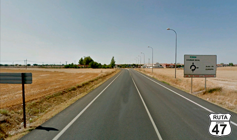
Tramo 20: CM-4127 - CIUDAD REAL (7 Km)
Finally, we embark on the last stretch of this twenty-third stage of Route 47, moving straight ahead and crossing the town of Miguelturra, practically absorbed by this provincial capital.
In the late afternoon, we arrive in Ciudad Real. After a shower at the hotel, we will head to Plaza Mayor for tapas and keep an eye on the clock. At 8:00 PM, the Carillon in the square will showcase the automaton figure of Don Miguel de Cervantes, emerging from the balcony to the sound of different melodies. It first presents Sancho Panza and then Don Quixote of La Mancha, engrossed in his reading.
Final del tramo