


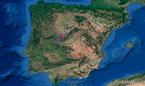
Distance 384 Km. distributed across roads of the following types:
Carreteras Nacionales: 42.3 km. Autonómicas de 1º nivel: 41.9 km. Autonómicas de 2º nivel: 192.2 km. Autonómicas de 3º nivel:96.6 km. Asfalto o cemento sin nombre: 11 km.
Sections: 29
Autor: Gérard
Descripción:
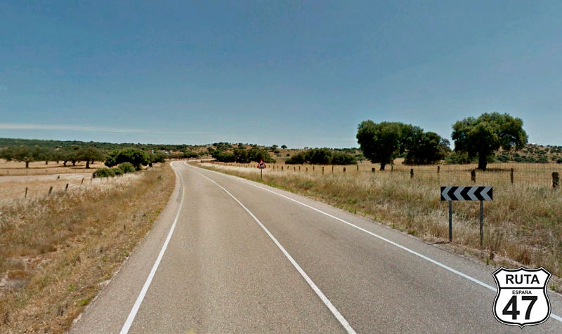
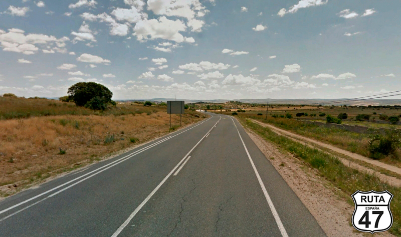
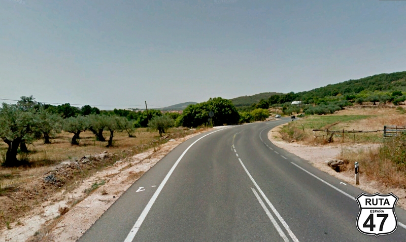
Tramo 1: SALAMANCA - DSA-150 (23.9 Km)
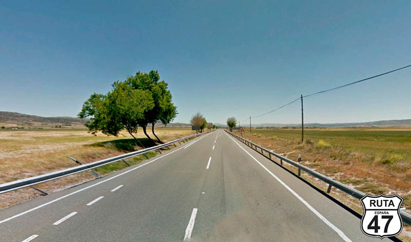
After a hearty breakfast, we leave behind the Very Noble city of Salamanca, heading southeast, crossing the Tormes River as we head to the town of Alba de Tormes on the CL-510, following a route lacking in curves.
The impressive keep tower of the Castle of the Dukes of Alba de Tormes comes into view as we enter this town after crossing the Tormes River again. We can't resist the temptation to get closer and take a close-up photograph.
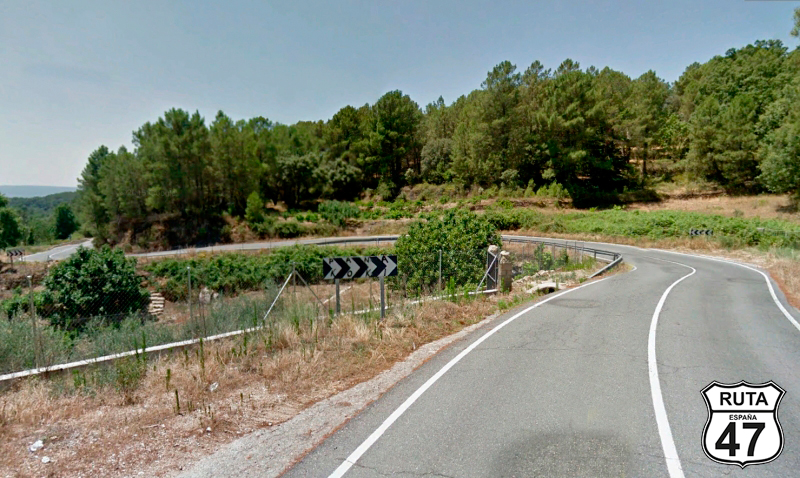
Two kilometers later, at kilometer point 20, we turn left at a give way sign towards Navales and Valdecarros.
Final del tramo

20
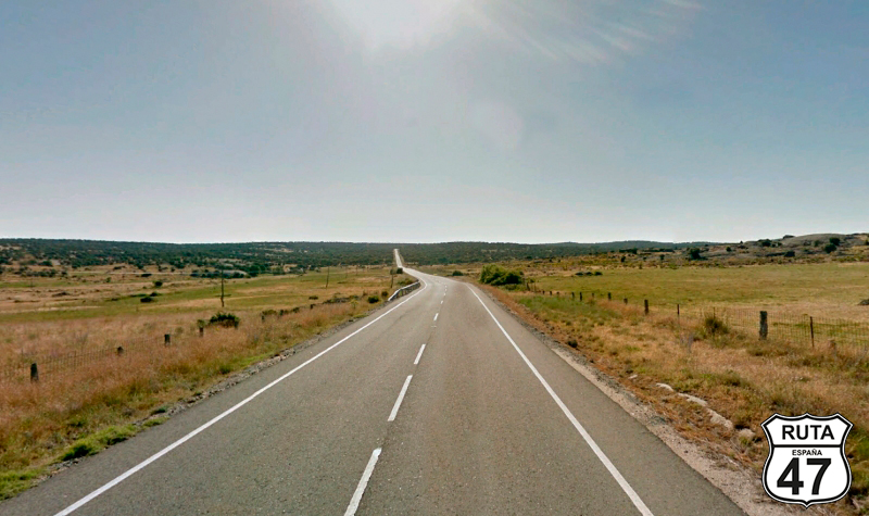
Tramo 2: DSA-150 - Alaraz (21.8 Km)
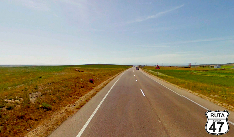
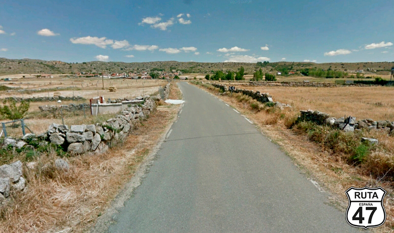
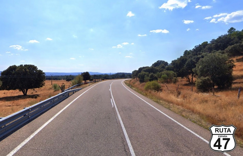
With Aralaz as the end of the stretch, we head towards this locality on the DSA-150, a third-level regional road, which, like almost all the roads in this area, lacks significant curves and is characterized by long straights running through cultivated fields.
Leaving behind the small towns of Navales, Valdecarros, Pedraza de Alba, and Gómez Velasco, we reach Alaraz, where in the western part, we come to a stop sign where we turn right towards Piedrahita.
Final del tramo

Tramo 3: Alaraz - AV-110 (3.7 Km)
We start this short stretch of only 4 km on the green SA-150, consisting of three straights and two curves at the end, which will lead us to a left turn towards Cabezas del Villar and Muñico de Ávila.
Final del tramo

Tramo 4: AV-110 - AV-P-632 (14.8 Km)
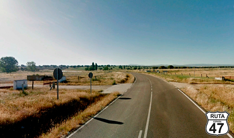
The landscape changes noticeably from here, transitioning from riding on long straights through fields to a slightly more curved route between hills with a typical Dehesas topography, where pastures and small to medium-sized trees predominate.
Because we are already in the province of Ávila, where we entered a little before the start of this stretch.
Almost at kilometer 65 of the route, on the outskirts of the town of Gallego de Sobrinos, we leave this second-level regional road with a right turn towards Hurtumpascual and Gamonal.
Final del tramo

Tramo 5: AV-P-632 - Hortigosa de Rioalmar (10.8 Km)
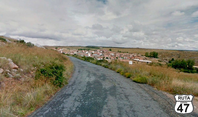
In an almost imperceptible ascent, through a narrow asphalt road, we reach Blascojimeno. After this locality, curves begin to appear as the ascent becomes steeper, especially at the end of the stretch when we reach Hortigosa de Rioalmar, where we will leave this lonely yellow road by turning right at a stop sign, towards Muñana.
Final del tramo
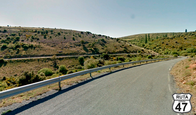
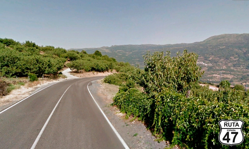
Tramo 6: Hortigosa de Rioalmar - N-110 (15.7 Km)
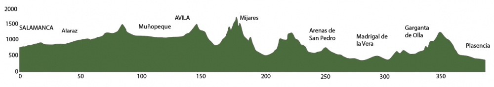
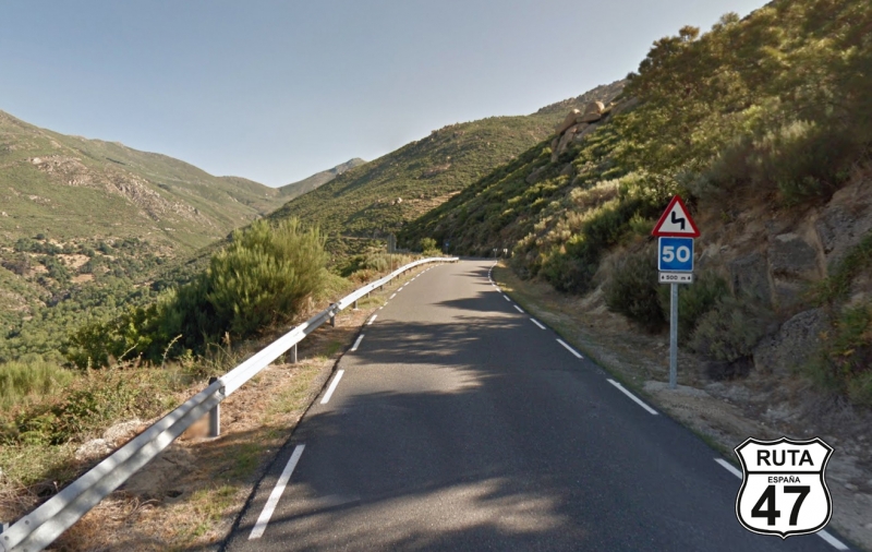
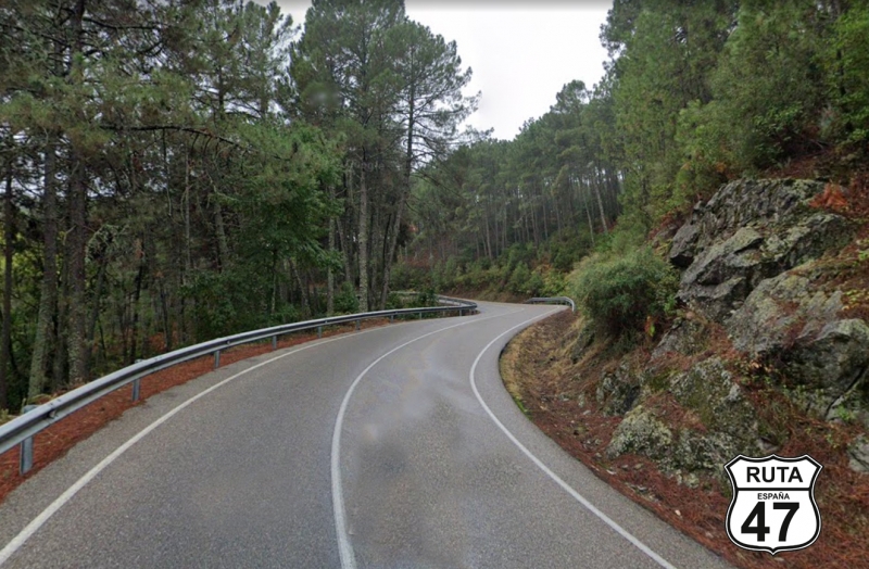
The ascent becomes steeper during the first 8 km of this stretch, and the curves are more abundant and tighter until we reach the summit of Puerto de Las Fuentes at an altitude of 1499 m.
After the summit, its corresponding descent, also curved and 8 km long, brings us to the N-110, which we will take after a stop sign, turning left.
Final del tramo
Tramo 7: N-110 - AV-P-603 (17.3 Km)
Two long straights separated by two curves that bypass the town of La Torre bring us to the end of the stretch located after PK 267.
We could continue straight on this national road to reach Avila, but as it is still early, we decide to enter this walled city by more secondary roads, taking a small detour and at the same time looking for more solitary and curved routes.
Final del tramo

267
Tramo 8: AV-P-603 - Muñopeque (2 Km)
After turning north towards Muñopeque, we advance along this narrow road until we reach this town after traveling 2 km in a straight line.
Once in this town, we head to the right in a small square with a lamppost in the middle that functions as a roundabout.
Final del tramo

Tramo 9: Muñopeque - Duruelo (3 Km)
Three more kilometers along this narrow local road with worn asphalt bring us closer, along an ascent, to the tiny town of Duruelo.
Once here, we turn to the right. You have to pay a little attention because the only indicative sign would lead us straight to Casasola, and we MUST NOT go that way.
Final del tramo
Tramo 10: Duruelo - Martiherrero (4 Km)
Heading north, we now travel on the AV-P604, in better condition than the previous local road, when after only 4 km, we reach Martiherrero. Without entering this town, we will make a stop where we will turn right towards Avila.
Final del tramo
Tramo 11: Martiherrero - N-501 (6 Km)
he walled city of Ávila is already visible in the background, which we will reach in just 4 minutes after traveling the 6 km that bring us closer to it.
At its entrance, we cross the A-51 through an overpass, arriving at a roundabout where we will take the first exit.
Final del tramo

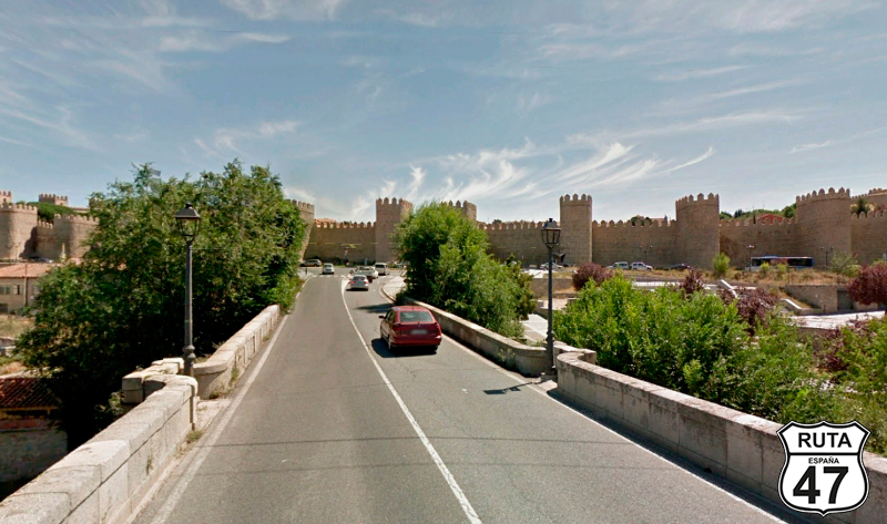
Tramo 12: N-501 - AVILA (1 Km)
Although this would be a good place to eat, it's still early. However, since we can't miss this beautiful city and its perfectly preserved wall with more than 80 semicircular crenellated towers and 9 gates, we decide to spend a good morning doing some sightseeing and grabbing a quick bite to avoid delaying ourselves too much.
We still have 225 km to ride in the afternoon, and there's a lot to see and curve.
Final del tramo
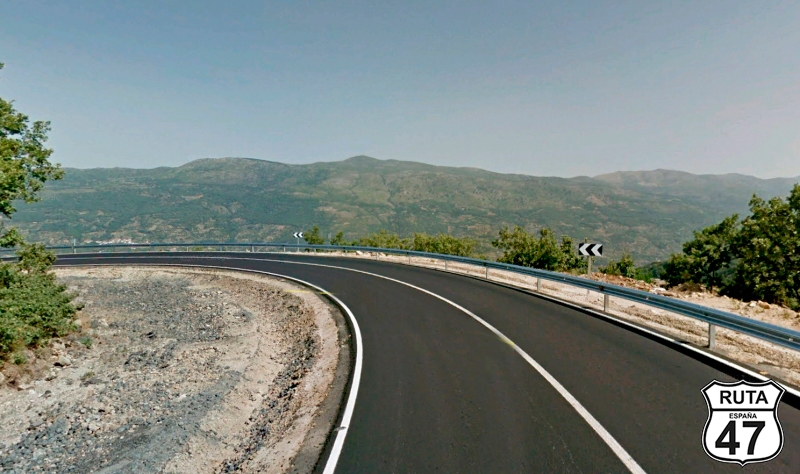
Tramo 13: AVILA - Burgohondo (36 Km)
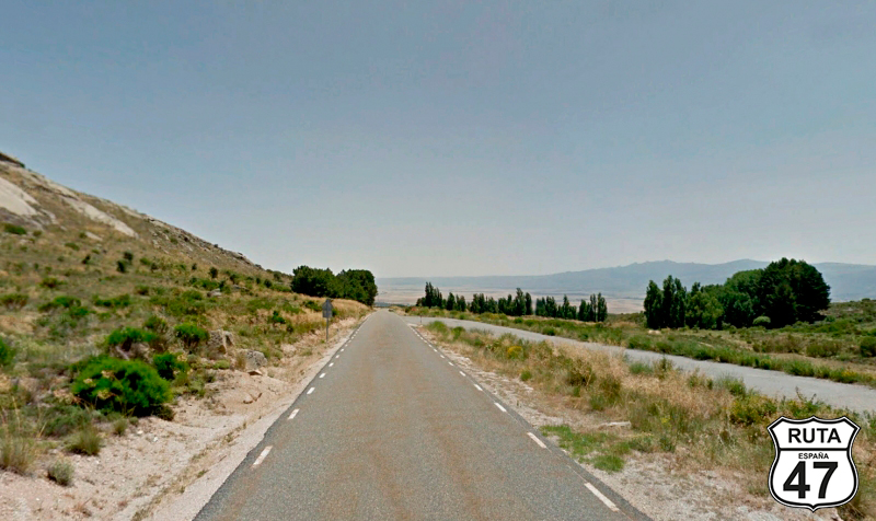
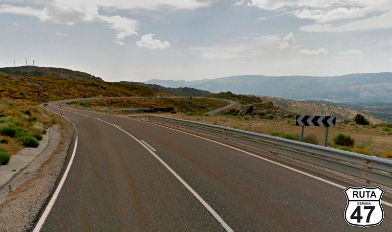
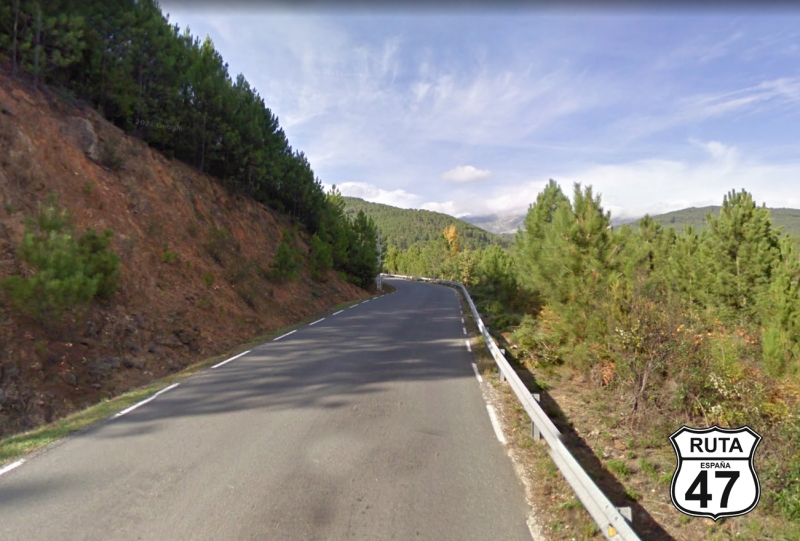
After visiting the old and walled part of this charming city, we leave it heading south on AV-900. The first 10 km are a straight line until we reach the Sierras de la Paramesa and Serrota, where a series of open zigzag curves begin to appear.
Shortly after, we reach the summit of Puerto de Navalmoral, located at 1514 meters above sea level, where we start a well-paved and curved descent that takes us to Burgohondo. There, without realizing it, we change roads to head towards Villanueva de Ávila and Mijares.
Final del tramo
Tramo 14: Burgohondo - Mijares (27 Km)
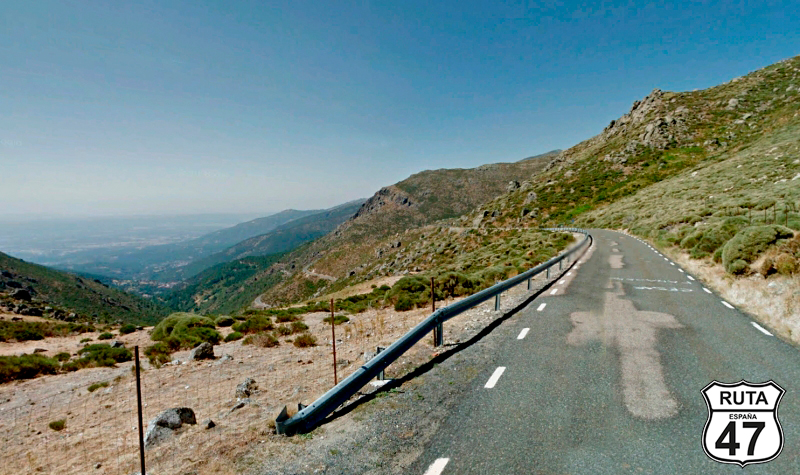
Exiting Burgohondo, we enter a terrain of curves on this beautiful regional road that will take us to Mijares. At its highest point, we reach the summit of Puerto de Mijares, located at 1570 meters above sea level. The landscape here is spectacular, allowing us to appreciate the winding path that will take us to the end of the stretch, where the view stretches into the horizon.
Final del tramo
Tramo 15: Mijares - CL-501 (8 Km)
In Mijares, we join a cement track that turns into an asphalted local road as we leave this town and will take us to Gavilanes, located 3 km away. We continue along curves until we reach a T-shaped junction where we turn right after a stop.
Final del tramo
Tramo 16: CL-501 - AV-922 (9 Km)
We continue for 4 km on CL-501 along a fast, well-paved, and fairly straight route. A few meters before the end of the stretch, where we will turn right towards Pedro Bernardo, we will reach a gas station, a place where we can take the opportunity to fill the motorcycle tank again. We have already covered 204 km of the route, and we still have 180 km to go. If we refuel here, we will reach our destination for the day without any issues.
Final del tramo

Tramo 17: AV-922 - San Esteban del Valle (27 Km)
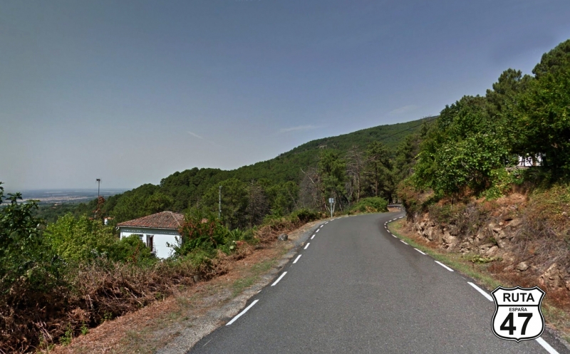
Leaving behind the wide CL-501, which we will connect with later, we are now heading north on the green AV-922 in an ascent that takes us to Pedro Bernardo. After passing this town, we continue ascending through winding roads on a narrow and well-maintained asphalt. The landscape is breathtaking, rolling along the mountain slope with excellent views on the left, where the Sierra de Gredos is already visible, and we will soon enter it.
Around kilometer 220 of the route, we reach the summit of the Pedro Bernardo pass. Here, we begin the descent, just as winding as the ascent, which will take us to the town of San Esteban del Valle, where this section ends. Crossing this town on its main road, we reach a junction where we will turn left towards Santa Cruz del Valle, located just 2 km away.
Final del tramo

Tramo 18: San Esteban del Valle - N-502 (6 Km)
We leave San Pedro del Valle on a road as good and narrow as the one that brought us here, and a little before reaching Santa Cruz del Valle, we enter fully into the Sierra de Gredos. After a couple of tight curves, we reach a stop sign where we will turn left towards Talavera and Arenas de San Pedro.
Final del tramo

Tramo 19: N-502 - AV-923 (1 Km)
We now tackle the shortest section of the route, only 1.3 km long, which, traveling on the N-502, serves as a link to connect with the AV-923 towards Arenas de San Pedro.
Final del tramo

Tramo 20: AV-923 - Arenas de San Pedro (7 Km)
The winding ascent through dense landscape leads us to the beginning of the descent, where the town of La Parra comes into view. Shortly after, we make a mandatory stop in Arenas de San Pedro, where you can see the beautiful castle of Condestable Dávalos, the Palace of Infante D. Luis de Borbón y Farnesi, the Medieval Bridge Aquelcabos, the Jurisdictional Pillory, and, even better, the Tourist Office where you can stamp your passport for La Ruta 47.
Having added another stamp to our precious La Ruta 47 passport and just upon reaching the castle, a junction indicates that Guisando is to the right. We take that direction, incorporating ourselves into section 21.
Final del tramo
Tramo 21: Arenas de San Pedro - AV-924 (12 Km)
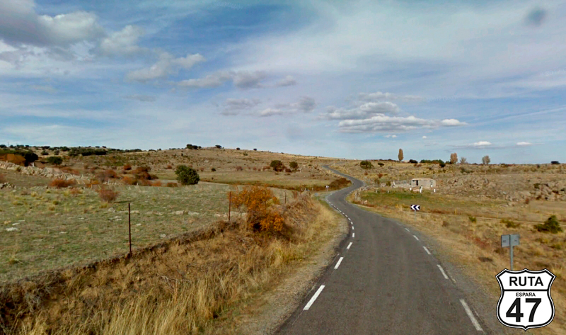
Shortly after starting this stretch, with Arenas de San Pedro still in sight, we pass by the reservoir of the Río Cuevas and begin to ascend in a northwest direction on a very motorcycle-friendly road, with a narrow and well-paved surface.
After passing a sign indicating the proximity of a campsite, we start the descent with good views that will bring us to Guisando, where we will make a left turn to continue through the Sierra de Gredos in a southerly direction.
After 7 enjoyable kilometers, we reach a stop sign where we will continue straight ahead towards Plasencia.
Final del tramo

Tramo 22: AV-924 - CL-501 (15 Km)
As we progress along the AV-924, the curves become more open, a sign that we will soon be leaving the Sierra de Gredos. We leave behind the towns of Poyales del Hoyo and Candeleda. After passing the latter, we once again connect with the CL-501, which we had traveled on earlier.
Final del tramo

Tramo 23: CL-501 - Madrigal de la Vera (9 Km)
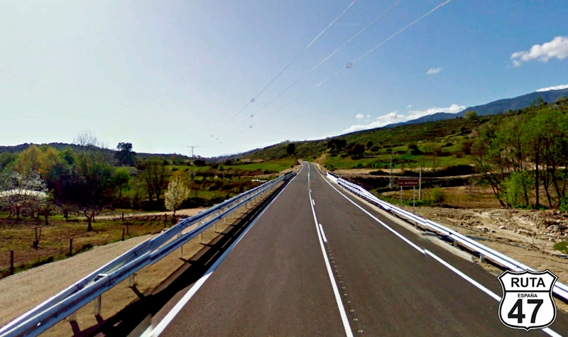
Now we proceed along this first-level regional road, bordering the Sierra de Gredos, which will take us to the town of Madrigal de la Vera, entering the Extremadura region through the province of Cáceres. The boundary is crossed when we pass over the Garganta de Alardos River, just before reaching this town, which we will access in about 5 minutes.
Final del tramo
Tramo 24: Madrigal de la Vera - Cuacos de Yuste (40 Km)
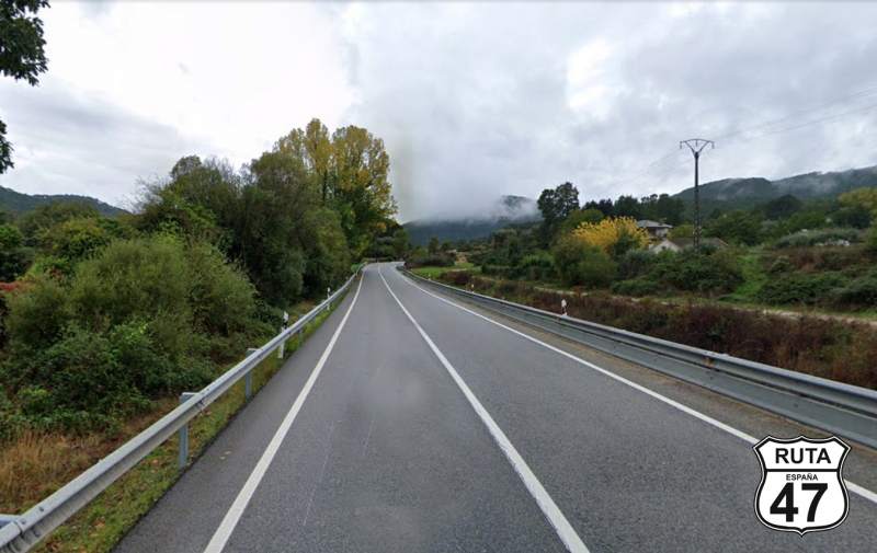
Leaving behind the town of Madrigal de la Vera, we advance along this relatively fast Extremaduran regional road composed of rather open curves until we reach Villanueva de la Vera, where the curves become more pronounced before changing roads after traveling 40 km that will bring us to Cuacos de Yuste.
Almost at the end of the town, we turn right towards the Monastery of Yuste, another place of interest that we cannot miss.
Final del tramo
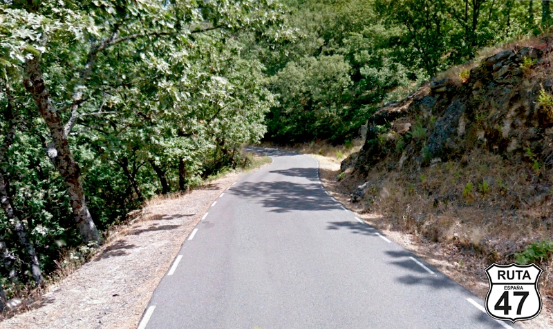
Tramo 25: Cuacos de Yuste - Garganta la Olla (10 Km)
We don't have to deviate from our route, as we sometimes do, to visit a monastery since 2 km after starting this section, we pass by the Monastery of Yuste, where we will make a brief stop to visit this monastery, which is also a palace where Charles I of Spain stayed and died.
8 km later, and after crossing the Garganta Mayor River, we reach the town of Garganta la Olla, where we will turn right towards the municipal swimming pools of this locality.
Final del tramo

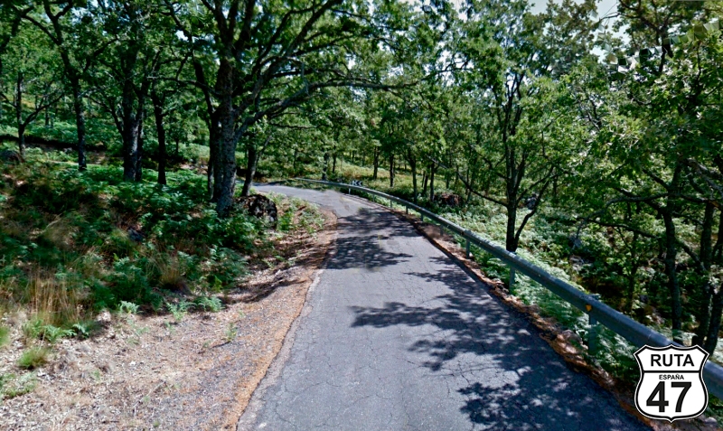
Tramo 26: Garganta la Olla - Piornal (16 Km)
The road we're currently on is very winding, narrow, and quite well-paved. Its layout consists of countless curves among trees, with several being hairpin turns.
At the summit of the ascent, the asphalt widens considerably, and horizontal signage begins to appear as we reach Piornal.
Final del tramo

Tramo 27: Piornal - CC-175 (6 Km)
Crossing Piornal halfway, we start a winding and sinuous descent in which, after covering 6 km, we change roads without turning in any direction towards Valdastillas.
Français: Nous traversons Piornal à mi-chemin et entamons une descente sinueuse et sinueuse au cours de laquelle, après avoir parcouru 6 km, nous changeons de route sans tourner dans aucune direction vers Valdastillas.
Final del tramo
Tramo 28: CC-175 - N-110 (8 Km)
Looking for the N-110 that will take us to the end of this stage located in Plasencia, we tackle the last curved stretch of today in a descent composed of tight curves until we reach Valdastillas.
Final del tramo
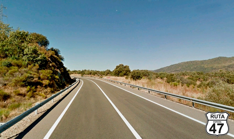
Tramo 29: N-110 - Plasencia (23 Km)
We are now in the Jerte Valley, declared a cultural heritage site since 1973 and famous for the spectacle offered by countless cherry blossoms around Easter, roughly between March 20th and April 10th. If you travel the Route 47 during these dates, it's worth deviating to the town of Navaconcejo to admire this blooming spectacle you won't find anywhere else in the world.
We traveled this route in May, so with great regret for missing it, we continue on this fast national road that will lead us straight to the beautiful town of Plasencia, where we will arrive in 15 minutes in the company of the Jerte River.
Final del tramo