


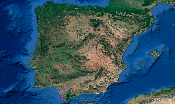
Distance 266 Km. distributed across roads of the following types:
Autopistas y autovías: 59 km. Carreteras Nacionales: 65 km. Autonómicas de 2º nivel: 30.7 km. Autonómicas de 3º nivel:105.3 km. Asfalto o cemento sin nombre: 6 km.
Sections: 21
Autor: Gérard
Descripción:

Tramo 1: SEVILLA - A-471 (41 Km)
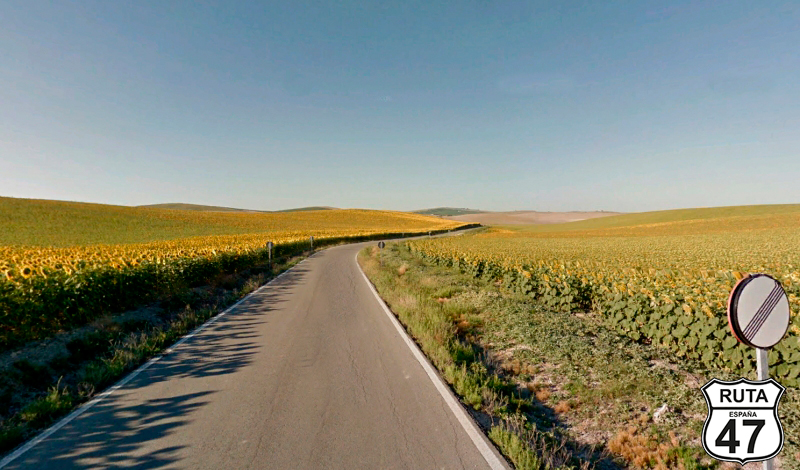
With the motorcycle's trip meter reset to zero, we sadly bid farewell to the Sevillian capital, setting the end of today's stage in Tarifa, province of Cádiz, where the southernmost point of the Iberian Peninsula is located: an islet called La Punta de Tarifa or "Marroquí." Of course, we will try to reach there and immortalize the moment with the corresponding snapshot. With this, we will have visited the four Spanish cardinal points of the Iberian Peninsula, and only three stages remain to complete Route 47.
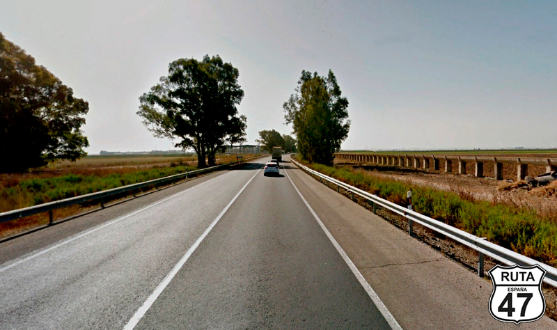
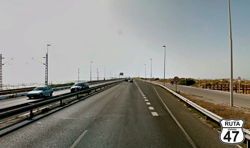
So, without further delay, under the morning sun's rays and consistently heading south throughout this stage, we leave Seville behind, taking the N-IV and avoiding the A-4, which we prefer less.
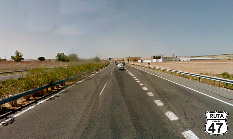
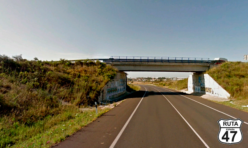
We continue to see houses until after Dos Hermanas, a locality after which we will cross the A-4 via an overpass, to reach Los Palacios y Villafranca shortly after, which we will bypass to the west.
After crossing the A-4 again via another overpass and passing PK 579, we change roads by turning right towards Lebrija.
Final del tramo

579

Tramo 2: A-471 - A-8151 (30.7 Km)
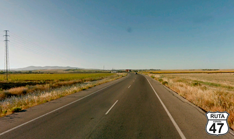
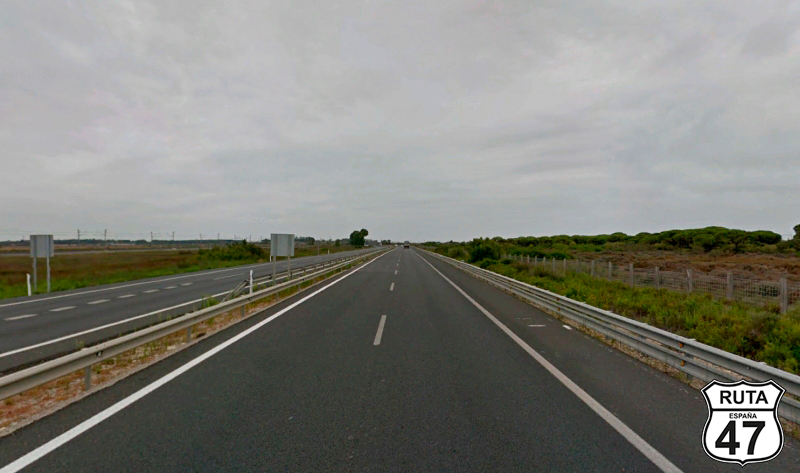
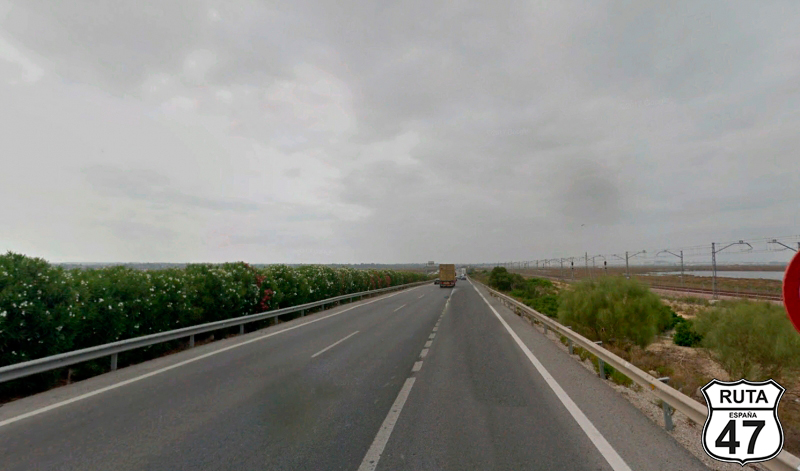
After merging onto the A-471, a second-level regional road, well-paved and with few curves, all of them open, we head along its almost 31 km towards Lebrija.
After covering 11 km of the stretch, we reach the vicinity of Cabezas de San Juan, a locality that, although we could cross through its center, we prefer to bypass by taking the second exit in the roundabout we encounter, continuing towards Lebrija.
19 kilometers later, we bypass Lebrija on its east side, and right at kilometer point 29, we exit this third-level regional road towards El Cuervo.
Final del tramo
29
Tramo 3: A-8151 - El Cuervo de Sevilla (6.6 Km)
At the beginning of this stretch, we reach a roundabout that gives us the option to enter Lebrija, continue on the road we just left, or head towards El Cuervo. We choose the third option, and after passing under a road bridge, we access another roundabout where we will take the first exit, always heading towards El Cuervo.
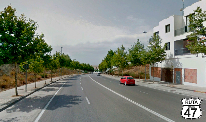
Rolling on a straight road, between cultivated fields on both sides, we arrive at El Cuervo de Sevilla, where in its center, we will turn right towards Jerez at a crossroads with a traffic light.
Final del tramo

Tramo 4: El Cuervo de Sevilla - CA-3103 (4 Km)
5 meters after passing the sign announcing the end of the town of El Cuervo, we encounter the typical green sign indicating the entrance to a new province. We are now in Cádiz.
We continue through the land of Cádiz via the N-IV, turning right after kilometer point 619, located past two characteristic silos on the right side of the road.
Final del tramo

619
Tramo 5: CA-3103 - A-4 (17.7 Km)
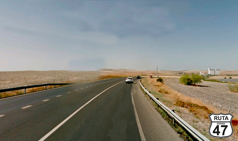
The CA-3103 is the kind we like: a third-level regional road, which implies narrowness, low traffic, and well-paved surface. If it's very winding, even better. Although that's not the case, we still enjoy riding with the helmet open at a prudent speed, savoring the smells and feeling the wind on our face. A genuine pleasure that will take us to kilometer 100 of the stage, located in the vicinity of Jerez de la Frontera.
Here, we will change roads by joining the A-4 towards Cádiz, at a roundabout where we will take the second exit.
Final del tramo

Tramo 6: A-4 - CA-32 (20 Km)
With great regret for not being able to visit this biker-friendly city of Jerez de la Frontera due to lack of time, and with the promise to return someday, we skirt around it on the A-4, which takes us to exit 655 towards Cádiz in about 15 minutes, located just after crossing the San Pedro River.
Final del tramo
655
Tramo 7: CA-32 - CA-35 (4 Km)
Connecting one fast stretch with another, we now travel for 4 km on the CA-32, consisting of a long straight preceded by a very open left curve.
After kilometer point 4, we leave this road at an exit towards Cádiz.
Final del tramo
4
Tramo 8: CA-35 - Cádiz (12 Km)
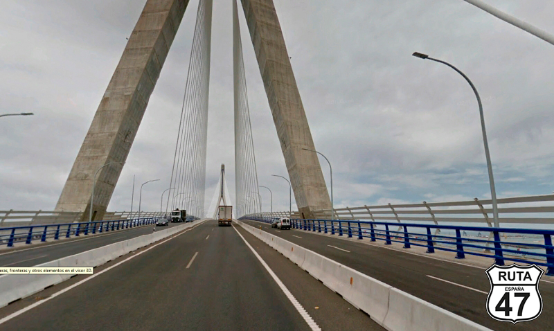
Now in the vicinity of Cádiz, we continue on the also fast and divided CA-35, which will take us to this beautiful city crossing a large bridge that spans the Bay of Cádiz.
We're halfway through the route, and although it's still early, we're going to make a longer-than-usual stop to visit the Tourist Office to stamp the Route 47 Passport, have some marinated dogfish, and, as recommended by the Tourism Office staff of this charming city, take two tourist routes: The purple one, a one-hour walking route titled "Cargadores a Indias," and the Orange one, which will show us the most beautiful areas for walks by the sea, viewpoints, and castles.
Final del tramo
Tramo 9: Cádiz - A-48 (20 Km)
After a delicious coffee on a terrace in the historic center of Cádiz, we take the CA-33 and head towards Tarifa, the city of wind, a paradise for surfers and kite surfers.
With the Bay of Cádiz on the left and the Atlantic on the right, we advance in a completely straight line for 8 km until another straight followed by a left curve takes us to San Fernando. From there, we will continue straight towards Chiclana, Algeciras, and Málaga, switching from the CA-33 to the A-48.
Final del tramo

Tramo 10: A-48 - CA-9001 (3 Km)
3 more kilometers on the fast track take us to Exit 3 towards Chiclana de la Frontera.
Final del tramo
3
Tramo 11: CA-9001 - Vecinal (14 Km)
Through a landscape saturated with civilization, where we encounter 7 roundabouts and continue straight, we turn right towards Fuenteamarga, and 500 meters later, we make a new left turn entering a cobblestone square with a small roundabout in the middle.
Moving forward a few meters and almost out of Chiclana, we reach the Vinos de Chiclana Roundabout, adorned with a sculpture of a wine glass and a venencia.
Six roundabouts later, where we will continue towards Málaga, will lead us to another roundabout located at the beginning of a golf course, where we will take the third exit, also towards Málaga.
Final del tramo

Tramo 12: Vecinal - N-340 (6 Km)
Now we advance for 6 km on this local road called Carretera de la Torre del Puerco, which takes us further away from the beach and is too wide to be of this type.
After a long straight stretch, we join the next section by turning right at a yield sign.
Final del tramo

Tramo 13: N-340 - CA-2145 (6 Km)
We now begin to ride on the N-340, a road that we will leave several times to rejoin it after taking some detours on secondary roads. If it's getting late for you, you could continue straight until you reach Tarifa.
It's not our case, and we always prefer secondary roads. So, after riding 6 km on it in a straight line to the south, we turn right after kilometer point 22 to head towards Conil de la Frontera.
Final del tramo

22
Tramo 14: CA-2145 - Conil de la Frontera (2 Km)
After two roundabouts where we continue straight, now in Conil de la Frontera, we access a third one where we will take the third exit, beginning to circle this tourist town.
Two more roundabouts where we will continue towards Los Caños de Meca and Barbate take us out of Conil de la Frontera.
Final del tramo

Tramo 15: Conil de la Frontera - Barbate (24 Km)
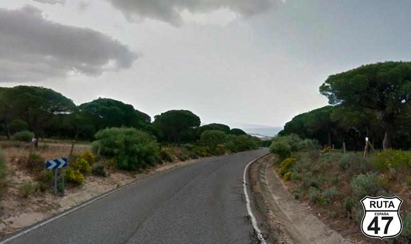
Parallel to the coast and through a completely open landscape where the sea is visible in the distance, we arrive at El Palmar, a coastal rural nucleus belonging to the charming municipality of Vejer de la Frontera, further inland, which unfortunately we won't visit on this trip.
Shortly after passing Zahora Beach, we reach Los Caños de Meca, where we pass so close to the beach that it makes you want to stop for a swim.
At the exit of Los Caños de Meca, we enter the Natural Park of Breña and Marismas Barbate, one of the smallest natural parks in Andalusia where up to five different ecosystems are distinguished: marine, cliff, pine forest, marshes, and dune systems. The impressive Tajo de Barbate stands out, with over 100 meters in height, making it the most notorious cliff on the Andalusian Atlantic coast. To access it, you have to walk 3 km along a pedestrian path, but the walk and the views are worth it.
In a descent with the beach in the background, we reach Barbate, from where we will leave crossing the Barbate River, heading towards Zahara de los Atunes.
Final del tramo
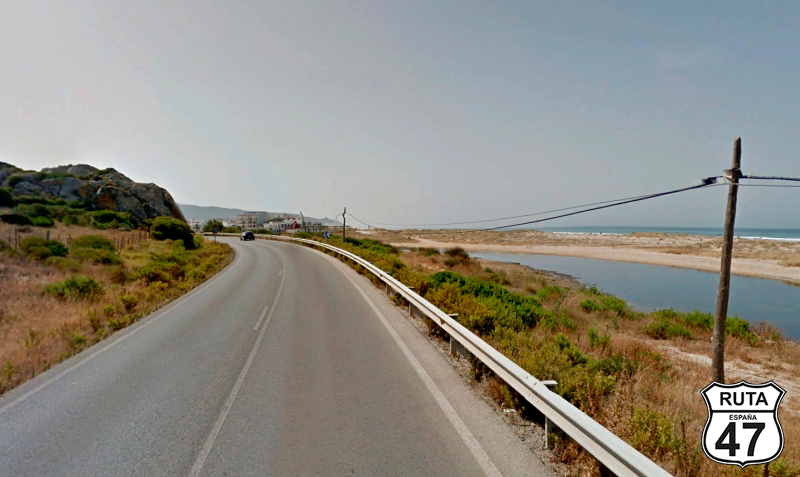
Tramo 16: Barbate - Zahara de los Atunes (10 Km)
Once again, along the coast with beautiful views of the sea on the right, we head towards Zahara de los Atunes, where we will arrive after covering 10 km on this well-paved coastal road. We will pass by Zahara de los Atunes after entering a roundabout, taking the second exit towards Tarifa and Algeciras.
Final del tramo
Tramo 17: Zahara de los Atunes - N-340 (10 Km)
After turning left and leaving Zahara de los Atunes behind, we tackle the only stretch of this stage that will take us northward for 10 km. During this stretch, we will reach the small urban nucleus of La Zarzuela with a gentle curved ascent, and then continue towards a yield sign heading to Tarifa and Algeciras.
Final del tramo
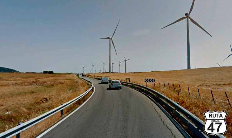
Tramo 18: N-340 - CA-7200 (10 Km)
We meet again with the N-340 in this 10 km stretch where we pass through a wind farm, leaving behind the urban nucleus of Tahivilla. After kilometer point 65, we turn left towards Facinas.
Final del tramo

65
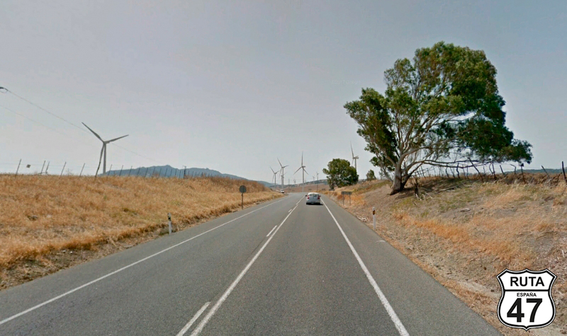
Tramo 19: CA-7200 - CA-9210 (4 Km)
After leaving the N-340 again to take one last detour before reaching our final destination for the day, we now ride on the narrow CA-7200, skirting the town of Facinas, which we reach shortly after starting this short stretch of 4 km.
The wind on the face, combined with another wind farm in the background, reveals that this is a windy area.
At kilometer 245 of the route and only 21 km from Tarifa, we turn right towards the Sanctuary of Our Lady of the Light.
Final del tramo
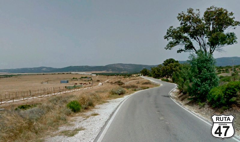
Tramo 20: CA-9210 - N-340 (17 Km)
We have just entered the southwest part of the Los Alcornocales Natural Park, which boasts the largest cork oak forest in the world.
Through it, following a winding path, we reach a T-shaped intersection where we will turn right towards Algeciras to join, for the last time, the N-340.
We are now at the gates of Tarifa.
Final del tramo

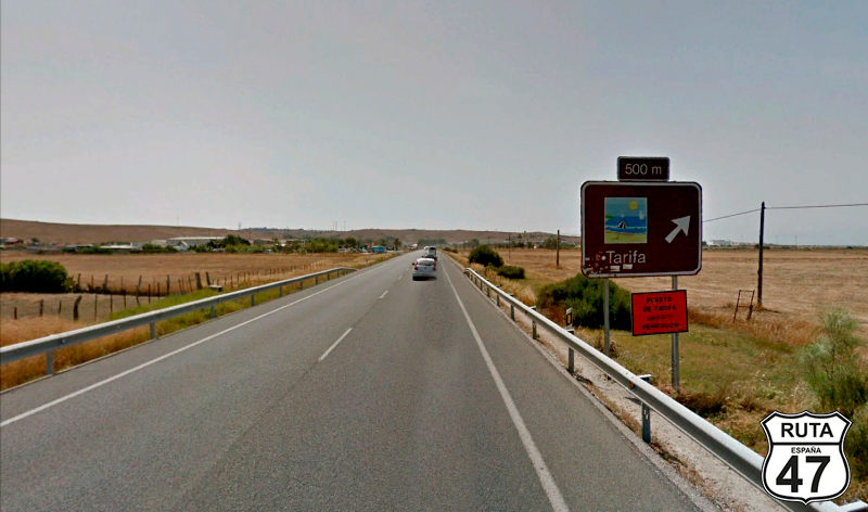
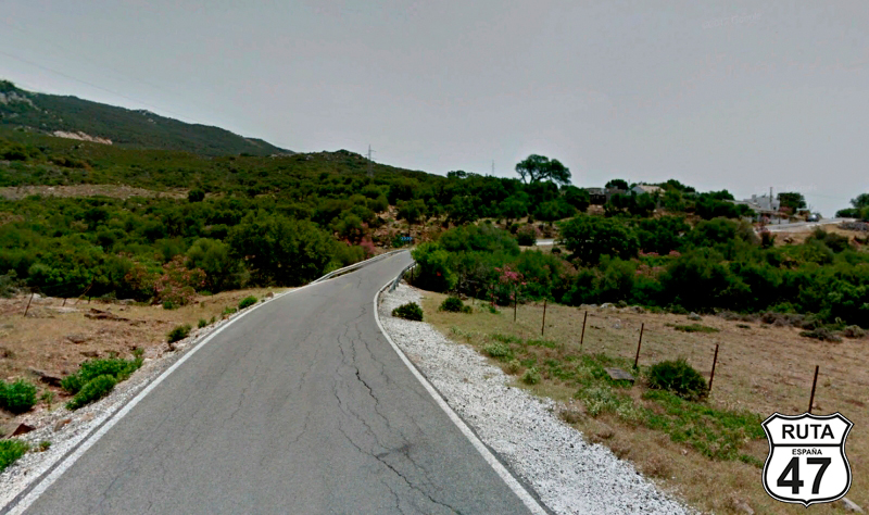
Tramo 21: N-340 - Tarifa (4 Km)
Although today's stage is not by far the longest, we're eager to reach our destination. With a desire to rest and, above all, to visit the southernmost point of the Iberian Peninsula located at Punta de Tarifa or Punta Marroquí, which can only be accessed with the proper permission from the municipality, we arrive in Tarifa.
Throughout the day, we've been tempted several times to take a dip in the Atlantic. This is the moment.
Final del tramo