


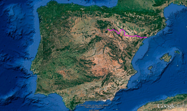
Distance 500 Km. distributed across roads of the following types:
Autopistas y autovías: 57 km. Carreteras Nacionales: 118.2 km. Autonómicas de 1º nivel: 136.5 km. Autonómicas de 2º nivel: 69.8 km. Autonómicas de 3º nivel:118.5 km.
Sections: 29
Autor: Gérard
Descripción:
Tramo 1: SORIA - CL-101 (30.2 Km)
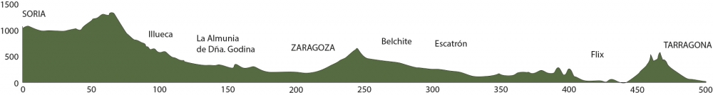
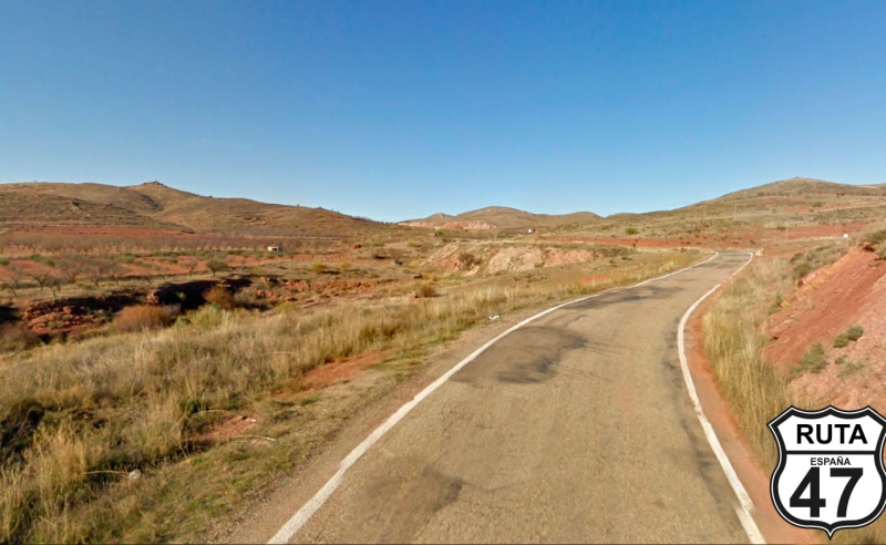
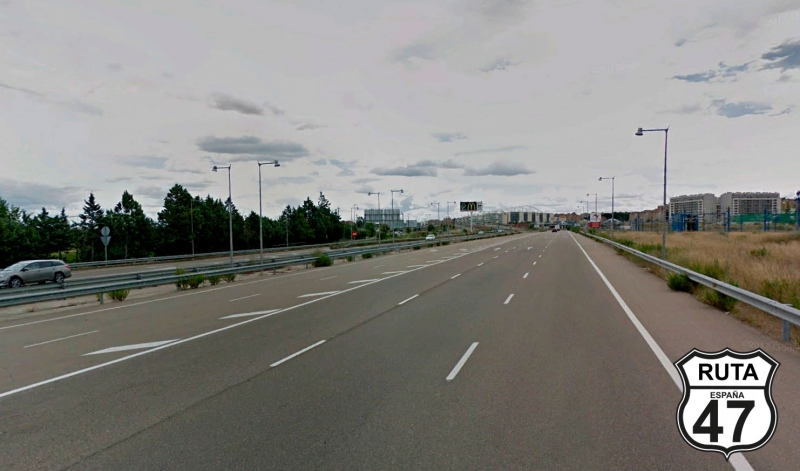
Today we have almost 500 km ahead, so we leave SORIA on a fast road seeking curves, with the Mediterranean as our final destination.
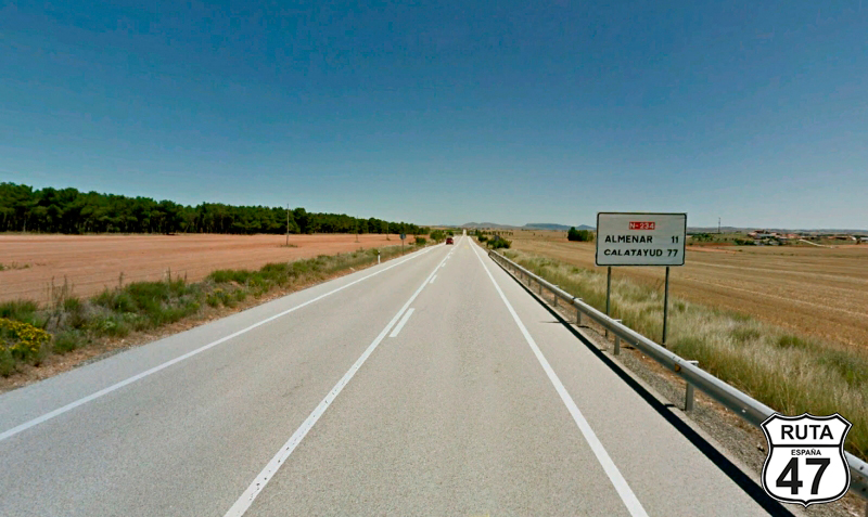
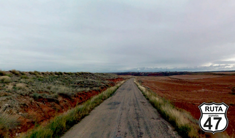
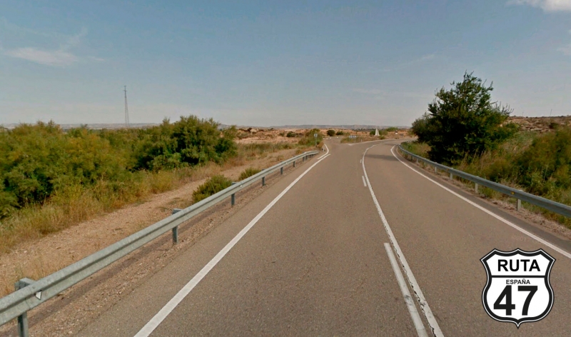
We choose the N-234 to leave the capital of Soria and head west. Initially, there are some open curves, but soon we tackle a long straight of 24 km, which we can use to warm up the tires a bit.
After kilometer point 322, we take a detour towards Ágreda.
Final del tramo

322
Tramo 2: CL-101 - SO-P-2126 (19.5 Km)
After a slight ascent with a paella, we join the third-level regional road CL-101, crossing the previous national road via an overpass to head to more mountainous terrain, leaving behind the towns of Jaray and Noviercas.
With almost 50 km covered, we leave the CL-101 to join the third-level regional road SO-P-2126, marked in this area with purple color, heading towards Cueva de Ágreda and Beraton.
Final del tramo

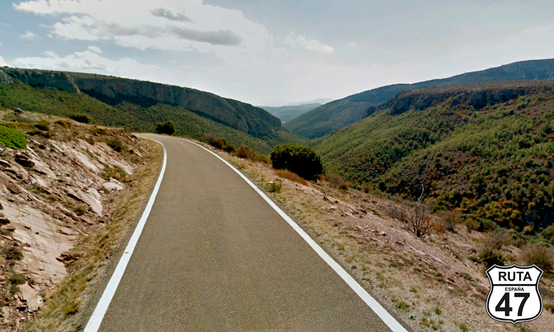
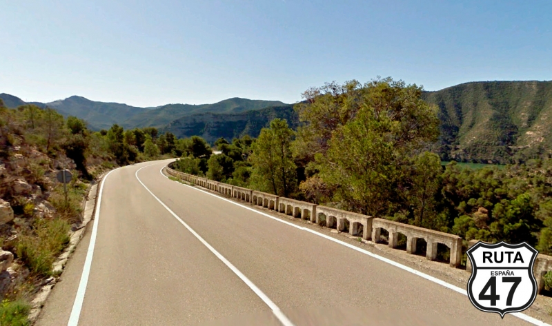
Tramo 3: SO-P-2126 - CV-630 (19.9 Km)
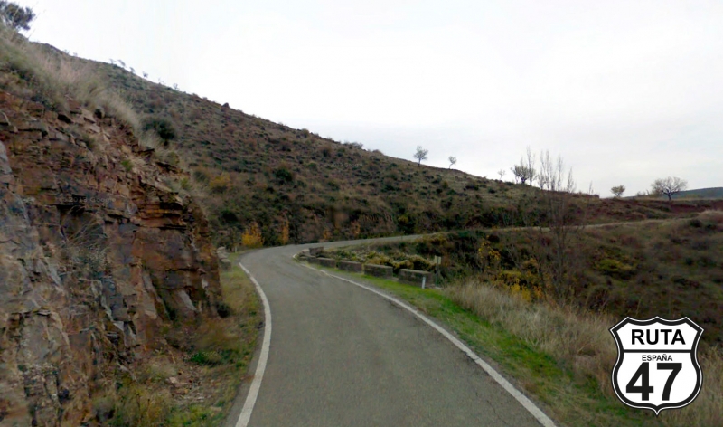
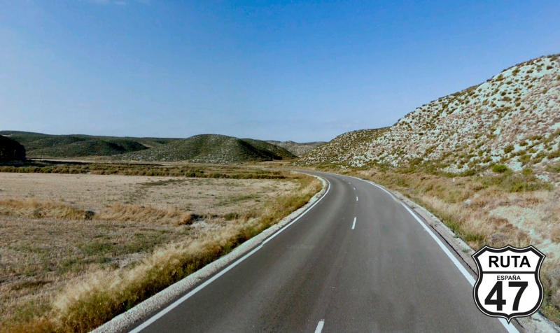
The first kilometers of this stretch will be on a fairly straight route with well-maintained asphalt. In the distance, you can see the mountains we will soon pass through, and it's starting to look promising.
Upon entering Cueva de Ágreda, we make a 90º turn and continue on the same road. From here, the landscape becomes greener, and we start rolling through the southwest part of the Moncayo Natural Park.
As we progress, the route becomes more and more curved, reaching its climax 5 km from the end of the stretch, where we descend with many twists through a truly beautiful landscape. Shortly after, we leave the province of Soria and start riding through the Autonomous Community of Aragón, specifically in the province of Zaragoza.
Final del tramo

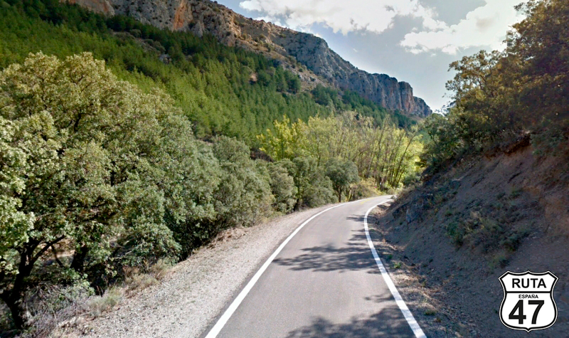
Tramo 4: CV-630 - A-2302 (9 Km)
In constant company of the Isuela River, we immerse ourselves fully into the Moncayo Natural Park along this road marked with a yellow sign.
We travel through a valley following the course of the river, which we will hardly see, ensuring us a series of curves, until shortly before reaching Calcena. There, we come to a crossroads where we must turn right towards Oseja.
Final del tramo

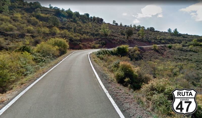
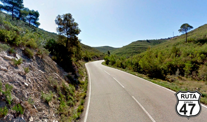
Tramo 5: A-2302 - A-1503 (12.6 Km)
We begin this stretch of 12 and a half kilometers by crossing the Isuela River with the beautiful view of rocky cliffs ahead as we ride on a narrow and well-maintained asphalt.
The cliffs accompany us in the first kilometers, and then the landscape opens up, but the curves continue as we ascend to the highest part. The view here is beautiful as we start the descent that will take us to Oseja after riding 9 km from the beginning of this stretch on a road with good visibility in the curves, partly due to the absence of large trees.
Without entering Oseja, we continue for another 4 km to reach the stop that marks the end of this well-paved stretch. A sign anchored to a small building indicates that Illueca is only 9 km away by turning left.
Final del tramo

No hay PK
Tramo 6: A-1503 - Illueca (8.8 Km)
The asphalt widens a bit as we now travel on the A-1503, marked in green.
Shortly after starting this stretch, a line of vegetation reveals the presence of the Aranda River, which will accompany us until Jarque, where we will cross through the urban area. If you're a fan of castles, here's the opportunity to visit one in a state of ruin with wonderful views, as is typical in these types of constructions.
4 km later, we reach the end of the stretch marked by the town of Illueca, the birthplace of Pope Luna. At this point, we shouldn't miss the chance to visit the majestic Castle-Palace of Pope Luna, representing an icon of Mudejar art in Aragon and also serving as a stamping point for Route 47.
Final del tramo

23
Tramo 7: Illueca - A-2302 (10 Km)
With one more stamp in our La Ruta 47 passport, we leave Illueca behind, heading north on the A-1301, also a second-level regional road, narrow and slightly less well-paved than the one that brought us to Illueca.
Halfway through this 10 km stretch, we will ascend, overcoming a height difference of 150 meters, to begin a descent of equal length and gradient that will take us to the town of Tierga. Without entering it, we make a 180-degree turn to the right, joining the A-2302 and starting a new stretch simultaneously.
Final del tramo

Tramo 8: A-2302 - N-II A (25 Km)
The next 25 kilometers will be covered on the yellow A-2302 and have two interesting sights worth seeing and stopping for. The first one is in Mesones de Isuela, where you'll find a beautiful and visitable Templar castle, also one of the largest in Aragon.
The second one is the Octagonal Square in Chodes, baroque and polygonal with twelve sides that will not leave you indifferent, and we cross through its center.
Almost at kilometer 131 of the route, we arrive at Morata de Jalón, and after passing through a small tunnel under the A-2, we reach a cross-shaped intersection. We will turn left.
Final del tramo

Tramo 9: N-II A - La Almunia de Doña Godina (7 Km)
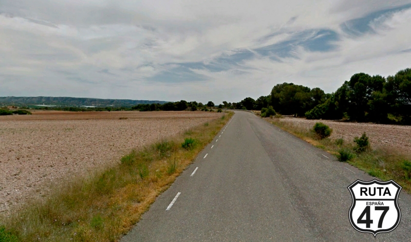
After leaving the Moncayo Natural Park, we now start riding through the flat terrain of Zaragoza.
The 7 km of this stretch will bring us closer to La Almunia de Doña Godina, on asphalt typical of a national road.
Final del tramo
Tramo 10: La Almunia de Doña Godina - A-68 (44 Km)
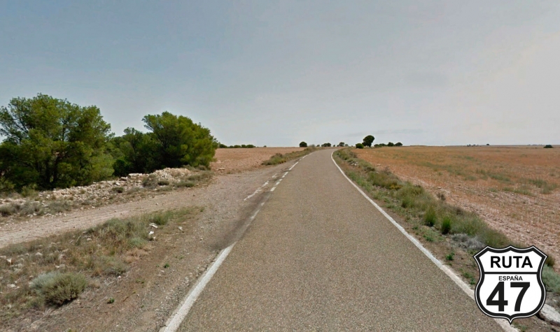
Seeking the city of Zaragoza, we leave La Almunia de Doña Godina on a fairly wide and well-maintained asphalt.
The layout of these 44 km is not very curved, although the Jalón River accompanies us all the time. From a bird's eye view, you can see a large irrigated area following the course of the river in the middle of a much larger dryland area.
Following this lush area, we reach the end of the stretch where we will join the A-68.
Final del tramo

Tramo 11: A-68 - CV-624 (36 Km)
We are now traveling on the A-68, crossing through Zaragoza.
With almost 300 km ahead, it's a bit early for lunch here, so we'll just make a stop at Plaza del Pilar, perhaps the most characteristic spot in this city, to take the corresponding souvenir photo, next to its basilica.
After the whirlwind visit and instead of a full meal, more like a snack, we return to find the A-68, heading towards Castellón, only to leave it shortly after at exit 230 towards La Cartuja and Torrecilla de Valmadrid.
Final del tramo
Tramo 12: CV-624 - La Puebla de Albortón (35 Km)
We start this 36 km stretch moving further away from Zaragoza. Its proximity is noticeable due to the width and layout of this road, which is initially very wide with several roundabouts to prevent vehicles from speeding excessively.
Once past the roundabouts, the asphalt narrows a bit but remains wide, allowing us to travel quickly and reach the end of the stretch, located in Puebla de Albortón, in just 25 minutes.
Final del tramo
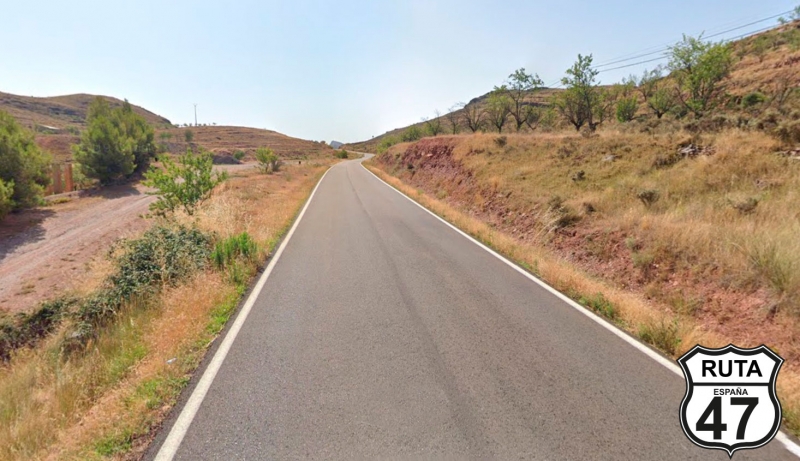
Tramo 13: La Puebla de Albortón - A-220 (9 Km)
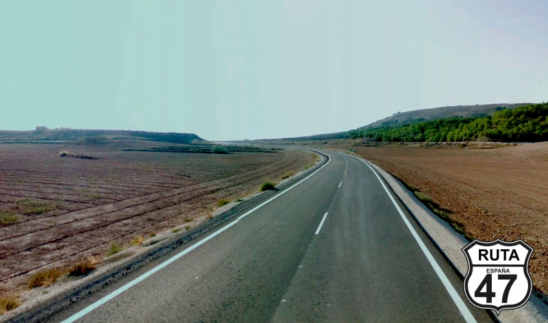
It's been a while since we left the mountains, and we've been riding through a rather open landscape. In this stretch, it opens up even more. There is no river nearby, and it's evident that this whole area is more desert-like, with cereal cultivation prevailing, requiring less water.
In the distance, you can see some not very high mountain formations, and as we approach them, we skirt around to finally reach a roundabout where we will take the third exit, turning left.
Final del tramo

Tramo 14: A-220 - Belchite (9 Km)
We are now heading towards Belchite on this orange road, fast and well-paved. We enter the town after a couple of long straight stretches.
Here, we can make another 20-minute stop. The Old Town of Belchite forms the largest field of ruins from the Civil War and stands as a museum of memories from the past, tangible evidence of what war entails.
Final del tramo
Tramo 15: Belchite - N-232 (21 Km)
With the horror in mind of what war entails, we leave Belchite on the A-1307 and continue through the lands of Aragon until we reach the N-232 after riding along a long straight stretch.
Final del tramo

Tramo 16: N-232 - A-1404 (3 Km)
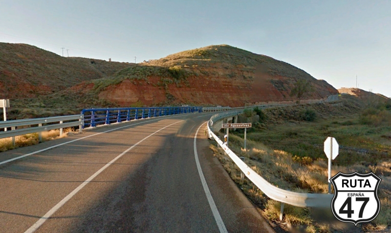
We briefly take the N-232, only to leave it after just 2 km of the route, during which we will reach Azaila, crossing the Aguasvivas River.
Once past this town, we leave this national road with a left turn after a stop, heading towards Vinaceite and Almochuel.
Final del tramo

Tramo 17: A-1404 - A-224 (14 Km)
Ninety percent of this stretch is flat and straight until shortly before the end when we approach the mighty Ebro River, which can be sensed at times, about 700 m to the left. Shortly after, and after a descent with a few curves, we reach San Javier, where we finish this stretch.
Final del tramo
Tramo 18: A-224 - Escatrón (3 Km)
We are about to cover kilometers on this wide, well-paved orange road that separates us from Escatrón, also located along the Ebro.
We are already at kilometer 318 of the route.
Final del tramo
Tramo 19: Escatrón - Caspe (26 Km)
We leave Escatrón, following from a distance the winding course of the Ebro, which we cross via a rather straight and fast road just before the end of the stretch, crossing the Ebro River where it transforms into the Caspe Reservoir.
After reaching kilometer point 52, we arrive at a junction where we will turn right at a yield sign towards Caspe, which is already visible a few meters away.
Once in this charming town in Zaragoza, we will venture into the village until we reach the Main Square, where we can make a stop to stamp the passport for the route at the tourist office. Besides the tourist attractions of Caspe, you can't leave here without visiting the Tower of Salamanca, a beautifully constructed Neo-Medieval-style tower built in 1875.
Final del tramo
51
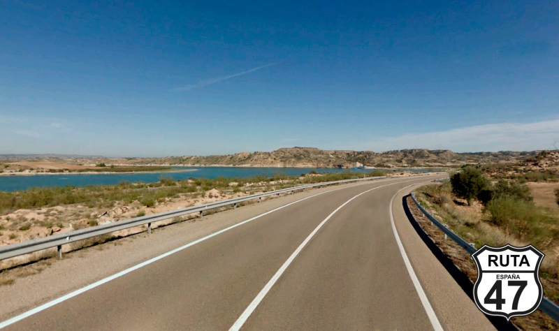
Tramo 20: Caspe - CP-15 (19 Km)
The 20 km in this stretch along the N-211 will be done alongside the Mequinenza Reservoir.
This is a fast section because even though we follow the silhouette of the reservoir, we don't do it faithfully, so the curves are more open than usual in this type of layout.
The good condition and width of the asphalt are a good excuse to push the limits, within the legal bounds, and make some zigzag turns.
With 361 km traveled, we lose sight of the Ebro for a while, diverting to the right towards Nonaspe and Fayón.
Final del tramo
292
Tramo 21: CP-15 - A-1411 (7 Km)
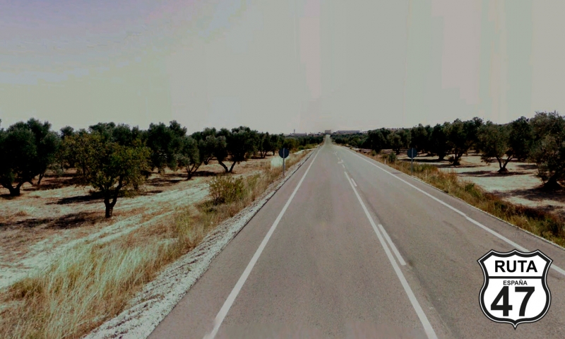
The proximity of the Ebro River is noticeable in the landscape of this stretch, which, even though very open, showcases vast cultivated areas, especially with small trees on both sides of the road.
After 7 km of very open zigzag curves connected by medium-length straights, we reach a T-shaped intersection where we turn left towards Mequinenza.
Final del tramo
Tramo 22: A-1411 - CV-103 (9 Km)
From here, you can already see the mountainous formations that we will reach in a few minutes on this second-level regional road.
The asphalt is rather narrow but in very good condition, which, combined with its few curves, allows us to access the next stretch in just 6 minutes at a right turn towards Fayón.
Final del tramo
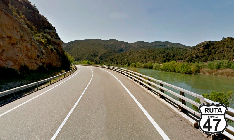
Tramo 23: CV-103 - TV-7231 (11 Km)
We are now entering the stretch that will bid farewell to the province of Zaragoza, traveling along it for 11 km.
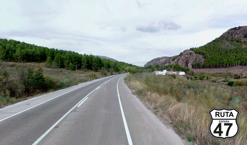
The beginning of the stretch, similar to the previous one, through the region of Bajo Aragón, where we are currently traveling, becomes increasingly curvy, tight, and green as we cover kilometers.
On one side, the Ebro, which in these parts has transformed into the Ribaroja Reservoir, and on the other side, the Matarraña River that we will cross after a descent.
Before the bridge, a green sign with white letters announces that we are entering CATALONIA again, but this time through Tarragona.
Final del tramo
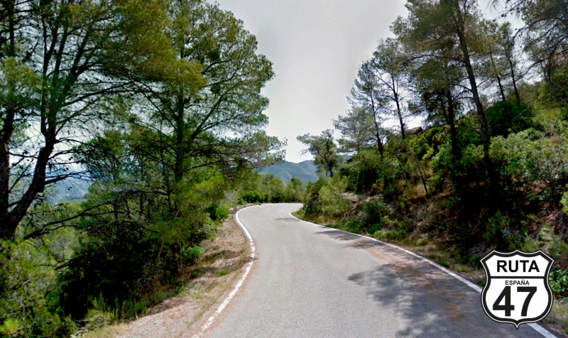
Tramo 24: TV-7231 - TV-7411 (5 Km)
With the accumulated fatigue from almost 400 km on the motorcycle, we usually don't like to leave the winding sections for the end, but we consider it a worse alternative to circulate on highways or freeways, so we position ourselves well on the seat and get ready to cover this and the next stretch on a winding route closely following the course of the Ebro River.
After only 5 km, a slight ascent, we reach a stop where we will turn left towards Ribaroja d'Ebre.
Final del tramo
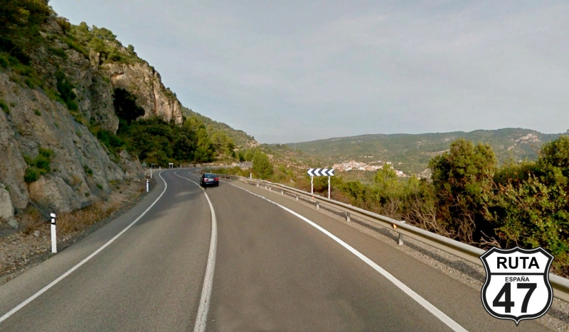
Tramo 25: TV-7411 - T-741 (20 Km)
With three-quarters of today's stage covered, we embark on this enjoyable stretch where, after 2 km, we won't see a straight stretch of 200 m until practically the end.
Always with the Ebro River present, even if we only see it on rare occasions, we begin a winding ascent of 8 km on good asphalt and a narrow road. Afterward, we start its corresponding descent, also winding, where we will once again encounter the Ebro River, next to the dam of the Ribaroja Reservoir.
From here, we continue along the course of the Ebro, although in a much more open and wide curve layout, until just before Ribaroja D'Ebre, where we turn right towards Flix.
Final del tramo
Tramo 26: T-741 - Flix (7 Km)
We leave behind the town of Ribaroja D'Ebre as we advance towards Flix on this green-colored road that, given the characteristics of its layout, could rather be orange.
Its straight stretches and width will bring us to Flix in just 5 minutes.
In Flix, we must turn right towards the city center and then connect with the C-12 at a roundabout where we will take the first exit.
Final del tramo
Tramo 27: Flix - Mòra la Nova (20 Km)
It seems we are reluctant to say goodbye to the Ebro River, so we leave Flix in its company, tackling the first kilometers of this red road called C-12 and nicknamed Eje del Ebro in a straight line.
We reach Ascó, where you can admire the enormous chimney of the Ascó Nuclear Power Plant, located on the banks of the Ebro, where it takes on a horseshoe shape. We've now seen two nuclear power plants on Route 47.
We cross the river via a bridge and continue another 3 km in a straight line until we encounter the Ebro again, following its course very closely, ensuring curves, although open, and green landscapes.
We pass by García, and shortly after, we enter Morá la Nova, where after passing under a bridge of the N-420, we will join this road heading to Reus.
Final del tramo
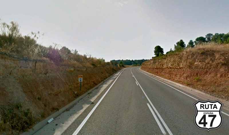
Tramo 28: Mòra la Nova - T-11 (39 Km)
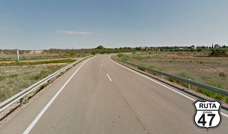
In an eastward turn, we say "See you tomorrow" to the Ebro River, continuing on this wide and well-paved national road.
The first 16 km are flat with few curves, but then we will cross a mountainous formation through which we will ascend and descend a couple of times. It may not be a regional road, but with more than 400 km behind us, the desire to reach Tarragona is growing.
After 39 kilometers on the national road, we join the T-11 towards Reus and Tarragona.
Final del tramo
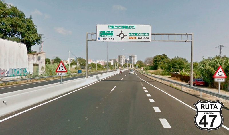
Tramo 29: T-11 - TARRAGONA (21 Km)
As on all roads of this type, we cruise at a careful cruising speed since these roads usually have quite a few speed cameras, and we end today's stage in a place close to the beach.
Let's see if we have time for a Mediterranean dip.
Final del tramo