


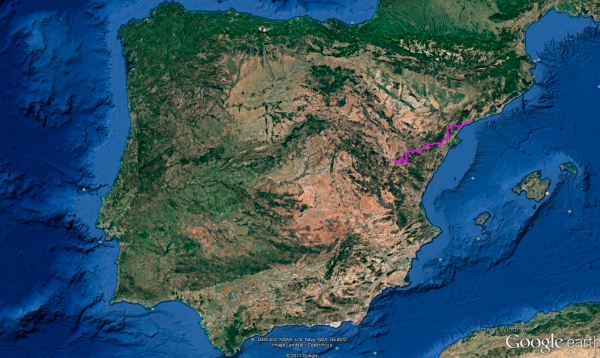
Distance 373 Km. distributed across roads of the following types:
Autopistas y autovías: 30.5 km. Carreteras Nacionales: 73.1 km. Autonómicas de 1º nivel: 116.4 km. Autonómicas de 3º nivel:153 km.
Sections: 20
Autor: Gérard
Descripción:
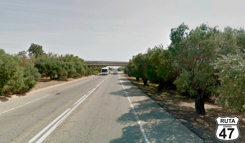
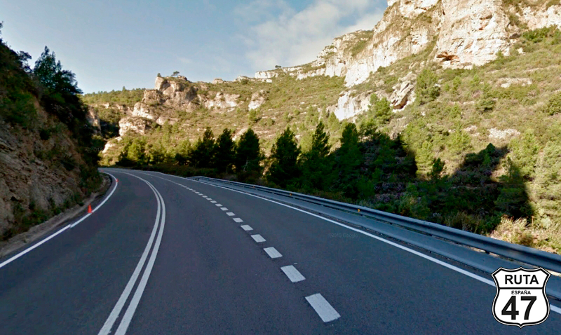
Tramo 1: TARRAGONA - A-7 (7.7 Km)
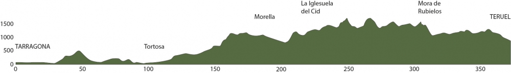
After strolling through the old part of Tarragona and once again tasting the waters of the Mediterranean yesterday, we fired up our engines to set course for Teruel, taking a detour, of course, and admiring the scenic gems that the wonderful topography of this country offers.
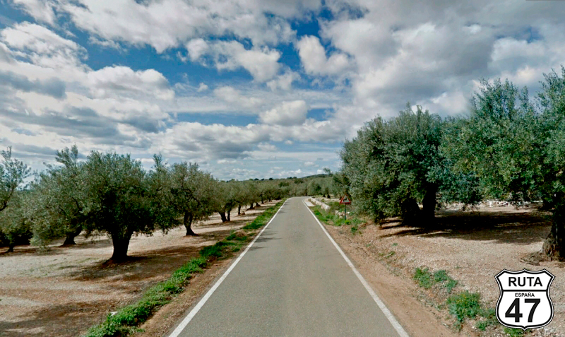
The Mediterranean area is highly developed, so instead of following the coastline, we will head inland in search of solitary roads among the mountains.
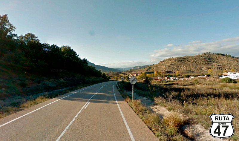
So, with the first rays of sun, we left the hotel and headed west again, on the N-340 A.
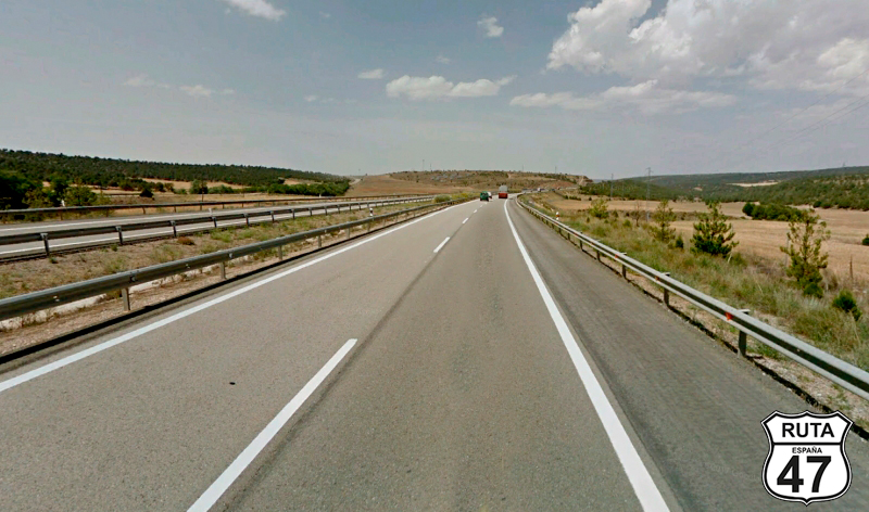
After a straight stretch of 6 km and passing through a roundabout, we went under the A-7 and merged onto it heading towards Castelló.
Final del tramo

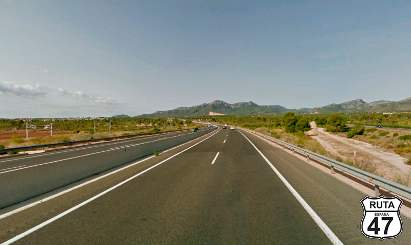
Tramo 2: A-7 - C-44 (25.5 Km)
Continuing on this highway to distance ourselves as quickly as possible from all these tourist towns, such as Salou or Cambrils, after 25 km of expressway, we take exit 1129.
Final del tramo

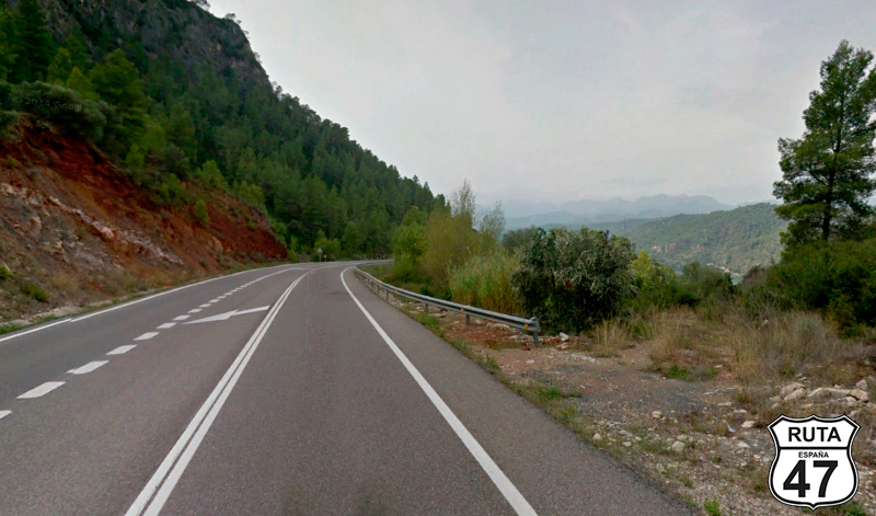
Tramo 3: C-44 - C-12 (25.4 Km)
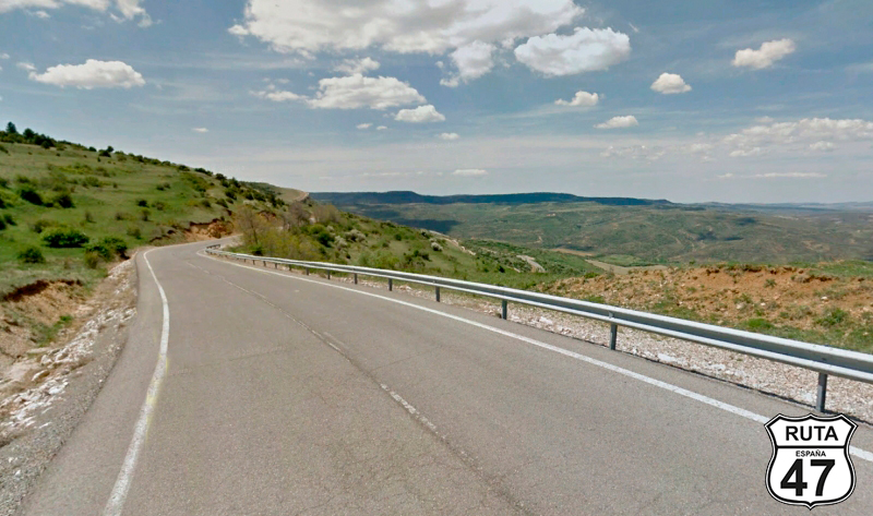
We leave the fast lanes and, moving away from the Mediterranean coast, head inland on the C-14, which, although appearing in red on the signs and milestones, is a regional road. However, it must be said that with its width and good asphalt, it is very similar to national roads belonging to the Spanish state.
Shortly after starting the stretch, we enter a mountainous area, whose route is characterized by a constant and gentle ascent that will take us from sea level to 500 meters in the first 13 km of the stretch.
The descent continues for another 12 km, where we will be back at sea level and where we once again encounter the Ebro River, whose mouth is not far from here.
The stretch ends when, after a roundabout where we will take the second exit, another intersection comes up where, after a stop, we turn left towards Ginestar and Tortosa.
Final del tramo

Tramo 4: C-12 - T-301 (19 Km)
We change from the regional road, but not from the color, now traveling on the C-12 in the company of the Ebro, although we don't exactly follow its winding path, where at times we are so close that we could almost take a bath.
Just before crossing the river, we will turn left to take the T-301, heading towards Benifayet and Tibenys.
Final del tramo

Tramo 5: T-301 - Tortosa (26.4 Km)
The first 4 km of this well-paved stretch, noticeably narrower than the previous one, lack significant curves, despite following the course of the river. Things change when we lose sight of it, ascending through a not very high but mountainous terrain with countless curves of all kinds.
During the curved descent, at the base of which is the town of Tibenys, we once again encounter the Ebro, which will accompany us to Tortosa, a city very close to its mouth.
Final del tramo

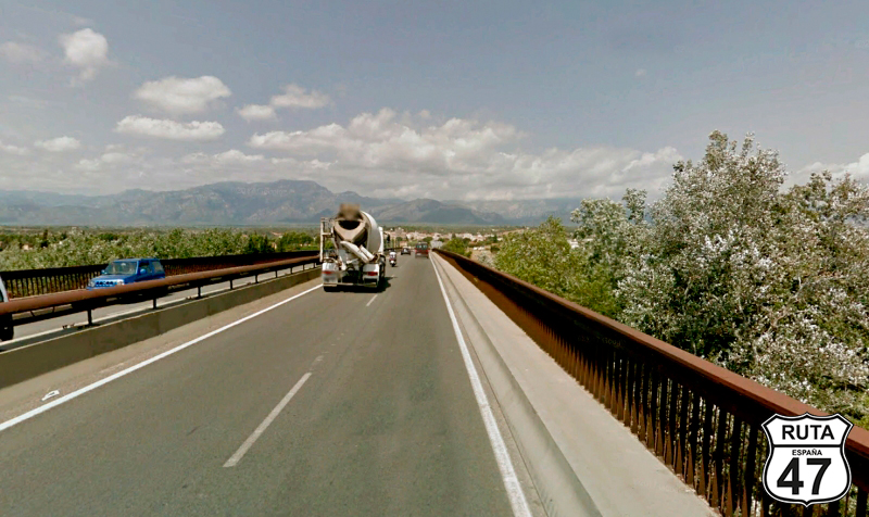
Tramo 6: Tortosa - TV-3421 (1 Km)
We now approach the shortest stretch of this stage, only 1 km in length, where we will cross the Ebro River via a bridge and bid farewell to it for a few days.
Undoubtedly, we will meet again at some point on Route 47, as this mighty river traverses 7 autonomous communities out of the 15 on the Iberian Peninsula.
Final del tramo

Tramo 7: TV-3421 - La Sénia (31 Km)
Having surpassed the 100-kilometer mark of the route, we find ourselves at sea level. Over the next 200 km, we will ride in a constant ascent, reaching an altitude of 1500 meters on occasion, making this another promising stage of Route 47.
The first kilometers of this stretch are quite straight, but it won't be long before we start to encounter curves, although the initial ones are quite open.
Olive trees along the asphalt limit the view of the landscape, occasionally opening up to reveal the mountains of Parc Natural Dels Ports.
At kilometer 120 of the route, we reach Mas de Barberans, located at the base of the natural park, and from there to the end of the stretch in La Sénia, we will continue along this route with few curves.
Final del tramo

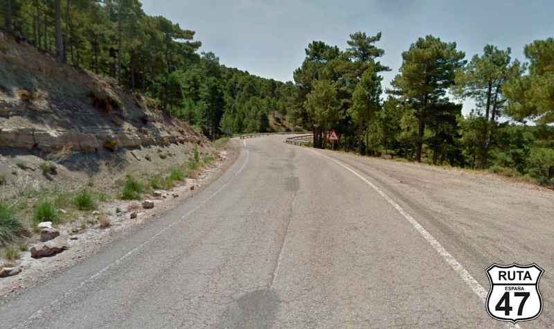
Tramo 8: La Sénia - CV-110 (44 Km)
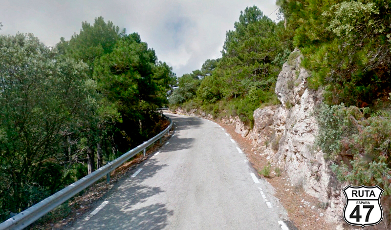
We leave La Sénia on the CV-105, a third-level regional road, synonymous with narrow roads. We immediately start to navigate curves through the Parc Natural Dels Ports, where this time we have truly immersed ourselves.
On the outskirts of this town, we cross the La Senia River, which serves as a natural border between Catalonia and the Valencian Community, where we will ride for a few kilometers.
With a definitive farewell to Catalonia on Route 47, we enter this new autonomous community through the province of Castellón, reaching the Ulldecona Reservoir, from which we continue ascending and navigating through this fun, long, and narrow stretch.
At kilometer 180 of the route and at 1200 meters of altitude, we change roads without any turns, continuing towards Alcañiz and Morella.
Final del tramo

Tramo 9: CV-110 - N-232 (2 Km)
We proceed along this short and elevated road for 2 km until we reach a roundabout where we will turn left towards Morella and Vinaros.
The views from here are truly a delight.
Final del tramo

Tramo 10: N-232 - CV-14 (10 Km)
We continue ascending a few hundred meters at the beginning of this stretch in the company of a wind farm until we reach the summit of Torre Miró, at 1204 meters above sea level.
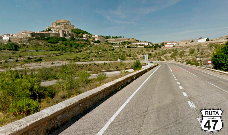
During the descent on this wide and well-paved national road with open curves, we pass by Morella, surrounded by an impressive wall with a stunning gate.
It's already noon, and this is an ideal place to have lunch and take a stroll through its narrow streets. Moreover, if the views from the Torre Miró bridge were beautiful, those from the Morella Castle must be breathtaking.
After a light meal, it's time to get back on the bike. We leave this beautiful town that doesn't disappoint in terms of tourist interest and, returning to the N-232, take a right turn just 1 km from Morella, heading towards Sorita.
Final del tramo

Tramo 11: CV-14 - CV-125 (2 Km)
It's been a while since we've been riding through the Maestrazgo region, which extends through the north of the province of Castellón and the southeast of Teruel. Its name comes from the fact that these territories were under the jurisdiction of the Grand Master of the military orders of the Temple, San Juan, and Montesa in the 14th century. It's an incredibly beautiful region and ideal for motorcycling, where the best is yet to come in a few kilometers.
So, we continue along this short stretch for 2 km, practically in a straight line, and take a left turn towards Cinctorres and Portell de Morella. Just before the intersection, a tourist sign announces that we are going to ride on the Camino del Cid for a while.
You can't compare a horse with a motorcycle, but in these lands, one might feel a bit like a knight mounted on this modern steed.
Final del tramo
Tramo 12: CV-125 - A-2706 (29 Km)
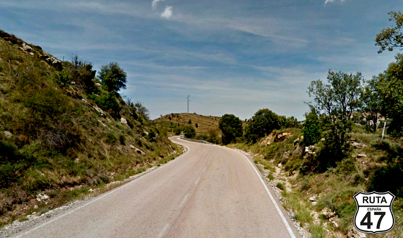
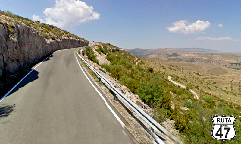
Following the Camino del Cid, we start this stretch of almost 30 km, ascending to a summit in a not very long but very twisty climb with excellent asphalt. The width of the road is a bit larger than what we're used to on these third-level regional roads, giving us some room to go a little faster than usual on these yellow roads and zigzag a bit during the descent, which has more open curves until we reach Cinctorres.
After this town, the asphalt narrows significantly, and another winding ascent through a very mountainous landscape brightens up part of this motorcycling afternoon when, at the summit of Las Cabrillas, at 1320 meters above sea level, we enter the province of Teruel.
Alluding to the famous saying, we confirm that "Teruel exists," and not only that, but it's a fun province for motorcycle riding.
Final del tramo

Tramo 13: A-2706 - La Iglesuela del Cid (6 Km)
A curious stone wall adorns the left side of this winding road in Teruel, whose asphalt deteriorates a bit during the descent until we reach La Iglesuela del Cid, located just 6 km from the summit of Las Cabrillas. Here, we will turn right towards Teruel to tackle the final 144 km of this stage.
Final del tramo

Tramo 14: La Iglesuela del Cid - Cantavieja (10 Km)
At 1350 meters above sea level, it seems we have reached the peak in this stage, but we will still continue ascending on this road. Mountains continue to accompany us on the left, while on the right, we delight in the landscape where the view is lost on the horizon.
Amidst curves and good asphalt, we reach Cantavieja, where we will turn left at a roundabout towards Teruel.
Final del tramo
Tramo 15: Cantavieja - A-228 (45 Km)
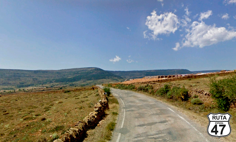
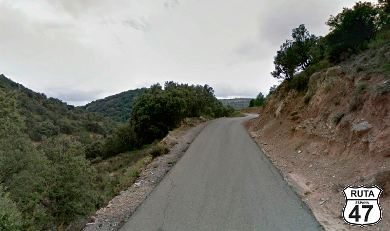
We leave Cantavieja on the regional road A-226, full of curves, to continue ascending this time to the summit of the Puerto de Cuarto Pelado, located at 1657 meters above sea level.
The descent, which we will do on an excellent asphalt with rather open curves, is composed of the diverse and picturesque landscapes that this entire area of the Sierra de Arcos and Maestrazgo in Aragon offers.
After the town of Allepuz, we join the A-226 by turning left towards Alcalá de la Selva, Mora de Rubielos, and Gudar.
Final del tramo
42
Tramo 16: A-228 - TE-V-8011 (33 Km)
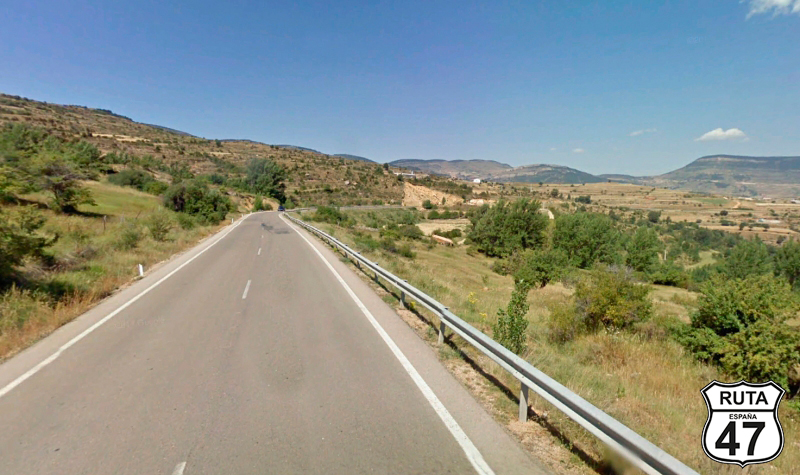
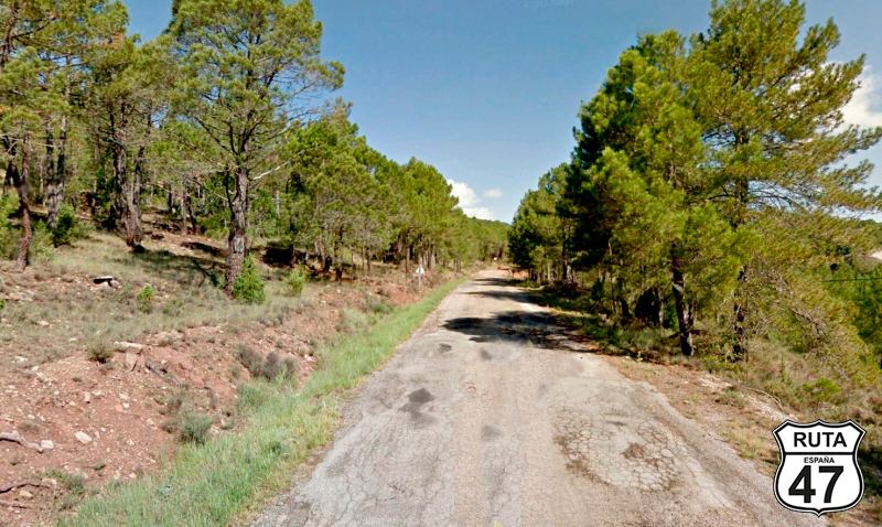
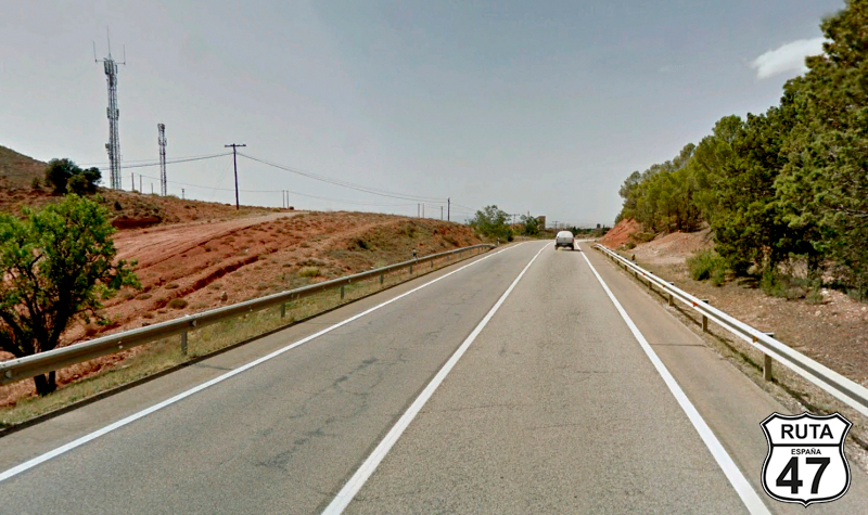
Less than 100 km from Teruel, we start this stretch that, like the previous one, runs along a first-level regional road, although in worse condition in terms of asphalt, at least in the first part.
Its route, solitary and enjoyable, winds through curves flanked by countless trees and slightly worn asphalt, making us travel at a slow speed. We take advantage of this situation to admire this green landscape at an altitude of more than 100 meters.
Midway through the stretch, we pass through Virgen de la Vega, where the asphalt improves significantly until the end of the section, located at the entrance of Mora de Rubielos.
Final del tramo

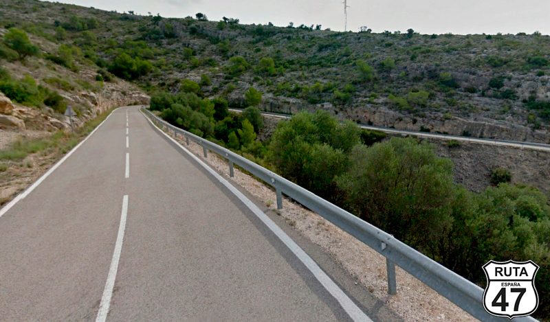
Tramo 17: TE-V-8011 - TE-V-8011 (16 Km)
After turning right towards Cabra de Mora, El Castellar, and Cedrillas, we change the type of road, now traveling on a third-level regional road, in this 16 km stretch.
Initially straight, the route starts to curve as we progress, reaching its peak in terms of curves after crossing the town of Cabra de Mora, which we will skirt along its western side.
Shortly after, a long stretch of zigzag curves brings us to the end of the section, specifically at a perpendicular point where we will turn left towards Formiche Alto, just after leaving behind the town of El Castellar.
Final del tramo
Tramo 18: TE-V-8011 - A-23 (25 Km)
Just 40 km from Teruel, we are approaching the end of the day's journey, but the curves don't stop. So, we tackle this winding stretch, ascending a bit more, to begin the descent towards the A-23, the road leading to the capital of Teruel.
During the curvy descent, some huts blend into the semi-arid landscape of the area, which becomes lusher and denser as we progress.
We are already at kilometer 358 of the route when we join the A-23 towards Zaragoza and Teruel.
Final del tramo

Tramo 19: A-23 - N-234 (5 Km)
Now we are traveling on what we call "Approach Stretches," which are usually fast roads whose purpose is to bring us closer to our final destination. They are typically characterized by being fast and having few curves, usually divided, like this A-23, also known as the "Autovía Mudéjar."
Teruel is a bit away from the highway, so after 5 short kilometers on this blue road, we take exit 105 towards Teruel and Cuenca.
Final del tramo
105
Tramo 20: N-234 - TERUEL (10 Km)
With over 350 km behind us and after navigating through hundreds of curves amidst picturesque landscapes, we tackle these last 10 kilometers on this national road that will lead us in a succession of 5 straight stretches to TERUEL, today's final destination.
It's not Segovia's Aqueduct, but we won't leave this "existent city" without visiting at least the Los Arcos Aqueduct, one of the most significant engineering works of the Spanish Renaissance.
Final del tramo