


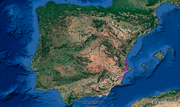
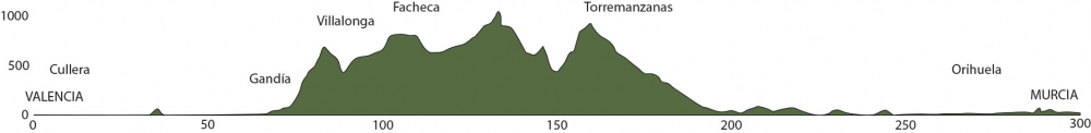
Distance 291 Km. distributed across roads of the following types:
Autopistas y autovías: 20 km. Carreteras Nacionales: 53 km. Autonómicas de 1º nivel: 27 km. Autonómicas de 3º nivel:170.4 km. Asfalto o cemento sin nombre: 20.6 km.
Sections: 24
Autor: Gérard
Descripción:
Tramo 1: VALENCIA - CV-502 (26.2 Km)
We begin this new stage of Route 47, covering almost 300 km, getting ready for some curves. We'll ascend from sea level to 1000 meters in height, ending in the city of Murcia, also at sea level.
The initial stretches of this stage will take us along the Mediterranean coast, but we'll soon leave it for a while to seek mountain curves and avoid tourist congestion, which, in our opinion, lacks motorcycle charm.
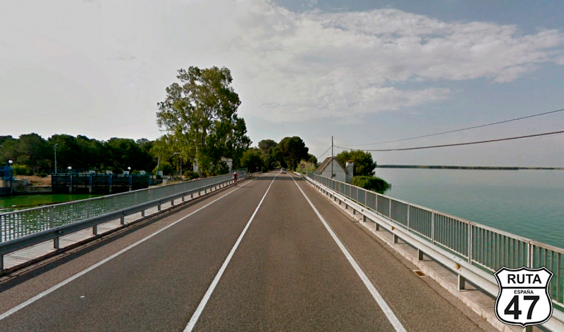
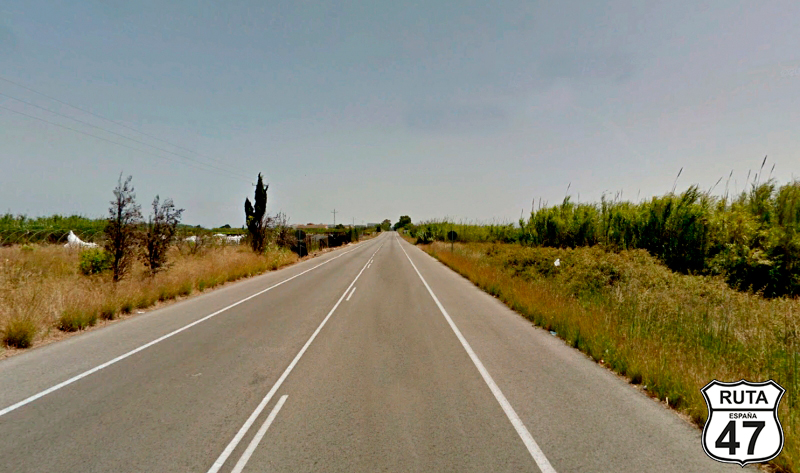
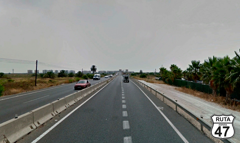
We leave Valencia on the third-level regional road CV-500 when shortly after, we arrive at La Albufera, an area declared a Natural Park, housing the largest lake in Spain and one of the most important wetlands on the Iberian Peninsula, of great ecological interest. Its rich waters have traditionally supported fishermen and rice cultivators, giving rise to a succulent gastronomy, which, by the way, we've already tasted.
Following the straight coast, which only occasionally peeks through the multitude of buildings along its line, we reach a roundabout where we'll take the second exit towards Cullera.
Final del tramo

Tramo 2: CV-502 - Cullera (13.8 Km)
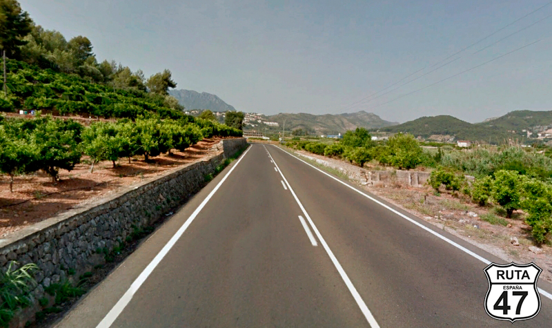
We distance ourselves a bit from the coast, traveling in parallel with it on the CV-502, a wide and well-paved third-level regional road when we turn right on a very open curve to skirt the Cullera Mountain, also known as Sierra de los Zorros. The old town of this tourist city is on the other side of the mountain, next to the sea.
We will skirt the mountain to shortly after cross the Jucar River very close to its mouth.
We reach a roundabout located under a viaduct and take the second exit towards Tavernes.
Final del tramo

Tramo 3: Cullera - Gandia (25.8 Km)
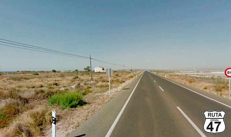
Continuing south, we now head towards Gandía, in a straight line and parallel to the coast, which is 1.5 km away in a straight line.
After almost 26 km amid countless cultivated plots, we reach this tourist town, where after a few roundabouts, we will enter another one from which we will exit towards Daimus and Oliva.
Final del tramo
Tramo 4: Gandia - Villalonga (9.9 Km)
Traveling on the CV-680, which takes us further away from the coast, we pass by the closely spaced Almoines, Beniarjó, Potries, and Villalonga, ending this stretch on Mercat Street in the latter town, heading towards La Llacuna, whose signage is anchored on a wall.
Final del tramo
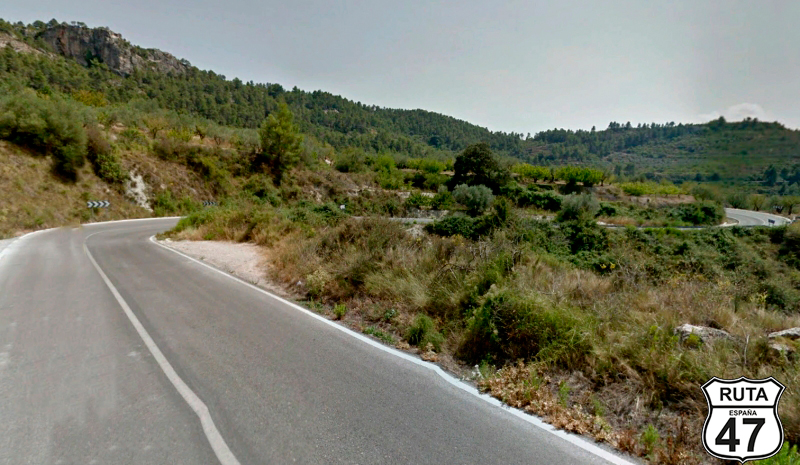
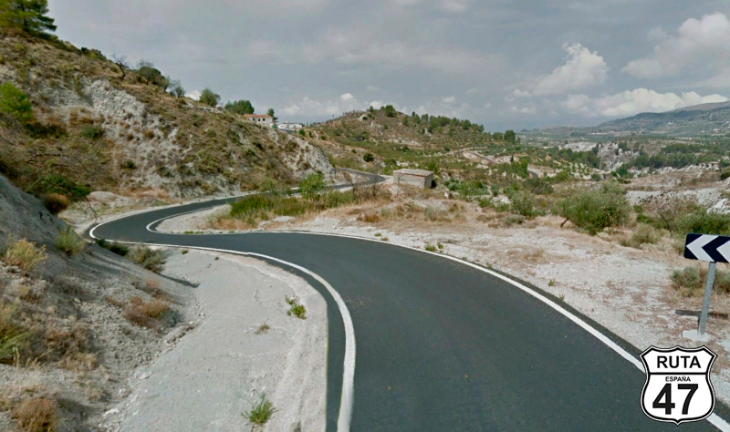
Tramo 5: Villalonga - CV-714 (13.6 Km)
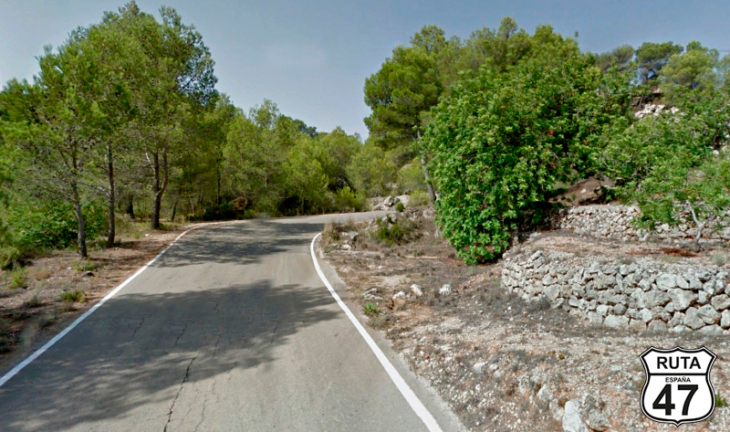
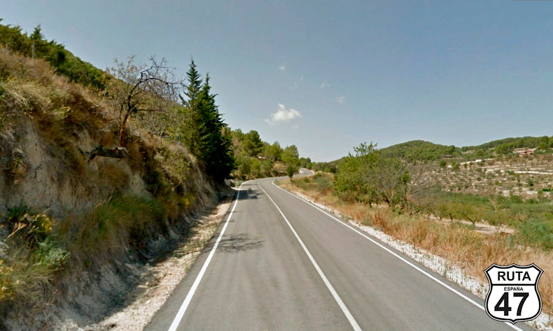
Now we begin the first local stretch of this stage, which runs on narrow and good asphalt in a winding ascent of 9 km. Shortly before reaching the summit, the road widens significantly as we pass by several buildings, while changing provinces and entering Alicante, without any sign to warn us.
We continue to ascend a bit more when the asphalt narrows even more to the point of horizontal signage disappearing. It is then that we start the winding descent that will take us to a crossroads where we will turn right towards Benisili.
Final del tramo

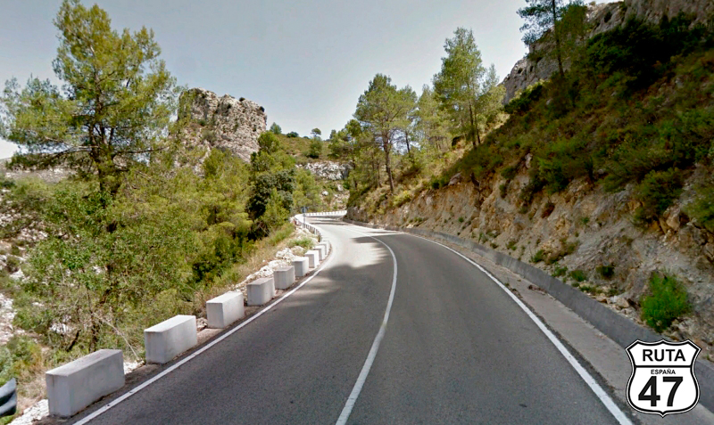
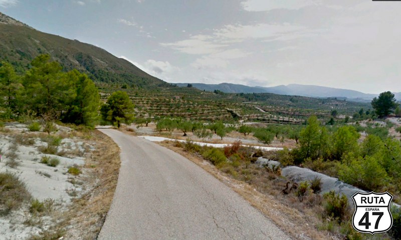
Tramo 6: CV-714 - CV-700 (2.2 Km)
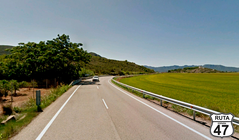
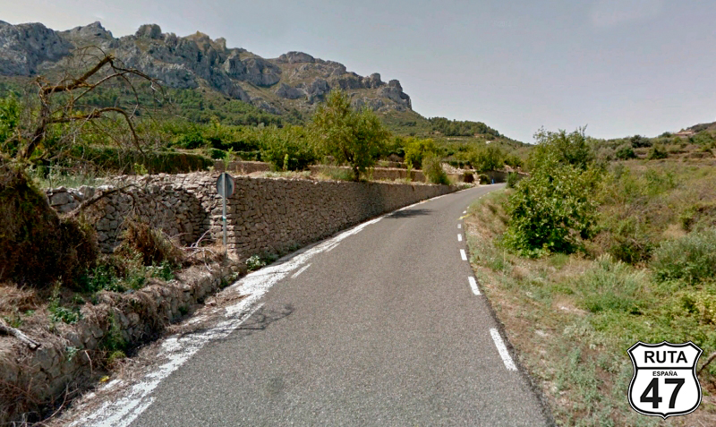
The landscape is beautiful, with olive trees planted on artificial terraces bordered by stone walls, located along the edge of the road, and rock formations that adorn the view.
We pass through the town of Benisili, and shortly after, the road ends at a stop sign where we will turn right towards Planes and Alfafara.
Final del tramo
Tramo 7: CV-700 - CV-712 (3.9 Km)
We still continue ascending along this winding stretch until shortly before its end when we begin a descent, at the beginning of which we will turn left to change roads towards Margarida, Vall d'Alcala, and Vall d`Ebo.
Final del tramo

Tramo 8: CV-712 - CV-713 (3.4 Km)
Through a winding path that often runs between rocky walls, we reach the CV-713, a road that we will start to ride after a right turn towards Beniaia and Tollos.
Final del tramo

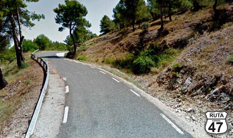
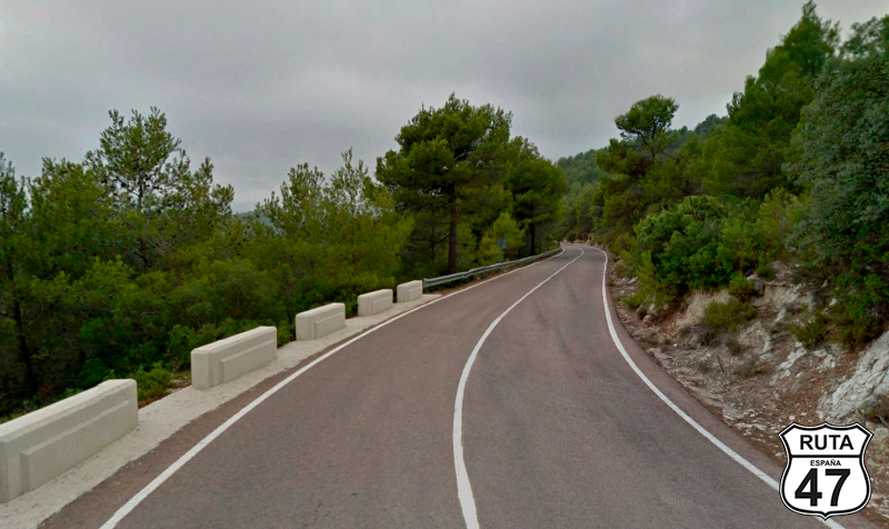
Tramo 9: CV-713 - CV-720 (7.2 Km)
The CV-713 is a solitary, narrow, and well-paved road, so at a slow pace, we head south in an ascent that continues throughout the stretch, except at the end, where we descend for just under 1 km to reach a stop where we will turn left towards Fageca and Castell de Castells.
Final del tramo

Tramo 10: CV-720 - Facheca (2 Km)
Continuing through this labyrinthine set of secondary roads in Alicante, we travel only 2 km to Facheca, where we will turn right and join the CV-754 towards Quatretondeta.
Final del tramo
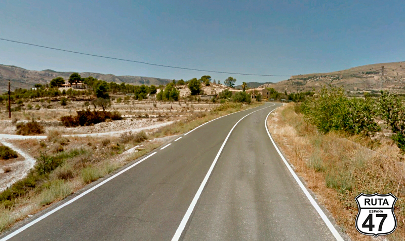
Tramo 11: Facheca - Vecinal (7 Km)
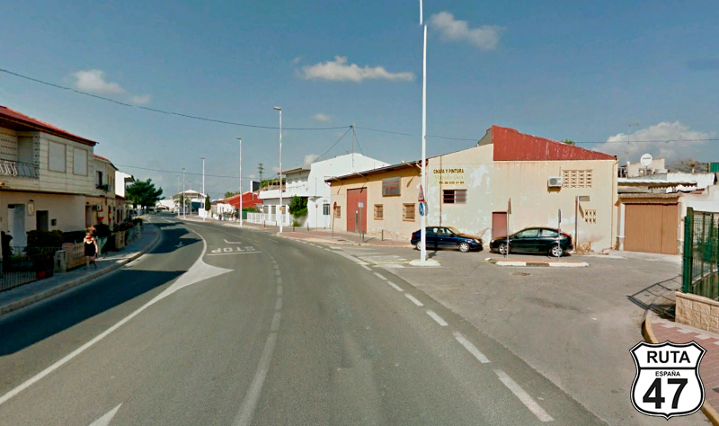
The landscape changes a bit, becoming drier, as we arrive at Quatretondeta, a small town located at the foot of the Sierra de la Serreta.
A few meters later, we turn left to join a local road. BE VERY CAREFUL because there is no signage indicating the turn or its destination.
Final del tramo
Tramo 12: Vecinal - CV-770 (6 Km)
If the yellow roads we've been traveling on are narrow, this local route is even more so. However, its asphalt is in very good condition, and its winding path will allow us to enjoy the landscape full of low-height trees and the beautiful view of the Sierra de la Serreta.
After riding 6 km on this narrow local road, where there isn't a straight stretch of 100 meters, we make a stop at a cross-shaped intersection in the middle of a descent to continue straight towards Alcoleja and Vila-joiosa.
Final del tramo

Tramo 13: CV-770 - CV-778 (14 Km)
Final del tramo

24
Tramo 14: CV-778 - CV-782 (9 Km)
Final del tramo
Tramo 15: CV-782 - Torre de les Macananes (12 Km)
Final del tramo
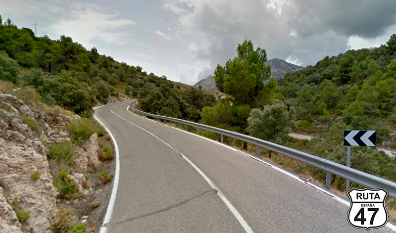
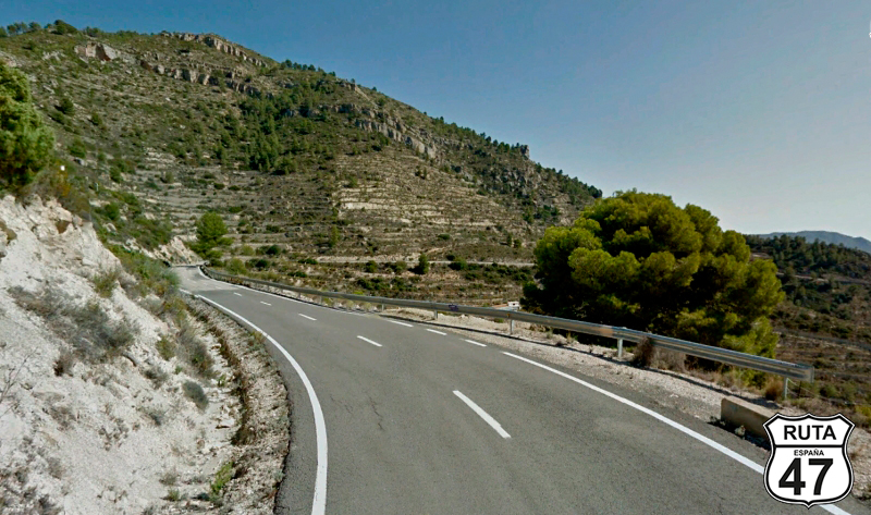
Tramo 16: Torre de les Macananes - CV-800 (14 Km)
Believe it or not, there are still more curves in this stage. It's true that they are not as numerous or tight as in the previous stretches, but we will still enjoy 14 km of curves through a drier and less mountainous landscape than before.
At the end of the stretch, we come to a stop where we will turn left towards Xixona and Sant Joan d´Alacant.
Final del tramo

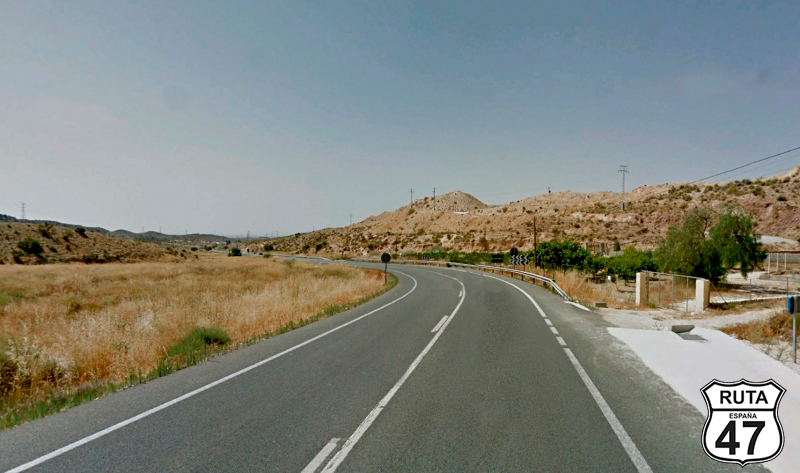
Tramo 17: CV-800 - A-70 (19 Km)
very open curve preceded by a straight stretch skirts the town of Xixona, whose spectacle of almond trees in bloom is worth seeing if you do Route 47 in the spring.
Subsequently, heading back towards the Mediterranean coast, we move south along with the Río de la Torre on a fairly straight asphalt. When we reach a roundabout, we will take the first exit towards Mutxamel, San Joan d´Alacant, and Alicante.
Shortly after passing under the AP-7 and continuing straight, we finish the stretch 3.5 km later by joining the A-70 towards Alicante, Madrid, and Murcia.
Final del tramo

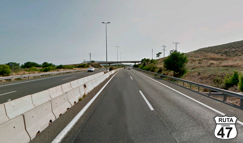
Tramo 18: A-70 - N-338 (20 Km)
It is well known that motorcyclists do not like this type of fast and boring roads, such as this highway, but sometimes there is no other choice, and this is the fastest way to avoid a big city like Alicante. So, we ride for 20 km on this blue road, which we will leave at exit 22.
Final del tramo

22
Tramo 19: N-338 - N-332 (5 Km)
We are now riding on a rather straight stretch and a huge, imperceptible curve, passing by Alicante Airport.
The scent of the sea is already in the air, and in the distance, along the coastline, you can see tall buildings that are likely to be hotels or apartments when we reach the end of the stretch, joining the N-232 towards Santa Pola.
Final del tramo
Tramo 20: N-332 - CV-91 (27 Km)
Through a fast, straight, and initially divided stretch, we reach Santa Pola, where we start following, for a while but at a distance, the coastline on one side and the Santa Pola Salt Flats on the other.
We leave La Marina del Pinet behind, and on another divided stretch, we leave the N-332 towards Rojales.
Final del tramo

Tramo 21: CV-91 - Orihuela (27 Km)
Without completing the large exit curve of the N-332, we access a large roundabout where we will take the second exit towards Rojales and Orihuela.
We are moving away from the coast again when, at kilometer 268 of the route, we reach Orihuela. On the outskirts of this town, and after crossing it through its center, we reach a roundabout where we will continue straight, towards Beniel.
Final del tramo
Tramo 22: Orihuela - Vecinal (1 Km)
Between low-rise buildings and after 1 km straight, we reach a roundabout where we will take the first exit.
Final del tramo

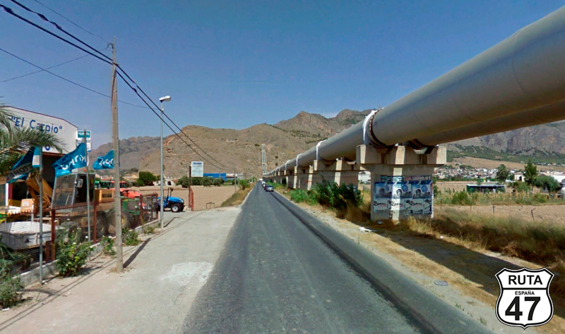
Tramo 23: Vecinal - N-340 (1 Km)
Two enormous tubes belonging to the Cartagena Canal accompany us along this short stretch of 1 km, at the end of which we will make a stop to turn left towards Murcia.
Final del tramo
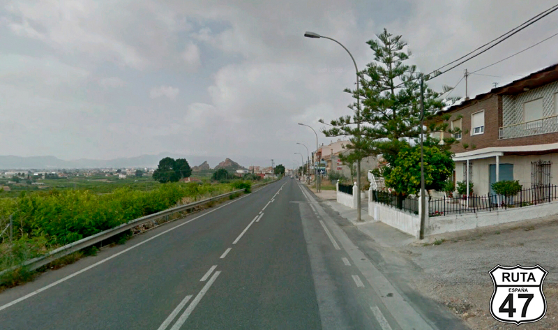
Tramo 24: N-340 - MURCIA (21 Km)
We are now entering the final stretch of this stage, traveling on the N-340, which consists of a generally straight route.
We pass through the towns of Raiguero Levante, La Aparecida, and Raiguero Poniente, as we enter the Province of Murcia, leaving behind the province of Alicante and, consequently, the Valencian Community.
After traveling 21 km on this National road, we reach our final destination of the day: Murcia.
As in previous stages, we will make a lightning visit to this city, but we will not leave without at least visiting its cathedral, taking a stroll around, and having dinner with a Murcian pisto.
Final del tramo