


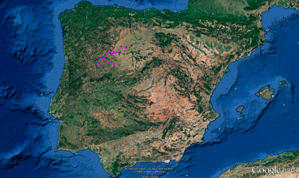
Distance 398 Km. distributed across roads of the following types:
Carreteras Nacionales: 14 km. Autonómicas de 1º nivel: 96 km. Autonómicas de 2º nivel: 119.9 km. Autonómicas de 3º nivel:161.1 km. Asfalto o cemento sin nombre: 7 km.
Sections: 31
Autor: Gérard
Descripción:
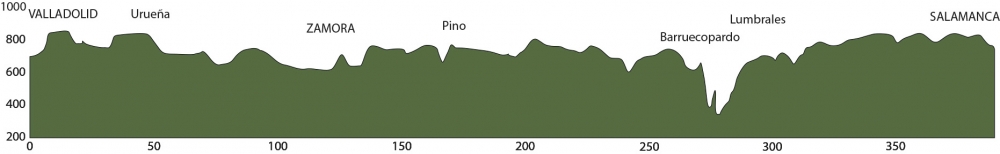
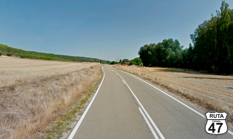
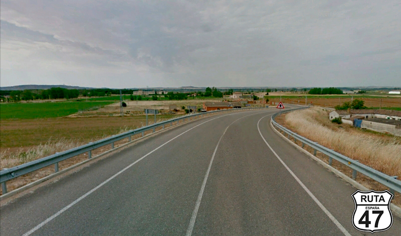
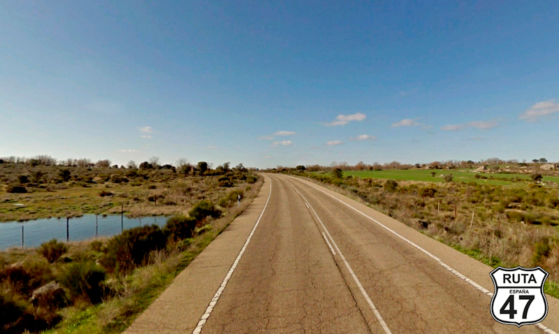
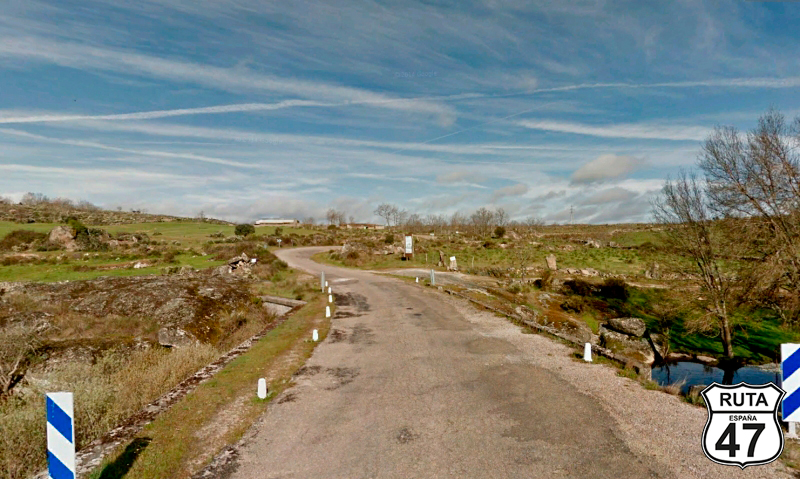
Tramo 1: VALLADOLID - Torrelobatón (29 Km)
After a hearty breakfast, we start the motorcycle and with the first rays of sun, we head towards Salamanca, a city that among other things, has the oldest active university in Spain.
Today, we have nearly 400 km ahead of us, and although the last 100 will be covered in just an hour, we want to stop in Zamora and see a few curiosities along the way. With this agenda, we can't afford to waste much time if we want to reach the hotel quickly and take a stroll in Salamanca.
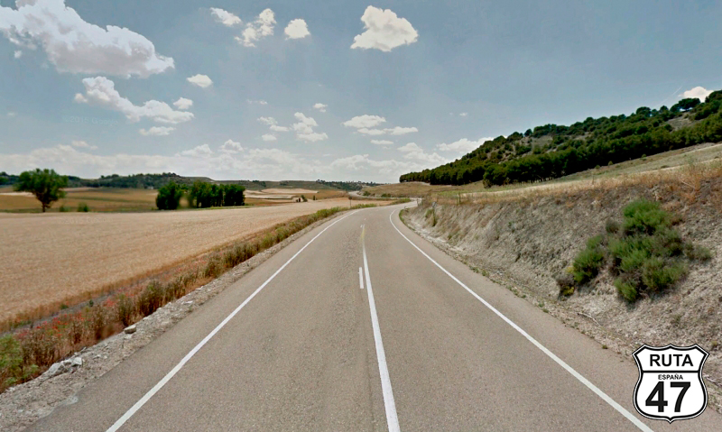
So, looking for the VA-514, we head west to reach Zaratán, located on the outskirts of Valladolid. After passing this town, a straight road of 8 km brings us to Wamba, a curious name for a Spanish locality that derives its name from the Visigothic king Wamba.
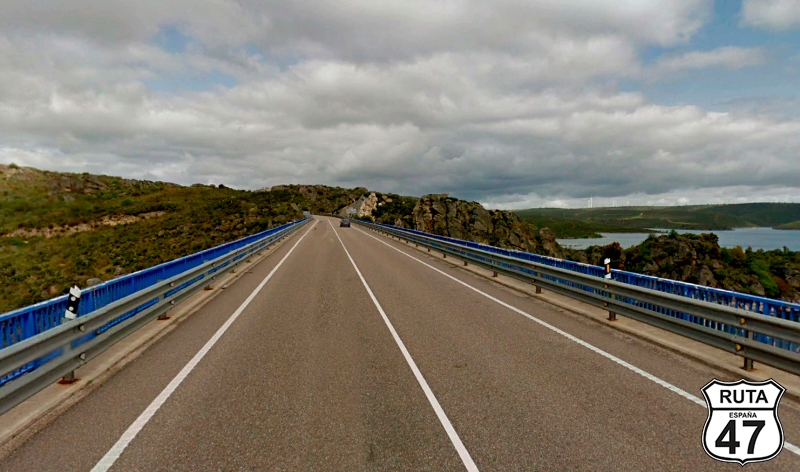
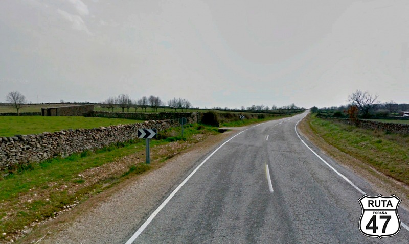
Continuing through the region of Montes Torozos, we reach Torrelobatón, where we can't resist making the first stop to visit its impressive castle.
Final del tramo

Tramo 2: Torrelobatón - San Cebrián de Mazote (12.6 Km)
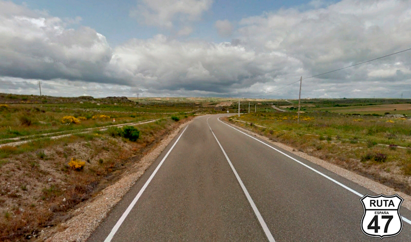
After circling the castle, admiring its gracefulness, we continue west to start riding on a yellow road, which will prevail in this stage, and through which we will cover 153 km.
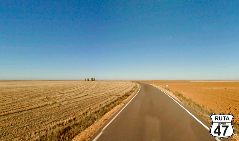
The straight and flat route, amidst cultivated fields, leads us to San Cebrián de Mazote, which we reach after a barely noticeable descent.
Once in this town, we make a stop and then turn right towards the Monastery of La Santa Espina.
Final del tramo

5
Tramo 3: San Cebrián de Mazote - La Santa Espina (7 Km)
Now we move towards La Santa Espina for these 7 km in the company of the Bajoz River, which, although difficult to see, is noticeable by the vegetation that accompanies us in this area, contrasting with the drylands around.
Once in La Santa Espina, we make a stop at a cross-shaped intersection where we must turn left to continue the route. However, given the proximity of the Cistercian Monastery of La Santa Espina, which is only a couple of hundred meters away, we can't resist the temptation to see it, even if only from the outside, so we approach it.
Final del tramo

Tramo 4: La Santa Espina - VP-5005 (1.2 Km)
Back at the cross-shaped intersection, we continue on the VP-5005 for just over 1 km, then turn right towards Urueña, another town that we can't afford to miss.
Final del tramo

Tramo 5: VP-5005 - Urueña (7.3 Km)
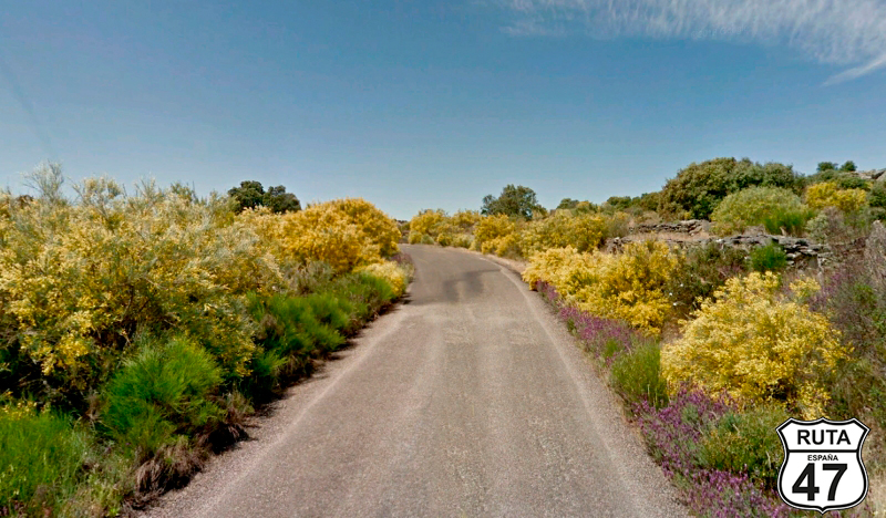
In a straight line, practically the entire stretch is surrounded by low-height trees and shrubs.
At the end of this wooded area, we begin an ascent with three curves that lead us to a junction at the entrance of Urueña.
As mentioned earlier, Urueña is one of those towns where you can't pass by without stopping. Like most places of interest, perhaps we should spend a couple of hours or three to soak up all the culture of the place, but as we don't have much time on this trip, what we have done is climb the wall that surrounds Urueña and circle the town along it. From here, there is a beautiful perspective of the fields of Castile adorned with the typical round dovecotes of this area.
Final del tramo

Tramo 6: Urueña - VA-714 (11.9 Km)
Returning to the intersection that gave us access to Urueña, we take the VP-5607 towards Villanueva de los Caballeros, a town we reach by continuing straight at a cross-shaped junction.
In this town, we have entered the region of Tierra de Campos, through which we covered a few kilometers a few days ago when we rode through the province of Palencia.
Leaving Villanueva de los Caballeros, we are accompanied for a while by the Sequillo River, which we will lose sight of soon, only to meet it again in the town of San Pedro Latarce.
At kilometer 69 of the route, we cross the A-6 in a straight line through an overpass.
Final del tramo

Tramo 7: VA-714 - ZA-714 (8.2 Km)
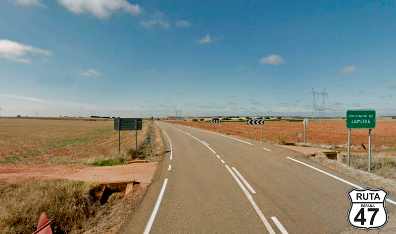
Advancing through Tierra de Campos, we reach San Pedro de Latarce, and 4 km later, we change sections entering the province of Zamora.
Now that we have left the province of Valladolid, we want to present a riddle to the reader of this story:
What is it that the province of Valladolid doesn't have, but the rest of the provinces in Spain do? Just one hint: It's better to solve the riddle at the end of Route 47.
Final del tramo
Tramo 8: ZA-714 - ZA-V-2303 (6.9 Km)
In a province and just over 30 km from the capital Zamonana, we leave Tierra de Campos, a typical landscape of Palencia and Valladolid. We progress along the ZA-714 parallel to the Sequillo River until we reach Belver de los Montes, where we bid farewell to the river by crossing it over a bridge and to this road at an intersection on the outskirts towards Bustillo del Oro.
Final del tramo

Tramo 9: ZA-V-2303 - ZA-713 (7.8 Km)
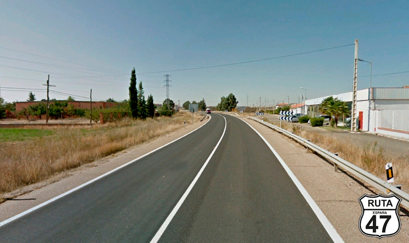
The asphalt, in good condition, of this road narrows significantly at the beginning while the first curves of this stage begin to appear, although they are still very open, with long straights still prevailing.
We pass through Bustillo del Oro, and 2.5 km later, we reach a T-shaped intersection, where we will turn left towards Toro.
Final del tramo

0

Tramo 10: ZA-713 - ZA-P-1303 (0.8 Km)
ERY CAREFUL with this short stretch of less than 1 km, as its limited length may cause you to miss the next intersection, located just 800 meters from the previous one, where we must turn right towards Villalube and Coreses.
Final del tramo

16
Tramo 11: ZA-P-1303 - Coreses (17.3 Km)
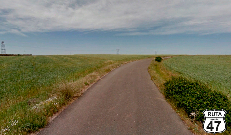
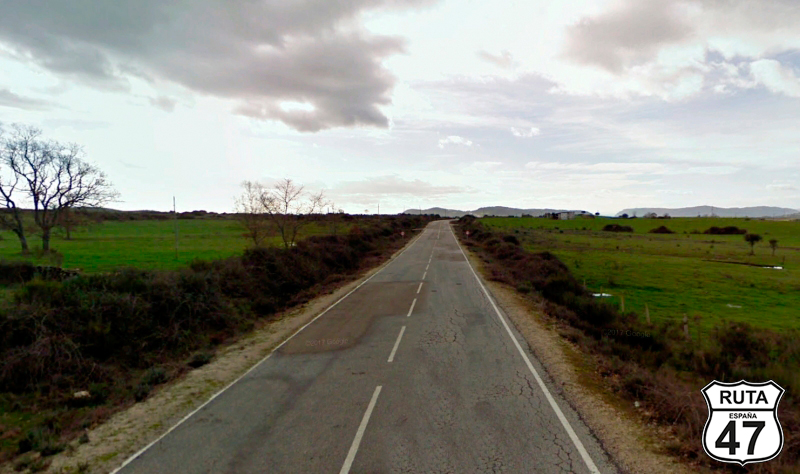
Heading southwest, we now advance towards Coreses through a flat and straight landscape, where the road dissolves into the horizon line, with distant mountain formations barely discernible.
We pass by the town of Gallegos del Pan and shortly after, we arrive at Coreses, from where we will exit via the Za-711 after turning left.
Final del tramo
Tramo 12: Coreses - N-122 (3 Km)
Now rolling through the region of Tierra del Pan, we reach the N-122 after just 3 km.
Final del tramo

Tramo 13: N-122 - Zamora (12 Km)
After an 8 km straight, wide and well-paved, a common feature on national roads like this one, we access Zamora.
It's not lunchtime yet, but knowing that we still have 275 km to go until we reach Salamanca, and once there, we would like to stroll through the historic center of the city, we venture into Zamora for a hearty lunch and to visit at least its cathedral and castle, both monuments located in the historic center of the city and very close to each other.
Final del tramo
Tramo 14: Zamora - Vecinal (20 Km)
After a two-hour stop, we leave with a good taste, both monumental and gastronomic, and head west in the company of the Duero River, making a few curves as we approach Portugal.
It's not difficult for us to leave this city, as its old town is also in the western part, so we head straight on the ZAP-2223 with some ups and downs to some small plateaus.
The landscape becomes greener as we approach the Duero, with the curves increasing as per its capricious layout.
We lose sight of the river, and after 20 km of riding on this yellow regional road, we reach an intersection where 5 roads converge. We continue on the second from the right towards Muelas del Pan.
Final del tramo

Tramo 15: Vecinal - N-122 (7 Km)
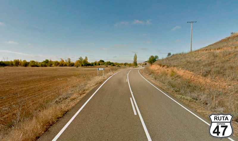
I've always enjoyed riding on local roads. Their narrowness and the absence of guardrails give them a special touch. This one isn't very twisty, is in very good condition, and at times gives you the feeling of being lost in the middle of nowhere. When I realized this detail, I couldn't help but brake abruptly, turn off the engine of my motorcycle, and savor the senses: the smell of the countryside, silence, the wind on my face, and the vastness in 360º. Not a single mountain. It's a shame that some power towers polluted the natural landscape, but otherwise, it's perfect.
Shortly after, we pass by Muelas del Pan and go under a bridge that follows the layout of the N-122. On the other side of the bridge, we turn left towards Alcanices and Braganca.
Final del tramo

Tramo 16: N-122 - ZA-324 (2 Km)
The landscape is becoming greener as we approach the Ricobayo Reservoir, which we cross over a bridge that is 220 meters long.
Shortly after, we see this town on the left, and then we leave this national road towards Ricobayo and Portugal (via Miranda).
Final del tramo

Tramo 17: ZA-324 - Villalcampo (7 Km)
Knowing that the best is yet to come, we head towards Portugal on this second-level regional road.
Through increasingly shorter straights and curves that remain open, we enter the spectacular Natural Park of Arribes del Duero when we reach Villalcampo. Here, we leave the ZA-324 to head towards Carbajosa. BE CAREFUL because the sign is not very visible.
Final del tramo
Tramo 18: Villalcampo - Pino (11 Km)
Now we head towards Pino on this regional road that seems more like a local one, very narrow, without horizontal signage.
The presence of dry stone walls reveals this fertile rural area fed by the waters of the Duero, whose course we follow at a certain distance as we reach Carbajosa and later Pino, where after a Stop, we turn left to join the ZA-321.
Final del tramo
Tramo 19: Pino - ZA-324 (13 Km)
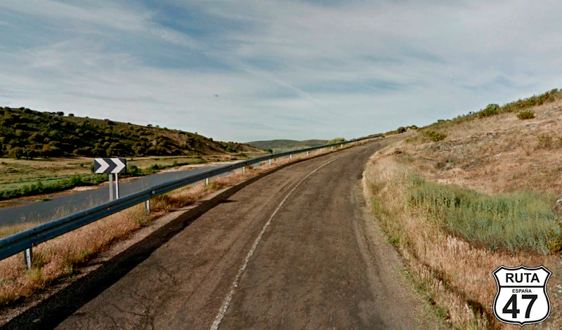
The asphalt on the ZA-321 narrows a bit and worsens noticeably after leaving Pino, but its age harmonizes more with the mountainous landscape and the curves that await us on this beautiful stretch.
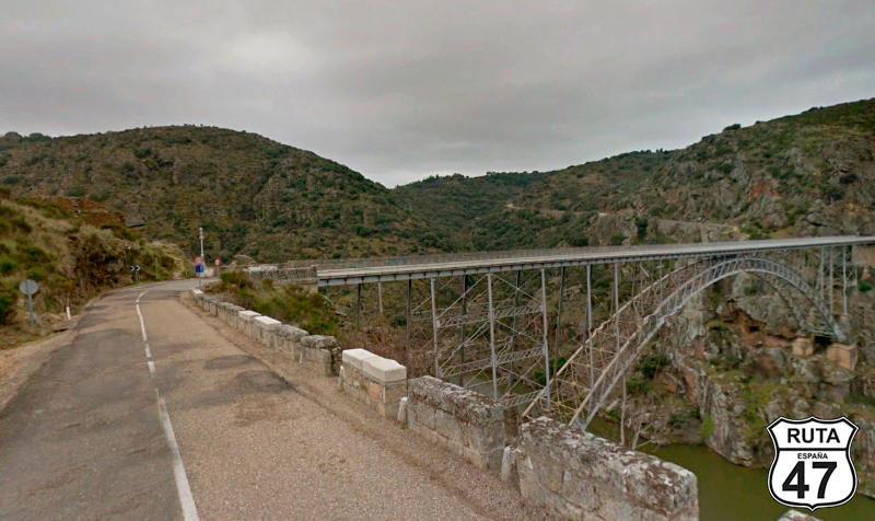
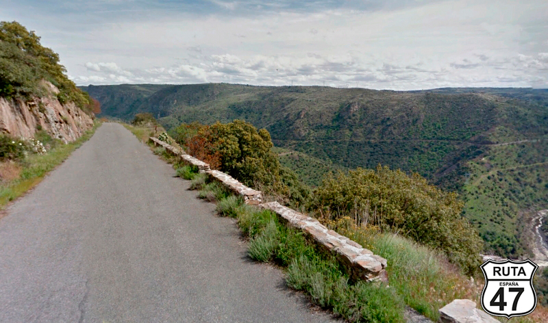
After traveling 1.5 km from Pino, we start a curved descent where you can admire the magnificent views left by the Duero River crossing through the Arribes. At the bottom, we will cross the Requejo Bridge, an engineering work inaugurated in 1914 to facilitate fluid communication between the Zamora regions of Sayago and Aliste. Previously, the only means of communication between these territories was a boat moved by ropes that sailed between Pino and Villadepera.
Once we cross the bridge, we begin a curved ascent that elevates us above the Duero, and at the top, we access Villadepera. After this town, a succession of straights takes us to Moralina, where shortly after, we turn right towards Portugal at a cross-shaped intersection located right at kilometer 17.
Final del tramo
17
Tramo 20: ZA-324 - ZA-P-2222 (8 Km)
Heading west, we drive on the ZA-324, which we have already traveled before, and we leave it to see the Requejo Bridge along a long straight road that will bring us within just 4 km of the Portuguese border, which in this area coincides with the natural course of the Duero.
After passing kilometer 25, we turn left towards Badilla and Fariza.
Final del tramo
25
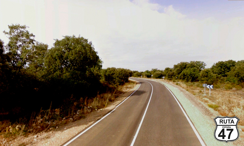
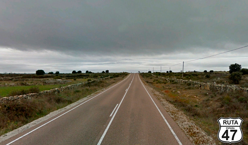
Tramo 21: ZA-P-2222 - ZA-315 (19 Km)
Continuing in the Natural Park of Arribes del Duero and in parallel, although at a certain distance from this river, we travel on this regional road adorned with stone walls on both sides, delimiting the land plots.
After 19 km of few curves and having left behind the town of Formariz, the Stop sign is located at a cross-shaped intersection, where we will continue straight towards Vitigudino, Cibanal, and Almendra.
Final del tramo
Tramo 22: ZA-315 - SA-315 (8 Km)
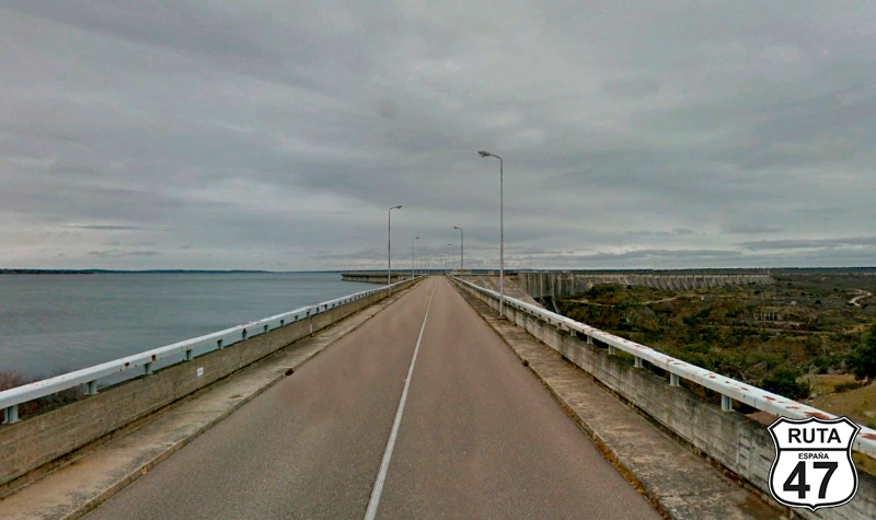
Advancing through the last stretch of the Zamora section of Route 47, we arrive at the Almendra Reservoir after 8 km, supplied by the Tormes River, which flows into the Duero River just on the border with Portugal.
Just before reaching the reservoir, a green sign informs us of the province change. We are now entering Salamanca.
Final del tramo
Tramo 23: SA-315 - Trabanca (8 Km)
We begin the first stretch in Salamanca of Route 47 by crossing the Almendra Reservoir over the huge wall of its waterfall. Right in the middle of the waterfall, you can park the motorcycle without obstructing the scarce traffic that circulates here, to approach the fence and admire the winding course of the river between mountains and rocks.
After the reservoir, a straight road of 4 km leads us to a yield sign towards Trabanca, a town that we will access through this same SA-315 after another straight road of 2.7 km.
Once in Trabanca, we will make a stop at a cross-shaped intersection to continue to the left towards Vitigudino.
Final del tramo
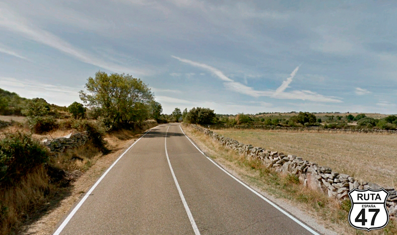
Tramo 24: Trabanca - DSA-560 (14 Km)
BE VERY CAREFUL AT THE BEGINNING OF THIS STRETCH, as we will ride 230 meters on this road that we haven't considered due to its short route. After this distance, we will turn right towards Cabeza de Framontanos. The church tower can be used as a reference, as we will pass by it.
At this last intersection, we have already taken the DSA-561, where we will ride along this beautiful and narrow road for 14 km with worn asphalt that starts to become more curved just before finishing this stretch, near the surroundings of Pereña de la Ribera, where we will turn left after a stop.
Final del tramo
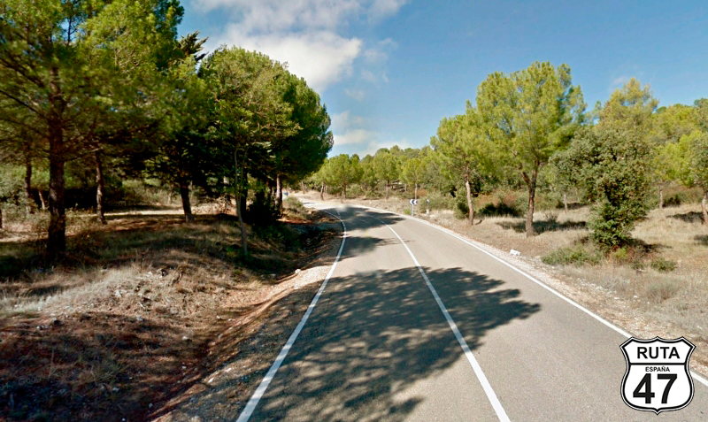
Tramo 25: DSA-560 - SA-314 (8 Km)
With 150 km still ahead, we continue through this beautiful Natural Park, with green landscapes and well-maintained roads tracing open curves for 6 km that will lead us to tighter curves in a descent. At the bottom, we cross a stream, after which another small and curved ascent takes us to the end of the stretch located next to an intersection where we will turn right towards Masueco and Aldeadavila.
Final del tramo
Tramo 26: SA-314 - Masueco (2 Km)
The asphalt widens as we join this green regional road that, after a few curves, brings us closer to Masueco, located only 2 km away.
With the tower of Masueco in sight, we turn left towards Barruecopardo.
Final del tramo
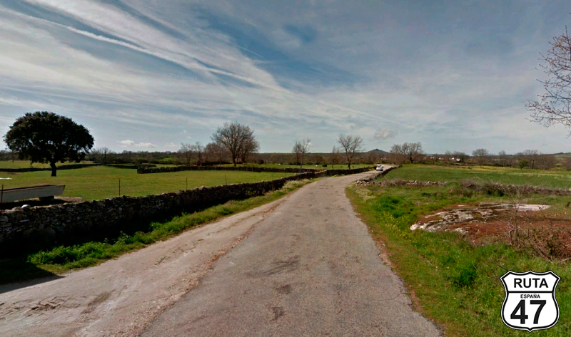
Tramo 27: Masueco - La Zarza de Pumareda (6 Km)
Returning to the third-level regional roads, the 6 km of this narrow stretch take us to La Zarza de Pumareda in just 5 minutes.
An intersection where we will turn left towards Barruecopardo marks the end of this stretch.
Final del tramo
Tramo 28: La Zarza de Pumareda - Barruecopardo (11 Km)
We now head towards Barruecopardo, integrated into the Vitigudino Region, whose location at a crossroads constitutes an important entry point to the Natural Park of Arribes del Duero. We reach it after 11 km on a practically straight route.
In the center of the town, a curve leads us towards Vilvestre and Saucelle.
Final del tramo
Tramo 29: Barruecopardo - SA-330 (7 Km)
Very close to the border with Portugal, we start this stretch heading west.
After a series of straight sections for 7 km, we continue straight towards Saucelle and Salto de Saucelle.
Final del tramo
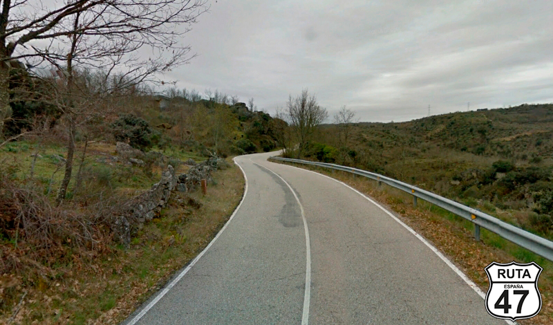
Tramo 30: SA-330 - Lumbrales (26 Km)
What we are about to do now is undoubtedly the most curved stretch of this stage.
Just 2 km from its beginning, we reach Saucelle. From here, 19 km of curves of all kinds will make us enjoy a winding route that brings us down to the Huebra River, which we will cross over the narrow La Molinera bridge.
The views of the whimsical course of the river flowing through a valley are a delight for the eyes both in the descent that brought us here and during the ascent that will return us to the same altitude through a series of curves of all kinds.
Another less steep descent takes us to cross the Camaces River over a narrow and beautiful stone bridge, after which a succession of open curves will bring us to Lumbrales. Once here and after a stop, we will join the last stretch of this stage towards Vitigudino and Salamanca.
Final del tramo
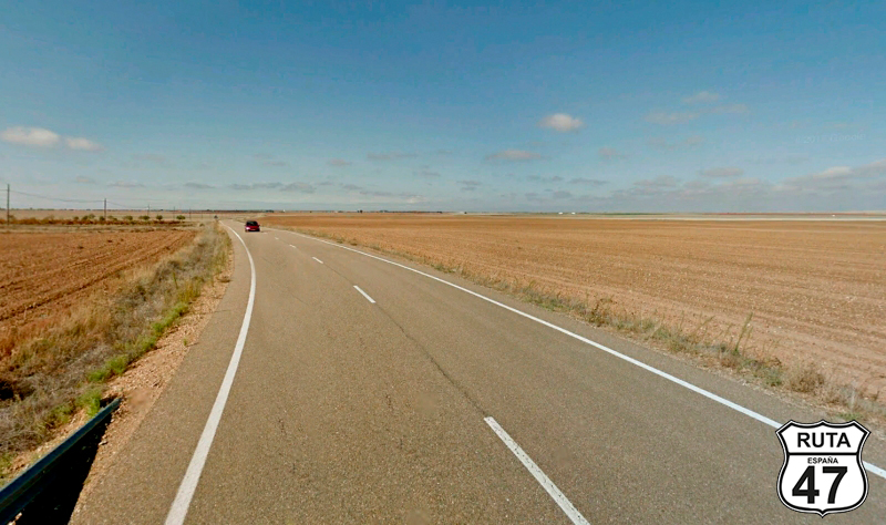
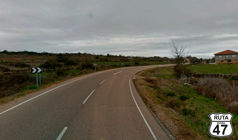
Tramo 31: Lumbrales - SALAMANCA (96 Km)
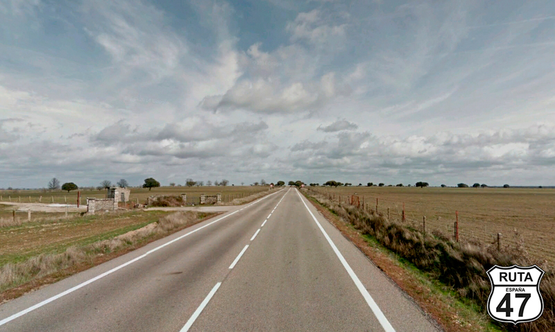
With the fatigue of 300 km behind us, we tackle this last, straight, and fast stretch of 96 km that will take us to the capital of Salamanca in just over an hour.
After 16 km, we leave the Natural Park of Arribes del Duero, and through long straights, we reach our final destination: Salamanca, the quintessential student city.
Final del tramo