


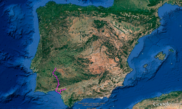
Distance 390 Km. distributed across roads of the following types:
Autopistas y autovías: 30 km. Carreteras Nacionales: 115 km. Autonómicas de 1º nivel: 26.8 km. Autonómicas de 2º nivel: 143.4 km. Autonómicas de 3º nivel:74.8 km.
Sections: 16
Autor: Gérard
Descripción:
Tramo 1: BADAJOZ - Olivenza (27.4 Km)
With the sunrise, we leave behind the city of Badajoz and start this twenty-fifth stage of Route 47, which will take us to Seville over almost 400 km.
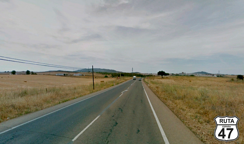
We look for the EX-107, heading south, and roll straight on wide asphalt that will take us to Olivenza in just about 20 minutes.
At the entrance, we continue straight towards Alconchel at a roundabout next to a white silo, and shortly after, we access another larger roundabout where we will also continue straight towards the same locality.
500 meters later, we turn right towards San Benito de la Contienda, Cheles, and Villareal.
Final del tramo

25
Tramo 2: Olivenza - Cheles (26.8 Km)
After crossing Olivenza, we look for the EX-135 and head south on this wide and well-paved road where the landscape becomes greener as we advance, while the first open curves begin to appear, allowing us to warm up the tires on a zigzagging stretch until we reach Cheles, where the landscape has once again become more arid.
Final del tramo

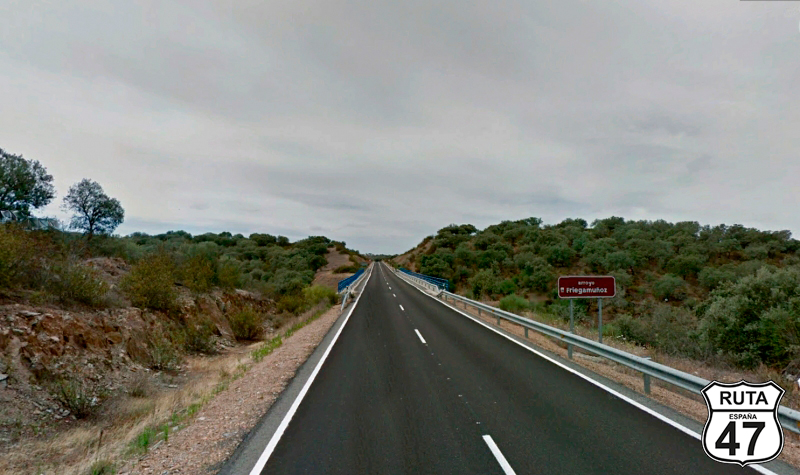
Tramo 3: Cheles - Villanueva del Fresno (19 Km)
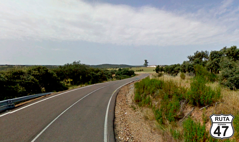
We leave Cheles heading to Villanueva del Fresno on this well-paved regional road, whose width reveals its third level, over a mostly straight terrain until a series of open curves between hillocks of tree clusters begin, just as we cross the Arroyo de los Cabriles.
Shortly after, a gentle ascent with a similar descent takes us to cross the Arroyo de Friegamuñoz, which, like the previous one, flows into the Alqueva Reservoir, located on the Portugal border, and from which we are moving further away.
Before finishing this stretch, we cross two more streams, Catalinzao and Cuncos, whose signs are their only indication of presence.
Without entering Villanueva del Fresno, we make a stop and turn left towards Badajoz. Shortly after, we reach a roundabout where we will take the second exit to continue straight towards Oliva de la Frontera and Zafra.
Final del tramo

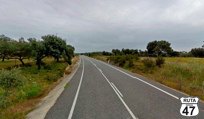
Tramo 4: Villanueva del Fresno - Oliva de la Frontera (26.8 Km)
A straight road of 2 km through an arid landscape takes us to a stretch of open curves between hillocks populated with trees, as we cross the Alcarrache River.
Later, a mostly straight stretch takes us to cross two more waterways: the Godolid River and the Zaos Stream, when at the 100 km mark of the stage, we reach Oliva de la Frontera.
In the final part of this town, we turn right to head towards Encinasola.
Final del tramo
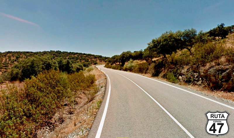
Tramo 5: Oliva de la Frontera - HU-9100 (14 Km)
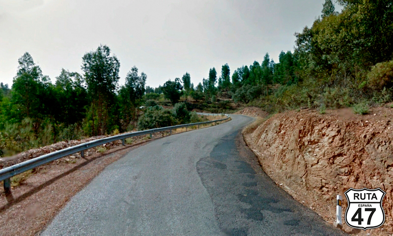
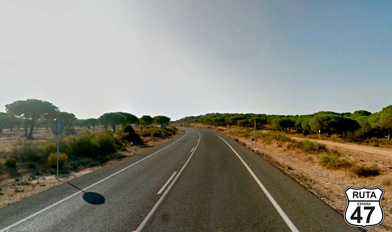
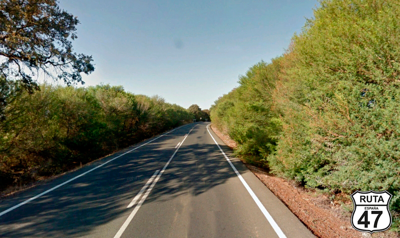
We leave this town with the name of an olive by the EX-317, a second-level regional road, and immediately the curves begin, all open, allowing us to zigzag at the maximum allowed speed on a solitary and characteristic wide asphalt for these green roads.
Midway through the stretch, we cross the Ardila River and continue our route between open curves, entering the Sierra de Aracena and Picos de Aroche.
Right here, a sign announces the entrance to Andalusia.
Final del tramo

13
Tramo 6: HU-9100 - Encinasola (6 Km)
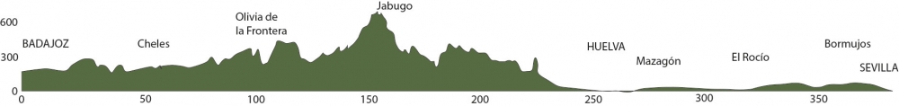
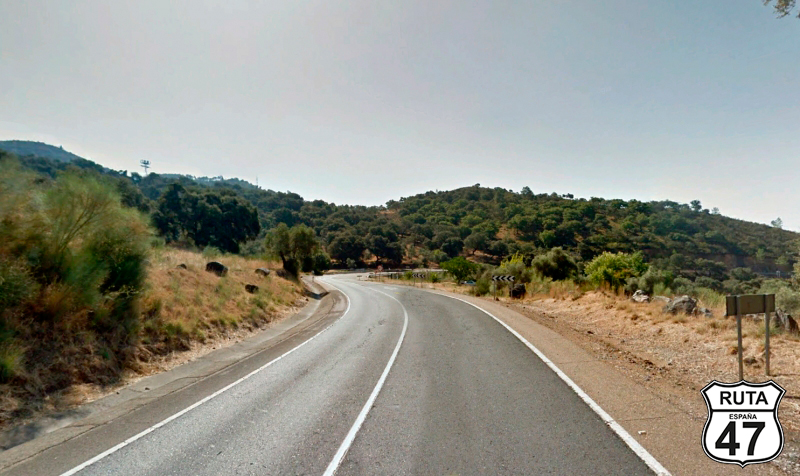
With 39 provinces covered in 14 autonomous communities, we enter Andalusia, the last autonomous community we will explore on Route 47. We do so through the northern part of Huelva, crossing the Sierra de Aracena and Picos de Aroche on a road repaired and widened in 2013. Although it still has several curves, it has straightened a bit to make it faster.
Through a typical mountain landscape, we reach Encinasola, located in the heart of the Sierra. At its entrance, we head towards Portugal at a junction where we yield.
Final del tramo
Tramo 7: Encinasola - N-435 (23 Km)
We start this stretch skirting the town of Encinasola. Without covering a single kilometer, we turn left towards Huelva, while still bordering this village even more.
The southern direction takes us further into the Sierra de Aracena and Picos de Aroche, through a winding route between increasingly curved valleys and in the company of the Murtigas River, which accompanies us for a while.
After the midpoint of the stretch, we begin a winding and gentle ascent, and the descent will lead us to turn right at a stop, located after a narrow stone bridge that crosses the Murtigas River again, towards Huelva and Jabugo.
Final del tramo

0
Tramo 8: N-435 - A-49 (103 Km)
Now we embark on the longest stretch of this stage and one of the longest in Route 47.
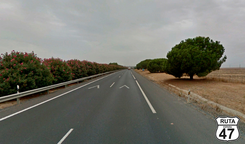
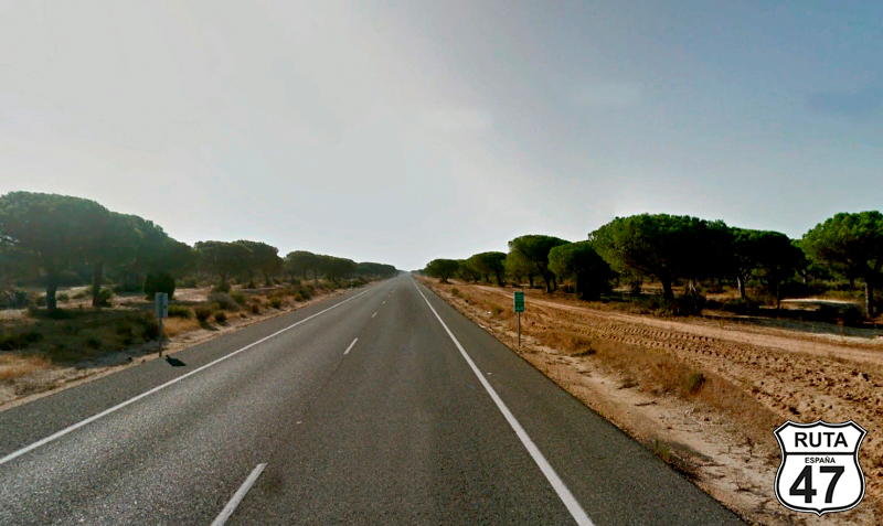
The 103 km that make it up will be covered on a National road, which, like all of this type, is wide, generally well-paved, and with more traffic than regional roads. This one is no exception, but in addition, it has a winding layout in its first 40 km, gradually smoothing out the curves as we approach the end.
During the journey, we pass by the towns of La Nava, which we skirt on the other side of the Murtigas River, Jabugo, famous among other things for its ham, Zalamea la Real, which we enter outside the Sierra de Aracena and Picos de Aroche, Valverde del Camino, Beas, and Trigueros, located just before the end of the stretch, where we will join the A-49 towards Huelva and Portugal.
Final del tramo

Tramo 9: A-49 - H-31 (2 Km)
Now we are driving on the fast A-49 for only 2 km, to continue in the left lane towards Huelva, at exit 77, to join another highway.
Final del tramo

77
Tramo 10: H-31 - HUELVA (7 Km)
The H-31, a fast and divided road like the previous stretch, takes us to the city of Huelva over 10 km.
We are already at kilometer 255 of the route, so we head towards the cathedral, where surely there is some place nearby where we can have a couple of tapas. With a full stomach, we will then tackle the remaining 135 km to reach our destination.
Final del tramo

Tramo 11: HUELVA - N-442 (10 Km)
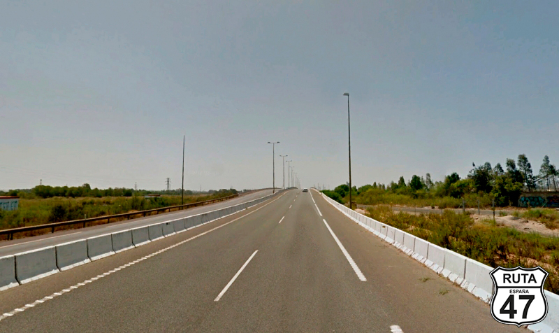
We leave Huelva on the H-30, another fast road that surrounds this city. Heading south, we cross the Tinto River over a long and wide bridge. At the end, we inadvertently join the N-442.
Final del tramo

Tramo 12: N-442 - A-494 (12 Km)
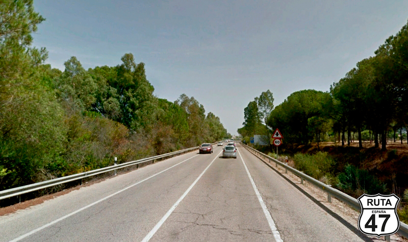
The first part of this stretch, while still in the industrial area of Cuenca, is divided, resembling more of a highway than a national road. Shortly afterward, it transforms into what it is: a National road, wide and well-paved, lacking curves in this case.
Upon entering Mazagón, we reach a roundabout where we will continue straight, taking the second exit towards Matalascañas.
Final del tramo

Tramo 13: A-494 - A-483 (28 Km)
Final del tramo

Tramo 14: A-483 - A-474 (28 Km)
Final del tramo
14
Tramo 15: A-474 - Bormujos (46 Km)
Final del tramo
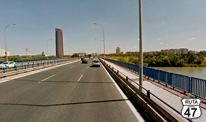
Tramo 16: Bormujos - SEVILLA (11 Km)
Eager to rest, we arrived at the hotel after driving for 7 minutes on this highway, which takes us into this charming city crossing the Guadalquivir River and the Alfonso XIII canal.
Tonight, we will see the Giralda of Seville, and after that... we'll see.
Final del tramo