


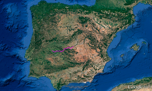
Distance 317 Km. distributed across roads of the following types:
Autonómicas de 1º nivel: 107 km. Autonómicas de 2º nivel: 47.1 km. Autonómicas de 3º nivel:144.6 km. Asfalto o cemento sin nombre: 18.3 km.
Sections: 19
Autor: Gérard
Descripción:
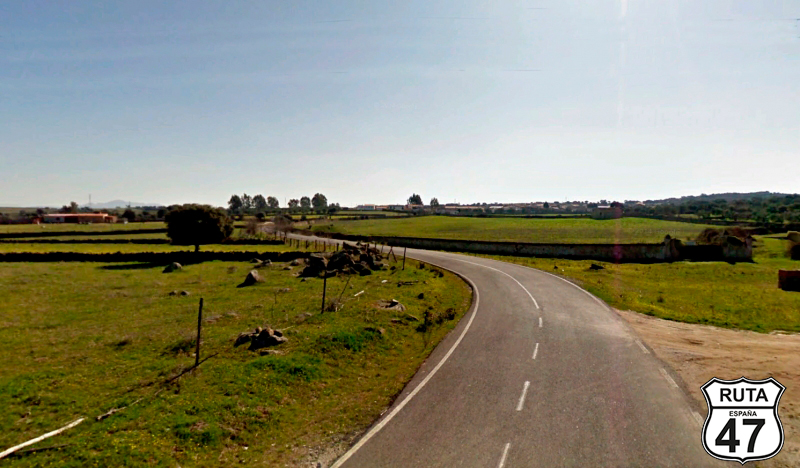
Tramo 1: CÃCERES - Torremocha (24 Km)
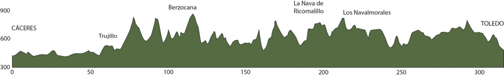
After yesterday's well-deserved rest and the good feeling of having visited the historic part of Cáceres, we leave behind this beautiful city to head to Toledo, another charming and historic city that even has a lovely name.
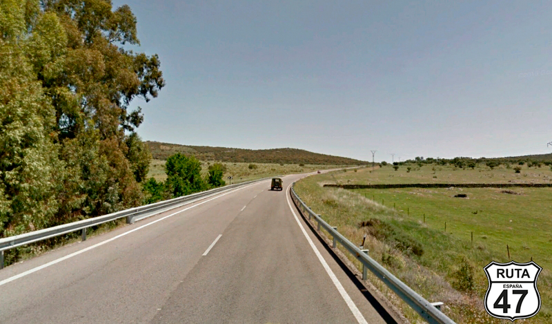
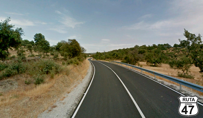
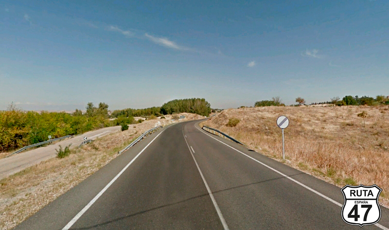
As usual, instead of taking a fast route like the A-58, we prefer to take a detour and do it on a secondary road, specifically the EX-206, a second-level regional road. Due to its proximity to the capital of Cáceres and the topography of this area, it's wide and has few curves.
After 24 km, leaving behind the towns of Torreorgaz and Torrequemada, we reach Torremocha, where we'll turn left towards Botija. CAUTION: the intersection is not well signposted.
Final del tramo

Tramo 2: Torremocha - Botija (10.9 Km)
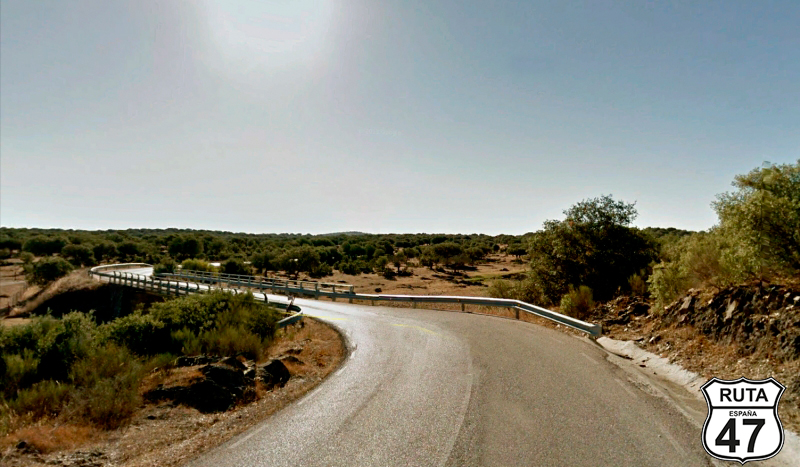
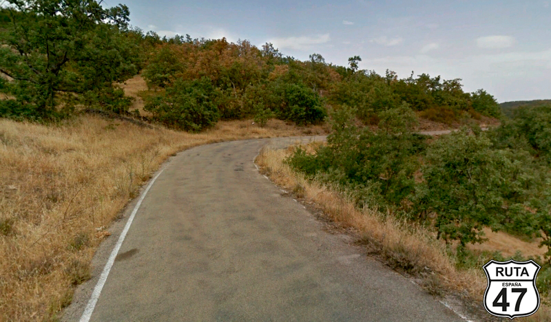
Today's stage is quite full of curves, but we'll still ride a couple more straight stretches before the real fun begins. In the meantime, we cruise along long straights that run through cultivated fields until, in just 2 km, the landscape changes, replacing the crops with a more typical dehesa landscape. Small trees are scattered haphazardly on both sides of the road.
The curves, although open, start to make their presence felt as we approach Botija, where we'll turn right to head towards Ruanes.
Final del tramo

Tramo 3: Botija - Ruanes (5.7 Km)
Pastures are present in this local stretch, adorned with some trees, and the plots are perfectly delimited by dry stone walls that are ecological, aesthetic, and practical.
After kilometer 40, we reach Ruanes, where we'll exchange this local road for a third-level regional road at a junction where we'll turn left towards La Cumbre and Trujillo.
Final del tramo
Tramo 4: Ruanes - Trujillo (19.4 Km)
Two practically straight stretches separated by the town of La Cumbre bring us closer to the beautiful town of Trujillo.
I visited Trujillo on a previous occasion, and I really loved it. It's still too early for a long stop, but I can't resist the temptation to delve into its historic center to reminisce about that trip and have a coffee in its Main Square, adorned, among other things, by the impressive Renaissance-style Conquest Palace.
Final del tramo

Tramo 5: Trujillo - CC-35 (11.1 Km)
Heading east, a direction we will consistently follow until reaching the Mediterranean coast again in Valencia in two days, we continue along this road with a green designation for 11 km. It is practically composed of four straight stretches. Just after surpassing kilometer point 87, we turn left towards Madroñera and Aldeacentenera.
Final del tramo
87
Tramo 6: CC-35 - Madroñera (3.1 Km)
Just 3 km separate us from Madroñera, a town we access through a straight stretch that leads to its industrial area.
After this zone, we enter the inhabited part of the town, and we must be CAUTIOUS, as we need to turn right to drive through a narrow street towards Garciaz. The two existing signs are a bit precarious and hidden. One, located on the left, hangs from a lamppost next to a metal fence with some palm trees behind it, and the second, painted on the wall, appears after we have already entered the street, which, by the way, is La Calle República Argentina.
Shortly after passing by Madroñera's modest bullring, we reach an unmarked intersection, where we will turn right.
Final del tramo
Tramo 7: Madroñera - CC-23.4 (12.6 Km)
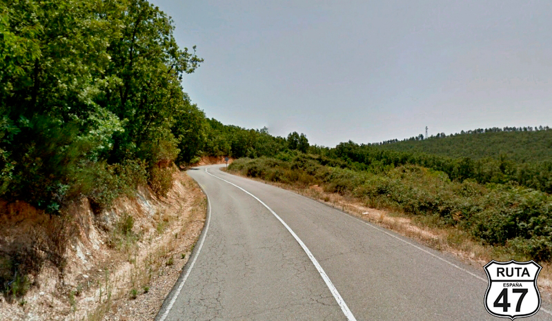
As we begin this stretch along this local road, curves start, and they will continue for 160 km across various sections.
In the midst of the ascent and after just a few meters, we reach the Mirador de la Madroñera, where we stop for 5 minutes to admire the landscape and continue ascending. Then, we embark on a curved descent that takes us to a junction with a stop sign, where we will turn right towards Garciaz.
Final del tramo

Tramo 8: CC-23.4 - Garciaz (2 Km)
Not that the asphalt in the previous stretch is in bad condition, but undoubtedly, this one is much better. Perhaps it's wider than what we're used to seeing on these types of third-level regional roads. This one, in particular, will take us to Garciaz after only 2 km of riding.
Without entering this town, we take the second exit at a roundabout, heading towards Berzocana.
Final del tramo

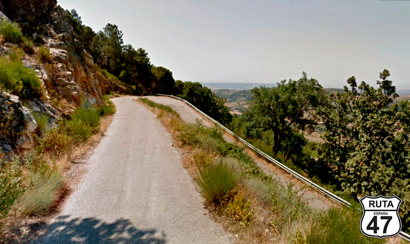
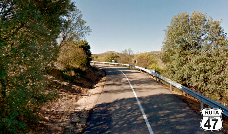
Tramo 9: Garciaz - Berzocana (23.2 Km)
Considerably narrower than the previous regional road, the CC-29, a regional road of the same type, is very well-paved. However, as we move away from Garciaz, the road surface deteriorates, but it is still perfectly drivable.
An initial ascent of 3 km takes us 150 meters above sea level, and its corresponding curved descent brings us down another 250 meters over 4.5 km.
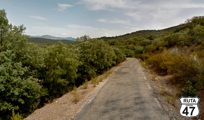
Three more ascents lead us to Berzocana in this stretch of just over 23 km along this very narrow and slow road. This circumstance allows us to take advantage and admire the beautiful landscape.
Upon reaching this town, we turn left towards Logrosán.
Final del tramo

Tramo 10: Berzocana - CC-21.4 (4 Km)
Located at the foot of the Sierra de Villuercas, we begin this stretch, composed of a curved ascent to the Berzocana pass in its first 4 km. At the summit, we take the second exit at a roundabout, leading us to Cañamero.
If, instead of taking the second exit, you choose the first, you will still reach Cañamero. The difference lies in the layout and width of the road.
Final del tramo
Tramo 11: CC-21.4 - Cañamero (8 Km)
Of the two options leading to Cañamero, we have undoubtedly chosen the more winding and narrow one, always meeting a minimum standard of asphalt.
So, we begin this descent that will take us to this town known for its Vino de Pitarra, and in the vicinity of which is the Cueva Chiquita or Cueva de Avarez, which houses a large collection of cave paintings and an interesting legend.
Initially wide, its layout narrows significantly, and its curved descent, zigzagging down a hillside, brings us to the 124th kilometer of the route.
At the entrance of Cañamero, we will turn left towards Guadalupe, and at its exit, we will make a stop to continue straight.
Final del tramo
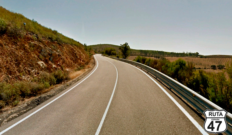
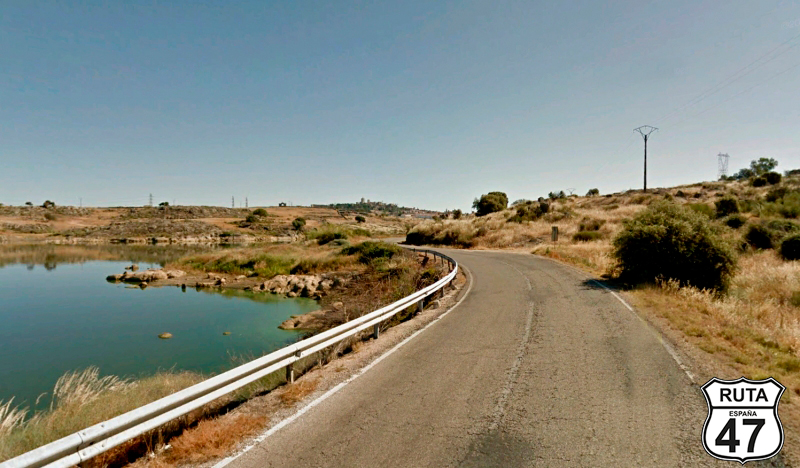
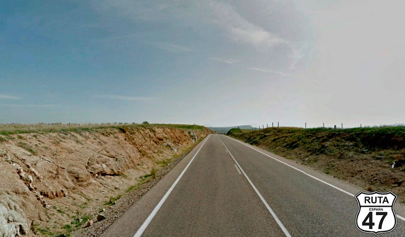
Tramo 12: Cañamero - CM-411 (46 Km)
Leaving Cañamero behind, we continue on this first-level regional road, whose beginning is built between valleys, and then ascend along the slope of the Puertollano pass until we reach its summit at 800 meters in height.
In its rather straight descent, we cross the Guadalupejo River in the vicinity of Guadalupe, starting here a stretch of 30 km with curves of good and wide asphalt.
At the end of the stretch, located at the 170th kilometer of the route and coinciding with the summit of the Puerto de San Vicente, we leave the province of Cáceres to enter Toledo, belonging to the Castilla-La Mancha region.
Final del tramo

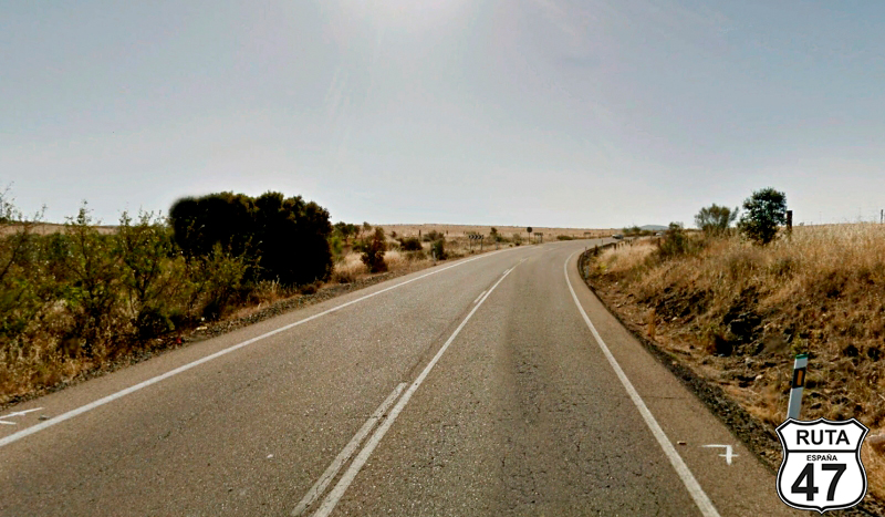
Tramo 13: CM-411 - La Nava de Ricomalillo (21 Km)
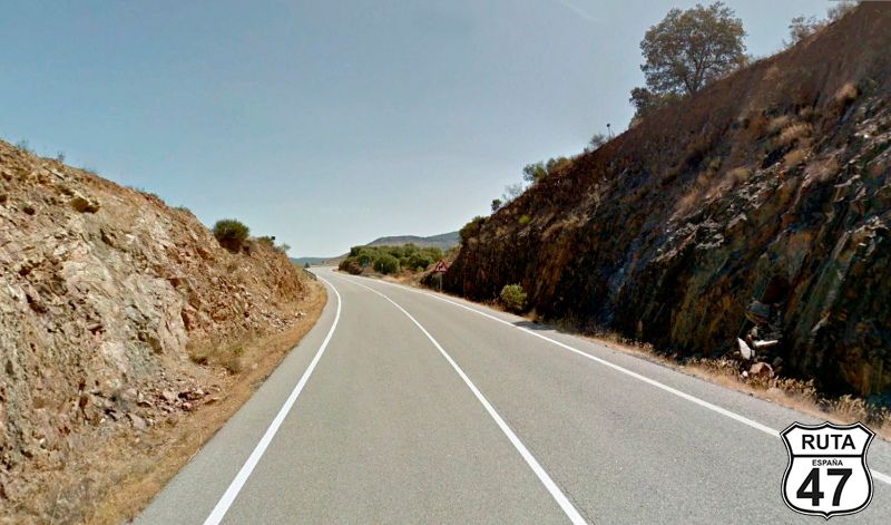
The straight descent of this low-altitude pass takes us to the town of Puerto de San Vicente, and shortly afterward, we enter a roundabout where we will take the first exit towards La Nava de Ricomalillo.
We proceed on this orange regional road belonging to the Castilla-La Mancha region, passing through the town of El Campillo de la Jara, concluding the stretch in La Nava de Ricomalillo.
Final del tramo
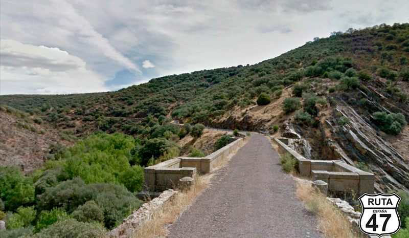
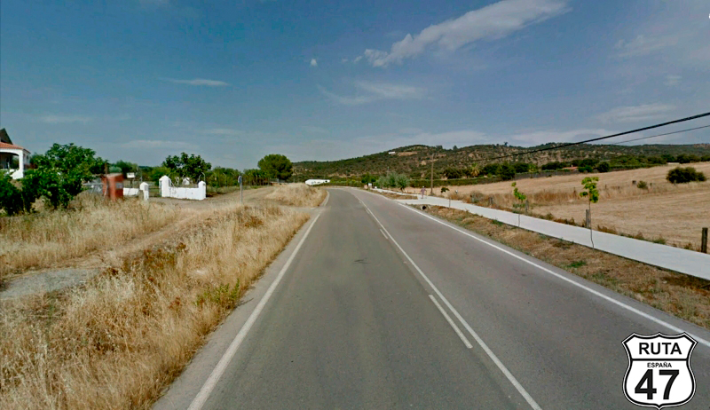
Tramo 14: La Nava de Ricomalillo - Los Navalmorales (46 Km)
Avoiding the road that borders La Nava de Ricomalillo, we enter this town belonging to the Jara region, joining the CM-4171 towards Buenasbodas, a town that we reach through a stretch of rather open curves.
The asphalt is wide and in good condition, but after continuing straight past a crossroads that would take us to Robledo del Mazo, it narrows significantly. The curves become more abundant and tight, and the asphalt deteriorates.
At the base of a small mountain, we cross the Gevalo River over a narrow stone bridge and begin an ascent along its slope. At the top, we make a 180º turn in a hairpin curve to ride on a straight road for 3 km. At the end of this straight, we begin the descent that takes us to the town of Espinoso del Rey.
From here, we start riding straight until the end of the stretch located in Los Navalmorales, except for a 4 km section where we will curve a bit to cross the Pusa River.
Final del tramo

Tramo 15: Los Navalmorales - CM-4102 (1 Km)
It's already noon, so we enter this large town to grab a bite and continue the route to get to Toledo as soon as possible and see if we have time to do some sightseeing in this charming city.
After an hour-long break, we return to the roundabout in front of the characteristic silo of this town to continue the route on the CM-401, heading towards Talavera de la Reina.
After riding just 1 kilometer on this first-level regional road, we change roads by taking a right turn towards Talavera de la Reina.
Final del tramo

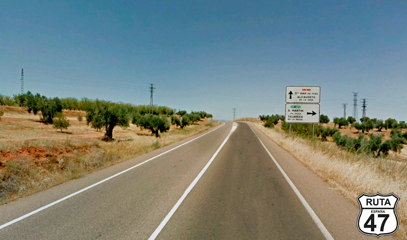
Tramo 16: CM-4102 - San Martín de Pusa (7 Km)
Having left behind the curves of this stage, we continue the route through a series of straight stretches that will bring us to Toledo in approximately an hour, covering the remaining 80 km to our destination.
Alternating between cultivated fields and olive groves, we reach San Martín de Pusa, on a straight asphalt where the few existing curves are open.
Once in the center of this town, we turn right towards Villarejo de Montalbán.
Final del tramo
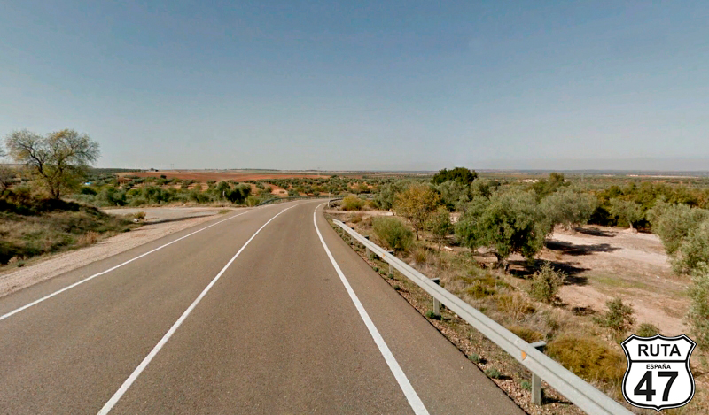
Tramo 17: San Martín de Pusa - San Martín de Montalbán (28 Km)
Traveling on this wide road with a Toledan designation, surprisingly well-maintained for a third-level regional road, allowing us to ride at the legal speed limit, we leave behind the town of Villarejo de Montalbán to approach San Martín de Montalbán. In the heart of the town, we turn right onto Clemente Covisa Street, heading towards Menasalbas and Navahermosa.
Final del tramo
Tramo 18: San Martín de Montalbán - CM-401 (5 Km)
A long straight stretch of 5 km separates us from the end of this section. At the end, we will cross a roundabout straight ahead and a second one, which we access after passing under the CM-401. We will join the CM-401 in the third exit, heading towards Toledo.
Final del tramo

Tramo 19: CM-401 - TOLEDO (39 Km)
Eager to reach the hotel, we head to our destination for the day on this wide and well-paved regional road, consisting of long straights and very few curves.
Shortly before arriving, we pass through the towns of Galvez, which we will cross through the middle, and Polán, which we will bypass using a variant built to free it from the traffic near the Toledo capital.
After a short 30 minutes, we enter Toledo, crossing the Tajo River.
Final del tramo