


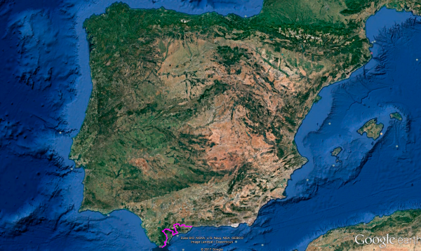
Distance 358 Km. distributed across roads of the following types:
Autopistas y autovías: 17 km. Carreteras Nacionales: 18.8 km. Autonómicas de 2º nivel: 203.2 km. Autonómicas de 3º nivel:119 km.
Sections: 17
Autor: Gérard
Descripción:
Tramo 1: Tarifa - CA-9208 (18.8 Km)
We don't want to leave Tarifa without reaching the southernmost point of the Iberian Peninsula. After obtaining the necessary permits to access Isla de las Palomas, where Punta de Tarifa is located, and with the help of Javier from www.mundoposibilidades.com, who facilitated our access, we cross the passage to the island at 9 in the morning. Next to the lighthouse, we immortalize the moment with beautiful views of the African coast.
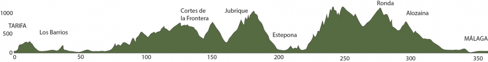
We can't stay there for long as 360 km of curves await us until we reach Malaga. With great gratitude, we bid farewell to this Navarrese settled in Tarifa and set course for the capital of Malaga, looking for the N-340, which will bring us closer to Algeciras through a wide, well-paved route, and at times with sea views allowed by the clearings of the Strait of Gibraltar Natural Park.
At the entrance of Algeciras, we enter a roundabout where we will continue straight towards Malaga and then turn left at the first intersection just 100 meters from the roundabout we just passed.
Final del tramo

Tramo 2: CA-9208 - CA-9209 (7.2 Km)
Moving through streets lined with low-rise buildings, we leave Algeciras on the CA-9208, a regional road that, skirting the town of Algeciras, will take us to the next stretch with very good, narrow asphalt and a series of zigzag curves located before reaching the Algeciras penitentiary.
After passing the prison, a 1.5 km straight road will lead us to a T-shaped intersection where we will turn left towards Los Barrios.
Final del tramo

0
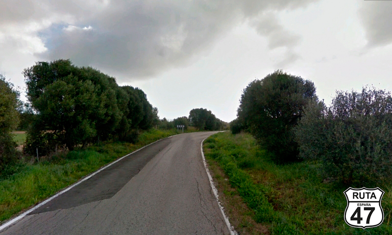
Tramo 3: CA-9209 - Los Barrios (4.5 Km)
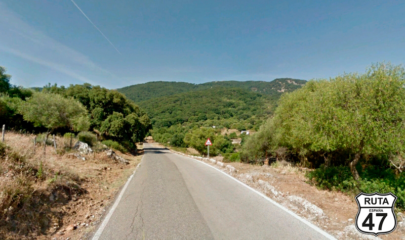
Continuing with successive nomenclature from the previous stretch, we begin this short section of 4.5 km with the characteristic view of several stork nests located on each of the electric poles at the beginning of the stretch.
More or less halfway through the section, we pass by one of the 21 Forest Defense Centers in Andalusia responsible for carrying out the necessary actions for defense against forest fires.
After passing this Forest Defense Center, we cross the Cañas or Palmones River, at the end of which a sign announces that we have just entered the municipal area of Los Barrios.
Shortly thereafter, and after passing under the A-381, we reach the end of the section located in a roundabout adorned with a fountain where we will take the third exit, turning left.
Final del tramo

Tramo 4: Los Barrios - CA-9207 (2.3 Km)
Skirting the town of Los Barrios, we leave it heading North on this also well-paved third-level regional road.
After covering just over 2 km of the stretch, we continue to the right at a fork that will take us towards Jimena de la Frontera.
BE CAREFUL with this fork as the sign indicating it is a bit hidden.
Final del tramo

98
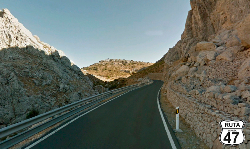
Tramo 5: CA-9207 - A-405 (11.1 Km)
We begin here the first curved stretch of this wonderful and motorcyclist stage.
Initially in an open landscape, we ride on the CA-9207 with a slight ascent that becomes more pronounced as we cover 2.8 km. Then, we turn left to continue on the same road always towards Jimena de la Frontera. At this point, we start a curved descent that will lead us to another ascent, the corresponding descent of which will take us to an intersection next to a football field where we will turn left also towards Jimena de la Frontera.
The asphalt in this stretch is very well paved, and despite not having horizontal signage, the road is not very narrow.
Final del tramo

11
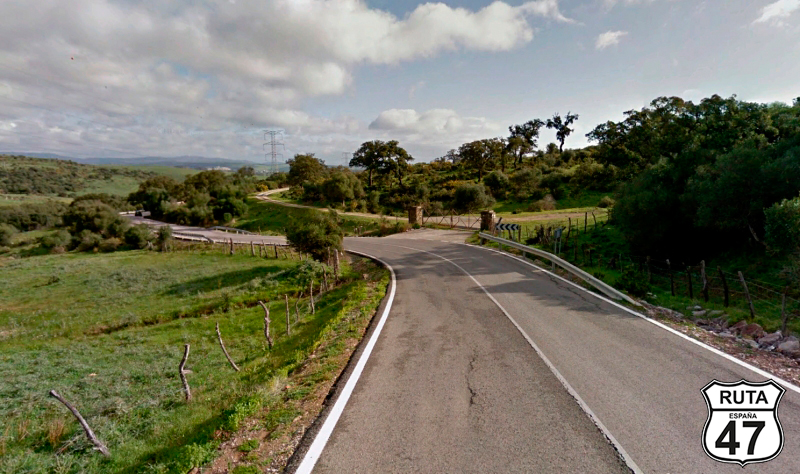
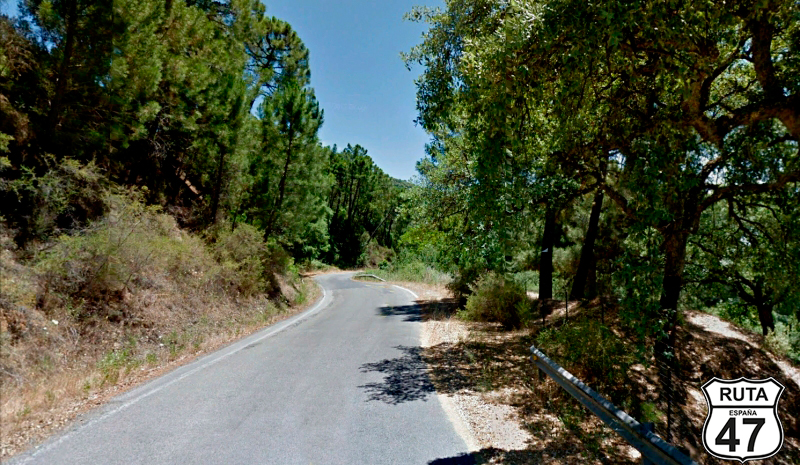
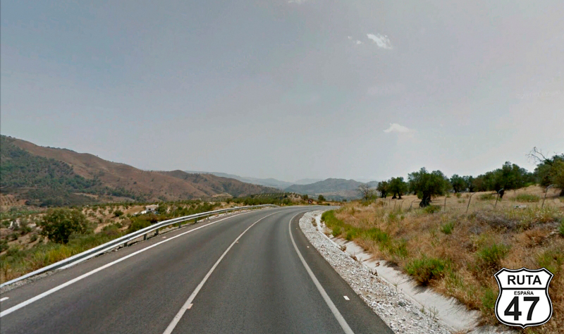
Tramo 6: A-405 - CA-8201 (28.2 Km)
Between yellow roads, we now ride on this green-named road that, in its 28 km, will serve as a prelude to the first of the long curved stretches of this Cádiz-Málaga route.
Bordering the Los Alcornocales Natural Park, we pass by Castellar de la Frontera, Los Ángeles, which we will cross through its urban center, and Jimena de la Frontera, a quiet typical Andalusian village with white houses. Here, we will make the first stop of this stage to access its castle located on a hill where we will park the motorcycle 200 meters away and enjoy the wonderful views that reach up to Gibraltar on clear days.
Back on the A-405 and a few meters from PK 20, we turn left towards Ubrique.
Final del tramo

20
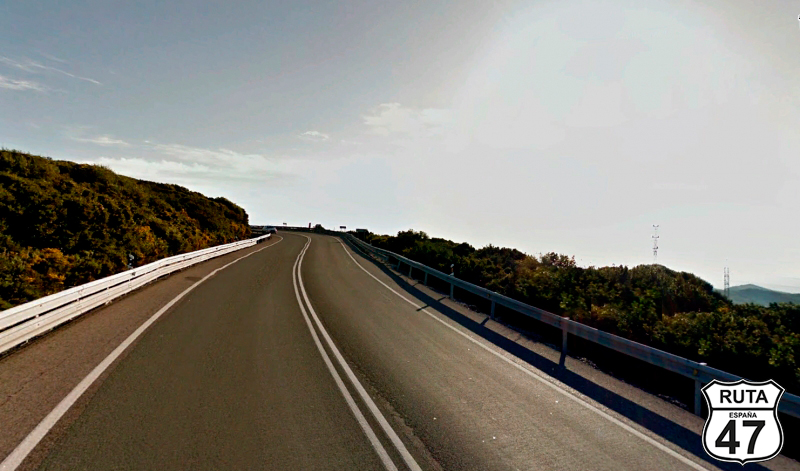
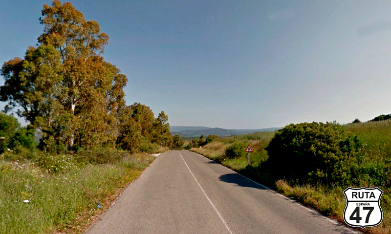
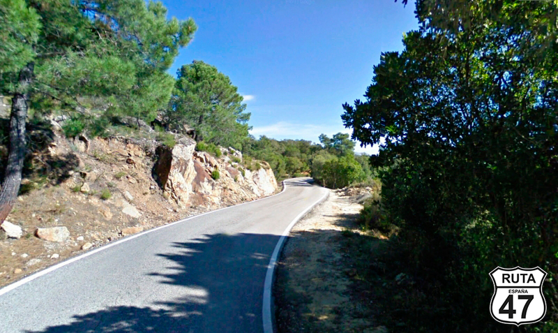
Tramo 7: CA-8201 - A-2304 (28.9 Km)
Now we embark on the first long stretch of curves where there isn't a straight road for 200 meters along 126 km spread across the next 6 sections.
In this particular stretch of almost 29 km, we head north, entering the Los Alcornocales Natural Park with a constant and gentle ascent alongside the Hozgarganta River, which flows through the Moracha Gorge, gradually becoming visible in the height.
After reaching PK 12 of this narrow third-level regional road, we briefly enter the province of Málaga, covering 14 km in the province of Málaga before re-entering Cádiz.
Shortly after, we arrive at an intersection where we turn right towards Ubrique, located at the summit of Puerto de Galiz, where we can stop for coffee at Venta del Puerto de Gáliz, right there.
Final del tramo

29
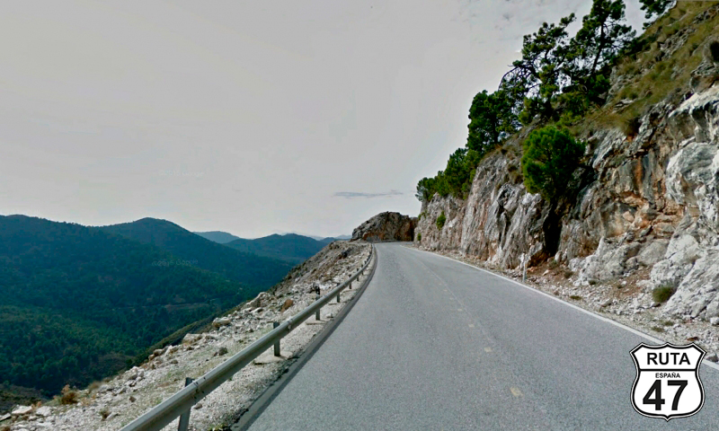
Tramo 8: A-2304 - A-373 (20 Km)
With 100 km covered, we now progress on the A-2304, a narrow, winding road without horizontal signage, also running through the Los Alcornocales Natural Park.
After a short and gentle descent with beautiful views, we begin a 12 km ascent that will take us from 400 to 700 meters in altitude, descending again to 550 meters, and continuing on a flat road through a very curved, closed, and mountainous landscape.
Just before reaching the end of the section at the summit of Mojón de la Vibora, at 595 meters above sea level, the landscape opens up, revealing rock formations ahead and to the left, where a road we won't take would lead to Ubrique. Here, there's a viewpoint where it's worth stopping for a few minutes to admire the beautiful views of this area.
If you haven't stopped for a drink and to stretch your legs at Venta del Puerto de Gáliz a while ago, a few meters after this viewpoint, you have another opportunity.
Final del tramo

0
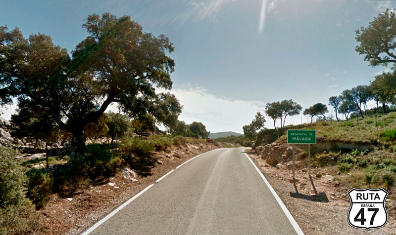
Tramo 9: A-373 - A-369 (30 Km)
Shortly after starting the section, we enter the province of Malaga, definitively leaving the province of Cadiz.
We now begin a curved descent of 21 km that will take us to the town of Cañada del Real Tesoro, already outside the Los Alcornocales Natural Park, through which we will cross the town of Cortes de la Frontera.
In Cañada del Real Tesoro, we cross the railway track at a level crossing, and shortly after, we cross the Guadaro River, starting a new ascent that will take us to the end of the section at a Stop sign where we will turn left towards Ronda.
Final del tramo
69
Tramo 10: A-369 - Algatocín (3 Km)
We now begin this short stretch where we must make a mandatory stop at the Genal viewpoint, a balcony overlooking the valley of the river with the same name, offering an unparalleled panoramic view. From there, you can see the white villages of Alpandeire, Fajarán, Jubrique, or Genalguacil, the peak of Torrecilla, and even the Rock of Gibraltar.
After 2 km of riding on excellent asphalt, we reach Algatocín, where we will turn right just at its entrance, towards Jubrique, Genaguacil, and Estepona.
Final del tramo

29
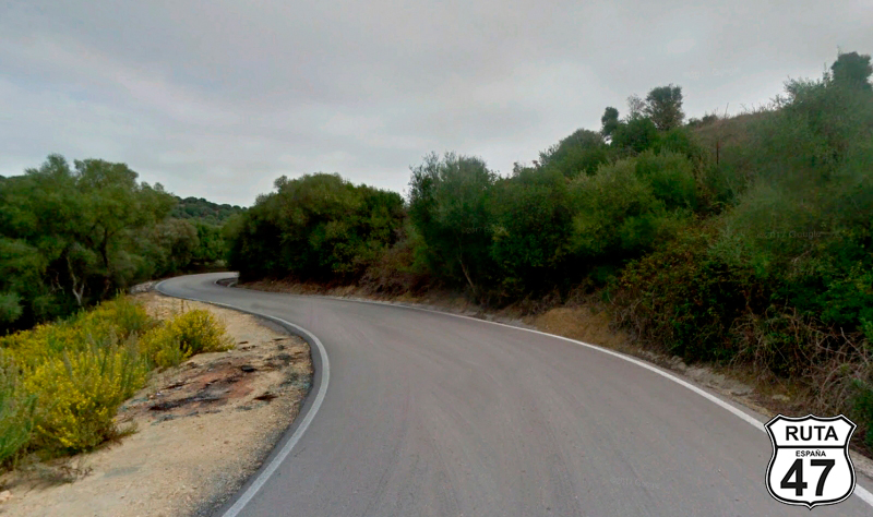
Tramo 11: Algatocín - Jubrique (13 Km)
We now progress through what may be the most curved stretch of the entire route, leading us to Jubrique over 13 km.
The first 7 km consist of a very sinuous descent with several hairpin turns, leading us to cross the Genal River located next to a camping site of the same name, where the municipal area of Jubrique begins, even though we still have several kilometers to reach this locality.
After the campsite, another sinuous ascent brings us closer to the town of Jubrique, where we will change roads without accessing any intersection.
Final del tramo
12
Tramo 12: Jubrique - Estepona (32 Km)
We continue navigating countless curves until we reach the tourist and coastal town of Estepona, on a narrow, well-maintained asphalt with no horizontal signage, just the way we like it at www.motorutas.com.
Although Route 47 is not primarily characterized by straight stretches, once again the constant leaning to the left and right further rounds the tires, achieving even wear, while, without stopping the curves, we cross the A-7 over an overpass that will take us to a roundabout where we will continue straight.
We have already covered 200 km, and it's noon, good reasons to take a break of 60 to 90 minutes to grab a bite, and if you're up for it, take a dip in the Mediterranean to approach the afternoon route with more joy. We've heard about a biker bar around here, so without hesitation, let's go for a couple of tapas.
Final del tramo
0
Tramo 13: Estepona - A-397 (17 Km)
With our stomachs semi-full (we don't want a heavy digestion on the bike), we look for the A-7 and get ready to leave Estepona towards Málaga, riding on this fast road that would take us to Málaga in just 60 minutes.
Riding next to the sea has always been enjoyable on Route 47, but to be honest, we prefer to avoid the Mediterranean coast as much as possible due to its tourist saturation. So, we ride on the A-7 for 17 km before leaving it at exit 172 towards San Pedro Alcántara and Ronda.
Final del tramo

172
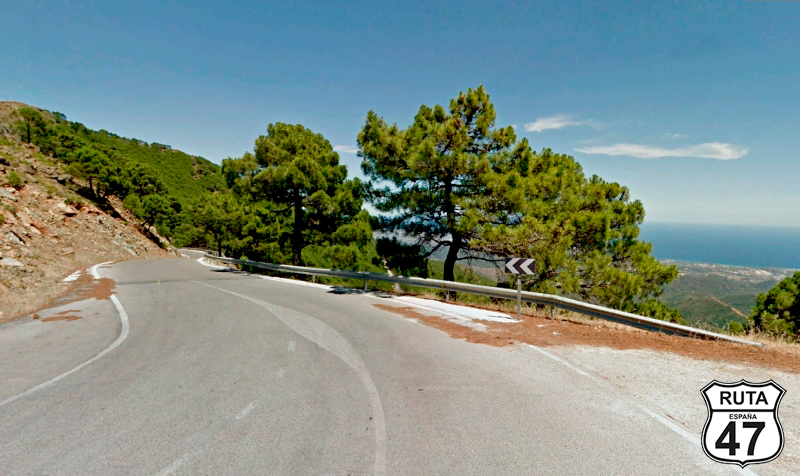
Tramo 14: A-397 - Ronda (48 Km)
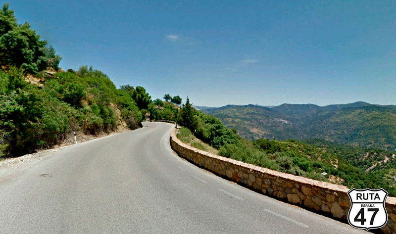
A good handful of curves still await us in this new detour, leaving the Mediterranean coast to head towards Ronda in a northern direction.
From the beginning of the stretch, we embark on a winding path through the Sierra de Ronda, on wide and well-maintained asphalt with incredible views. This will take us from sea level to an altitude of 1200 meters over 32 km.
Next, we begin a winding descent that will lead us to Ronda at an altitude of 740 meters.
In Ronda, we have to make another mandatory stop to admire this beautiful town, especially its Puente Nuevo, a ashlar-built bridge constructed between 1751 and 1793 to connect the historic and modern areas of the city, spanning the Tajo de Ronda, a gorge over 100 meters deep carved by the Guadalevín River.
Final del tramo
Tramo 15: Ronda - Alozaina (42 Km)
After the mandatory stop in Ronda, we continue our route, heading east on the A-366 and parallel to the railway line along a straight road. When we lose sight of the railway, we start curving again on a narrow and well-paved stretch surrounded by trees on both sides.
In a constant descent, we reach El Burgo, a town that we pass by on one of its sides while crossing the Ardales River.
Among curves that become more pronounced as we advance through this stretch, we reach a roundabout near Alozaina, where we will take the third exit towards Casarabonela, Pizarra, and Alora.
Final del tramo

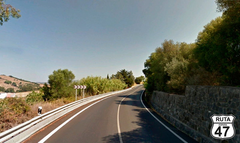
Tramo 16: Alozaina - A-357 (18 Km)
50 km from our final destination, we embark on this last stretch, which, despite having many curves, is quite fast as the road is wide and very well paved.
When we reach the 9 km mark of this stretch, we arrive at an intersection where we will turn right, continuing on the A-354 towards Alora, Pizarra, and Málaga.
From this point on, the number of curves decreases, becoming much more open.
At km 324 and after passing by Zalea, we reach an intersection where we will turn right towards Málaga, yielding the right of way.
Final del tramo
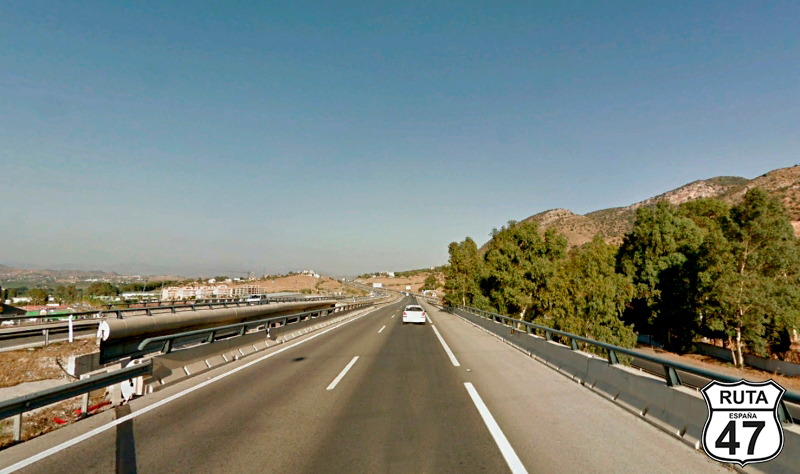
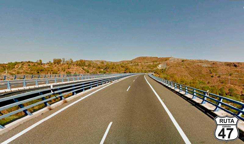
Tramo 17: A-357 - MÁLAGA (34 Km)
After an intense and winding day, we embark on this final stretch of the route that will take us to the capital of Malaga through long straight sections connected by very open curves. The road, despite being labeled as green, is divided to facilitate two-way traffic to the capital.
As always on Route 47, we won't have much time for sightseeing. Tonight, we'll go out for a stroll, grab some tapas, and at least catch a glimpse of the Alcazaba, a palatial fortress from the Muslim era, built on a previous fortification of Phoenician-Punic origin.
Final del tramo