


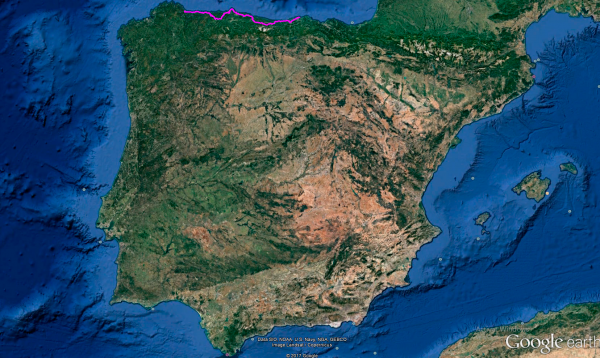
Distance 433 Km. distributed across roads of the following types:
Autopistas y autovías: 28.8 km. Carreteras Nacionales: 213.6 km. Autonómicas de 1º nivel: 111.5 km. Autonómicas de 2º nivel: 50 km. Autonómicas de 3º nivel:25 km. Asfalto o cemento sin nombre: 4.1 km.
Sections: 25
Autor: Gérard
Descripción:
Enchanting route that will take us from Santander to Foz (Lugo) following the route along the Cantabrian coast and visiting spectacular places such as Mirador del Fitu.

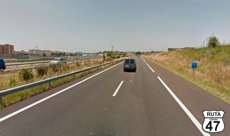
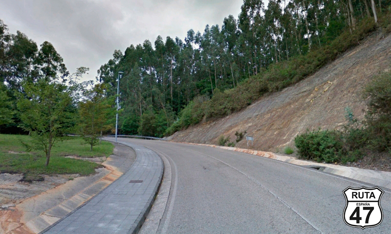
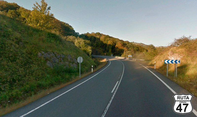
Tramo 1: SANTANDER - A-67 (11.4 Km)
We start this route leaving Santander on the A-67. As always, we choose a fast road like this to get out of densely populated areas as quickly as possible and ride on solitary roads.
After just over 11 km on this blue road and past kilometer marker 5, we join another blue road.
Final del tramo

5
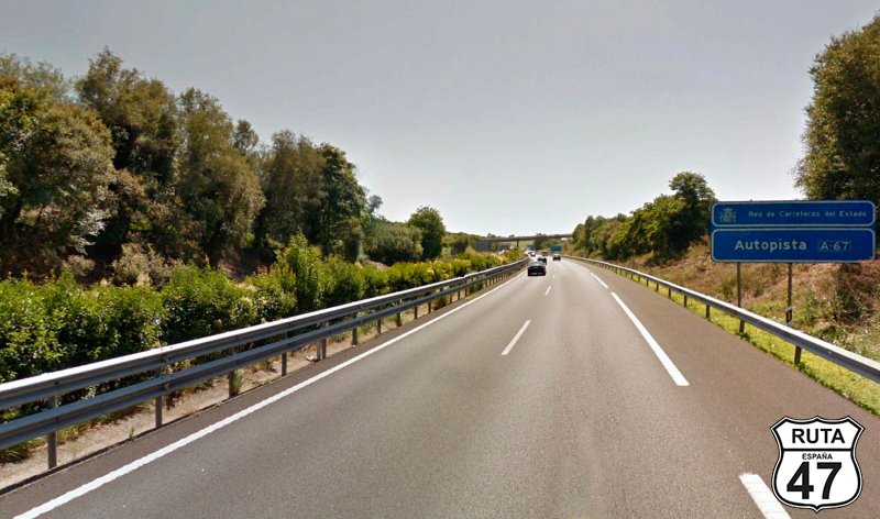
Tramo 2: A-67 - N-611 (11.4 Km)
Of similar characteristics to the previous one, we are now traveling on the A-67, also called the Cantabria-Meseta motorway.
We ride another 11 km on this fast road to leave it, taking exit 187 towards Polanco, Suances, Santillana, and Comillas.
Final del tramo

188
Tramo 3: N-611 - Torrelavega (4.2 Km)
Having left the dual-carriageway roads, which we won't step on again until almost the end of this route, we are about to ride on this national road: the N-611, for 4 km, to reach Torrelavega, a fairly large town.
Final del tramo
Tramo 4: Torrelavega - CA-133 (4.1 Km)
Without entering Torrelavega, we reach a roundabout, and after taking the first exit, we cross the Saja River over a bridge, after which the Oscar Freire Sports Complex is located.
250 meters later, we make a slight right turn next to the Sniace Poliamida company, another victim of the early 21st-century crisis, to join this local road that, after covering 4 km, will take us to the CA-133 on a very well-maintained asphalt.
We are still within the urban area of Torrelavega when we access a roundabout where we must turn right to ascend to the Sierrallana Hospital along an 800-meter slope. At this point, we reach a roundabout where we will continue straight, and shortly after, at another roundabout, we will turn left at the second exit (the first is a track) and begin a descent, where at the bottom, we will make a stop to turn left towards Cabezón de la Sal and Oviedo.
Shortly after passing by a school, a new Stop where we will turn right towards Santillana marks the end of the stretch.
Final del tramo

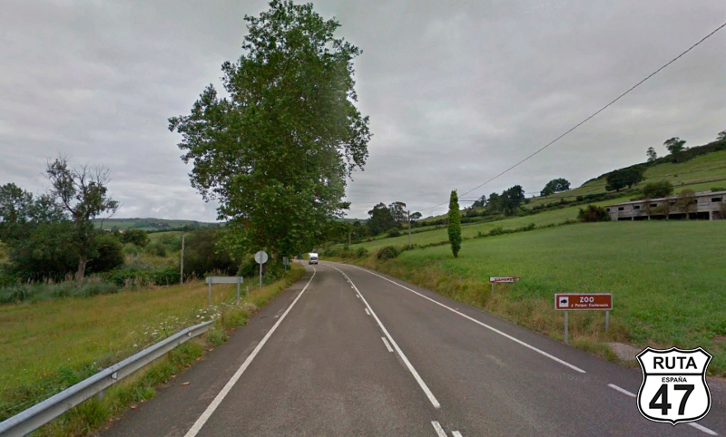
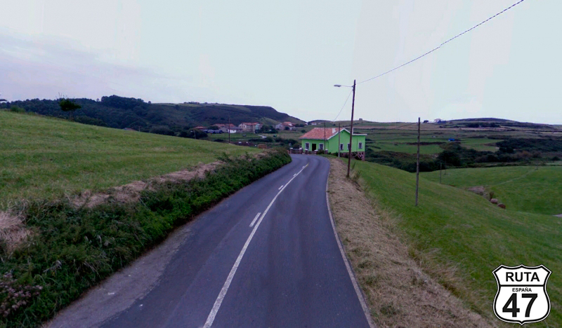
Tramo 5: CA-133 - Santillana del Mar (3.7 Km)
Riding on this first-level regional road, we see fewer and fewer houses, a sign that we have left a large city like Torrelavega.
A brown sign with white letters at the edge of the road announces a Zoo and Quaternary Park just where the sign indicating the end of Vispieres is also located, the town we have just passed.
500 meters later, we will reach a roundabout where we must take the second exit, after which is the Santillana Zoo. On this same exit, another sign announces that the Altamira Caves are nearby.
Continuing on this road, we enter Santillana del Mar, where we finish this stretch.
Final del tramo

Tramo 6: Santillana del Mar - N-634 (24.6 Km)
Having turned left at a stop sign, we are about to leave this beautiful town on the CA-131, also a first-level regional road.
The 24 km of this road take us past Oreña, San Roque, Carrastrada, Toñanes, and Cóbreces, a town after which we enter the Oyambre Natural Park.
In the heart of the park and on a slightly winding route, we pass by Liandres, Casasola, and Comillas, where we get a close view of the sea again.
We leave Comillas to pass shortly after by Ceceño, at the end of which we exit the Oyambre Natural Park. 3.5 kilometers later, we finish this stretch by joining the N-634 at a yield sign towards San Vicente de la Barquera and Oviedo.
Final del tramo

30
Tramo 7: N-634 - N-621 (14.4 Km)
After curving a bit at the beginning of this stretch of almost 15 km, we cross the San Vicente estuary along a 500-meter bridge that doesn't lead to San Vicente de la Barquera.
A right turn and a 400-meter straight lead us to a new bridge to cross the estuary again, and bordering this beautiful town, we continue on the N-634 heading west for another 7 km devoid of curves until just before Pesués, where we cross another estuary: that of Tina Menor, which comes from the Nansa River.
After Pesués, we cross the A-8 under a bridge, and continuing on this National Road and parallel to the motorway we just crossed, we reach a roundabout where we take the fourth exit to join the N-621 towards Unquera, which is right here, and Panes. There is also a sign announcing the proximity of the Picos de Europa.
Final del tramo

Tramo 8: N-621 - AS-114 (10 Km)
As we progress along this national road, we leave sea level behind and begin to ascend. Gradually, we approach mountainous terrain on this wide and well-paved road.
After 10 km, we finish the section on the eastern side of the Picos de Europa, specifically in the town of Panes.
Final del tramo

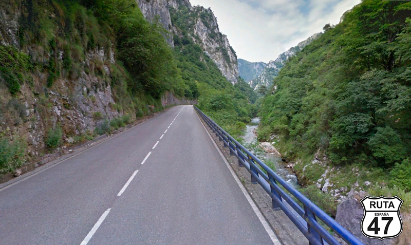
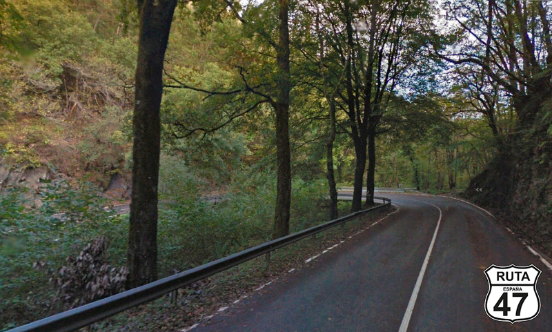
Tramo 9: AS-114 - Cangas de Onis (54.2 Km)
The 54 kilometers of this section offer stunning scenic beauty as we ride through the Picos de Europa National Park. Although we won't delve deep into this mountainous complex, we'll skirt its northern part, following the course of the Cares River. We leave the Cares River behind upon reaching the town of Arenas de Cabrales, where the Castaño River takes over, accompanying us for another good stretch until we reach the small urban center of Canales.
The landscape has already opened up considerably when a new river, the Güeña, once again accompanies us along this well-paved route, which has also widened a bit by the time we reach Cangas de Onís. Without entering the town and after crossing the Sella River, we will join a new national road, the N-625, at a roundabout, heading towards Oviedo and Santander.
Final del tramo

Tramo 10: Cangas de Onis - Arriondas (6 Km)
In the company of the Sella River, which accompanies us on the right until we reach Las Rozas, we arrive in Arriondas via this wide and well-paved road, as befitting its status as a national road.
In Arriondas, where the International Descent of the Sella is celebrated every year, we cross the river of the same name, which, to the delight of the locals, has a recreational area. We leave this town behind, heading towards the AS-260, in the direction of Colunga.
Final del tramo

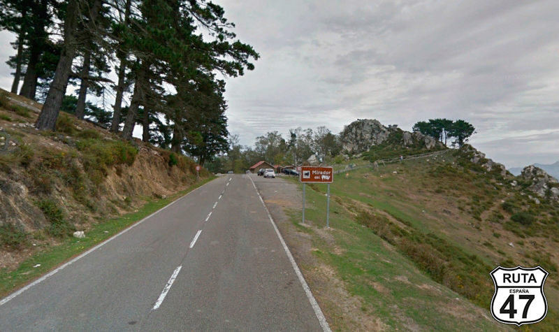
Tramo 11: Arriondas - N-632 (18 Km)
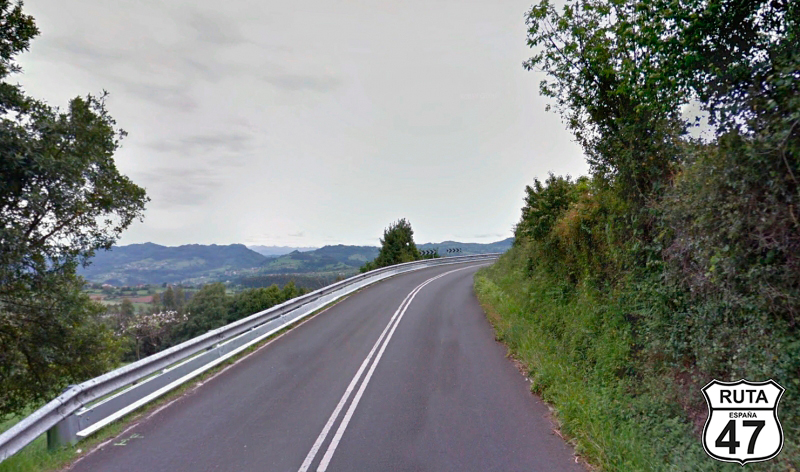
Well past the 100-kilometer mark of the route, we tackle this green road to ascend to Alto del Fitu, where we must make a mandatory stop at its impressive viewpoint located at PK 10 of this winding ascent. Upon reaching the summit, we will have climbed 600 meters in just 10 km.
It will be hard to leave this viewpoint, where tranquility permeates the air, offering a 360º natural spectacle. In the distance, the horizon merges with the Cantabrian Sea, adorned with the profile, almost always snow-capped, of the Picos de Europa.
The winding descent of 8 km takes us back to sea level, reaching Loroñe, where, after crossing the A-8 under a bridge once again, we reach the end of the section at a T-shaped intersection, where we will turn left.
Final del tramo

Tramo 12: N-632 - Gijón (51 Km)
At the beginning of this section, we can relax a bit as we won't have to worry about any intersections until we reach Gijon. The 51 kilometers of this well-paved section have a bit of everything: first, a straight stretch until we pass Colunga, where we access a roundabout with the option to join the A-8 for a quick route to Gijon or continue on the N-632 towards Venta del Pobre. Without a doubt, we choose the latter option.
11 kilometers later, we reach Villaviciosa, which we traverse through its center without leaving the national road. After this town, there's another opportunity, which we don't take, to join the A-8.
Shortly after, and after passing the Golf de Villaviciosa, the route becomes much more winding, practically until we reach Gijon, where you can stop for a meal at one of the restaurants near the beach.
It's not advisable to linger too much. Although we are right in the middle of this stage, we still have 200 km ahead.
Final del tramo
Tramo 13: Gijón - AS-118 (10 Km)
After filling our stomachs in this Spanish city with the historical category of a villa, we leave it in search of the GI-1, which we start along the Arbeyal beach passing under the railroad tracks towards the hospital.
At this point, we can take the opportunity to fill up the tank at a gas station located here.
Among cranes, containers, and conveyor belts of the port of Gijón, we reach a roundabout that we will turn right to join the AS-118 towards Candás and Luanco.
Final del tramo
Tramo 14: AS-118 - GO-1 (11 Km)
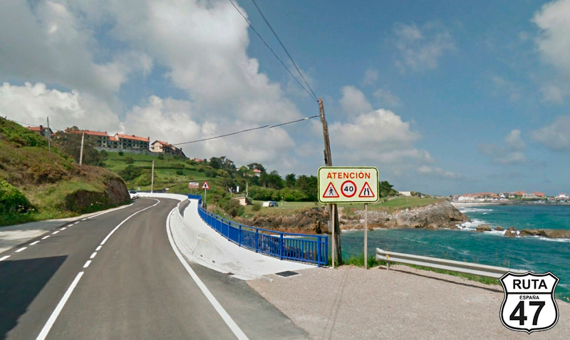
We now head towards Luanco, following the Cantabrian coastline, which we will see on rare occasions as we pass by Candás and reach it after 11 km on this orange road.
Here, we will continue towards Bañugues after passing a roundabout straight ahead.
Final del tramo

Tramo 15: GO-1 - AS-238 (7 Km)
Heading north, we are now traveling on the third-level regional road GO-1 to reach the end of the section, leaving behind the coastal town of Cerín when we reach a stop sign, where we will turn left towards Verdicio and Avilés. In the background, the Cantabrian Sea with beautiful cliffs.
Final del tramo
Tramo 16: AS-238 - Avilés (18 Km)
We continue our journey south on this typical coastal road, and between curves, we reach Avilés, which we cross on its southern side, along with its estuary. We pass a roundabout straight ahead and shortly after, we join the N-632.
Final del tramo
Tramo 17: Avilés - Soto del Barco (16 Km)
Following the Asturian coast, although it is 5 km away in a straight line, we continue towards Soto del Barco on this traffic-free national road, which runs parallel to the A-8.
Final del tramo

Tramo 18: Soto del Barco - N-634 (18 Km)
As we temporarily leave the fast national roads by joining this first-level regional road to head south in the company of the Nalón River, the river occasionally makes its appearance. The well-paved surface of these 18 km is quite straight, as we don't exactly follow the course of the river. After passing the 17th kilometer point, we join the N-634 at a yield sign, heading towards La Espina.
Final del tramo

17
Tramo 19: N-634 - N-634 A (10 Km)
At 100 km from the end of this stage, we begin these 10 km on a wide national road, crossing the Narcea River, which will flow into the Nalón, simultaneously entering the town of Cornellana. Driving westward, we reach a roundabout, where the N-634 splits into two. We will continue straight ahead towards Salas on the N-634 A.
Final del tramo
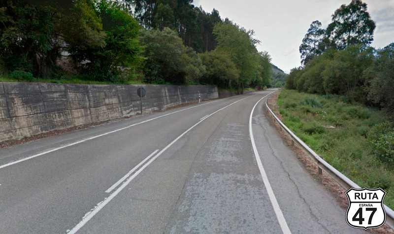
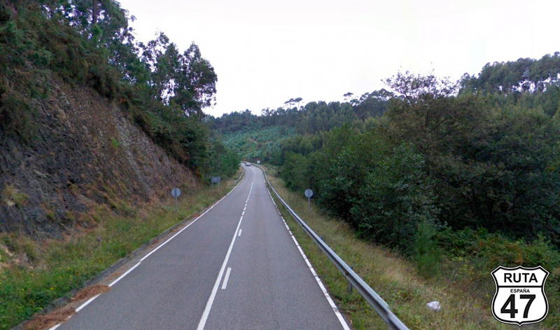
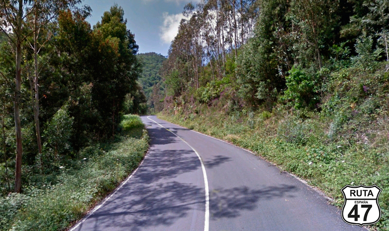
Tramo 20: N-634 A - AS-221 (33 Km)
The layout of this National Road resembles more that of a regional road, at least after surpassing the first 10 kilometers. Although initially quite straight, it eventually becomes a winding road with a very enclosed landscape.
Bordering a mountain and constantly ascending, we can see a wind farm to the left, sometimes very close to the N-634 that we were driving on before taking this road.
After an open right turn, we head north again, starting the zigzag descent with so much vegetation on both sides that at times it feels like we are passing through a tunnel of trees.
We are very close to Galicia now, and that becomes noticeable in the lushness of the landscape.
Just before Brieves and after passing kilometer point 484, we leave this national road by turning left towards Meras and Paredes.
Final del tramo
484
Tramo 21: AS-221 - AS-220 (5 Km)
Eager to reach Foz, the end of this stage, we take the AS-220 heading west until we reach Merás.
On the outskirts of this small urban center, we come to a stop where we must make an almost 180º right turn to join another green-colored road.
Final del tramo

Tramo 22: AS-220 - N-634 (17 Km)
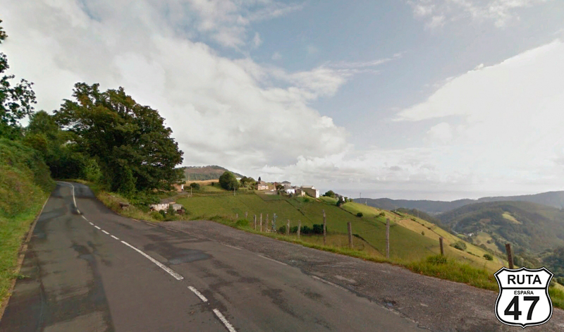
We now embark on the final motorcycle stretch of this route, traveling on the AS-220, a second-level regional road with the narrowness that it entails.
The enclosed landscape of the winding 8.5 km ascent opens up as we pass by Lago, revealing vast expanses of mountains that disappear into the horizon, and where you can catch a glimpse of the Cantabrian Sea, which has occasionally revealed itself during many kilometers.
We descend for another 8 km until, in Almuña, we change segments by turning left and once again returning to a fast lane.
Final del tramo
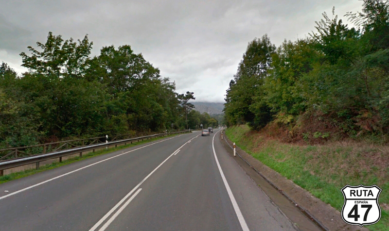
Tramo 23: N-634 - A-8 (47 Km)
Although this long stretch of 47 km continues its westward course parallel to the Cantabrian coast, the truth is that we will see the sea rather little. We won't climb any mountain passes either, and the road is rather straight, with few curves in general. But after almost 400 kilometers behind us, we are eager to reach our destination, so a fast stretch at this point is not at all unwelcome.
Always on the N-634, we arrive in Navia, where we cross the river of the same name on a bridge adorned with flags from different countries. To the right, fishing boats decorate the estuary that reveals the sea in the background.
Eight kilometers later, we reach La Caridad, where a roundabout gives us a new opportunity to join the A-8 to reach our destination sooner.
We continue on the national road, leaving behind the towns of Valdepares, El Franco, Las Poleas, and Serantes, before joining the A-8 at a roundabout after passing kilometer point 548 and a service area in front of a gas station.
Final del tramo
548
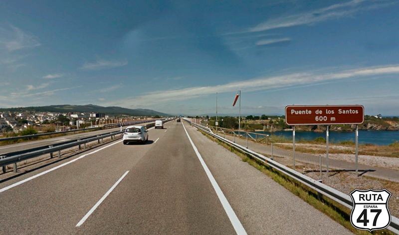
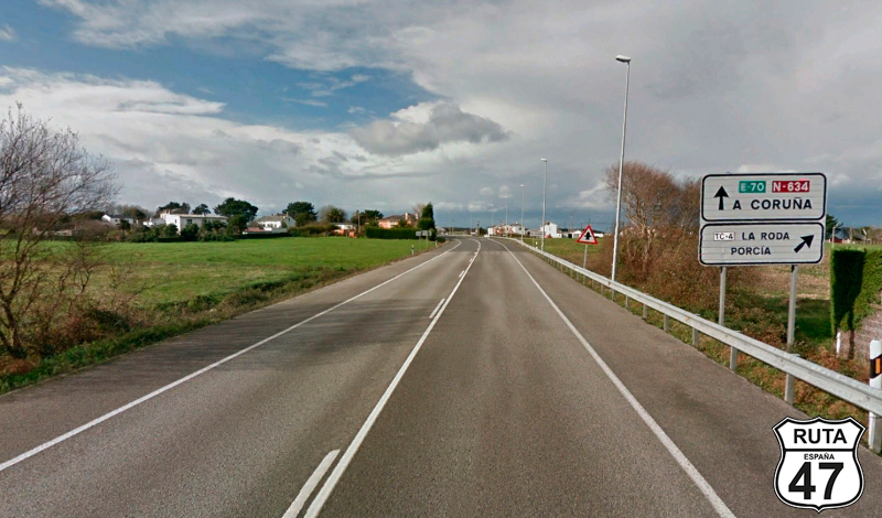
Tramo 24: A-8 - N-634 (6 Km)
We are now traveling on the A-8 on completely straight asphalt.
In the middle of this 6 km stretch, we cross the Puente de los Santos, built in 1987 to serve as a connection between Asturias and Galicia, and renovated in 2008. On the other side of the bridge, a large green sign announces the entry into Galicia, in the province of Lugo.
Shortly after, we leave this fast blue road at exit 508, with the sea in the background.
Final del tramo
508
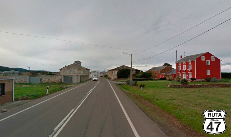
Tramo 25: N-634 - Foz (22 Km)
We approach this last stretch of 22 km, returning to the N-634, which continues parallel to the coast, this time Galician, with a layout where an occasional roundabout breaks the monotony of its straight path.
We pass by small towns like Valado, Rato, Cinxe, or San Cosme, crossing the Masma River just at its mouth, and a couple of kilometers later, we reach Foz. Here, seeking the beach, we'll take the opportunity to rest until tomorrow.
Final del tramo