


Distance 439 Km. distributed across roads of the following types:
Autopistas y autovías: 17 km. Carreteras Nacionales: 56.5 km. Autonómicas de 1º nivel: 125.1 km. Autonómicas de 2º nivel: 179.4 km. Autonómicas de 3º nivel:42 km. Asfalto o cemento sin nombre: 19 km.
Sections: 39
Autor: Gérard
Descripción:
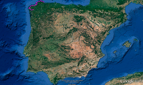
The Galician Coast is the main protagonist of this route, culminating in Santiago de Compostela, famous as the destination of the Camino de Santiago.
The visit to the Estaca de Bares Lighthouse, and the Finisterre Lighthouse, the northernmost and westernmost points of the peninsula, adds a touch of magic to this route.

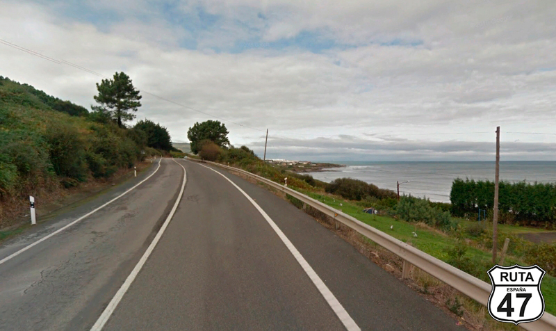
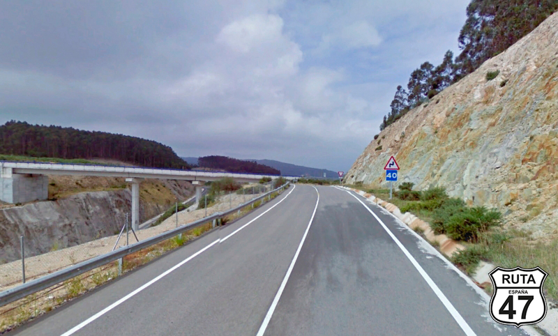
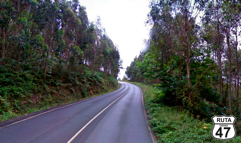
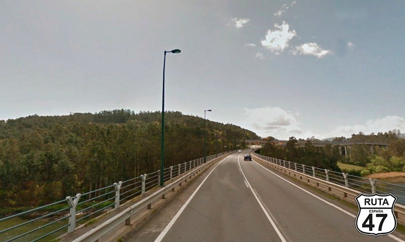
Tramo 1: Foz - LU-862 (23.5 Km)
We start this long stage, whose distance is compensated by the absence of curves, although practically throughout the entire route, we will ride following the coastline of Galicia.
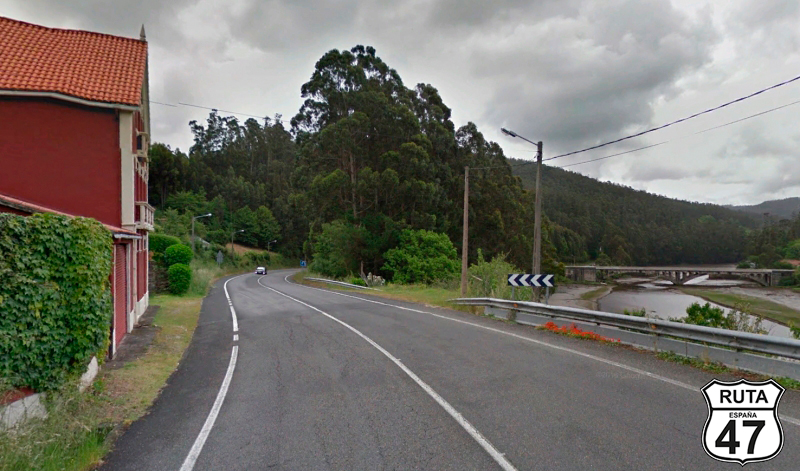
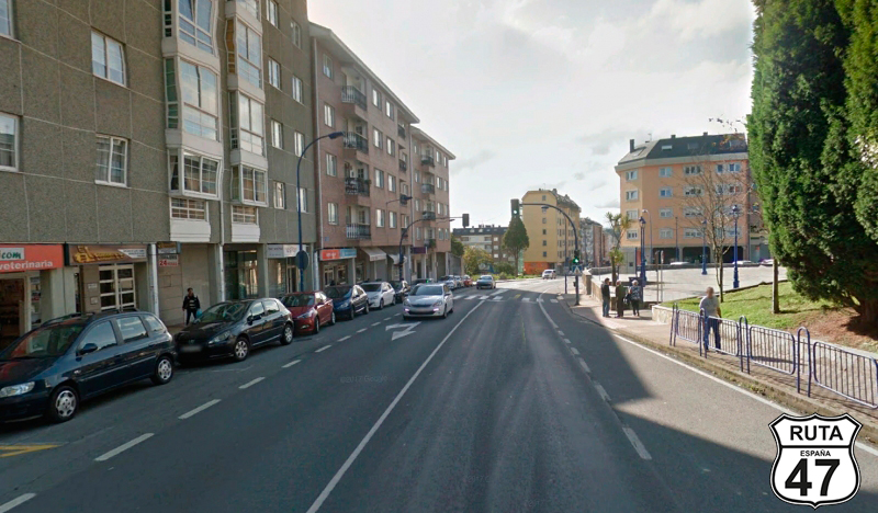
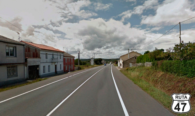
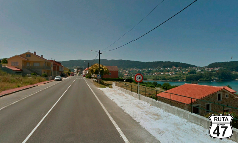
So, we reset the motorcycle's odometer and leave this small and charming coastal town where we spent the night, Foz, in the province of Lugo, on the N-642, heading north and following the coastline.
We leave behind the small town of Vilachá, and shortly after passing Burela, we make a westward turn where we will end the stretch by continuing straight.
Final del tramo

Tramo 2: LU-862 - AC-862 (30.1 Km)
Without realizing it, we have changed roads and are now traveling on the LU-862. Being a first-level regional road, it is quite wide, and this one, in particular, doesn't have many curves, at least until after the coastal town of Celeiro, where we will make a turn to the south and then to the north to bypass a gulf with a beach.
Just before, after kilometer point 93, you can take a detour to access the Mirador de Monte Faro, an elevated place with very good views of the coast.
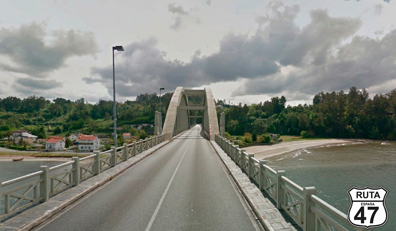
We continue along the coastline until, after crossing a bridge over the Sor River, we enter the province of A Coruña.
Final del tramo
Tramo 3: AC-862 - AC-566 (46.4 Km)
The first locality we encounter in this new Galician province is Porto do Barqueiro, a small fishing village that owes its name to the traditional ferryman who crossed the estuary until the construction of the metal bridge in 1901.
We couldn't resist the temptation to deviate a bit from the route to visit the northernmost point of the Iberian Peninsula located at the Estaca de Bares Lighthouse, a magical and tranquil place that we access from Porto do Barqueiro and is only 7 km away.
We'll retrace our steps to Porto do Barqueiro to continue the route, at a certain distance from the coast until we meet the Cantabrian Sea again, crossing the Baleo River via a narrow bridge. This river will accompany us practically until the end of the stretch, which concludes after covering 86 km.
Final del tramo

Tramo 4: AC-566 - AC-116 (31 Km)
We have switched to an orange road and are traveling through a series of open zigzag curves until we meet the sea again when we arrive in Cedeira. We enter this town, and very close to the coast, we go around a roundabout with a lamppost of 8 light bulbs and continue south.
Leaving Cedeira behind for 4 km, we cross the Das Mestas River towards Ferrol. When we reach Campeiras, just before changing roads, we end the stretch at a roundabout where we will turn right, heading towards Ferrol.
Final del tramo

Tramo 5: AC-116 - Vecinal (-5 Km)
The roundabout where we changed roads directs us more towards the coast, although we won't see the sea on this stretch composed of several straight sections where we will constantly see traces of civilization, with buildings arranged in an anarchic way when viewed from a bird's eye view.
After riding 11 km on this well-paved second-level regional road, we turn left towards Mandía.
Final del tramo
3
Tramo 6: Vecinal - DP-3602 (17 Km)
We are now in section 6, and from 6 to 11, we need to pay close attention because they are very short stretches, barely 1 km each. This particular one consists of a straight road, at the end of which, after a left turn, we will reach a cross-shaped intersection. Although we have the right of way, we pay attention and continue straight.
We noticed that the kilometer point (PK) at this intersection marks kilometers and meters, specifically 3.20.
Final del tramo

Tramo 7: DP-3602 - Mandiá (1 Km)
The asphalt on this extremely short stretch has noticeably narrowed, measuring about three meters. We are intrigued by a blue canopy of Banco Pastor that, more than a canopy, resembles the bench of a soccer field.
A couple of small curves later, we reach Mandiá, the end of the section, at a crossroads next to another more typical canopy, where we also continue straight.
Final del tramo

Tramo 8: Mandiá - DP-3603 (1 Km)
We continue for another kilometer, and in the final part, after a small ascent with a right turn, we reach the end of the section at a T-shaped intersection where we will turn right towards Covas, after the corresponding stop.
Final del tramo

Tramo 9: DP-3603 - Vecinal (4 Km)
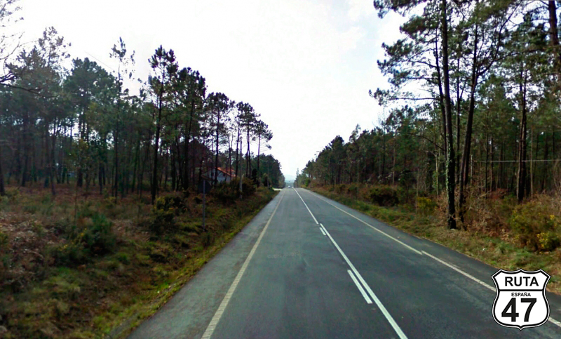
We now enter an area populated with trees as we ride at the foot of a small mountain, more like a hillock. When we reach Raxón and shortly after Pedreira, in its urban area consisting of several houses very far apart from each other, and after passing the kilometer point (PK) 9, we finish this stretch with a left turn.
Final del tramo

9
Tramo 10: Vecinal - DP-3606 (1 Km)
We now approach the shortest stretch of the stage, only 400 meters long, consisting of a straight and narrow asphalt road. At the end of this, we will make a left turn. If you're traveling this route in the summer, instead of turning, you can go a few meters further and take a dip in Pedreira Beach, where we are now.
Final del tramo

Tramo 11: DP-3606 - Claudina (3 Km)
We continue along the Costa Galega, still on the Cantabrian coast, and practically the entire 3.5 km of this stretch along the DP-3606 will be done along San Joge Beach. It's a charming beach that is in a semi-wild state due to the often blowing wind.
We momentarily leave the coastline when we reach Claudina, where we will turn left right at kilometer point (PK) 3.90.
Final del tramo
3
Tramo 12: Claudina - DP-3608 (5 Km)
After section 11 and a few curves, we turn towards the East, where shortly after, we pass under a viaduct of the N-655 when a sign announces a roundabout where we should take the direction towards A Malata.
Final del tramo

Tramo 13: DP-3608 - Ferrol (6 Km)
The presence of houses, increasing in number as we advance, reveals the proximity of a large city, in this case, Ferrol. We enter the city from its western part in a large open curve with the sea on the right and a sports complex on the left.
Final del tramo
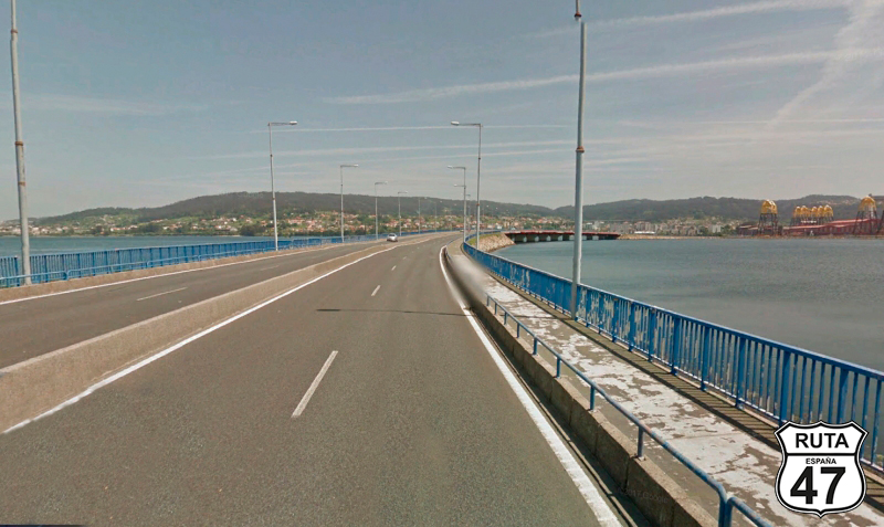
Tramo 14: Ferrol - Fene (5 Km)
After crossing this large city, we exit it through the FE-14, crossing a large bridge that spans the Ría de Ferrol, formed by a sweeping curve to the right. On the other side of the bridge, we reach Fene, where we will change roads.
Final del tramo
Tramo 15: Fene - AC-164 (23 Km)
Now traveling on the N-651, in Fene, we turn south to cross the Ría de Ares after passing through Cabanas.
On the other side of the bridge, we enter Pontedeume, where we continue the route to make two large and fast turns, at the end of which is Cruceriro.
After 10 kilometers, we leave this national road at a right turn, joining the AC-164.
Final del tramo

Tramo 16: AC-164 - AC-162 (4 Km)
We start this 4 km section by crossing the Ría de Betanzos over a narrower bridge than the previous ones, a sign that the landscape is becoming more rural.
Two large curves, one to the right and the other to the left, the latter with sea views, and a straight stretch of 1 km lead us to a roundabout in the town of Cario, where we will leave this green-named road, heading towards Sada.
Final del tramo
Tramo 17: AC-162 - Sada (4 Km)
Heading north, we now approach the tourist and fishing town of Sada, which we reach after traveling 4 km along a rather straight route.
As we pass by Sada Beach, we can see Miño Beach directly ahead, the town we have just passed through.
Final del tramo
Tramo 18: Sada - Playa de Mera (11 Km)
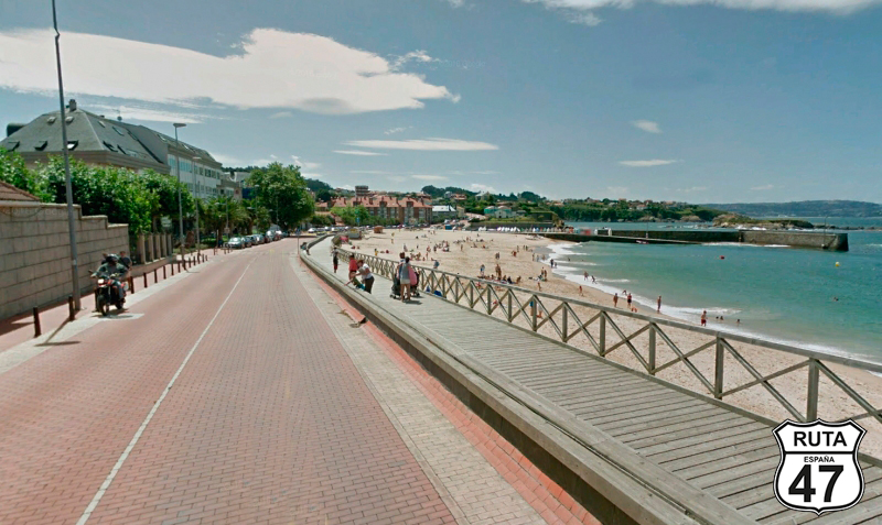
With almost half of the route covered and it being already noon, we decide to take a break for lunch. However, for this purpose, we prefer small coastal towns to large cities. So, we decide to continue a few more kilometers and fill our stomachs at the beautiful Mera Beach, with its white sand, belonging to the Concello de Oleiros.
Final del tramo
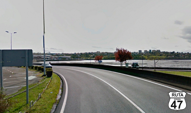
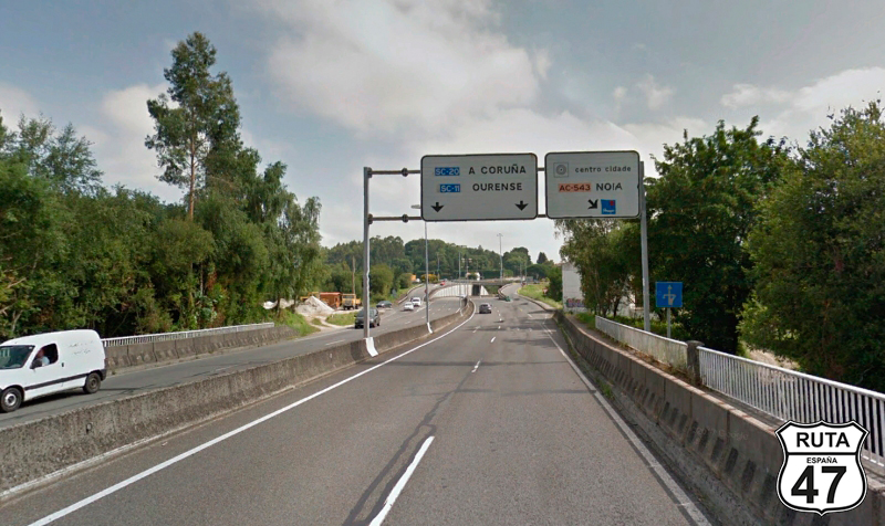
Tramo 19: Playa de Mera - A Coruña (11 Km)
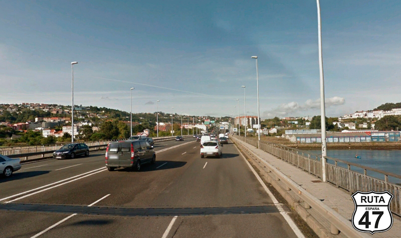
With our stomachs full, we tackle the second half of the route with A Coruña as the destination for this stretch. We will reach it after traveling 10 km in a southwest direction, crossing a bridge where, at its beginning, Perillo, also belonging to the Concello de Oleiros, is located.
Right after crossing the bridge, a large sign announces the proximity of the exit we must take to leave this city that we have barely entered.
Having the certainty that we will visit A Coruña more leisurely someday, we take the second exit towards Santiago and Palavea, thus joining the N-550.
Final del tramo
Tramo 20: A Coruña - DP-3109 (3 Km)
During the beginning of this stretch, we cross several towns absorbed by the Galician capital, so it's better to roll at a cruise speed.
Heading south, on a long straight road, the N-550 has transformed into a kind of grand avenue in this section. We will cross the AP-9 over a short viaduct until, very close to A Coruña Airport, we leave this national road on a slight ascent towards Culleredo.
Final del tramo
Tramo 21: DP-3109 - AC-523 (6 Km)
Having definitively left a big city, the houses in this area are much lower, mostly single-family homes when we reach Fontemaior, located next to the airport.
We cross the AC-14 via an overpass, after which there is a roundabout where we will take the second exit and continue for another 1 km to access another roundabout located above the A-6. We will continue straight ahead, heading towards Mesón de Vento, Cardeda, and Sta Conba, changing roads and, consequently, sections.
Final del tramo

Tramo 22: AC-523 - CP-1913 (8 Km)
We roll the next 7 km on the AC-523, wide, straight, and well-paved. When we pass the PK 7, a sign informs us of the proximity of the exit we must take towards Laracha and Carballo.
Final del tramo

Tramo 23: CP-1913 - A Laracha (10 Km)
After making a U-turn with its corresponding stop, we start this new section where we must be very careful because after the first curve and having traveled only 270 meters, the road splits in two right in front of a quarry. Here, we should continue towards Laracha and Carballo.
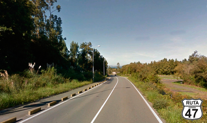
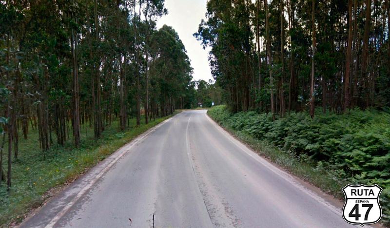
From here, the road narrows considerably, with the horizontal signage disappearing. We're back on the secondary roads that we like so much.
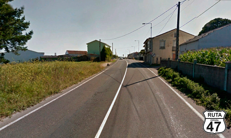
Admiring the open landscape composed of green fields populated with medium-height trees, we reach A Laracha.
Final del tramo
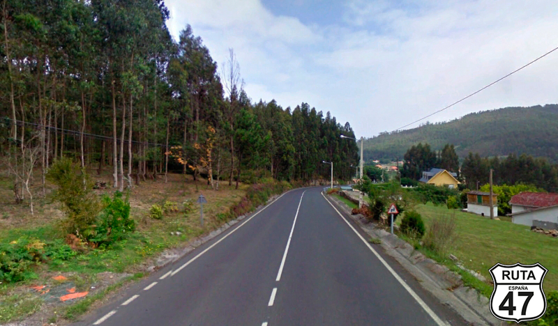
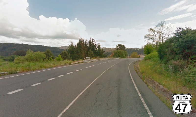
Tramo 24: A Laracha - Carballo (11 Km)
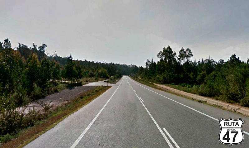
We are now traveling on the AC-552 to reach Carballo in the southwest direction. The 11 kilometers that separate A Laracha from Carballo, with an open and very green landscape, will take us about 8 minutes since the asphalt of this fast stretch is in very good condition and there are no relevant curves.
Once in Carballo, we continue straight until we reach a pharmacy located in an isolated three-story building. Right there, we will turn right towards Fisterra, Cee, Bruño, Malpica, and Ponteceso.
Final del tramo
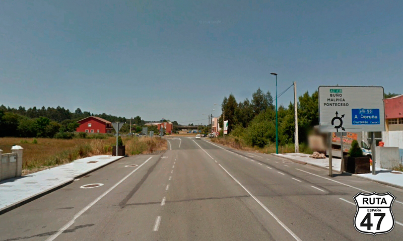
Tramo 25: Carballo - AC-418 (2 Km)
We now proceed through this short stretch of only 2 km until we reach a roundabout where we will continue straight towards Buño, Malpica, and Ponteceso.
From this roundabout, the next roundabout where we will take the second exit towards the same towns is already visible.
Final del tramo
0
Tramo 26: AC-418 - AC-419 (9 Km)
The AC-418, which we are now traveling on, doesn't differ much from the previous road that brought us here. It continues to be straight and well-paved. Right at PK 9, we reach a roundabout where we will take the fourth exit towards Ponteceso.
Final del tramo

9
Tramo 27: AC-419 - Ponteceso (11 Km)
Seeking the sea again, we now head to Ponteceso, a coastal town that we will reach after 11 km of straight and well-paved road.
We cross the Allones River and change roads, starting a new section.
Final del tramo
Tramo 28: Ponteceso - As Orelas (5 Km)
There's a scent of the sea in this stretch that runs parallel to the Allones River, which widens as we approach its mouth, visible on the right.
We reach As Grelas, where we will turn left at a yield sign.
Final del tramo

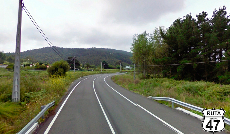
Tramo 29: As Orelas - Baio Grande (8 Km)
At the beginning of this 8 km stretch, we encounter open and fast curves, and a straight road of just over 2 km brings us to two roundabouts that provide access to the recently constructed AG-55 to streamline traffic in the area.
We pass through both roundabouts, continuing straight ahead, and shortly after, we enter Baio Grande, where we will turn right towards Fisterra.
A green sign announces that we have just entered the Concello de Vimianzo.
Final del tramo
Tramo 30: Baio Grande - VG-14 (31 Km)
Let's set aside the short stretches for a moment and get ready to ride on this wide and well-paved second-level regional road heading south.
Within legal limits, we push the accelerator to the maximum and, enjoying the ample road and open curves, we reach a roundabout where a sign on the second exit announces Fisterra.
We embark on this great journey from the easternmost point of the Iberian Peninsula, and in this same stage, we have been at the northernmost point. So, we consider it a must to visit Cabo de Finisterre, the westernmost point, and that's where we're heading.
Final del tramo
Tramo 31: VG-14 - Sandiñeiro de Abajo (5 Km)
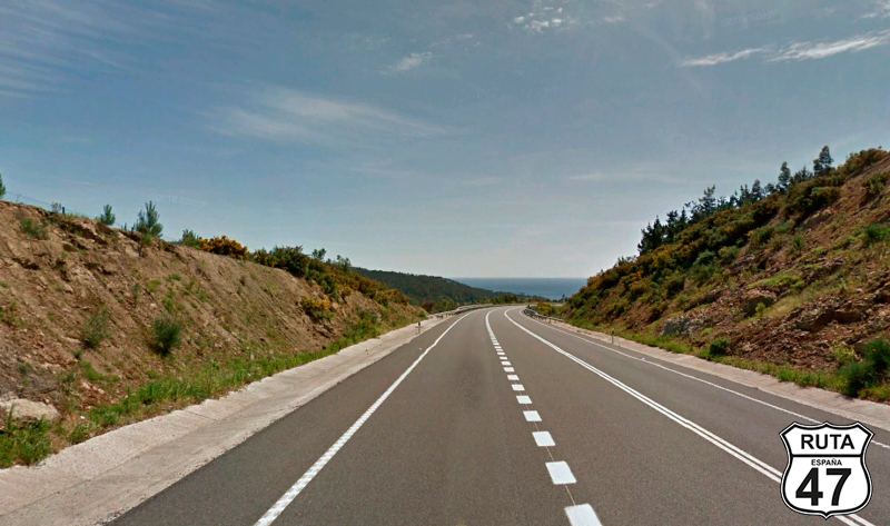
After an ascent where we overcome a 100-meter elevation gain in 2.5 km, we begin the descent towards Sardiñeiro de Abajo.
In the distance, beautiful views of the sea make the gaze extend to the horizon.
After another 2.5 km of descent, we reach this town, entering it through another roundabout, heading towards Fisterra.
Final del tramo

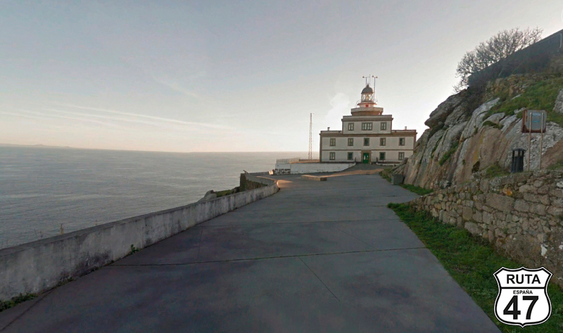
Tramo 32: Sandiñeiro de Abajo - Faro de Finisterre (10 Km)
We continue along the coastline until we reach Fisterra. From here, we proceed on a beautiful and narrow path at a very slow speed, as this is a common transit area for pedestrians until we reach the Finisterre Lighthouse, another magical place but logically exploited for tourism.
It's a pity that on this route, we won't be able to witness the sunset, as we still have 100 km of road ahead to reach Santiago de Compostela. Nevertheless, we take our time to admire the beauty of these landscapes with the Atlantic Ocean as the protagonist.
Final del tramo
Tramo 33: Faro de Finisterre - Cee (19 Km)
We return on the same road that brought us here until we reach the roundabout that marked the entrance to Fisterra to continue the route towards Corcubión.
With the Atlantic still in view, we begin a 1.5 km ascent with its corresponding descent that will take us into Cee, where this section ends. Pay attention to the intersection that marks the beginning of the AC-550, located just after a traffic light, which we have not considered in this route, as the short stretch on this road is within this town.
We progress through Cee, and again, it's important to pay close attention to the left turn we must take. Due to its narrowness, it seems to lead to a neighborhood in the town, marked by a sign indicating the direction to As Campas and a small sign indicating A SANTIAGO, with the famous shell symbol of the Camino de Santiago.
Final del tramo
Tramo 34: Cee - CP-3404 (10 Km)
Having already passed Cabo de Finisterre, we will now head generally eastward to reach the Mediterranean coast again.
During the first 6 km of the 10 that make up this section, the meager Bruxanes Das Pozas River accompanies us, showing itself only a couple of times before losing sight of it definitively.
At PK 0, we end this section at a roundabout adorned with the coat of arms of the Dumbria Council and overlooking a wind farm. In this roundabout, we turn right at the first exit towards Mazarico, Sta. Comba, and Outes.
Final del tramo
0
Tramo 35: CP-3404 - A Serra de Outes (27 Km)
With almost 400 km covered today and eager to reach Santiago de Compostela, we begin this 27 km section, traveling on a straight route in a constant and gentle descent. After passing O Pino del Val, the descent becomes steeper and more winding, with a closed landscape populated by trees on both sides of the road.
Shortly after, we arrive at the coastal town of A Serra de Outes.
Final del tramo
Tramo 36: A Serra de Outes - CG-1.5 (5 Km)
We leave A Serra de Outes heading south, constantly accompanied by the Ría de Muros E Noia, bidding farewell to the sea in general and the Atlantic in particular, with a "see you later" as we will greet it again in a few days, somewhere in Andalusia.
After 5 km, we join the CG-1.5, the first of the roads that will lead us straight to our final destination of the day.
Final del tramo

Tramo 37: CG-1.5 - AG-56 (18 Km)
After covering 400 kilometers and already eager to get off the motorcycle, we travel on this highway, even though we could have taken a more secondary road that runs parallel to this. After 18 km without significant curves, we finish the section entering the AG-56, almost without realizing it.
Final del tramo
12
Tramo 38: AG-56 - SC-20 (12 Km)
Besides reading it on the signs, we notice the change in the road because it is divided and has two lanes in each direction.
Taking advantage of the speed of this road, we accelerate without exceeding the legal limits, and after 12 km almost straight, we leave it at exit 1 towards Santiago, Milladoiro, and Pontevedra.
Final del tramo
1
Tramo 39: SC-20 - Santiago de Compostela (7 Km)
Now we are traveling on the SC-20, in these last kilometers of this final section that take us to our final destination: Santiago de Compostela.
We don't have much time for sightseeing, but we won't leave without seeing its famous Cathedral, the destination of the thousands of pilgrims who come here following the Camino de Santiago.
Final del tramo