


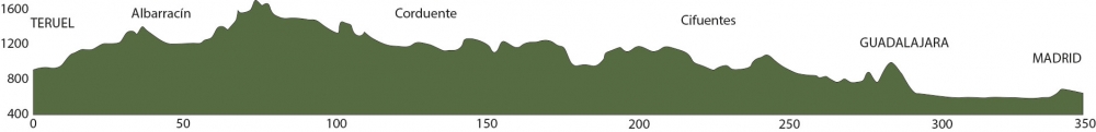
Distance 347 Km. distributed across roads of the following types:
Autopistas y autovías: 56 km. Carreteras Nacionales: 10.2 km. Autonómicas de 1º nivel: 10 km. Autonómicas de 2º nivel: 195.7 km. Autonómicas de 3º nivel:61.3 km. Asfalto o cemento sin nombre: 13.8 km.
Sections: 19
Autor: Gérard
Descripción:
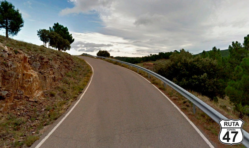
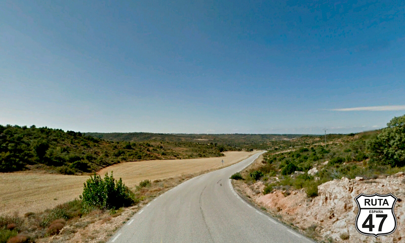
Tramo 1: TERUEL - A-1513 (3.2 Km)
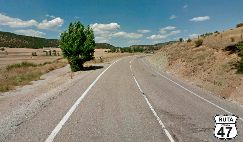
We leave Teruel on the same road that brought us here: La N-234.
So, looking for this road, we head towards Madrid, following the signs towards this great city, the Capital of Spain, which roughly coincides with the halfway point of Route 47.
Shortly after taking this road, we leave it at an exit towards San Blas.
Final del tramo

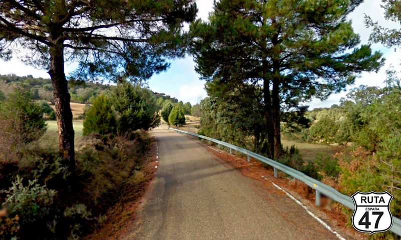
Tramo 2: A-1513 - Vecinal (24.8 Km)
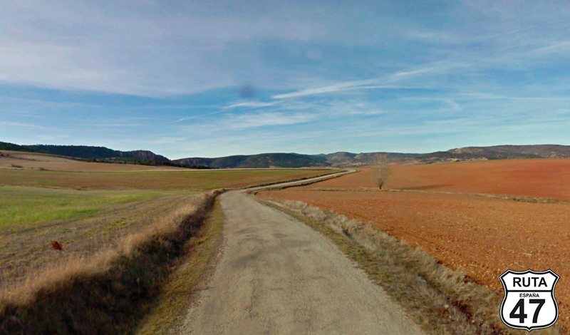
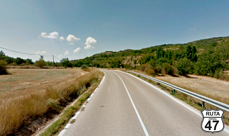
We leave the main roads and take the first secondary road of this stage: the A-1513 to ride the next 25 km on it.
Shortly after, following a fairly straight path, we reach San Blas, a locality that we practically pass by. After that, we begin a gentle ascent of 5 km, consisting of open curves and adorned with small trees on both sides of the road.
The landscape opens up again until we reach Bezas. On the way out, we start a similarly gentle ascent until, 3 km after Bezas, we take a right turn towards Gea de Albarracín and Albarracín. BE CAREFUL because the road signs are not very visible.
Final del tramo

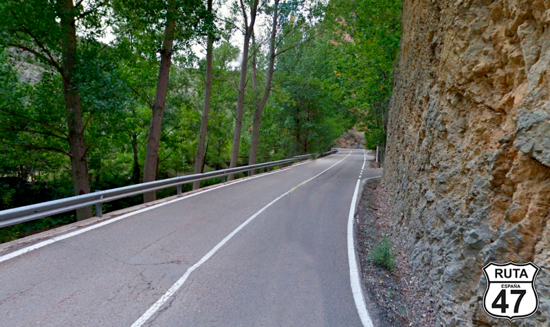
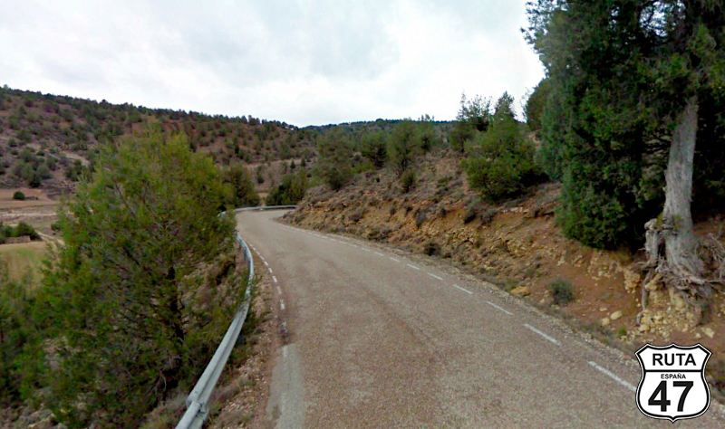
Tramo 3: Vecinal - Albarracín (13.8 Km)
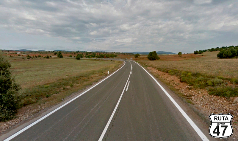
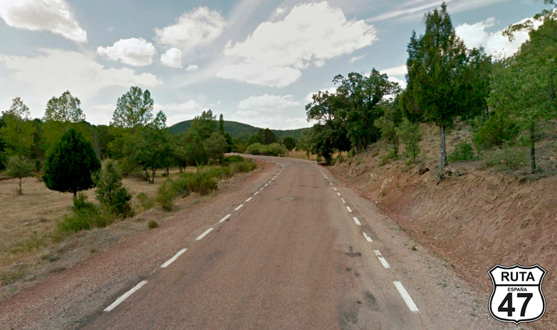
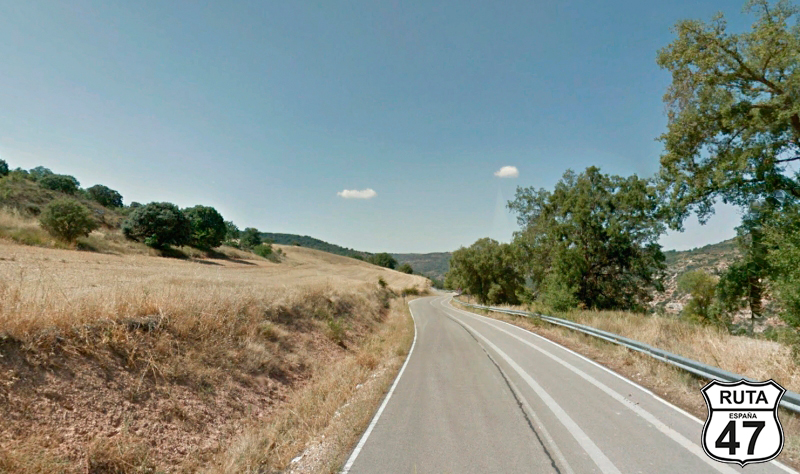
Now we are traveling on a local road, and it's surprising to see the good condition of the asphalt on this type of road for almost 14 km that will take us to Albarracín. The route is curved, at least until reaching the highest part, and the trees begin to get taller.
At kilometer 41.8, we reach this beautiful town situated on a bend of the Guadalaviar River. The high walls of Albarracín, dating back to the Middle Ages, dominate the adjacent hillside.
Final del tramo

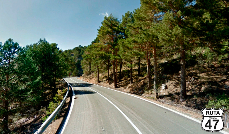
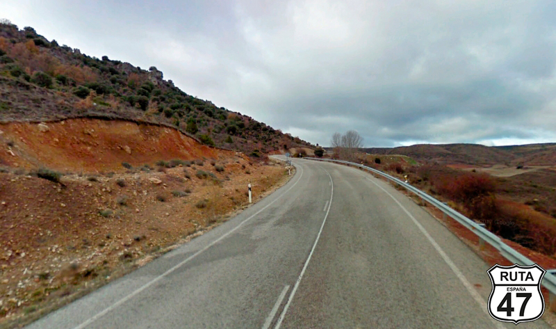
Tramo 4: Albarracín - A-2707 (38.6 Km)
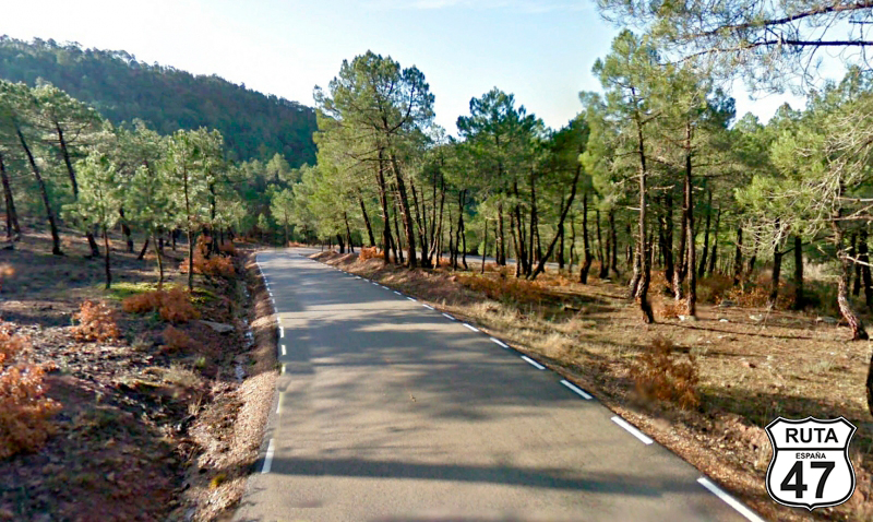
Leaving behind this medieval town, we plunge into the Sierra de Albarracín, closely following the course of the Guadalviar River, ensuring us endless curves of all kinds for almost 40 km that make up this stretch.
After 32 km of ascent, we reach the Orihuela pass, located at an altitude of 1650 m, and begin a shorter descent until just before Orihuela del Tremendal, where we turn left towards Molina de Aragón.
Final del tramo

Tramo 5: A-2707 - CM-2111 (4.3 Km)
A sweeping left turn takes us westward on this yellow regional road in an ascent of just over 4 km until, at the highest point, we change autonomous communities and enter the province of Guadalajara.
Final del tramo

Tramo 6: CM-2111 - CM-210 (34.3 Km)
The change in asphalt is not noticeable with the change in autonomous community, an interesting detail, especially considering that each autonomous community is responsible for maintaining these regional roads.
What is noticeable is the chill of the altitude, which is around 1500 m, where the open landscape with mountains decorating the horizon is a true delight for the eyes.
We enter the Alto Tajo Natural Park in the company of the Cabrillas River, whose zigzagging course marks the path of the asphalt until the Gullones River takes over, ending the stretch at a yield sign towards Molina de Aragón.
Final del tramo

Tramo 7: CM-210 - GU-960 (10 Km)
On the CM-210, a regional road of the first level, we are now traveling north on a route with not too many curves, and the ones that are present are open.
After reaching kilometer point 94, we make a 90º left turn towards Teroleja, on the GU-960.
Final del tramo

94
Tramo 8: GU-960 - Corduente (8 Km)
With Corduente as the end of the stretch, we advance on this recently asphalted third-level regional road, which runs between cultivated fields and a fairly straight path, at least until shortly before reaching Ventosa, where we encounter a short stretch of curves.
The end of the stretch is marked by the town of Corduente, where just before the town hall, we will turn left to leave this town and start a new stretch.
Final del tramo
Tramo 9: Corduente - GU-951 (10 Km)
Riding along the foothills of the Alto Tajo Natural Park, whose lushness can be appreciated on the left, we progress through this stretch composed initially of a few kilometers of slight ascent, ending in a descent that will take us, after kilometer point 77, to a right turn towards Cobeta.
Final del tramo
77
Tramo 10: GU-951 - CM-2120 (9 Km)
We change roads, now traveling on a yellow one, synonymous with solitude, to reach the town of Cobeta on a narrow and well-maintained asphalt.
Shortly after, we arrive at a T-shaped intersection where we will turn left towards Buenafuente.
Final del tramo

Tramo 11: CM-2120 - CM-2113 (11 Km)
Now we take on the CM-2120, which by definition, its color indicates a wider layout than the yellow one that brought us here.
The trees along the road often open up the view in clearings, revealing small mountain formations in the distance.
At the base of a descent after a curved ascent, we reach the end of the stretch at a crossroads where we will head towards Alcolea del Pinar.
Right at the intersection, a sign announces the proximity of the Cistercian Monastery of Sistal, which is only half a kilometer away, and we can't resist the temptation to pay it a visit, even if only to see it from the outside.
Final del tramo
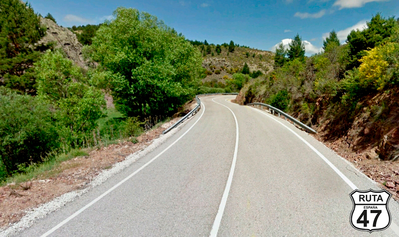
Tramo 12: CM-2113 - CM-2021 (21 Km)
After a brief visit to the monastery, we return to the crossroads where we deviated to ride this 21 km stretch on another green-named road.
Similar to the plateaus of Cerrato Palentino, we start the stretch with a short curved ascent to ride for a while on the flat upper part. We descend along the slope of a hillside in a section with many curves, and after circling a few more slopes, we turn left 90º towards Saelices de la Sal and Cifuentes.
Final del tramo
Tramo 13: CM-2021 - Cifuentes (36 Km)
Shortly after starting this stretch, we arrive at Saelices de la Sal, which, like many towns ending in "de la sal," owes its name to the salt flats it possesses. We have already seen salt flats in Navarra, Alava, and Burgos.
Upon leaving this "Salina" town, we begin an ascent along the slope of the Alto Tajo Natural Park, which, once at the top, will take us more or less on a flat and with few curves until another curved and zigzagging descent takes us to Cifuentes.
We have already covered 225 km of the route. It's noon, and making a stop at this point is a good idea to grab something to eat and at least see the Castle of Don Juan Manuel, where the Cifuentes River originates at its feet, flowing into the Tajo River.
Final del tramo
Tramo 14: Cifuentes - Solanillos del Extremo (8 Km)
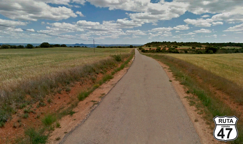
With our stomachs full, we look for the GU-927 to tackle the last 125 km of the stage and head down this road towards Solanillos del Extremo.
At first, the layout is straight, with cultivated fields on both sides, until the monotony of the straights is broken by a short curved ascent, after which a succession of open curves will take us to Solanillas del Extremo.
Final del tramo

Tramo 15: Solanillos del Extremo - CM-2005 (17 Km)
Without entering the urban center of Solanillos del Extremo, and with the tower of its church as the protagonist, we turn right towards Olmeda del Extremo, where we access it after a series of curves.
After passing through this town and after 8 km, we reach Malacuera. A few curves and on the outskirts of Brihuela, we leave this yellow road by turning left just before a bridge that crosses the Tajuña River towards Guadalajara.
Final del tramo
Tramo 16: CM-2005 - GU-921 (20 Km)
The first 4 km of this stretch take us into a valley where we will follow the curved course of the Tajuña River on this road that, more than yellow, by its characteristics seems orange.
At kilometer 269 of the stage, we take a right turn towards Lupiana.
Final del tramo
Tramo 17: GU-921 - N-320 (15 Km)
Shortly after starting the stretch, we leave the valley, ascending on its right side in a very winding path with a right turn and shortly after, we begin its corresponding descent that will take us to Lupiana, which we pass by.
After passing through this town, we begin a new and winding ascent, and at the 2-kilometer mark of the ascent, a right turn announces the presence of the Monastery of Lupiana.
With our weakness for stones, we cannot resist the temptation to approach there, as it is only 1.5 km away.
After a glance at the monastery, we continue the route, and at kilometer 284 of the route, we join the N-320.
Final del tramo
Tramo 18: N-320 - A-2 (7 Km)
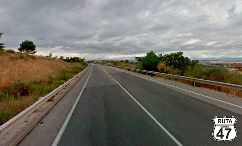
At 63 km from our final destination today, we leave the secondary roads and move on to the highways. In this case, we ride on the N-320, which will bring us closer to Guadalajara with a typical layout of these national roads: wide, well-paved, and with open curves.
At the entrance of this city, we access a roundabout located under the A-2 that will take us to Madrid. We pass under the road, and with a left turn, we join this motorway towards Madrid, which is 55 km away.
Final del tramo

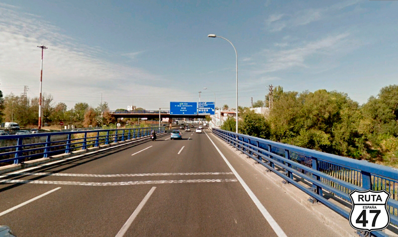
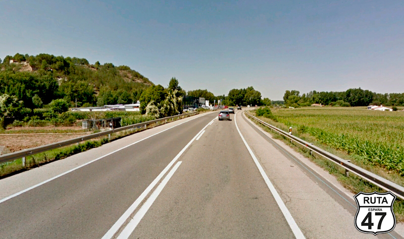
Tramo 19: A-2 - MADRID (56 Km)
o conclude this stage, we now head towards our final destination through the most boring yet fast stretch of this beautiful route that has brought us here from Teruel.
Although it may not seem like it, one could say that we are already in the Capital of Spain since from this point, we will not cease to see industrial areas alternating their presence with towns absorbed by this great city.
After 56 km, we arrive at the hotel, where a well-deserved rest awaits us. One cannot see even a hundredth part of Madrid in a day, but at least we will take a stroll down Gran Vía and Malasaña, where we'll enjoy a well-poured beer.
Final del tramo